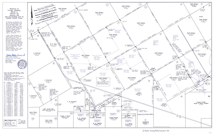
La Salle County Rolled Sketch 34
2019
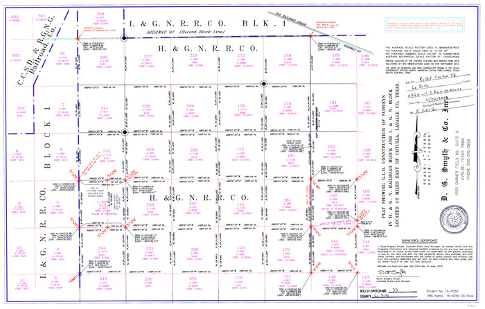
La Salle County Rolled Sketch 33
2015
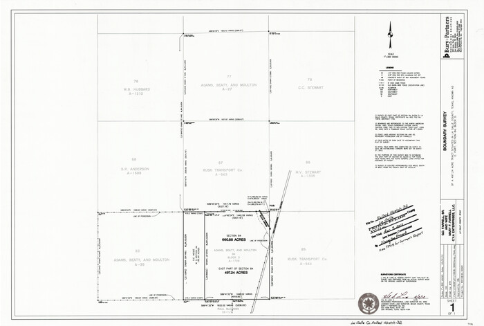
La Salle County Rolled Sketch 32
2012

La Salle County Working Sketch 56
2012

La Salle County Working Sketch 54
2009

Land grants from the state of Tamaulipas in the trans-Nueces
2009
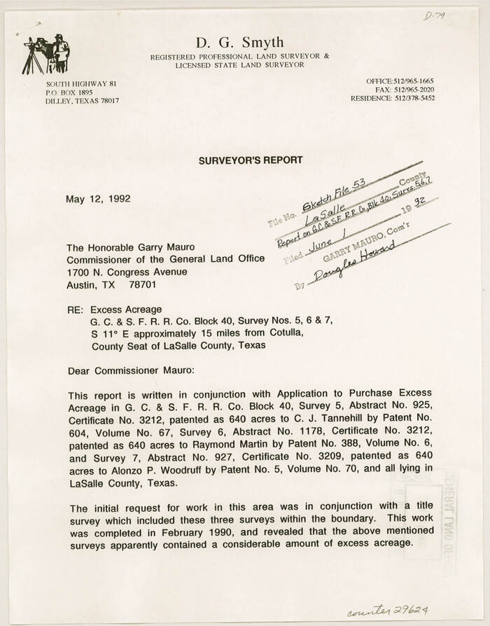
La Salle County Sketch File 53
1992
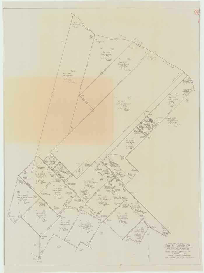
Frio County Working Sketch 24
1992

La Salle County Working Sketch 51
1990
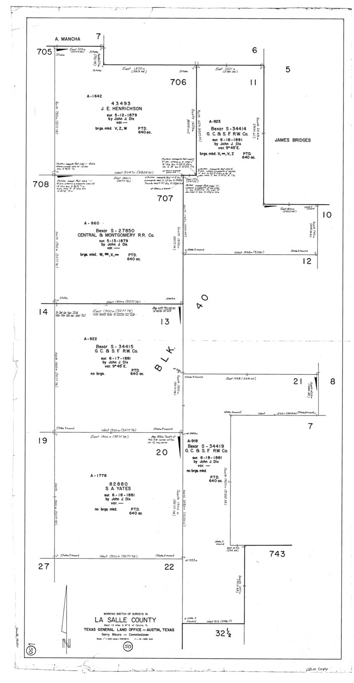
La Salle County Working Sketch 50
1985
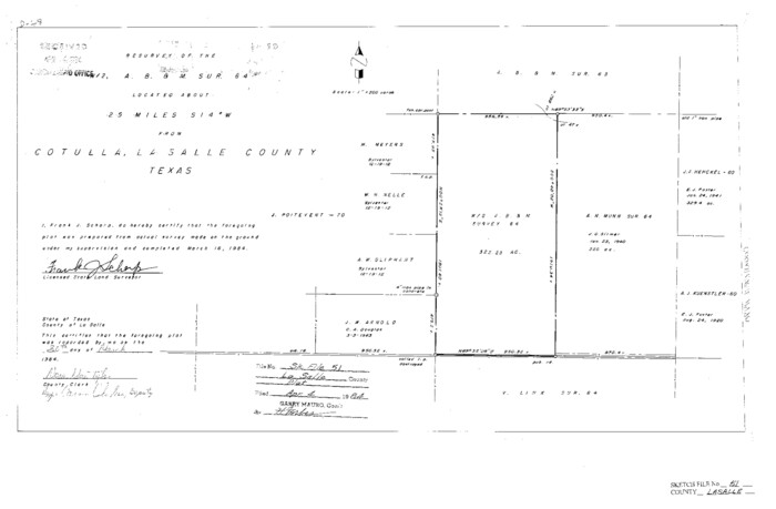
La Salle County Sketch File 51
1984
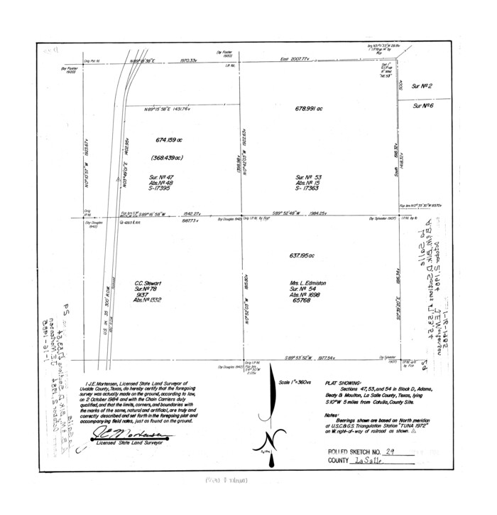
La Salle County Rolled Sketch 29
1984
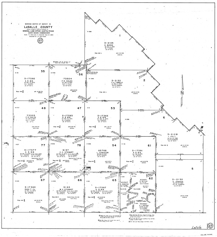
La Salle County Working Sketch 49
1984

Duval County Working Sketch 50
1984
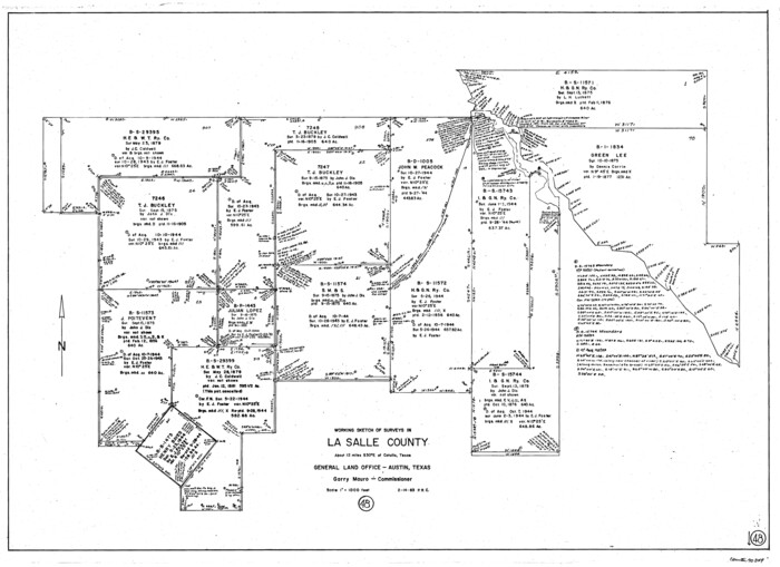
La Salle County Working Sketch 48
1983
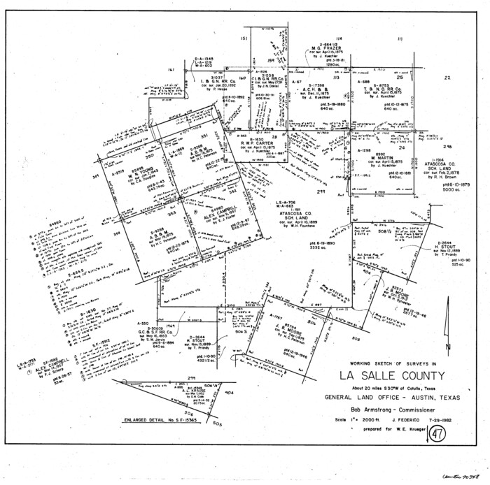
La Salle County Working Sketch 47
1982
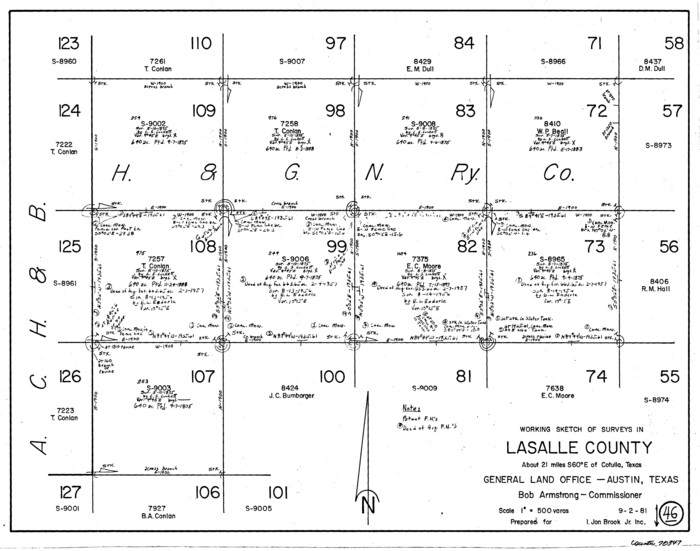
La Salle County Working Sketch 46
1981
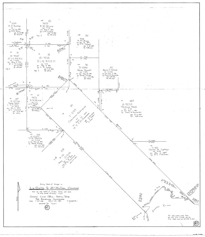
La Salle County Working Sketch 45
1980
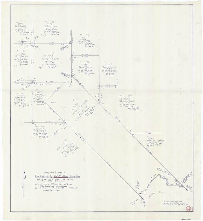
McMullen County Working Sketch 42
1980

La Salle County Working Sketch 44
1980
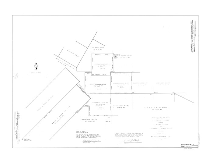
La Salle County Rolled Sketch 27
1979
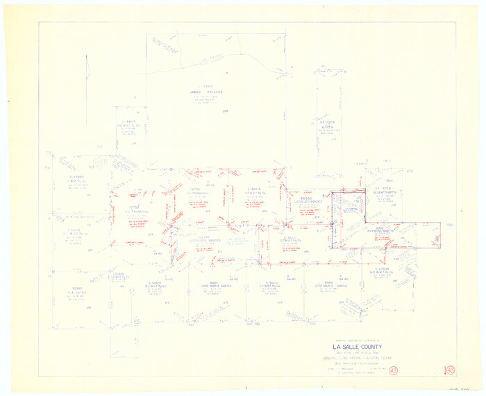
La Salle County Working Sketch 43
1976
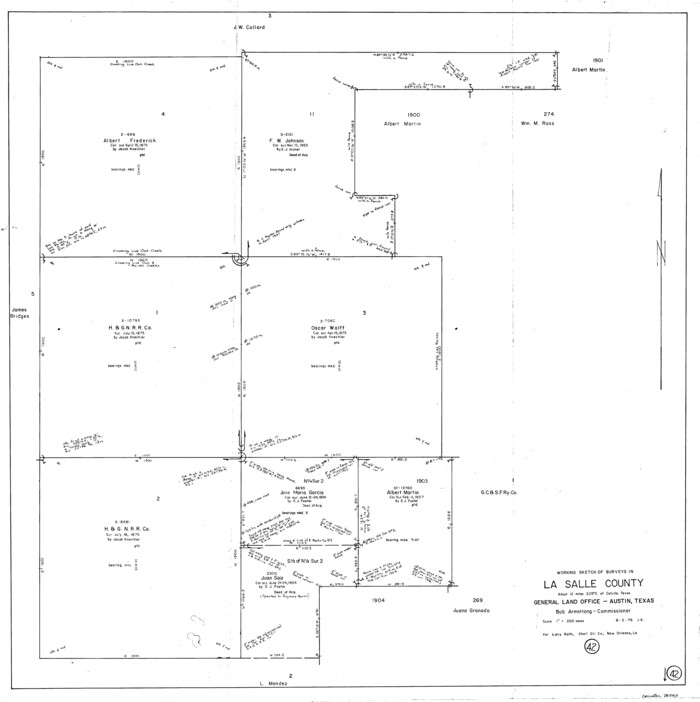
La Salle County Working Sketch 42
1976
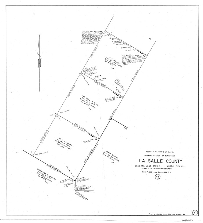
La Salle County Working Sketch 41
1969
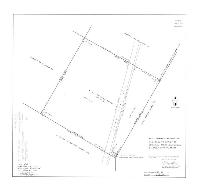
La Salle County Rolled Sketch 26
1969
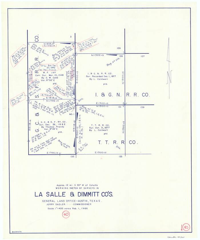
La Salle County Working Sketch 40
1968
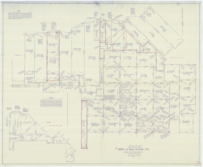
Webb County Working Sketch 65
1964
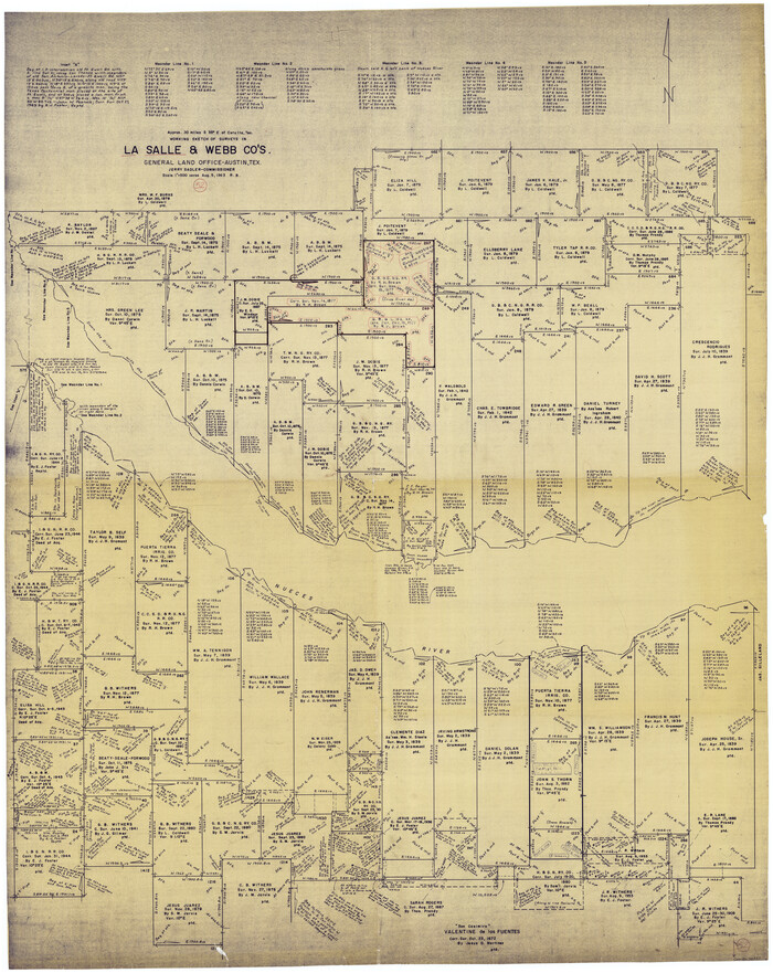
La Salle County Working Sketch 52
1963
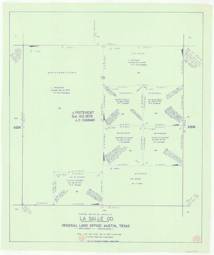
La Salle County Working Sketch 39
1963
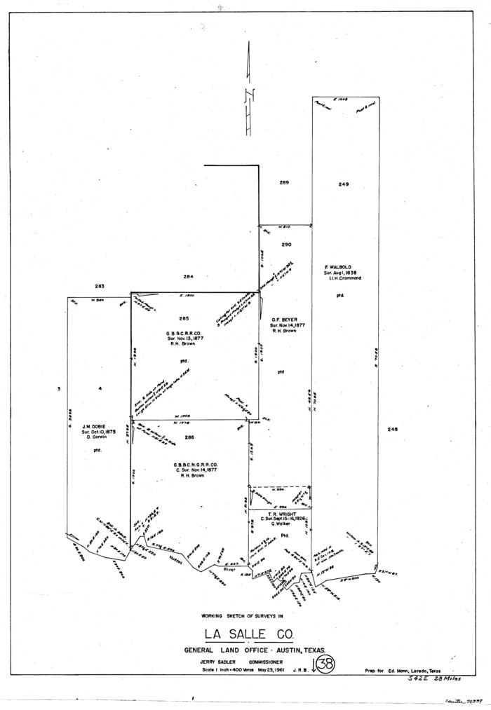
La Salle County Working Sketch 38
1961

La Salle County Rolled Sketch 34
2019
-
Size
22.3 x 35.5 inches
-
Map/Doc
95702
-
Creation Date
2019

La Salle County Rolled Sketch 33
2015
-
Size
17.6 x 27.6 inches
-
Map/Doc
95306
-
Creation Date
2015

La Salle County Rolled Sketch 32
2012
-
Size
24.0 x 36.0 inches
-
Map/Doc
93286
-
Creation Date
2012

La Salle County Working Sketch 56
2012
-
Size
25.5 x 23.0 inches
-
Map/Doc
93277
-
Creation Date
2012

La Salle County Working Sketch 54
2009
-
Size
23.2 x 46.2 inches
-
Map/Doc
89048
-
Creation Date
2009

Land grants from the state of Tamaulipas in the trans-Nueces
2009
-
Size
11.0 x 8.5 inches
-
Map/Doc
94040
-
Creation Date
2009

La Salle County Sketch File 53
1992
-
Size
11.2 x 8.8 inches
-
Map/Doc
29624
-
Creation Date
1992

Frio County Working Sketch 24
1992
-
Size
47.0 x 35.2 inches
-
Map/Doc
69298
-
Creation Date
1992

La Salle County Working Sketch 51
1990
-
Size
33.9 x 29.9 inches
-
Map/Doc
70352
-
Creation Date
1990

La Salle County Working Sketch 50
1985
-
Size
50.6 x 26.2 inches
-
Map/Doc
70351
-
Creation Date
1985

La Salle County Sketch File 51
1984
-
Size
13.4 x 20.5 inches
-
Map/Doc
11990
-
Creation Date
1984

La Salle County Rolled Sketch 29
1984
-
Size
17.9 x 17.3 inches
-
Map/Doc
6589
-
Creation Date
1984

La Salle County Working Sketch 49
1984
-
Size
31.7 x 29.0 inches
-
Map/Doc
70350
-
Creation Date
1984

Duval County Working Sketch 50
1984
-
Size
38.0 x 32.0 inches
-
Map/Doc
68774
-
Creation Date
1984

La Salle County Working Sketch 48
1983
-
Size
26.2 x 36.0 inches
-
Map/Doc
70349
-
Creation Date
1983

La Salle County Working Sketch 47
1982
-
Size
20.3 x 20.5 inches
-
Map/Doc
70348
-
Creation Date
1982

La Salle County Working Sketch 46
1981
-
Size
15.9 x 20.2 inches
-
Map/Doc
70347
-
Creation Date
1981

La Salle County Working Sketch 45
1980
-
Size
35.5 x 30.7 inches
-
Map/Doc
70346
-
Creation Date
1980

McMullen County Working Sketch 42
1980
-
Size
35.6 x 32.6 inches
-
Map/Doc
70743
-
Creation Date
1980

La Salle County Working Sketch 44
1980
-
Size
34.7 x 65.8 inches
-
Map/Doc
70345
-
Creation Date
1980

La Salle County Rolled Sketch 27
1979
-
Size
29.0 x 38.2 inches
-
Map/Doc
6588
-
Creation Date
1979

La Salle County Working Sketch 43
1976
-
Size
32.7 x 40.1 inches
-
Map/Doc
70344
-
Creation Date
1976

La Salle County Working Sketch 42
1976
-
Size
33.4 x 33.3 inches
-
Map/Doc
70343
-
Creation Date
1976

La Salle County Working Sketch 41
1969
-
Size
29.4 x 26.9 inches
-
Map/Doc
70342
-
Creation Date
1969

La Salle County Rolled Sketch 26
1969
-
Size
23.6 x 24.7 inches
-
Map/Doc
6587
-
Creation Date
1969

La Salle County Working Sketch 40
1968
-
Size
23.0 x 19.2 inches
-
Map/Doc
70341
-
Creation Date
1968

Webb County Working Sketch 65
1964
-
Size
49.0 x 59.5 inches
-
Map/Doc
72431
-
Creation Date
1964

La Salle County Working Sketch 52
1963
-
Size
53.5 x 43.0 inches
-
Map/Doc
70353
-
Creation Date
1963

La Salle County Working Sketch 39
1963
-
Size
30.4 x 25.4 inches
-
Map/Doc
70340
-
Creation Date
1963

La Salle County Working Sketch 38
1961
-
Size
26.6 x 18.4 inches
-
Map/Doc
70339
-
Creation Date
1961