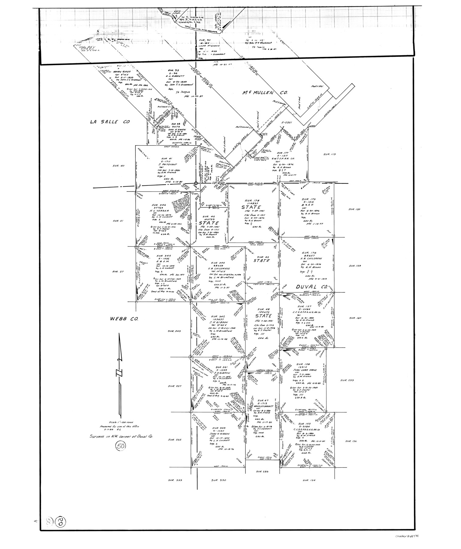
Duval County Working Sketch 50
-
Map/Doc
68774
-
Collection
General Map Collection
-
Object Dates
5/11/1984 (Creation Date)
-
People and Organizations
Elisandro Leos (Draftsman)
-
Counties
Duval La Salle Webb
-
Subjects
Surveying Working Sketch
-
Height x Width
38.0 x 32.0 inches
96.5 x 81.3 cm
-
Scale
1" = 500 varas
Part of: General Map Collection
Rusk County Working Sketch 20a

Print $20.00
- Digital $50.00
Rusk County Working Sketch 20a
Size 17.8 x 21.3 inches
Map/Doc 63655
Culberson County Sketch File 18

Print $8.00
- Digital $50.00
Culberson County Sketch File 18
Size 14.3 x 8.8 inches
Map/Doc 20185
Falls County Sketch File 18

Print $4.00
- Digital $50.00
Falls County Sketch File 18
Size 10.3 x 8.2 inches
Map/Doc 22380
Pecos County Working Sketch 27a

Print $20.00
- Digital $50.00
Pecos County Working Sketch 27a
1931
Size 37.0 x 22.1 inches
Map/Doc 71499
Shelby County Working Sketch 31b

Print $40.00
- Digital $50.00
Shelby County Working Sketch 31b
2003
Size 34.0 x 70.9 inches
Map/Doc 78644
Louisiana and Texas Intracoastal Waterway - Dredging Tributary Channel, Port Aransas to Aransas Pass, Texas

Print $20.00
- Digital $50.00
Louisiana and Texas Intracoastal Waterway - Dredging Tributary Channel, Port Aransas to Aransas Pass, Texas
1940
Size 31.1 x 42.3 inches
Map/Doc 61820
Donley County Sketch File B8

Print $20.00
- Digital $50.00
Donley County Sketch File B8
1920
Size 15.3 x 15.9 inches
Map/Doc 11378
Aransas County Rolled Sketch 1

Print $40.00
- Digital $50.00
Aransas County Rolled Sketch 1
1930
Size 11.5 x 49.5 inches
Map/Doc 10685
Blanco County Rolled Sketch 23

Print $20.00
- Digital $50.00
Blanco County Rolled Sketch 23
2019
Size 24.1 x 35.7 inches
Map/Doc 97346
Polk County Sketch File 30a

Print $8.00
- Digital $50.00
Polk County Sketch File 30a
Size 14.2 x 8.8 inches
Map/Doc 34215
Nolan County Working Sketch 4

Print $20.00
- Digital $50.00
Nolan County Working Sketch 4
1948
Size 21.6 x 28.9 inches
Map/Doc 71295
Sutton County Working Sketch 26

Print $20.00
- Digital $50.00
Sutton County Working Sketch 26
Size 24.0 x 24.7 inches
Map/Doc 62369
You may also like
Tom Green County Rolled Sketch 10

Print $20.00
- Digital $50.00
Tom Green County Rolled Sketch 10
1949
Size 26.4 x 32.5 inches
Map/Doc 7997
No. 2 Chart of Corpus Christi Pass, Texas

Print $20.00
- Digital $50.00
No. 2 Chart of Corpus Christi Pass, Texas
1878
Size 18.2 x 27.3 inches
Map/Doc 73017
[Panhandle Counties]
![89923, [Panhandle Counties], Twichell Survey Records](https://historictexasmaps.com/wmedia_w700/maps/89923-1.tif.jpg)
Print $20.00
- Digital $50.00
[Panhandle Counties]
1930
Size 42.3 x 42.8 inches
Map/Doc 89923

Live Oak County Working Sketch 36

Print $20.00
- Digital $50.00
Live Oak County Working Sketch 36
2008
Size 33.5 x 35.8 inches
Map/Doc 88879
Brewster County Sketch File S-28

Print $40.00
- Digital $50.00
Brewster County Sketch File S-28
Size 26.1 x 36.7 inches
Map/Doc 10982
[Sketch highlighting Bob Reid and Fred Turner surveys]
![91694, [Sketch highlighting Bob Reid and Fred Turner surveys], Twichell Survey Records](https://historictexasmaps.com/wmedia_w700/maps/91694-1.tif.jpg)
Print $20.00
- Digital $50.00
[Sketch highlighting Bob Reid and Fred Turner surveys]
Size 12.5 x 17.6 inches
Map/Doc 91694
Right of Way & Track Map, St. Louis, Brownsville & Mexico Ry. operated by St. Louis, Brownsville & Mexico Ry. Co.

Print $40.00
- Digital $50.00
Right of Way & Track Map, St. Louis, Brownsville & Mexico Ry. operated by St. Louis, Brownsville & Mexico Ry. Co.
1919
Size 25.5 x 57.3 inches
Map/Doc 64622
Polk County Sketch File 35

Print $8.00
- Digital $50.00
Polk County Sketch File 35
1891
Size 14.2 x 8.7 inches
Map/Doc 34232
Lamb County Sketch File B

Print $6.00
- Digital $50.00
Lamb County Sketch File B
1902
Size 11.2 x 8.8 inches
Map/Doc 29344
East Part of West Bay and Southwest Part of Galveston Bay, Galveston County, showing Subdivision for Mineral Development

Print $40.00
- Digital $50.00
East Part of West Bay and Southwest Part of Galveston Bay, Galveston County, showing Subdivision for Mineral Development
1963
Size 42.2 x 58.2 inches
Map/Doc 1906
Mason County Sketch File 2

Print $22.00
- Digital $50.00
Mason County Sketch File 2
1847
Size 8.0 x 14.2 inches
Map/Doc 30680