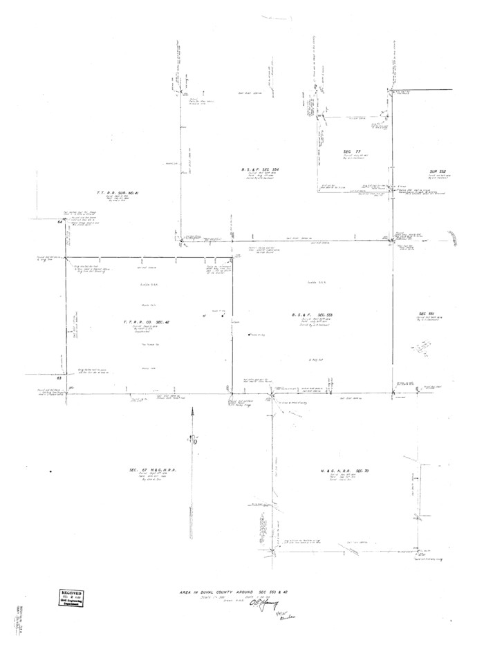
Duval County Sketch File 34a
1935

Duval County Sketch File 38
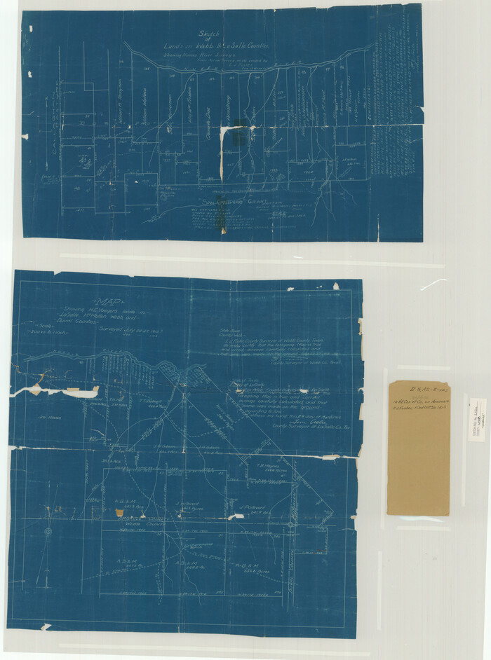
Webb County Sketch File 2 and 2A
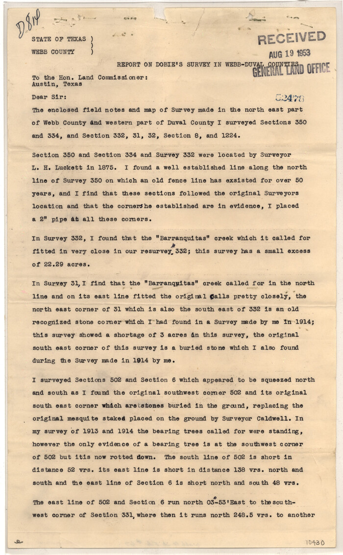
Webb County Sketch File 67
1953

Duval County Sketch File 5
1860
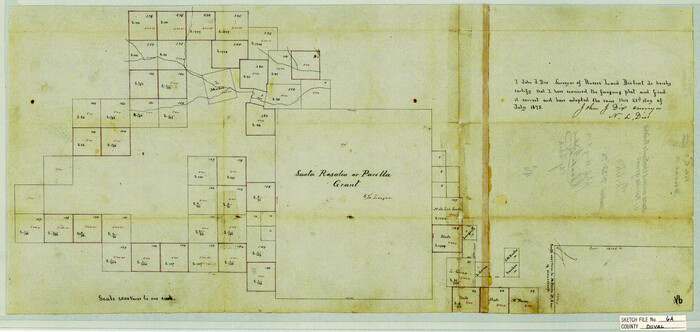
Duval County Sketch File 6a
1875

Duval County Sketch File 17
1876
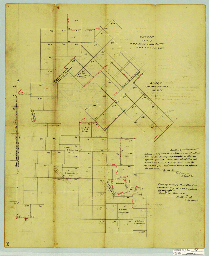
Duval County Sketch File 20
1880
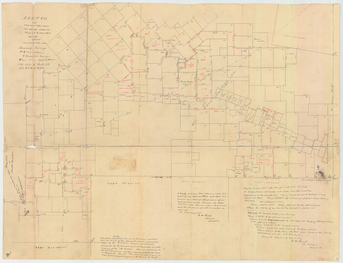
Duval County Sketch File 21
1879

Duval County Sketch File 22
1880

Duval County Sketch File 28
1932
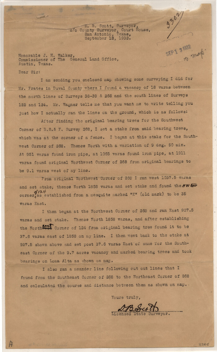
Duval County Sketch File 30
1932

Duval County Sketch File 31
1932
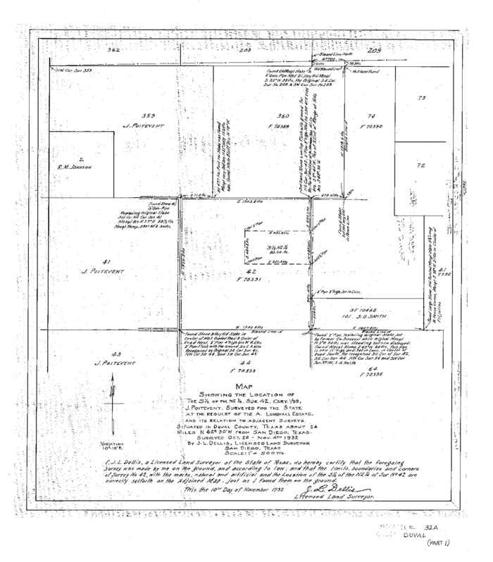
Duval County Sketch File 32a
1932

Duval County Sketch File 34
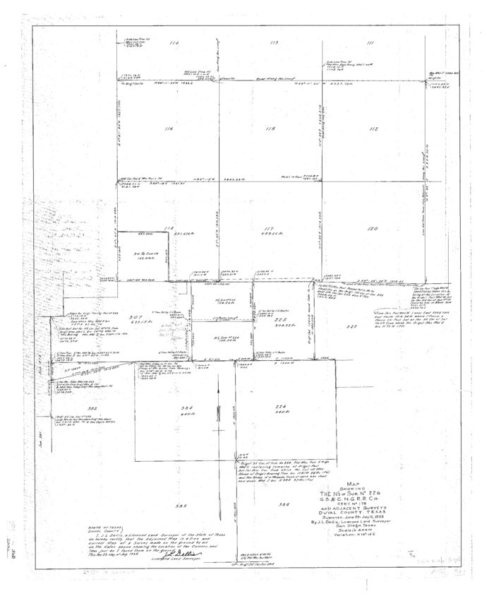
Duval County Sketch File 36b
1935
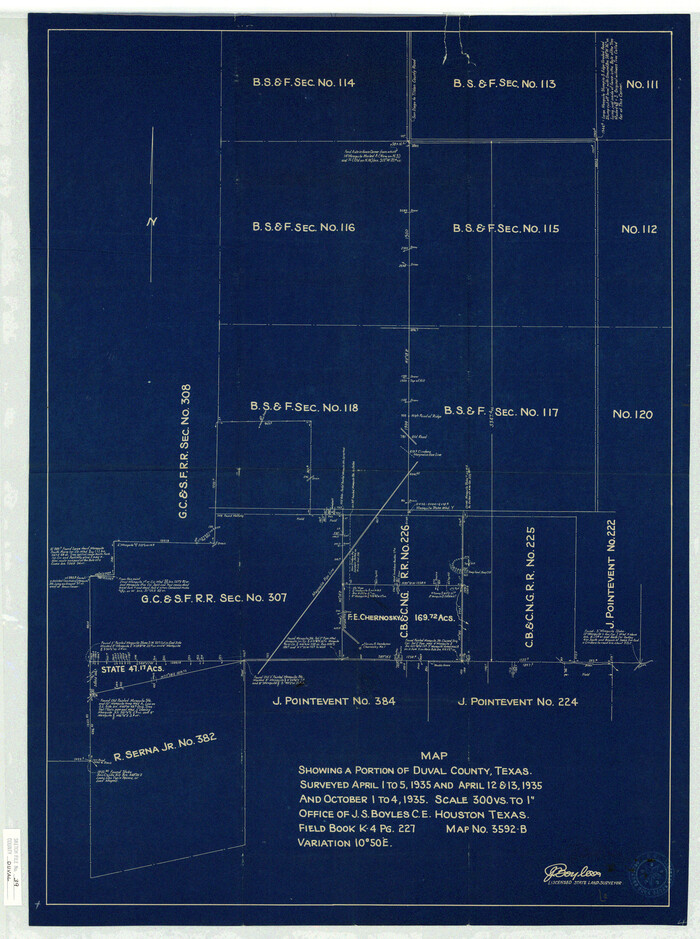
Duval County Sketch File 39

Duval County Sketch File 40b

Duval County Sketch File 41
1936
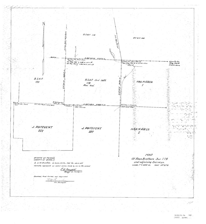
Duval County Sketch File 43
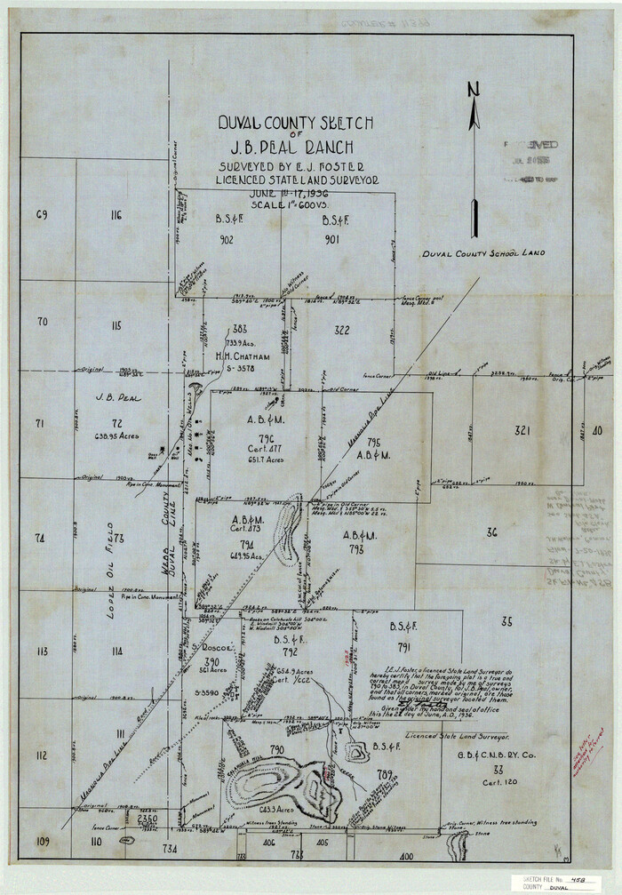
Duval County Sketch File 45b
1936
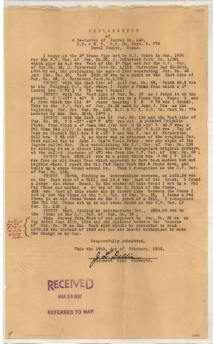
Duval County Sketch File 51
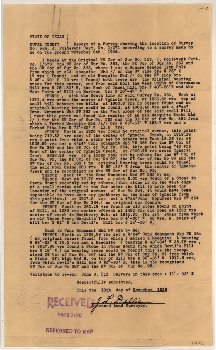
Duval County Sketch File 52
1936
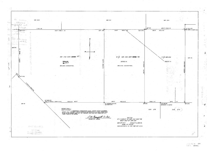
Duval County Sketch File 54
1937
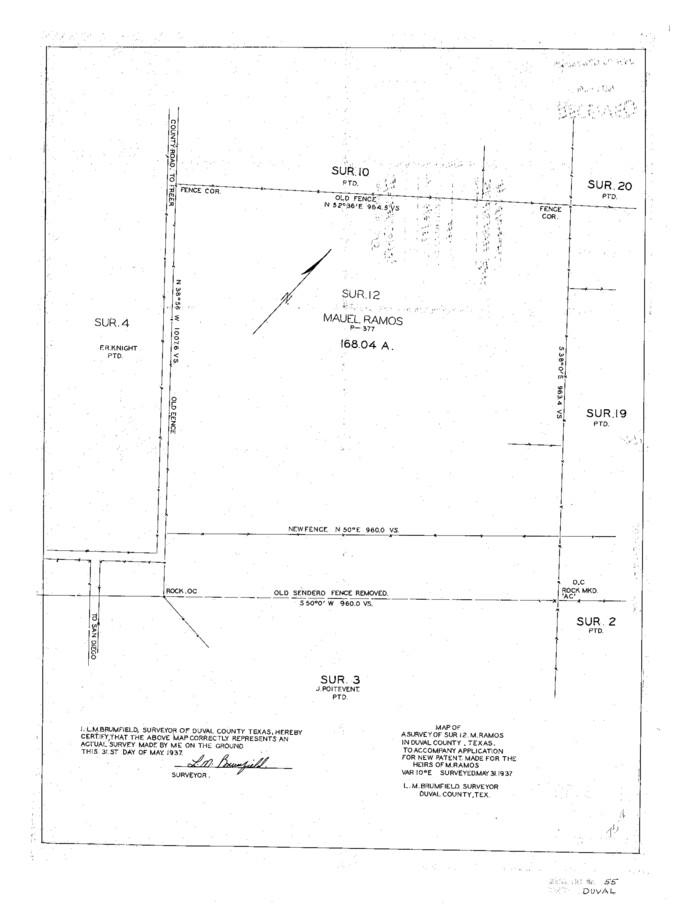
Duval County Sketch File 55
1937

Duval County Sketch File 56
1938
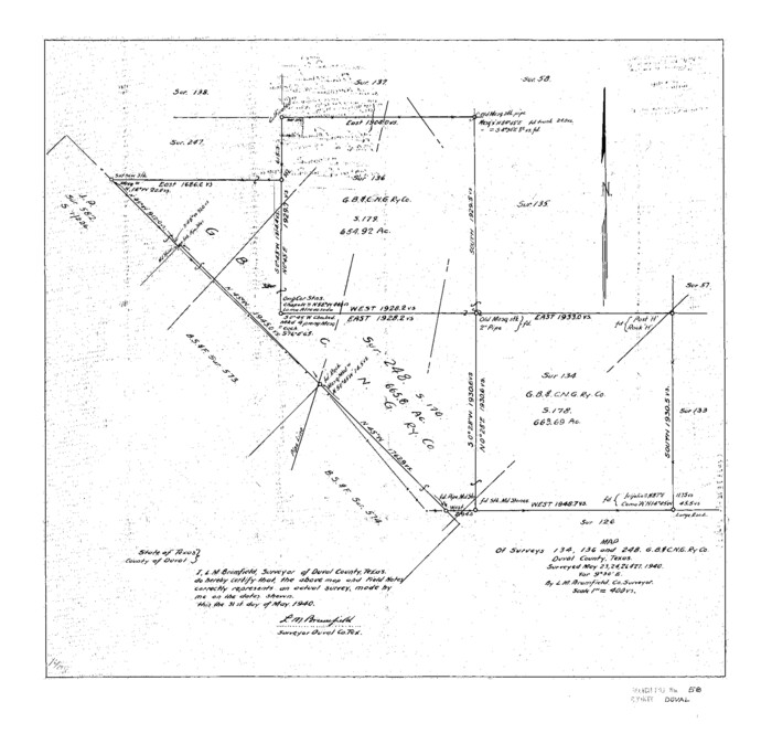
Duval County Sketch File 58
1940

Duval County Sketch File 68
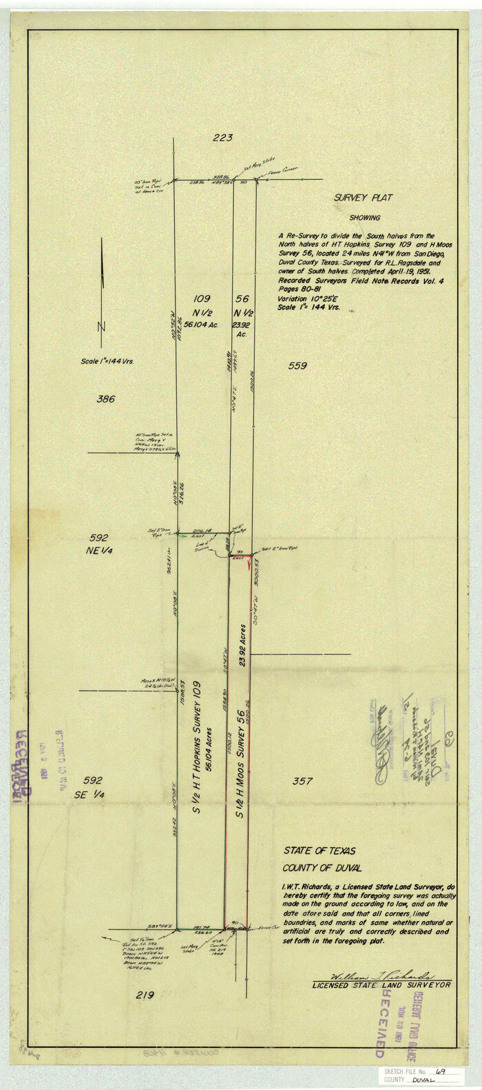
Duval County Sketch File 69
1951

Duval County Sketch File 75
1935

Duval County Sketch File 34a
1935
-
Size
45.7 x 34.2 inches
-
Map/Doc
10369
-
Creation Date
1935

Duval County Sketch File 38
-
Size
38.2 x 19.5 inches
-
Map/Doc
10372

Webb County Sketch File 2 and 2A
-
Size
39.8 x 29.6 inches
-
Map/Doc
10428

Webb County Sketch File 67
1953
-
Size
32.8 x 46.1 inches
-
Map/Doc
10430
-
Creation Date
1953

Duval County Sketch File 5
1860
-
Size
20.8 x 29.6 inches
-
Map/Doc
11381
-
Creation Date
1860

Duval County Sketch File 6a
1875
-
Size
10.9 x 22.9 inches
-
Map/Doc
11382
-
Creation Date
1875

Duval County Sketch File 17
1876
-
Size
19.0 x 17.8 inches
-
Map/Doc
11383
-
Creation Date
1876

Duval County Sketch File 20
1880
-
Size
17.9 x 14.6 inches
-
Map/Doc
11384
-
Creation Date
1880

Duval County Sketch File 21
1879
-
Size
17.0 x 28.8 inches
-
Map/Doc
11385
-
Creation Date
1879

Duval County Sketch File 22
1880
-
Size
31.9 x 23.2 inches
-
Map/Doc
11386
-
Creation Date
1880

Duval County Sketch File 28
1932
-
Size
26.2 x 24.8 inches
-
Map/Doc
11387
-
Creation Date
1932

Duval County Sketch File 30
1932
-
Size
14.7 x 23.7 inches
-
Map/Doc
11388
-
Creation Date
1932

Duval County Sketch File 31
1932
-
Size
29.3 x 17.7 inches
-
Map/Doc
11389
-
Creation Date
1932

Duval County Sketch File 32a
1932
-
Size
16.2 x 14.2 inches
-
Map/Doc
11390
-
Creation Date
1932

Duval County Sketch File 34
-
Size
28.4 x 36.9 inches
-
Map/Doc
11391

Duval County Sketch File 36b
1935
-
Size
28.4 x 23.3 inches
-
Map/Doc
11393
-
Creation Date
1935

Duval County Sketch File 39
-
Size
32.1 x 23.9 inches
-
Map/Doc
11395

Duval County Sketch File 40b
-
Size
28.0 x 31.4 inches
-
Map/Doc
11396

Duval County Sketch File 41
1936
-
Size
19.6 x 17.2 inches
-
Map/Doc
11397
-
Creation Date
1936

Duval County Sketch File 43
-
Size
22.9 x 21.1 inches
-
Map/Doc
11398

Duval County Sketch File 45b
1936
-
Size
26.0 x 18.1 inches
-
Map/Doc
11399
-
Creation Date
1936

Duval County Sketch File 51
-
Size
19.1 x 33.8 inches
-
Map/Doc
11401

Duval County Sketch File 52
1936
-
Size
21.0 x 28.6 inches
-
Map/Doc
11402
-
Creation Date
1936

Duval County Sketch File 54
1937
-
Size
19.0 x 26.4 inches
-
Map/Doc
11403
-
Creation Date
1937

Duval County Sketch File 55
1937
-
Size
22.3 x 17.1 inches
-
Map/Doc
11404
-
Creation Date
1937

Duval County Sketch File 56
1938
-
Size
24.1 x 20.1 inches
-
Map/Doc
11405
-
Creation Date
1938

Duval County Sketch File 58
1940
-
Size
18.3 x 19.0 inches
-
Map/Doc
11406
-
Creation Date
1940

Duval County Sketch File 68
-
Size
23.9 x 19.6 inches
-
Map/Doc
11407

Duval County Sketch File 69
1951
-
Size
30.2 x 13.3 inches
-
Map/Doc
11408
-
Creation Date
1951

Duval County Sketch File 75
1935
-
Size
18.0 x 28.5 inches
-
Map/Doc
11409
-
Creation Date
1935