
Land grants from the state of Tamaulipas in the trans-Nueces
2009

Duval County Sketch File 87
1991
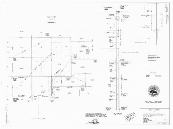
Duval County Rolled Sketch 47
1991

Duval County Working Sketch 57
1990

Duval County Working Sketch 56
1989

Duval County Working Sketch 51
1986
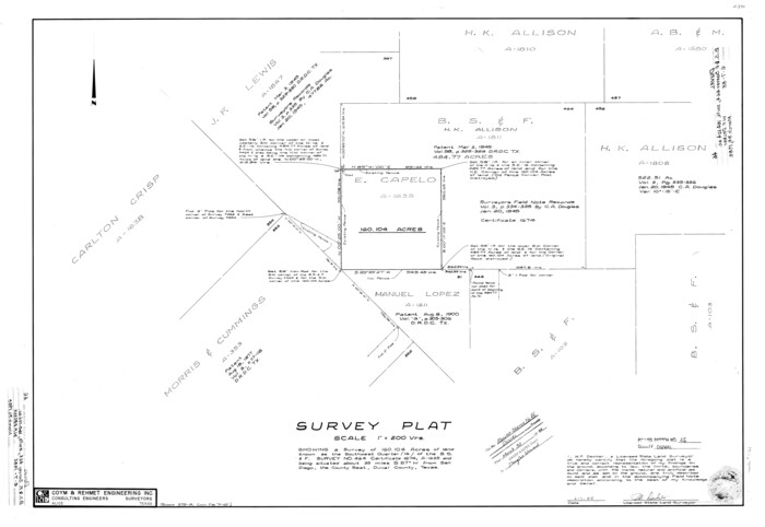
Duval County Rolled Sketch 46
1985

Duval County Sketch File 78
1984

Duval County Working Sketch 50
1984

Duval County Rolled Sketch 45
1982

Duval County Rolled Sketch 44A
1981

Duval County Working Sketch 49
1981
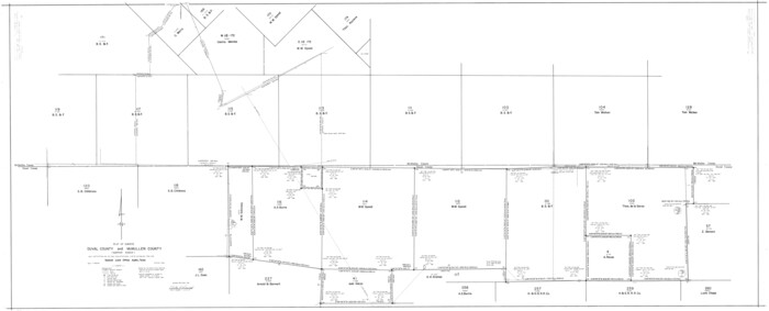
Duval County Rolled Sketch 44
1981
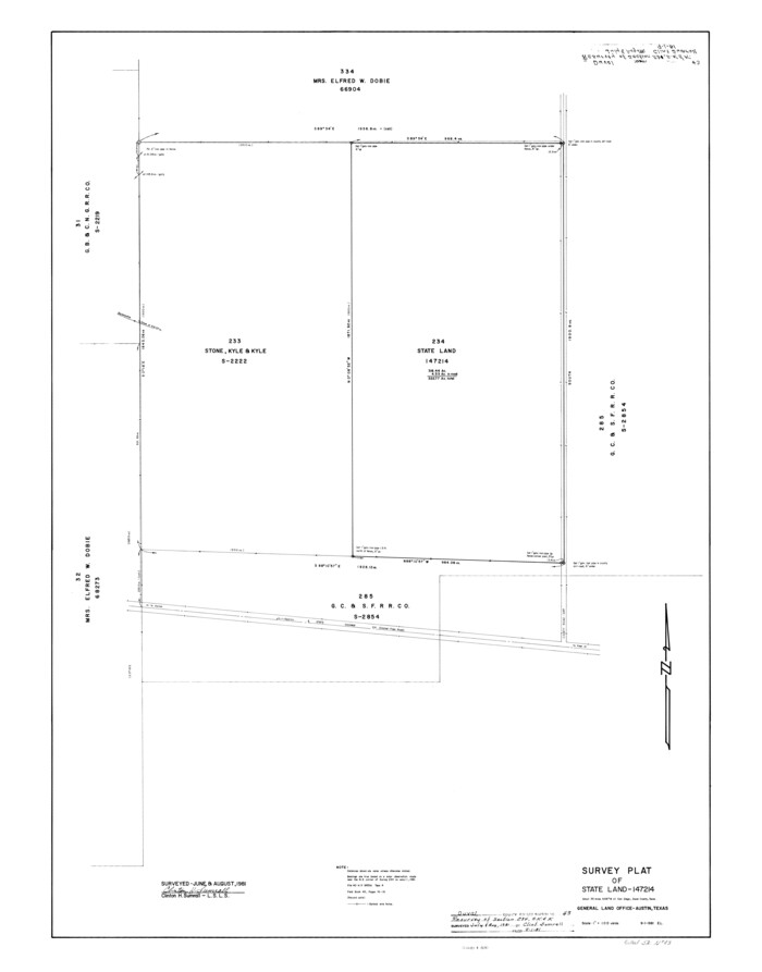
Duval County Rolled Sketch 43
1981
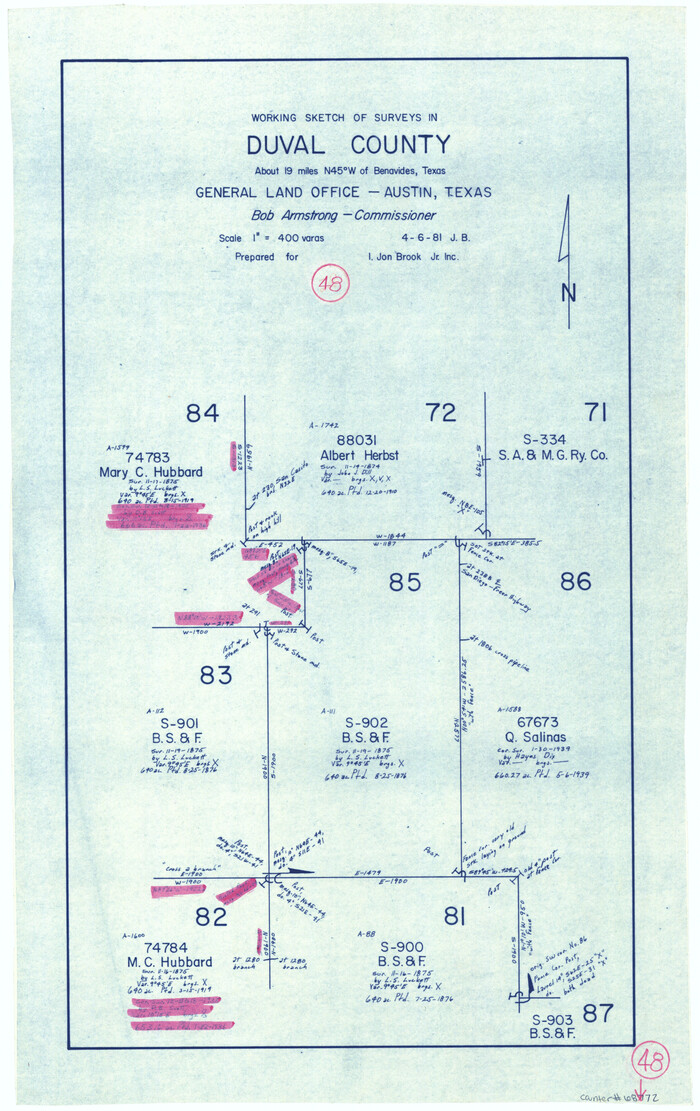
Duval County Working Sketch 48
1981
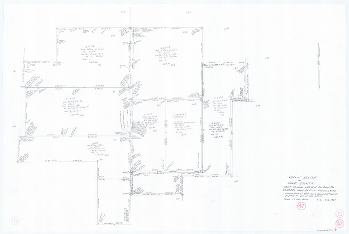
Duval County Working Sketch 47
1981

Duval County Working Sketch 46
1980
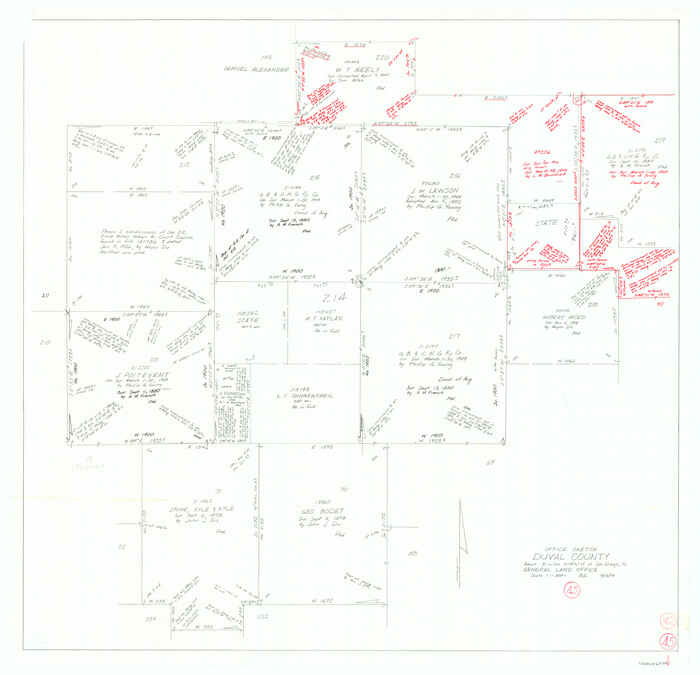
Duval County Working Sketch 45
1979

Duval County Working Sketch 44
1977
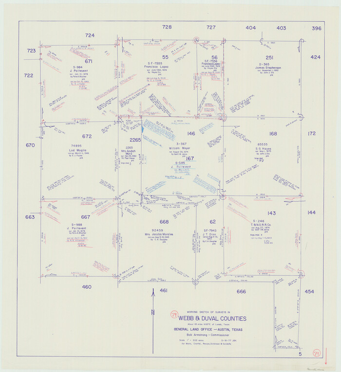
Webb County Working Sketch 79
1977
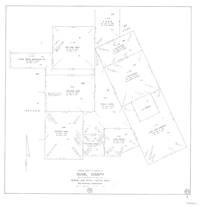
Duval County Working Sketch 43
1977

Duval County Working Sketch 42
1976

Duval County Rolled Sketch 42
1973

Duval County Sketch File 77
1967
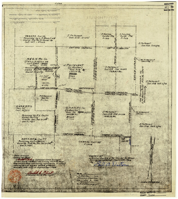
Duval County Rolled Sketch 41
1966
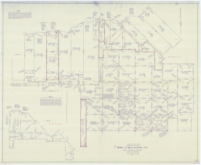
Webb County Working Sketch 65
1964
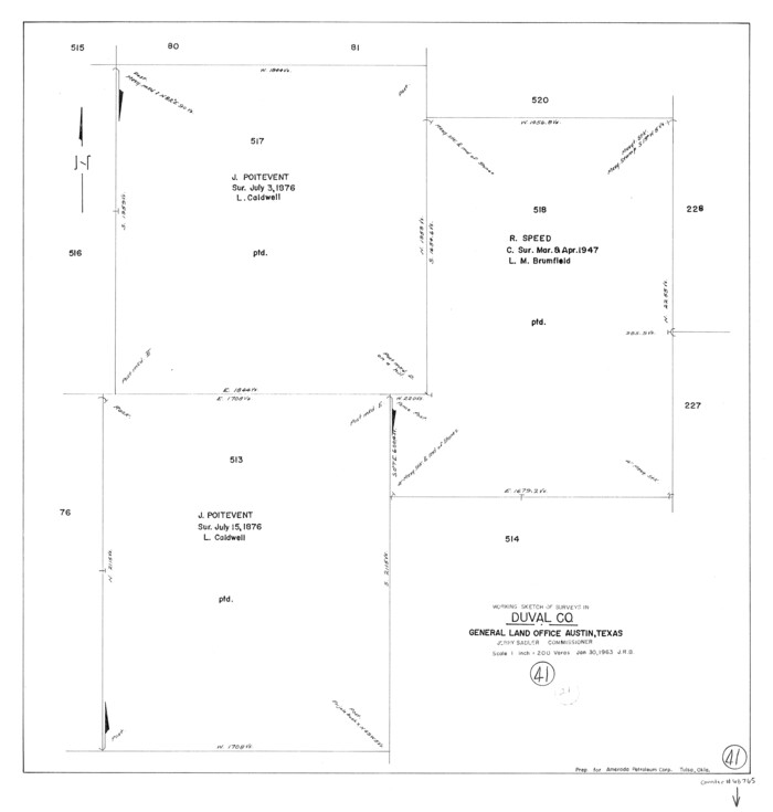
Duval County Working Sketch 41
1963
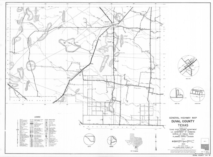
General Highway Map, Duval County, Texas
1961
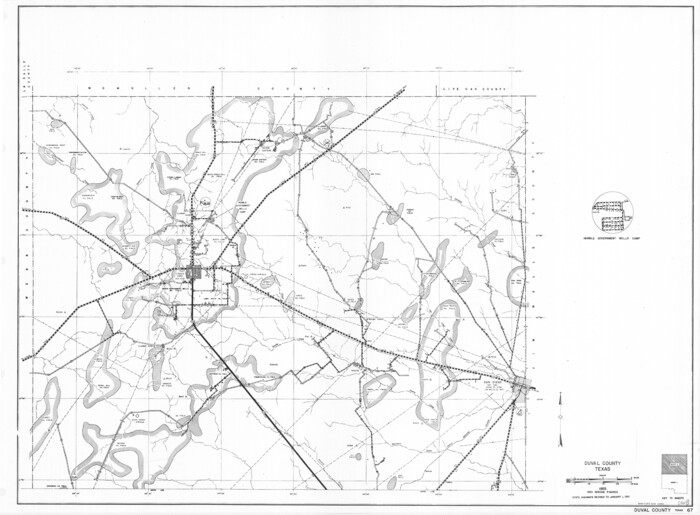
General Highway Map, Duval County, Texas
1961
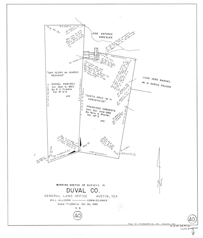
Duval County Working Sketch 40
1960

Land grants from the state of Tamaulipas in the trans-Nueces
2009
-
Size
11.0 x 8.5 inches
-
Map/Doc
94040
-
Creation Date
2009

Duval County Sketch File 87
1991
-
Size
11.0 x 8.5 inches
-
Map/Doc
21549
-
Creation Date
1991

Duval County Rolled Sketch 47
1991
-
Size
35.4 x 48.0 inches
-
Map/Doc
8824
-
Creation Date
1991

Duval County Working Sketch 57
1990
-
Size
30.3 x 25.4 inches
-
Map/Doc
68781
-
Creation Date
1990

Duval County Working Sketch 56
1989
-
Size
26.7 x 27.2 inches
-
Map/Doc
68780
-
Creation Date
1989

Duval County Working Sketch 51
1986
-
Size
27.3 x 35.3 inches
-
Map/Doc
68775
-
Creation Date
1986

Duval County Rolled Sketch 46
1985
-
Size
24.9 x 36.1 inches
-
Map/Doc
5761
-
Creation Date
1985

Duval County Sketch File 78
1984
-
Size
14.5 x 8.9 inches
-
Map/Doc
21468
-
Creation Date
1984

Duval County Working Sketch 50
1984
-
Size
38.0 x 32.0 inches
-
Map/Doc
68774
-
Creation Date
1984

Duval County Rolled Sketch 45
1982
-
Size
36.3 x 24.5 inches
-
Map/Doc
5760
-
Creation Date
1982

Duval County Rolled Sketch 44A
1981
-
Size
37.8 x 91.9 inches
-
Map/Doc
9062
-
Creation Date
1981

Duval County Working Sketch 49
1981
-
Size
37.0 x 81.3 inches
-
Map/Doc
68773
-
Creation Date
1981

Duval County Rolled Sketch 44
1981
-
Size
36.5 x 90.5 inches
-
Map/Doc
8821
-
Creation Date
1981

Duval County Rolled Sketch 43
1981
-
Size
44.3 x 34.7 inches
-
Map/Doc
8820
-
Creation Date
1981

Duval County Working Sketch 48
1981
-
Size
21.2 x 13.4 inches
-
Map/Doc
68772
-
Creation Date
1981

Duval County Working Sketch 47
1981
-
Size
20.8 x 30.9 inches
-
Map/Doc
68771
-
Creation Date
1981

Duval County Working Sketch 46
1980
-
Size
29.4 x 27.2 inches
-
Map/Doc
68770
-
Creation Date
1980

Duval County Working Sketch 45
1979
-
Size
29.7 x 30.8 inches
-
Map/Doc
68769
-
Creation Date
1979

Duval County Working Sketch 44
1977
-
Size
27.5 x 40.7 inches
-
Map/Doc
68768
-
Creation Date
1977

Webb County Working Sketch 79
1977
-
Size
31.0 x 28.3 inches
-
Map/Doc
72446
-
Creation Date
1977

Duval County Working Sketch 43
1977
-
Size
30.8 x 30.5 inches
-
Map/Doc
68767
-
Creation Date
1977

Duval County Working Sketch 42
1976
-
Size
24.9 x 31.1 inches
-
Map/Doc
68766
-
Creation Date
1976

Duval County Rolled Sketch 42
1973
-
Size
23.6 x 29.8 inches
-
Map/Doc
5759
-
Creation Date
1973

Duval County Sketch File 77
1967
-
Size
20.4 x 15.5 inches
-
Map/Doc
11411
-
Creation Date
1967

Duval County Rolled Sketch 41
1966
-
Size
23.3 x 21.1 inches
-
Map/Doc
5758
-
Creation Date
1966

Webb County Working Sketch 65
1964
-
Size
49.0 x 59.5 inches
-
Map/Doc
72431
-
Creation Date
1964

Duval County Working Sketch 41
1963
-
Size
24.1 x 22.9 inches
-
Map/Doc
68765
-
Creation Date
1963

General Highway Map, Duval County, Texas
1961
-
Size
18.1 x 24.6 inches
-
Map/Doc
79448
-
Creation Date
1961

General Highway Map, Duval County, Texas
1961
-
Size
18.1 x 24.5 inches
-
Map/Doc
79449
-
Creation Date
1961

Duval County Working Sketch 40
1960
-
Size
19.5 x 16.6 inches
-
Map/Doc
68764
-
Creation Date
1960