212 results

Atascosa County Rolled Sketch R
5103.tif
Print $20.00 - Digital $50.00

Atascosa County Rolled Sketch R

Size: 19.6 x 19.6 inches
5103
Atascosa County Sketch File 35
10866, Atascosa County Sketch File 35, General Map Collection
Print $20.00 - Digital $50.00

Atascosa County Sketch File 35

1854

Size: 14.4 x 30.0 inches
10866
Description of Best Route from San Antonio to Laredo, Texas
79302.tif
Print $20.00

Description of Best Route from San Antonio to Laredo, Texas

1865
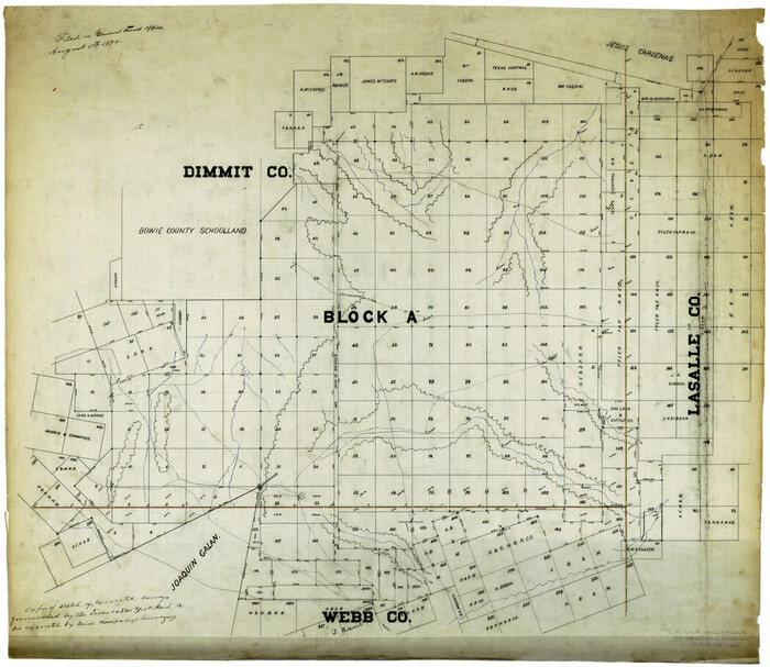
Size: 28.6 x 13.7 inches
79302
Dimmit County Rolled Sketch 2
8793.tif
Print $20.00 - Digital $50.00

Dimmit County Rolled Sketch 2

Size: 33.9 x 39.6 inches
8793
Dimmit County Sketch File 1
21050, Dimmit County Sketch File 1, General Map Collection
Print $42.00 - Digital $50.00

Dimmit County Sketch File 1

1851

Size: 8.8 x 7.5 inches
21050
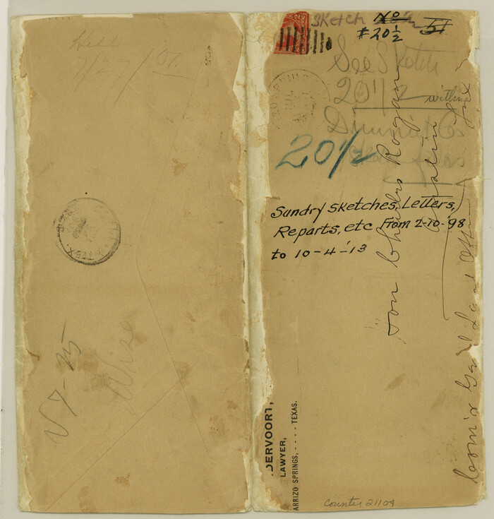
Dimmit County Sketch File 20 1/2
21104, Dimmit County Sketch File 20 1/2, General Map Collection
Print $43.00 - Digital $50.00

Dimmit County Sketch File 20 1/2

Size: 9.0 x 8.6 inches
21104
Dimmit County Sketch File 21
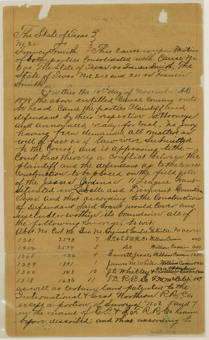
21115, Dimmit County Sketch File 21, General Map Collection
Print $16.00 - Digital $50.00

Dimmit County Sketch File 21

1898

Size: 14.4 x 8.8 inches
21115
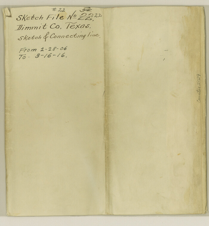
Dimmit County Sketch File 22
21129, Dimmit County Sketch File 22, General Map Collection
Print $47.00 - Digital $50.00

Dimmit County Sketch File 22

1906

Size: 9.3 x 8.6 inches
21129
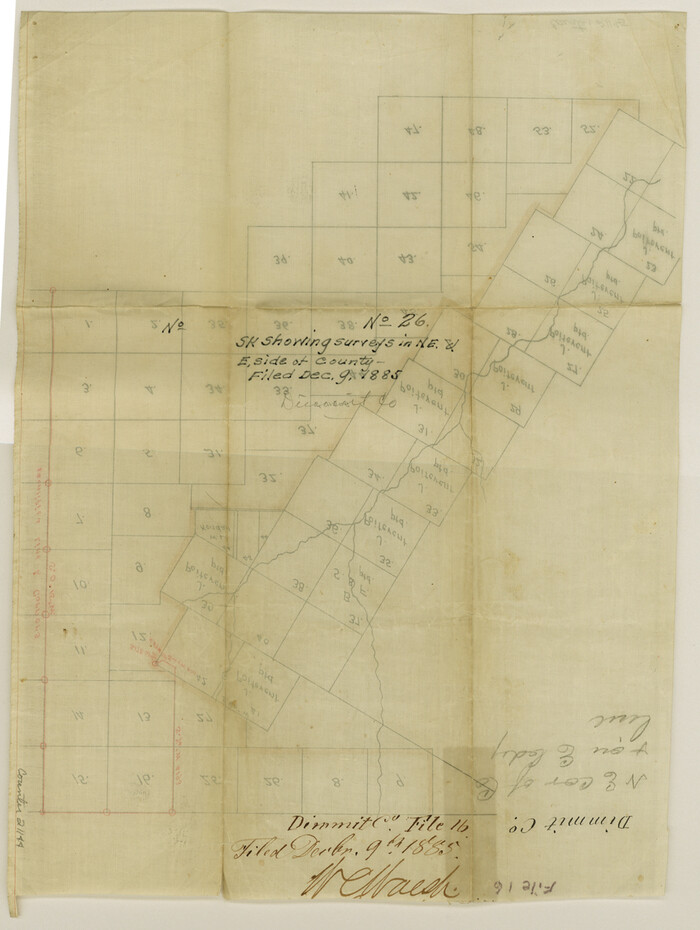
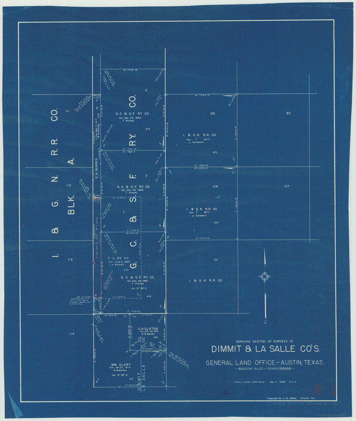
Dimmit County Sketch File 26
21144, Dimmit County Sketch File 26, General Map Collection
Print $6.00 - Digital $50.00

Dimmit County Sketch File 26

Size: 13.5 x 10.2 inches
21144
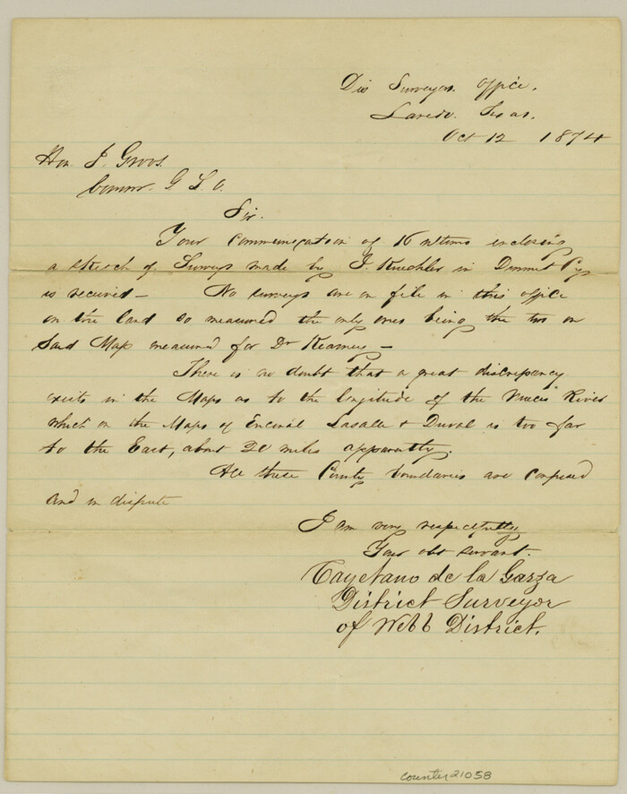
Dimmit County Sketch File 3
21058, Dimmit County Sketch File 3, General Map Collection
Print $4.00 - Digital $50.00

Dimmit County Sketch File 3

1874

Size: 10.1 x 8.0 inches
21058
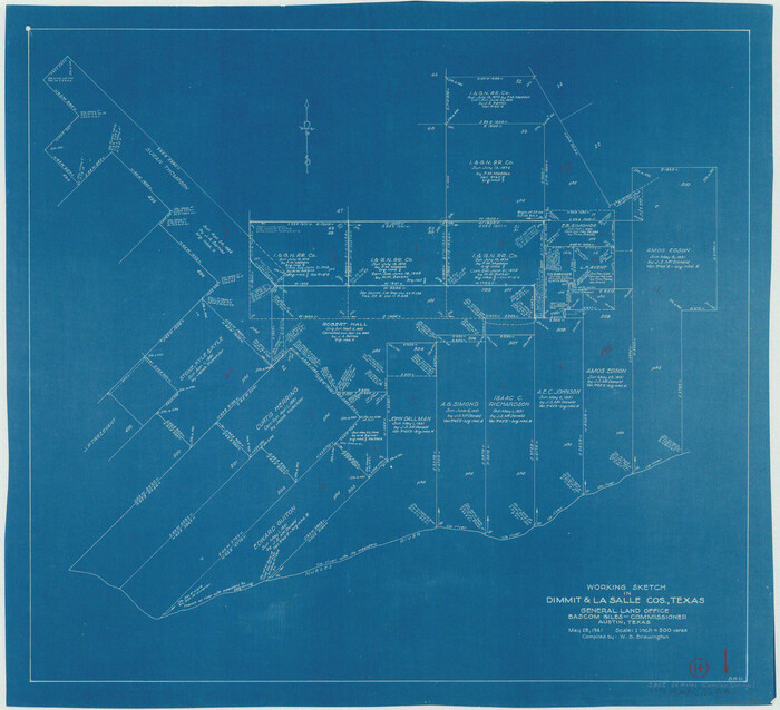
Dimmit County Sketch File 44
11354, Dimmit County Sketch File 44, General Map Collection
Print $20.00 - Digital $50.00

Dimmit County Sketch File 44

Size: 16.3 x 19.5 inches
11354
Dimmit County Sketch File 46
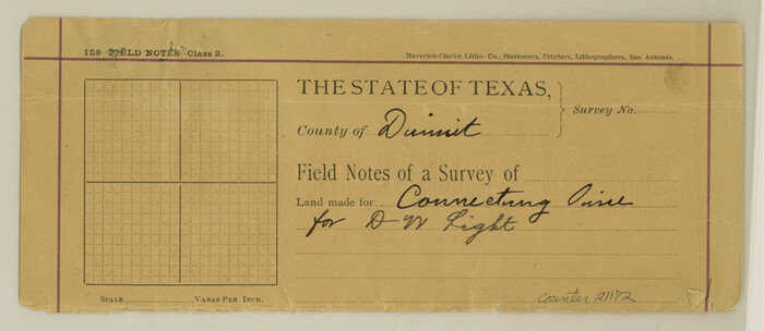
21172, Dimmit County Sketch File 46, General Map Collection
Print $32.00 - Digital $50.00

Dimmit County Sketch File 46

1905

Size: 3.9 x 9.0 inches
21172
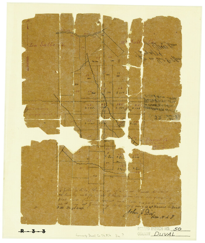
Duval County Rolled Sketch 50
5764.tif
Print $20.00 - Digital $50.00

Duval County Rolled Sketch 50

1876

Size: 14.2 x 11.8 inches
5764
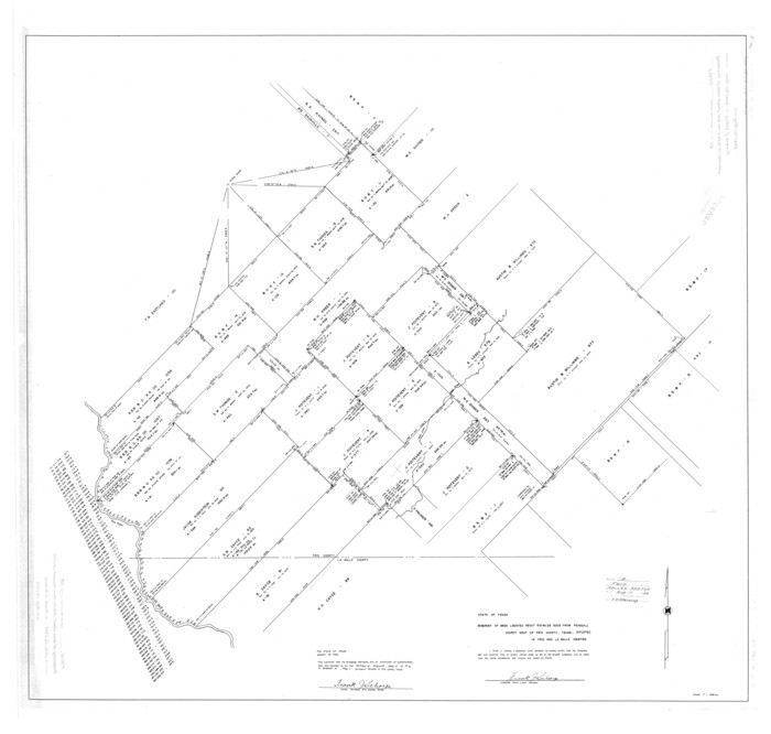
Frio County Rolled Sketch 18
8908.tif
Print $20.00 - Digital $50.00

Frio County Rolled Sketch 18

1955

Size: 41.2 x 43.4 inches
8908
Frio County Sketch File 16
23148, Frio County Sketch File 16, General Map Collection
Print $8.00 - Digital $50.00

Frio County Sketch File 16

1949

Size: 11.3 x 8.8 inches
23148
Frio County Sketch File 6
23118, Frio County Sketch File 6, General Map Collection
Print $32.00 - Digital $50.00

Frio County Sketch File 6

1883

Size: 8.7 x 5.3 inches
23118
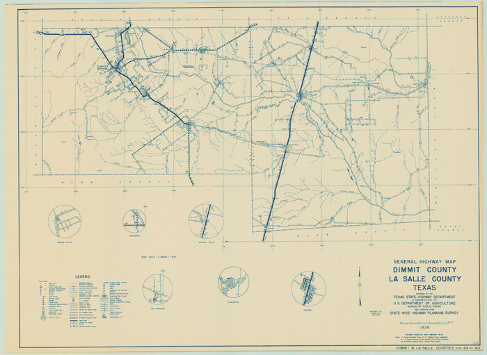
General Highway Map, Dimmit County, La Salle County, Texas
79077.tif
Print $20.00

General Highway Map, Dimmit County, La Salle County, Texas

1940

Size: 18.4 x 25.2 inches
79077
General Highway Map, La Salle County, Texas
79564.tif
Print $20.00

General Highway Map, La Salle County, Texas

1961

Size: 18.2 x 25.0 inches
79564
General Highway Map, La Salle County, Texas
79565.tif
Print $20.00

General Highway Map, La Salle County, Texas

1961

Size: 18.2 x 24.8 inches
79565
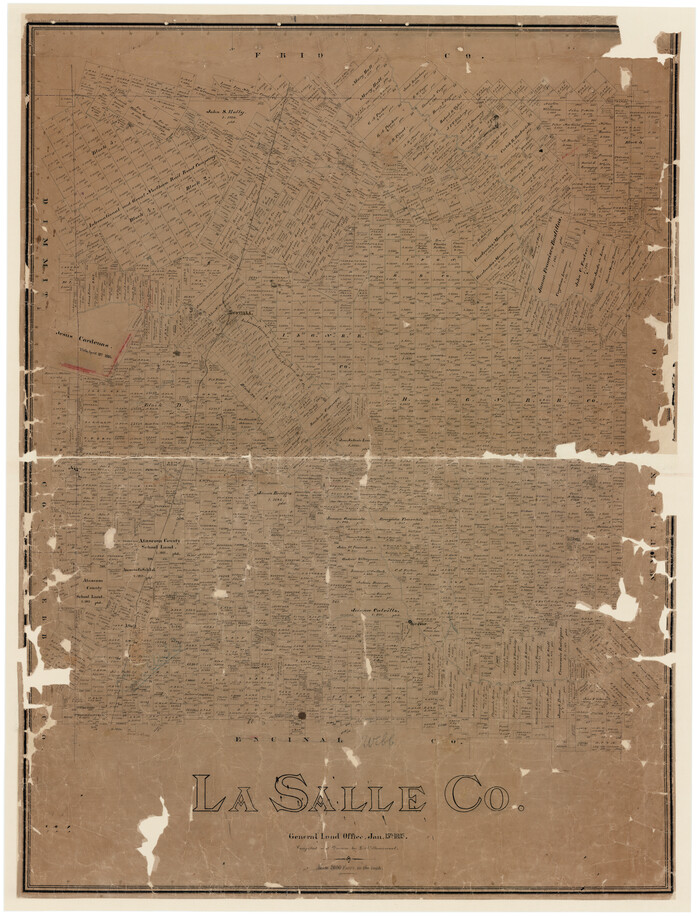
La Salle Co.
16871.tif
Print $40.00 - Digital $50.00

La Salle Co.

1895

Size: 56.2 x 43.3 inches
16871
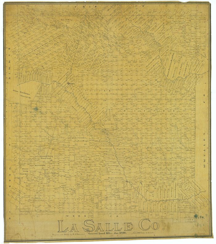
La Salle Co.
5011.tif
Print $20.00 - Digital $50.00

La Salle Co.

1895

Size: 47.3 x 41.9 inches
5011
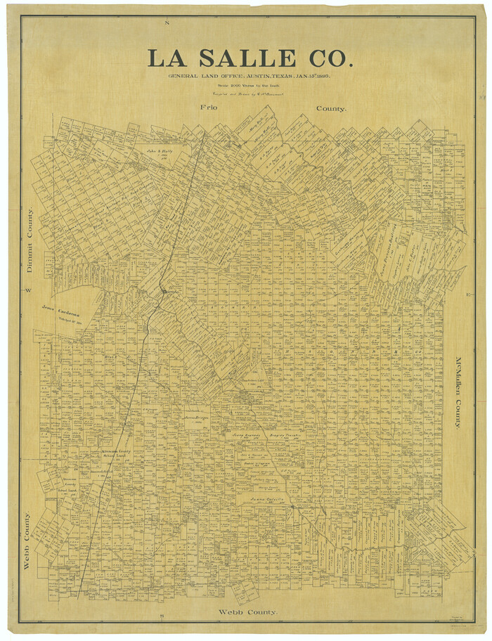
La Salle Co.
66897.tif
Print $40.00 - Digital $50.00

La Salle Co.

1895

Size: 56.4 x 43.3 inches
66897
La Salle County
3795.tif
Print $20.00 - Digital $50.00

La Salle County

1886

Size: 25.4 x 21.3 inches
3795
La Salle County
3800.tif
Print $20.00 - Digital $50.00

La Salle County

1879

Size: 27.4 x 23.6 inches
3800
La Salle County
73215-2.tif
Print $20.00 - Digital $50.00

La Salle County

1923

Size: 47.5 x 42.5 inches
73215
La Salle County
77348.tif
Print $20.00 - Digital $50.00

La Salle County

1923

Size: 39.7 x 34.5 inches
77348
La Salle County
95562-1.tif
Print $40.00 - Digital $50.00

La Salle County

1923

Size: 48.5 x 43.5 inches
95562
La Salle County Boundary File 1
56239, La Salle County Boundary File 1, General Map Collection
Print $24.00 - Digital $50.00

La Salle County Boundary File 1

Size: 8.7 x 14.2 inches
56239
La Salle County Boundary File 2
56241, La Salle County Boundary File 2, General Map Collection
Print $2.00 - Digital $50.00

La Salle County Boundary File 2

Size: 11.1 x 8.6 inches
56241
La Salle County Boundary File 57
56242, La Salle County Boundary File 57, General Map Collection
Print $26.00 - Digital $50.00

La Salle County Boundary File 57

Size: 9.2 x 4.7 inches
56242
Atascosa County Rolled Sketch R
5103, Atascosa County Rolled Sketch R, General Map Collection
Print $20.00 - Digital $50.00

Atascosa County Rolled Sketch R

  • Size

    19.6 x 19.6 inches

  • Map/Doc

    5103

Atascosa County Sketch File 35
10866, Atascosa County Sketch File 35, General Map Collection
Print $20.00 - Digital $50.00

Atascosa County Sketch File 35

1854

  • Size

    14.4 x 30.0 inches

  • Map/Doc

    10866

  • Creation Date

    1854

Description of Best Route from San Antonio to Laredo, Texas
79302, Description of Best Route from San Antonio to Laredo, Texas, Texas State Library and Archives
Print $20.00

Description of Best Route from San Antonio to Laredo, Texas

1865

  • Size

    28.6 x 13.7 inches

  • Map/Doc

    79302

  • Creation Date

    1865

Dimmit County Rolled Sketch 2
8793, Dimmit County Rolled Sketch 2, General Map Collection
Print $20.00 - Digital $50.00

Dimmit County Rolled Sketch 2

  • Size

    33.9 x 39.6 inches

  • Map/Doc

    8793

Dimmit County Sketch File 1
21050, Dimmit County Sketch File 1, General Map Collection
Print $42.00 - Digital $50.00

Dimmit County Sketch File 1

1851

  • Size

    8.8 x 7.5 inches

  • Map/Doc

    21050

  • Creation Date

    1851

Dimmit County Sketch File 20 1/2
21104, Dimmit County Sketch File 20 1/2, General Map Collection
Print $43.00 - Digital $50.00

Dimmit County Sketch File 20 1/2

  • Size

    9.0 x 8.6 inches

  • Map/Doc

    21104

Dimmit County Sketch File 21
21115, Dimmit County Sketch File 21, General Map Collection
Print $16.00 - Digital $50.00

Dimmit County Sketch File 21

1898

  • Size

    14.4 x 8.8 inches

  • Map/Doc

    21115

  • Creation Date

    1898

Dimmit County Sketch File 22
21129, Dimmit County Sketch File 22, General Map Collection
Print $47.00 - Digital $50.00

Dimmit County Sketch File 22

1906

  • Size

    9.3 x 8.6 inches

  • Map/Doc

    21129

  • Creation Date

    1906

Dimmit County Sketch File 26
21144, Dimmit County Sketch File 26, General Map Collection
Print $6.00 - Digital $50.00

Dimmit County Sketch File 26

  • Size

    13.5 x 10.2 inches

  • Map/Doc

    21144

Dimmit County Sketch File 3
21058, Dimmit County Sketch File 3, General Map Collection
Print $4.00 - Digital $50.00

Dimmit County Sketch File 3

1874

  • Size

    10.1 x 8.0 inches

  • Map/Doc

    21058

  • Creation Date

    1874

Dimmit County Sketch File 44
11354, Dimmit County Sketch File 44, General Map Collection
Print $20.00 - Digital $50.00

Dimmit County Sketch File 44

  • Size

    16.3 x 19.5 inches

  • Map/Doc

    11354

Dimmit County Sketch File 46
21172, Dimmit County Sketch File 46, General Map Collection
Print $32.00 - Digital $50.00

Dimmit County Sketch File 46

1905

  • Size

    3.9 x 9.0 inches

  • Map/Doc

    21172

  • Creation Date

    1905

Duval County Rolled Sketch 50
5764, Duval County Rolled Sketch 50, General Map Collection
Print $20.00 - Digital $50.00

Duval County Rolled Sketch 50

1876

  • Size

    14.2 x 11.8 inches

  • Map/Doc

    5764

  • Creation Date

    1876

Frio County Rolled Sketch 18
8908, Frio County Rolled Sketch 18, General Map Collection
Print $20.00 - Digital $50.00

Frio County Rolled Sketch 18

1955

  • Size

    41.2 x 43.4 inches

  • Map/Doc

    8908

  • Creation Date

    1955

Frio County Sketch File 16
23148, Frio County Sketch File 16, General Map Collection
Print $8.00 - Digital $50.00

Frio County Sketch File 16

1949

  • Size

    11.3 x 8.8 inches

  • Map/Doc

    23148

  • Creation Date

    1949

Frio County Sketch File 6
23118, Frio County Sketch File 6, General Map Collection
Print $32.00 - Digital $50.00

Frio County Sketch File 6

1883

  • Size

    8.7 x 5.3 inches

  • Map/Doc

    23118

  • Creation Date

    1883

General Highway Map, Dimmit County, La Salle County, Texas
79077, General Highway Map, Dimmit County, La Salle County, Texas, Texas State Library and Archives
Print $20.00

General Highway Map, Dimmit County, La Salle County, Texas

1940

  • Size

    18.4 x 25.2 inches

  • Map/Doc

    79077

  • Creation Date

    1940

General Highway Map, La Salle County, Texas
79564, General Highway Map, La Salle County, Texas, Texas State Library and Archives
Print $20.00

General Highway Map, La Salle County, Texas

1961

  • Size

    18.2 x 25.0 inches

  • Map/Doc

    79564

  • Creation Date

    1961

General Highway Map, La Salle County, Texas
79565, General Highway Map, La Salle County, Texas, Texas State Library and Archives
Print $20.00

General Highway Map, La Salle County, Texas

1961

  • Size

    18.2 x 24.8 inches

  • Map/Doc

    79565

  • Creation Date

    1961

La Salle Co.
16871, La Salle Co., General Map Collection
Print $40.00 - Digital $50.00

La Salle Co.

1895

  • Size

    56.2 x 43.3 inches

  • Map/Doc

    16871

  • Creation Date

    1895

La Salle Co.
5011, La Salle Co., General Map Collection
Print $20.00 - Digital $50.00

La Salle Co.

1895

  • Size

    47.3 x 41.9 inches

  • Map/Doc

    5011

  • Creation Date

    1895

La Salle Co.
66897, La Salle Co., General Map Collection
Print $40.00 - Digital $50.00

La Salle Co.

1895

  • Size

    56.4 x 43.3 inches

  • Map/Doc

    66897

  • Creation Date

    1895

La Salle County
3795, La Salle County, General Map Collection
Print $20.00 - Digital $50.00

La Salle County

1886

  • Size

    25.4 x 21.3 inches

  • Map/Doc

    3795

  • Creation Date

    1886

La Salle County
3800, La Salle County, General Map Collection
Print $20.00 - Digital $50.00

La Salle County

1879

  • Size

    27.4 x 23.6 inches

  • Map/Doc

    3800

  • Creation Date

    1879

La Salle County
73215, La Salle County, General Map Collection
Print $20.00 - Digital $50.00

La Salle County

1923

  • Size

    47.5 x 42.5 inches

  • Map/Doc

    73215

  • Creation Date

    1923

La Salle County
77348, La Salle County, General Map Collection
Print $20.00 - Digital $50.00

La Salle County

1923

  • Size

    39.7 x 34.5 inches

  • Map/Doc

    77348

  • Creation Date

    1923

La Salle County
95562, La Salle County, General Map Collection
Print $40.00 - Digital $50.00

La Salle County

1923

  • Size

    48.5 x 43.5 inches

  • Map/Doc

    95562

  • Creation Date

    1923

La Salle County Boundary File 1
56239, La Salle County Boundary File 1, General Map Collection
Print $24.00 - Digital $50.00

La Salle County Boundary File 1

  • Size

    8.7 x 14.2 inches

  • Map/Doc

    56239

La Salle County Boundary File 2
56241, La Salle County Boundary File 2, General Map Collection
Print $2.00 - Digital $50.00

La Salle County Boundary File 2

  • Size

    11.1 x 8.6 inches

  • Map/Doc

    56241

La Salle County Boundary File 57
56242, La Salle County Boundary File 57, General Map Collection
Print $26.00 - Digital $50.00

La Salle County Boundary File 57

  • Size

    9.2 x 4.7 inches

  • Map/Doc

    56242