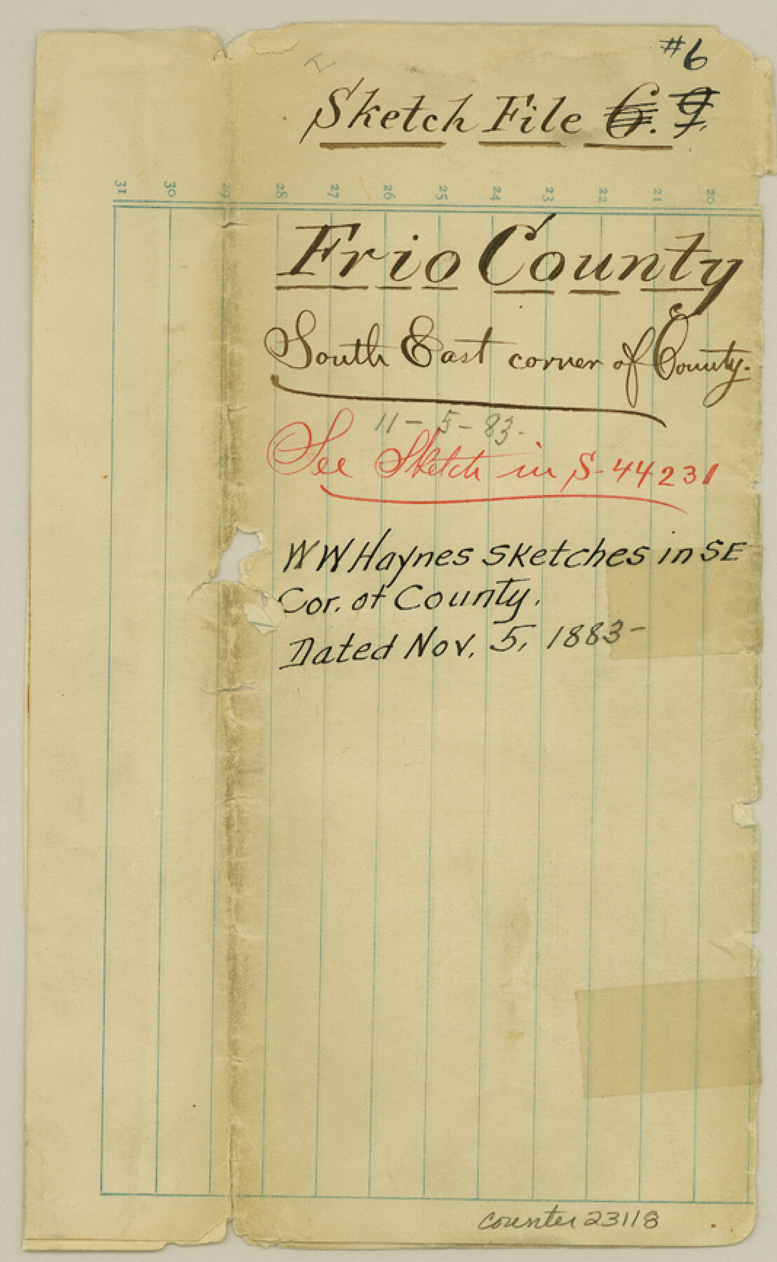
Frio County Sketch File 6
[Sketch of surveys in southeast corner of the county]
-
Map/Doc
23118
-
Collection
General Map Collection
-
Object Dates
1883/11/5 (Creation Date)
-
People and Organizations
W.W. Haynes (Surveyor/Engineer)
W.H. Fountain (Surveyor/Engineer)
-
Counties
Frio La Salle
-
Subjects
Surveying Sketch File
-
Height x Width
8.7 x 5.3 inches
22.1 x 13.5 cm
-
Medium
paper, manuscript
-
Features
Mustang Creek
Little Calf Creek
Ruiz Creek
San Miguel Creek
Live Oak Creek
Big Calf Creek
Part of: General Map Collection
Angelina County Sketch File 26

Print $40.00
- Digital $50.00
Angelina County Sketch File 26
1909
Size 18.0 x 23.0 inches
Map/Doc 10817
Jefferson County Sketch File 21a

Print $44.00
- Digital $50.00
Jefferson County Sketch File 21a
Size 12.4 x 15.1 inches
Map/Doc 28175
Bowie County Sketch File 4

Print $4.00
- Digital $50.00
Bowie County Sketch File 4
Size 10.8 x 8.4 inches
Map/Doc 14835
Fannin County Sketch File 15

Print $6.00
- Digital $50.00
Fannin County Sketch File 15
1866
Size 8.2 x 8.2 inches
Map/Doc 22466
San Augustine County Working Sketch 9

Print $20.00
- Digital $50.00
San Augustine County Working Sketch 9
1935
Size 41.2 x 39.7 inches
Map/Doc 63696
Orange County Sketch File 25

Print $20.00
- Digital $50.00
Orange County Sketch File 25
1914
Size 19.6 x 38.2 inches
Map/Doc 12122
[Surveys in the Bexar District along Hondo and Seco Creeks]
![314, [Surveys in the Bexar District along Hondo and Seco Creeks], General Map Collection](https://historictexasmaps.com/wmedia_w700/maps/314.tif.jpg)
Print $3.00
- Digital $50.00
[Surveys in the Bexar District along Hondo and Seco Creeks]
1847
Size 9.3 x 9.9 inches
Map/Doc 314
Map of the First Division of the Chicago, Texas & Mexican-Central Railway

Print $40.00
- Digital $50.00
Map of the First Division of the Chicago, Texas & Mexican-Central Railway
Size 26.1 x 96.3 inches
Map/Doc 64467
Flight Mission No. DQN-4K, Frame 2, Calhoun County

Print $20.00
- Digital $50.00
Flight Mission No. DQN-4K, Frame 2, Calhoun County
1953
Size 18.6 x 22.2 inches
Map/Doc 84367
Map of Wheeler County

Print $20.00
- Digital $50.00
Map of Wheeler County
1899
Size 40.1 x 32.7 inches
Map/Doc 63120
United States Atlantic and Gulf Coasts Including Puerto Rico and the Virgin Islands

Print $40.00
- Digital $50.00
United States Atlantic and Gulf Coasts Including Puerto Rico and the Virgin Islands
1973
Size 21.9 x 60.6 inches
Map/Doc 76125
Terrell County Rolled Sketch 53

Print $20.00
- Digital $50.00
Terrell County Rolled Sketch 53
Size 33.1 x 24.2 inches
Map/Doc 7971
You may also like
Sterling County

Print $20.00
- Digital $50.00
Sterling County
1891
Size 23.2 x 17.7 inches
Map/Doc 4056
Houston County Sketch File 33

Print $20.00
- Digital $50.00
Houston County Sketch File 33
1894
Size 16.9 x 18.4 inches
Map/Doc 11790
Coleman County Sketch File 37

Print $4.00
- Digital $50.00
Coleman County Sketch File 37
1891
Size 11.1 x 8.4 inches
Map/Doc 18742
Sectional Map No. 2 of the lands and the line of the Texas & Pacific Ry. Co. in Howard, Martin, Andrews, Midland and Tom Green Counties

Print $20.00
- Digital $50.00
Sectional Map No. 2 of the lands and the line of the Texas & Pacific Ry. Co. in Howard, Martin, Andrews, Midland and Tom Green Counties
1885
Size 19.1 x 23.2 inches
Map/Doc 4860
Wichita County Sketch File 34

Print $6.00
- Digital $50.00
Wichita County Sketch File 34
1949
Size 14.4 x 8.8 inches
Map/Doc 40154
Trinity River, Club House Sheet

Print $20.00
- Digital $50.00
Trinity River, Club House Sheet
1925
Size 27.7 x 23.7 inches
Map/Doc 69688
Railroad Track Map, H&TCRRCo., Falls County, Texas

Print $4.00
- Digital $50.00
Railroad Track Map, H&TCRRCo., Falls County, Texas
1918
Size 11.6 x 18.6 inches
Map/Doc 62852
Knox County Sketch File 17

Print $20.00
- Digital $50.00
Knox County Sketch File 17
1902
Size 18.4 x 25.0 inches
Map/Doc 11960
DeWitt County Sketch File 6

Print $24.00
- Digital $50.00
DeWitt County Sketch File 6
1872
Size 9.8 x 8.5 inches
Map/Doc 20805
Flight Mission No. DCL-6C, Frame 22, Kenedy County

Print $20.00
- Digital $50.00
Flight Mission No. DCL-6C, Frame 22, Kenedy County
1943
Size 18.6 x 22.3 inches
Map/Doc 85879
[East line of North Part of Childress County along border with Oklahoma]
![92084, [East line of North Part of Childress County along border with Oklahoma], Twichell Survey Records](https://historictexasmaps.com/wmedia_w700/maps/92084-1.tif.jpg)
Print $20.00
- Digital $50.00
[East line of North Part of Childress County along border with Oklahoma]
Size 20.4 x 6.1 inches
Map/Doc 92084
Liberty County Working Sketch 34

Print $20.00
- Digital $50.00
Liberty County Working Sketch 34
1946
Size 26.7 x 21.2 inches
Map/Doc 70493