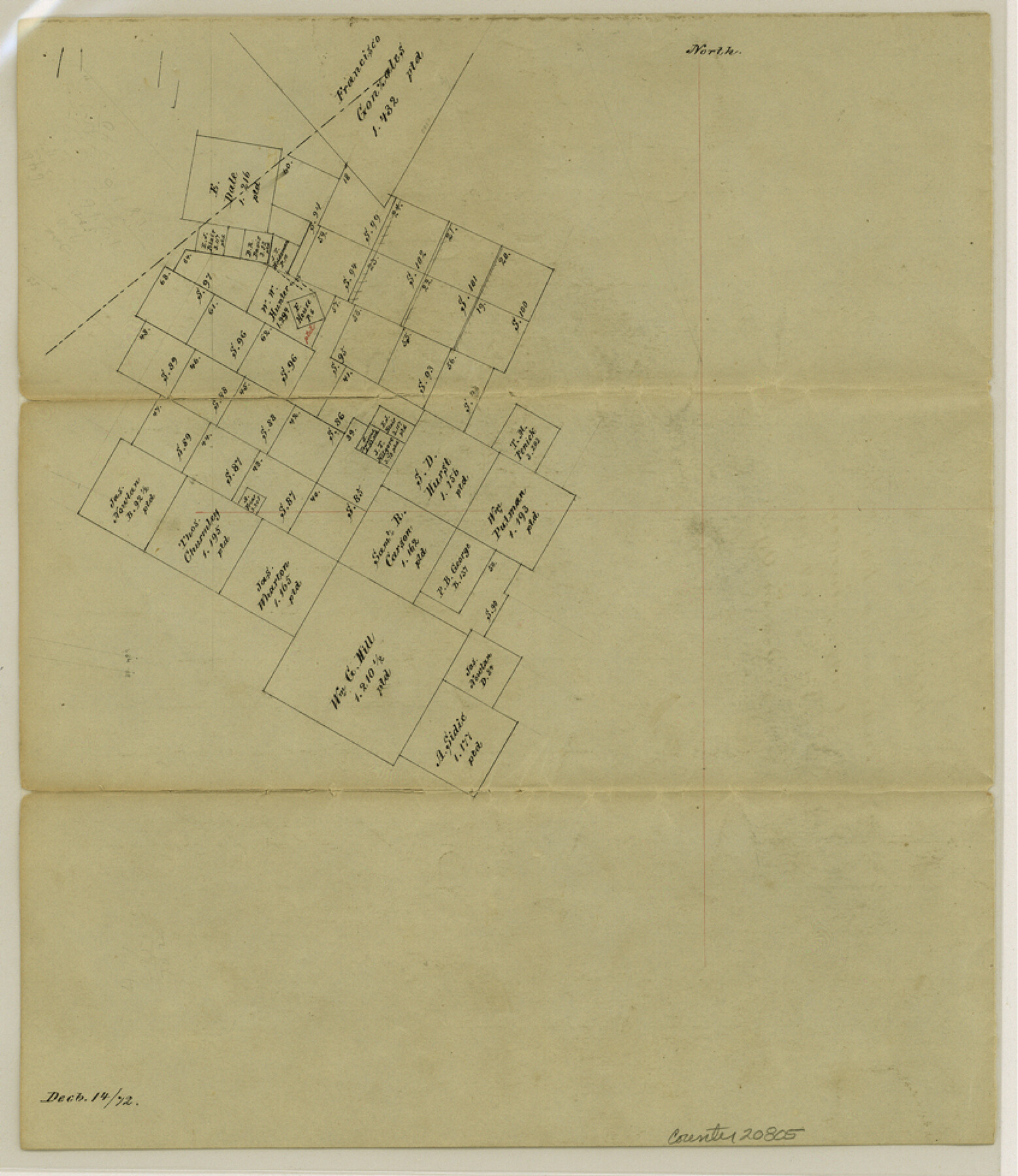
DeWitt County Sketch File 6
[Five sketches of Indianola RR. Co. surveys]
-
Map/Doc
20805
-
Collection
General Map Collection
-
Object Dates
1872/9/7 (Creation Date)
-
People and Organizations
C.G. Hartmann (Surveyor/Engineer)
-
Counties
DeWitt
-
Subjects
Surveying Sketch File
-
Height x Width
9.8 x 8.5 inches
24.9 x 21.6 cm
-
Medium
paper, manuscript
-
Scale
1" = 2000 varas
-
Features
Main Collette [Creek]
Yorktown
Cottonwood Creek
Smith's Creek
Part of: General Map Collection
Uvalde County Working Sketch 39

Print $20.00
- Digital $50.00
Uvalde County Working Sketch 39
1975
Size 28.0 x 45.3 inches
Map/Doc 72109
Motley County

Print $20.00
- Digital $50.00
Motley County
1966
Size 44.8 x 35.8 inches
Map/Doc 95597
La Salle County Working Sketch 25

Print $20.00
- Digital $50.00
La Salle County Working Sketch 25
1947
Size 32.8 x 41.0 inches
Map/Doc 70326
Sutton County Sketch File 42

Print $6.00
- Digital $50.00
Sutton County Sketch File 42
1940
Size 11.2 x 8.8 inches
Map/Doc 37509
Montague County Sketch File 11

Print $4.00
- Digital $50.00
Montague County Sketch File 11
1873
Size 12.2 x 8.4 inches
Map/Doc 31734
Fort Bend County Rolled Sketch 16A

Print $60.00
- Digital $50.00
Fort Bend County Rolled Sketch 16A
1890
Size 10.6 x 16.6 inches
Map/Doc 44755
Zavala County Working Sketch 3

Print $20.00
- Digital $50.00
Zavala County Working Sketch 3
1912
Size 37.1 x 46.9 inches
Map/Doc 62078
Haskell County Working Sketch 15

Print $40.00
- Digital $50.00
Haskell County Working Sketch 15
1983
Size 48.0 x 57.5 inches
Map/Doc 66073
Map of Travis County

Print $40.00
- Digital $50.00
Map of Travis County
1894
Size 49.8 x 58.8 inches
Map/Doc 16904

Flight Mission No. DAG-17K, Frame 61, Matagorda County

Print $20.00
- Digital $50.00
Flight Mission No. DAG-17K, Frame 61, Matagorda County
1952
Size 16.4 x 16.4 inches
Map/Doc 86323
Erath County Rolled Sketch 7

Print $20.00
- Digital $50.00
Erath County Rolled Sketch 7
Size 19.2 x 24.4 inches
Map/Doc 88881
You may also like
Edwards County Boundary File 29

Print $22.00
- Digital $50.00
Edwards County Boundary File 29
Size 15.4 x 31.0 inches
Map/Doc 65502
Lipscomb County Boundary File 3

Print $4.00
- Digital $50.00
Lipscomb County Boundary File 3
Size 8.2 x 6.5 inches
Map/Doc 56318
Flight Mission No. CRK-7P, Frame 79, Refugio County

Print $20.00
- Digital $50.00
Flight Mission No. CRK-7P, Frame 79, Refugio County
1956
Size 18.2 x 22.1 inches
Map/Doc 86950
Galveston County Working Sketch 16

Print $20.00
- Digital $50.00
Galveston County Working Sketch 16
1980
Size 30.5 x 36.9 inches
Map/Doc 69353
Maps of Gulf Intracoastal Waterway, Texas - Sabine River to the Rio Grande and connecting waterways including ship channels

Print $20.00
- Digital $50.00
Maps of Gulf Intracoastal Waterway, Texas - Sabine River to the Rio Grande and connecting waterways including ship channels
1966
Size 14.6 x 22.2 inches
Map/Doc 61939
Winkler County Working Sketch 16

Print $20.00
- Digital $50.00
Winkler County Working Sketch 16
1964
Size 27.7 x 35.8 inches
Map/Doc 72610
Tom Green County Sketch File 2

Print $4.00
- Digital $50.00
Tom Green County Sketch File 2
Size 9.6 x 7.6 inches
Map/Doc 38161
General Highway Map, Hardeman County, Texas

Print $20.00
General Highway Map, Hardeman County, Texas
1961
Size 24.6 x 18.1 inches
Map/Doc 79498
Houston & Texas Central Railway Through Bastrop County

Print $20.00
- Digital $50.00
Houston & Texas Central Railway Through Bastrop County
1916
Size 21.3 x 41.6 inches
Map/Doc 64419
Stonewall County Boundary File 4

Print $32.00
- Digital $50.00
Stonewall County Boundary File 4
Size 14.4 x 9.1 inches
Map/Doc 58977
Lynn County Rolled Sketch 11

Print $20.00
- Digital $50.00
Lynn County Rolled Sketch 11
1940
Size 14.2 x 16.4 inches
Map/Doc 6647
Armstrong County Sketch File A

Print $46.00
- Digital $50.00
Armstrong County Sketch File A
1902
Size 8.6 x 20.0 inches
Map/Doc 13665