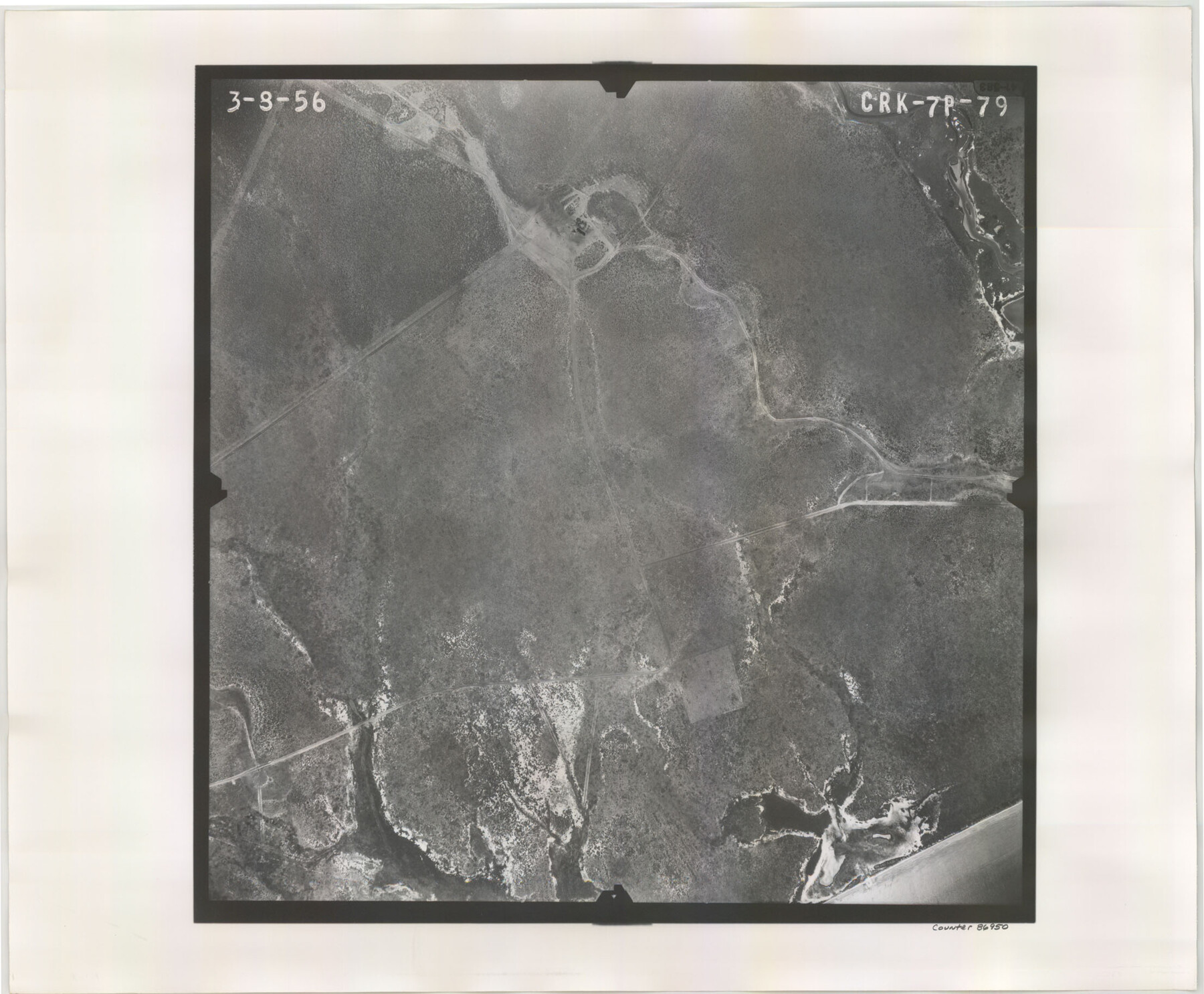
Flight Mission No. CRK-7P, Frame 79, Refugio County
CRK-7P-79
-
Map/Doc
86950
-
Collection
General Map Collection
-
Object Dates
1956/3/8 (Creation Date)
-
People and Organizations
U. S. Department of Agriculture (Publisher)
-
Counties
Refugio
-
Subjects
Aerial Photograph
-
Height x Width
18.2 x 22.1 inches
46.2 x 56.1 cm
-
Comments
Flown by V. L. Beavers and Associates of San Antonio, Texas.
Part of: General Map Collection
Hardeman County Sketch File 14

Print $8.00
- Digital $50.00
Hardeman County Sketch File 14
1884
Size 12.7 x 8.1 inches
Map/Doc 25022
Flight Mission No. CZW-1R, Frame 114, Hardeman County

Print $20.00
- Digital $50.00
Flight Mission No. CZW-1R, Frame 114, Hardeman County
1956
Size 18.9 x 22.6 inches
Map/Doc 85234
Flight Mission No. BRE-1P, Frame 145, Nueces County

Print $20.00
- Digital $50.00
Flight Mission No. BRE-1P, Frame 145, Nueces County
1956
Size 18.4 x 22.1 inches
Map/Doc 86705
Flight Mission No. BRA-6T, Frame 117, Jefferson County

Print $20.00
- Digital $50.00
Flight Mission No. BRA-6T, Frame 117, Jefferson County
1957
Size 18.6 x 18.4 inches
Map/Doc 85786
[Galveston, Harrisburg & San Antonio Railway]
![64407, [Galveston, Harrisburg & San Antonio Railway], General Map Collection](https://historictexasmaps.com/wmedia_w700/maps/64407.tif.jpg)
Print $20.00
- Digital $50.00
[Galveston, Harrisburg & San Antonio Railway]
1892
Size 13.9 x 34.0 inches
Map/Doc 64407
Duval County Sketch File 32a

Print $20.00
- Digital $50.00
Duval County Sketch File 32a
1932
Size 16.2 x 14.2 inches
Map/Doc 11390
Survey of Mustang Is., Joseph's and a part of Matagorda Island.

Print $20.00
- Digital $50.00
Survey of Mustang Is., Joseph's and a part of Matagorda Island.
1834
Size 19.5 x 20.2 inches
Map/Doc 3183
Maverick County Working Sketch 9

Print $20.00
- Digital $50.00
Maverick County Working Sketch 9
1959
Size 43.8 x 42.2 inches
Map/Doc 70901
Flight Mission No. DQN-1K, Frame 107, Calhoun County

Print $20.00
- Digital $50.00
Flight Mission No. DQN-1K, Frame 107, Calhoun County
1953
Size 18.4 x 22.3 inches
Map/Doc 84174
[Map of Line Dividing Fannin and Nacogdoches Districts]
![3134, [Map of Line Dividing Fannin and Nacogdoches Districts], General Map Collection](https://historictexasmaps.com/wmedia_w700/maps/3134.tif.jpg)
Print $20.00
- Digital $50.00
[Map of Line Dividing Fannin and Nacogdoches Districts]
1850
Size 35.6 x 40.8 inches
Map/Doc 3134
DeWitt County Sketch File 14

Print $8.00
- Digital $50.00
DeWitt County Sketch File 14
1873
Size 12.8 x 8.2 inches
Map/Doc 20827
Crane County Sketch File 2

Print $6.00
- Digital $50.00
Crane County Sketch File 2
1873
Size 17.5 x 11.2 inches
Map/Doc 19557
You may also like
The Republic County of Bexar. November 28, 1839

Print $20.00
The Republic County of Bexar. November 28, 1839
2020
Size 14.8 x 21.1 inches
Map/Doc 96097
Jack County Sketch File 26

Print $4.00
- Digital $50.00
Jack County Sketch File 26
1891
Size 8.7 x 9.3 inches
Map/Doc 27563
Flight Mission No. BRA-7M, Frame 43, Jefferson County

Print $20.00
- Digital $50.00
Flight Mission No. BRA-7M, Frame 43, Jefferson County
1953
Size 18.6 x 22.4 inches
Map/Doc 85494
Flight Mission No. DAG-21K, Frame 101, Matagorda County

Print $20.00
- Digital $50.00
Flight Mission No. DAG-21K, Frame 101, Matagorda County
1952
Size 18.6 x 22.4 inches
Map/Doc 86430
Bowie County Sketch File 6d

Print $4.00
- Digital $50.00
Bowie County Sketch File 6d
1927
Size 11.4 x 9.0 inches
Map/Doc 14850
Jefferson County Sketch file 30

Print $22.00
- Digital $50.00
Jefferson County Sketch file 30
1917
Size 11.2 x 8.8 inches
Map/Doc 28194
Calhoun County Rolled Sketch 8

Print $40.00
- Digital $50.00
Calhoun County Rolled Sketch 8
1921
Size 25.6 x 53.4 inches
Map/Doc 5364
Wood County Working Sketch 7

Print $20.00
- Digital $50.00
Wood County Working Sketch 7
1942
Size 41.0 x 37.7 inches
Map/Doc 62007
Chambers County Rolled Sketch 8

Print $20.00
- Digital $50.00
Chambers County Rolled Sketch 8
Size 39.8 x 30.5 inches
Map/Doc 8612
Flight Mission No. CRC-3R, Frame 40, Chambers County

Print $20.00
- Digital $50.00
Flight Mission No. CRC-3R, Frame 40, Chambers County
1956
Size 18.6 x 22.3 inches
Map/Doc 84813
[H. & T. C. RR. Company, Block 47 and vicinity]
![91156, [H. & T. C. RR. Company, Block 47 and vicinity], Twichell Survey Records](https://historictexasmaps.com/wmedia_w700/maps/91156-1.tif.jpg)
Print $20.00
- Digital $50.00
[H. & T. C. RR. Company, Block 47 and vicinity]
Size 18.2 x 19.3 inches
Map/Doc 91156
Map of the survey of the 100th Meridian of longitude west of Greenwich beginning at Red River and extending to the parallel 36 1/2 degrees north latitude

Print $40.00
- Digital $50.00
Map of the survey of the 100th Meridian of longitude west of Greenwich beginning at Red River and extending to the parallel 36 1/2 degrees north latitude
1862
Size 111.9 x 10.4 inches
Map/Doc 3094