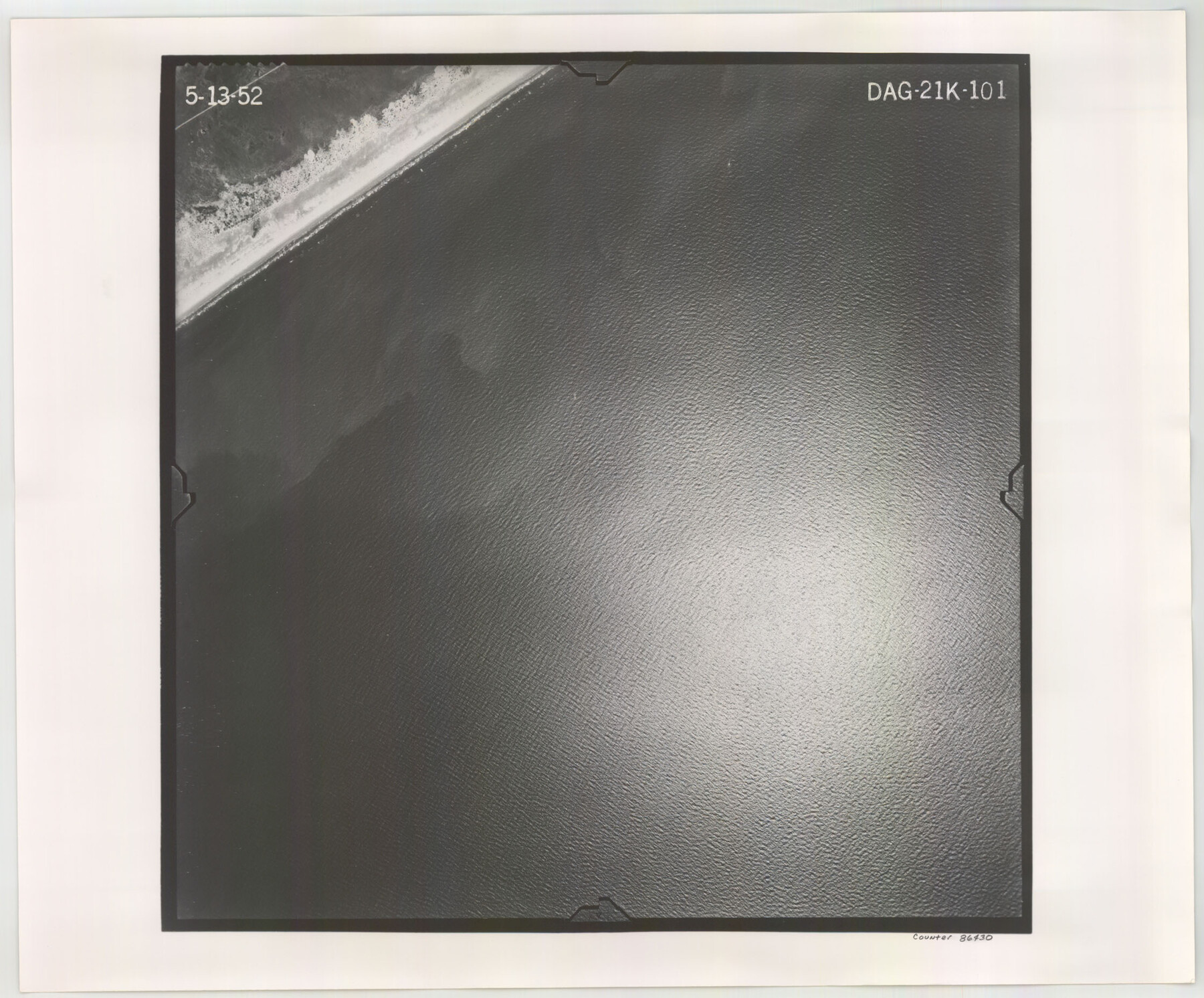
Flight Mission No. DAG-21K, Frame 101, Matagorda County
DAG-21K-101
-
Map/Doc
86430
-
Collection
General Map Collection
-
Object Dates
1952/5/13 (Creation Date)
-
People and Organizations
U. S. Department of Agriculture (Publisher)
-
Counties
Matagorda
-
Subjects
Aerial Photograph
-
Height x Width
18.6 x 22.4 inches
47.2 x 56.9 cm
-
Comments
Flown by Aero Exploration Company of Tulsa, Oklahoma.
Part of: General Map Collection
Medina County Rolled Sketch 4

Print $20.00
- Digital $50.00
Medina County Rolled Sketch 4
1943
Size 20.2 x 26.4 inches
Map/Doc 6740
Flight Mission No. CGI-3N, Frame 186, Cameron County

Print $20.00
- Digital $50.00
Flight Mission No. CGI-3N, Frame 186, Cameron County
1954
Size 18.6 x 22.3 inches
Map/Doc 84650
Ector County Working Sketch 27

Print $20.00
- Digital $50.00
Ector County Working Sketch 27
Size 28.0 x 32.7 inches
Map/Doc 68870
Runnels County Sketch File 13

Print $2.00
Runnels County Sketch File 13
Size 8.0 x 6.2 inches
Map/Doc 35456
Flight Mission No. BQY-4M, Frame 63, Harris County

Print $20.00
- Digital $50.00
Flight Mission No. BQY-4M, Frame 63, Harris County
1953
Size 18.7 x 22.4 inches
Map/Doc 85272
Gregg County Sketch File 1

Print $4.00
- Digital $50.00
Gregg County Sketch File 1
1872
Size 8.0 x 10.1 inches
Map/Doc 24551
Somervell County Rolled Sketch B

Print $20.00
- Digital $50.00
Somervell County Rolled Sketch B
Size 18.8 x 19.9 inches
Map/Doc 7792
Morris County Working Sketch 4

Print $20.00
- Digital $50.00
Morris County Working Sketch 4
1959
Size 35.2 x 23.8 inches
Map/Doc 71203
Cameron County State Real Property Sketch 2

Print $20.00
- Digital $50.00
Cameron County State Real Property Sketch 2
1996
Size 25.4 x 39.1 inches
Map/Doc 80132
Jasper County Boundary File 3

Print $54.00
- Digital $50.00
Jasper County Boundary File 3
Size 9.3 x 31.0 inches
Map/Doc 55480
[Map of the Fort Worth & Denver City Railway]
![64432, [Map of the Fort Worth & Denver City Railway], General Map Collection](https://historictexasmaps.com/wmedia_w700/maps/64432.tif.jpg)
Print $40.00
- Digital $50.00
[Map of the Fort Worth & Denver City Railway]
1887
Size 21.3 x 122.7 inches
Map/Doc 64432
[Map of the River Sabine from its mouth on the Gulf of Mexico in the sea to Logan's Ferry in Latitude 31° 58' 24" North]
![94006, [Map of the River Sabine from its mouth on the Gulf of Mexico in the sea to Logan's Ferry in Latitude 31° 58' 24" North], General Map Collection](https://historictexasmaps.com/wmedia_w700/maps/94006.tif.jpg)
Print $20.00
- Digital $50.00
[Map of the River Sabine from its mouth on the Gulf of Mexico in the sea to Logan's Ferry in Latitude 31° 58' 24" North]
Size 37.7 x 31.6 inches
Map/Doc 94006
You may also like
Scurry County Rolled Sketch 3

Print $40.00
- Digital $50.00
Scurry County Rolled Sketch 3
Size 50.2 x 46.7 inches
Map/Doc 9912
Hockley County Rolled Sketch 9

Print $20.00
- Digital $50.00
Hockley County Rolled Sketch 9
1947
Size 21.2 x 16.5 inches
Map/Doc 6218
Comal County Sketch File 14

Print $4.00
- Digital $50.00
Comal County Sketch File 14
1867
Size 7.7 x 7.6 inches
Map/Doc 19029
Bexar County Sketch File 34

Print $23.00
- Digital $50.00
Bexar County Sketch File 34
1872
Size 12.2 x 12.5 inches
Map/Doc 14498

Hockley County Boundary File 2

Print $40.00
- Digital $50.00
Hockley County Boundary File 2
Size 23.8 x 6.8 inches
Map/Doc 54802
Schleicher County

Print $20.00
- Digital $50.00
Schleicher County
1940
Size 28.8 x 41.2 inches
Map/Doc 77418
Wheeler County Sketch File 3

Print $24.00
- Digital $50.00
Wheeler County Sketch File 3
1881
Size 12.9 x 8.4 inches
Map/Doc 39998
Flight Mission No. DAG-22K, Frame 76, Matagorda County

Print $20.00
- Digital $50.00
Flight Mission No. DAG-22K, Frame 76, Matagorda County
1953
Size 18.7 x 22.4 inches
Map/Doc 86463
Dallam County Sketch File 5

Print $22.00
- Digital $50.00
Dallam County Sketch File 5
1880
Size 14.2 x 8.8 inches
Map/Doc 20339
Map of Marion County

Print $20.00
- Digital $50.00
Map of Marion County
1920
Size 29.2 x 43.2 inches
Map/Doc 66916