[Map of Line Dividing Fannin and Nacogdoches Districts]
K-5-45
-
Map/Doc
3134
-
Collection
General Map Collection
-
Object Dates
1850 (Creation Date)
-
People and Organizations
William D. Orr (Surveyor/Engineer)
-
Counties
Nacogdoches
-
Subjects
District
-
Height x Width
35.6 x 40.8 inches
90.4 x 103.6 cm
-
Comments
Run by Wm. D. Orr in April and May 1850. Blueline copy of map 1707.
Part of: General Map Collection
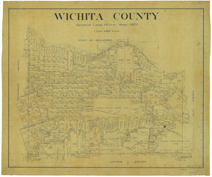
Wichita County

Print $20.00
- Digital $50.00
Wichita County
1924
Size 33.7 x 40.2 inches
Map/Doc 63123
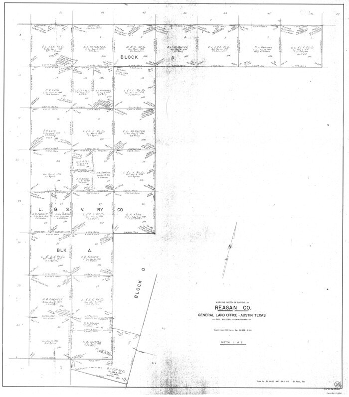
Reagan County Working Sketch 24

Print $20.00
- Digital $50.00
Reagan County Working Sketch 24
1958
Size 45.4 x 39.9 inches
Map/Doc 71866
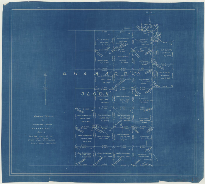
Schleicher County Working Sketch 15

Print $20.00
- Digital $50.00
Schleicher County Working Sketch 15
1940
Size 30.1 x 33.6 inches
Map/Doc 63817
Bosque County Sketch File 22


Print $4.00
- Digital $50.00
Bosque County Sketch File 22
1863
Size 13.8 x 8.5 inches
Map/Doc 14804
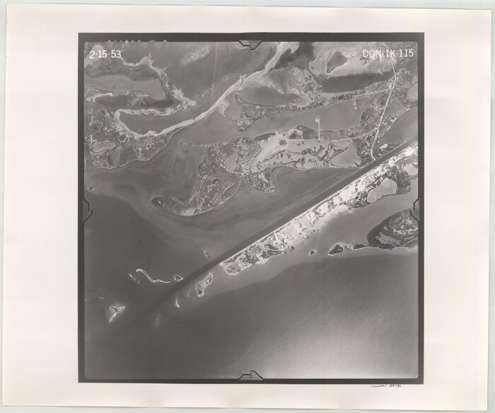
Flight Mission No. DQN-1K, Frame 115, Calhoun County

Print $20.00
- Digital $50.00
Flight Mission No. DQN-1K, Frame 115, Calhoun County
1953
Size 18.6 x 22.3 inches
Map/Doc 84181
Knox County Rolled Sketch 17


Print $20.00
- Digital $50.00
Knox County Rolled Sketch 17
1892
Size 31.0 x 39.2 inches
Map/Doc 10670
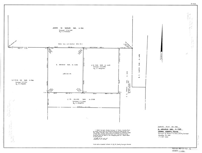
Cooke County Rolled Sketch 5

Print $20.00
- Digital $50.00
Cooke County Rolled Sketch 5
1980
Size 18.2 x 24.0 inches
Map/Doc 5563
Trinity County Working Sketch 13


Print $20.00
- Digital $50.00
Trinity County Working Sketch 13
1956
Size 18.2 x 24.7 inches
Map/Doc 69462
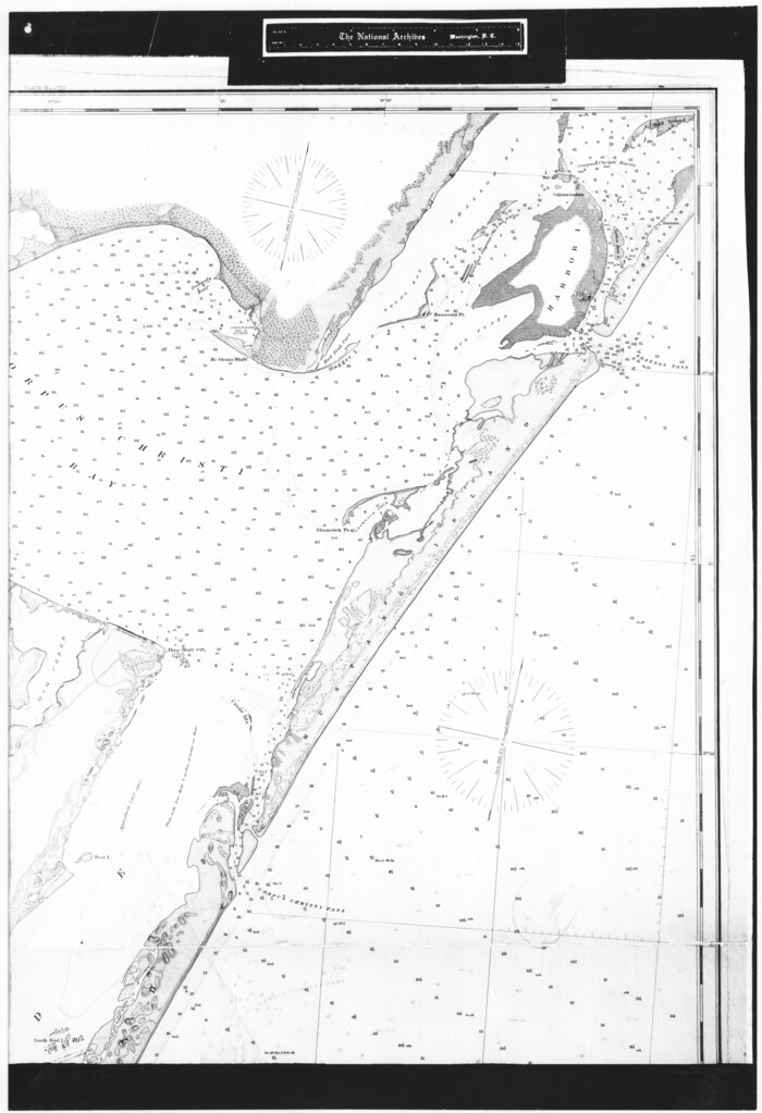
Coast Chart No. 210 Aransas Pass and Corpus Christi Bay with the coast to latitude 27° 12' Texas

Print $20.00
- Digital $50.00
Coast Chart No. 210 Aransas Pass and Corpus Christi Bay with the coast to latitude 27° 12' Texas
1887
Size 26.7 x 18.3 inches
Map/Doc 72810
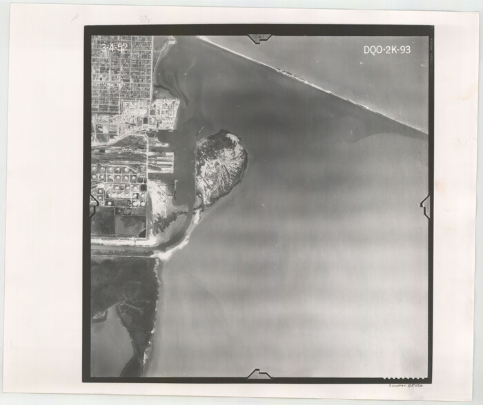
Flight Mission No. DQO-2K, Frame 93, Galveston County

Print $20.00
- Digital $50.00
Flight Mission No. DQO-2K, Frame 93, Galveston County
1952
Size 18.8 x 22.4 inches
Map/Doc 85020
Flight Mission No. DQN-2K, Frame 40, Calhoun County

Print $20.00
- Digital $50.00
Flight Mission No. DQN-2K, Frame 40, Calhoun County
1953
Size 18.6 x 22.2 inches
Map/Doc 84245
Pecos County Rolled Sketch 20
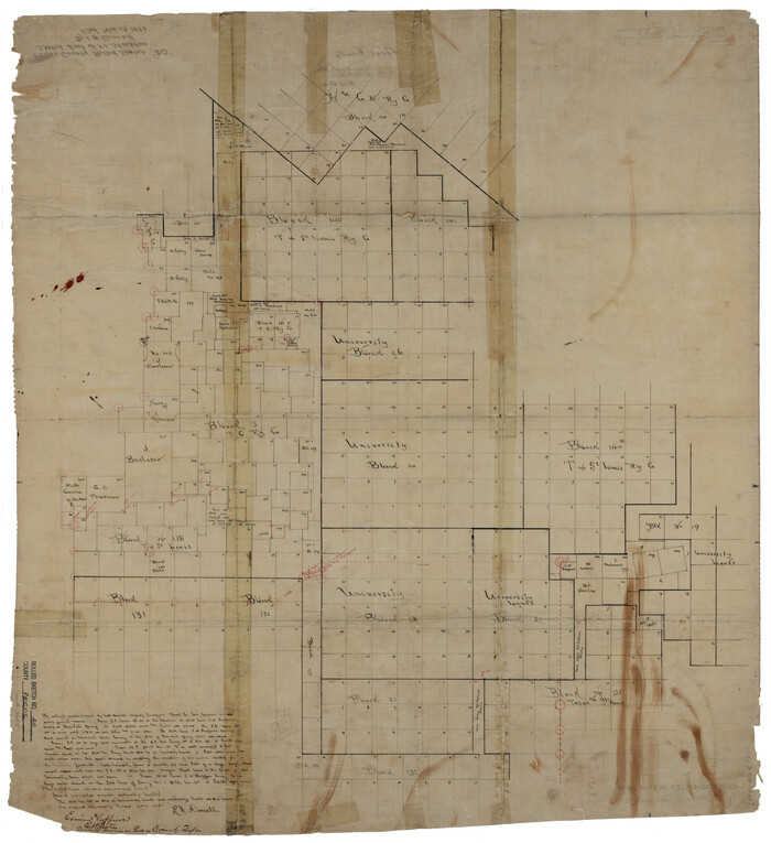

Print $20.00
- Digital $50.00
Pecos County Rolled Sketch 20
Size 31.8 x 29.1 inches
Map/Doc 9685
You may also like
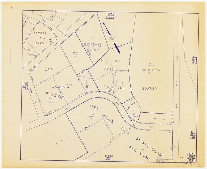
Travis County Appraisal District Plat Map 2_2813

Print $20.00
- Digital $50.00
Travis County Appraisal District Plat Map 2_2813
Size 21.5 x 26.5 inches
Map/Doc 94217
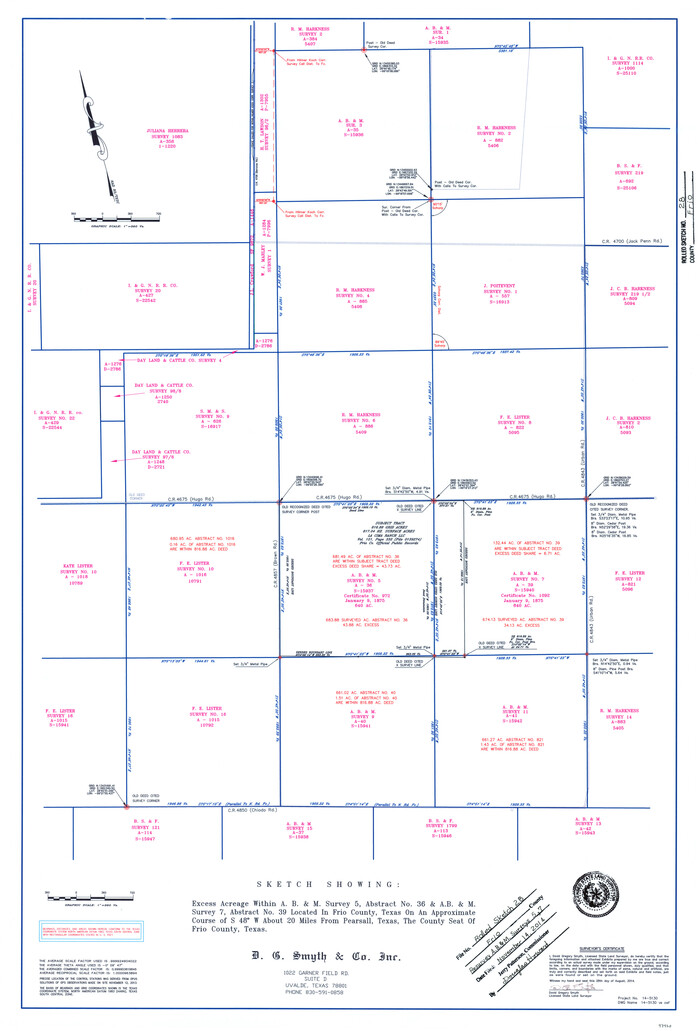
Frio County Rolled Sketch 28

Print $20.00
- Digital $50.00
Frio County Rolled Sketch 28
2014
Size 36.3 x 24.7 inches
Map/Doc 97420
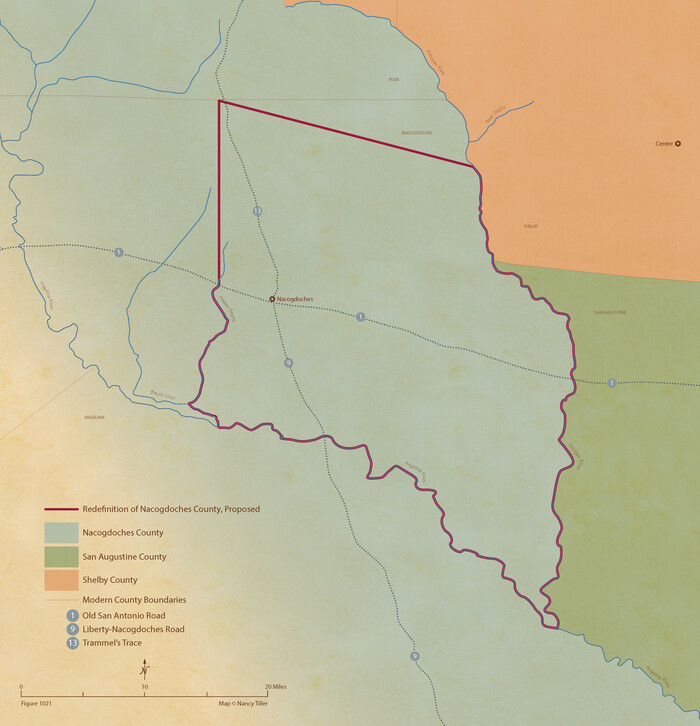
From Citizens of Nacogdoches County to Redefine the Boundaries of Nacogdoches County, December 2, 1841

Print $20.00
From Citizens of Nacogdoches County to Redefine the Boundaries of Nacogdoches County, December 2, 1841
2020
Size 22.5 x 21.7 inches
Map/Doc 96395
Swisher County Rolled Sketch 4
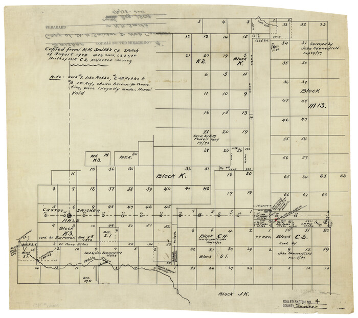

Print $20.00
- Digital $50.00
Swisher County Rolled Sketch 4
1904
Size 16.2 x 18.0 inches
Map/Doc 7905
Presidio County Working Sketch 15
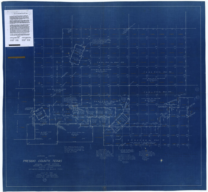

Print $20.00
- Digital $50.00
Presidio County Working Sketch 15
1942
Size 38.1 x 41.3 inches
Map/Doc 71691
Real County Working Sketch 56
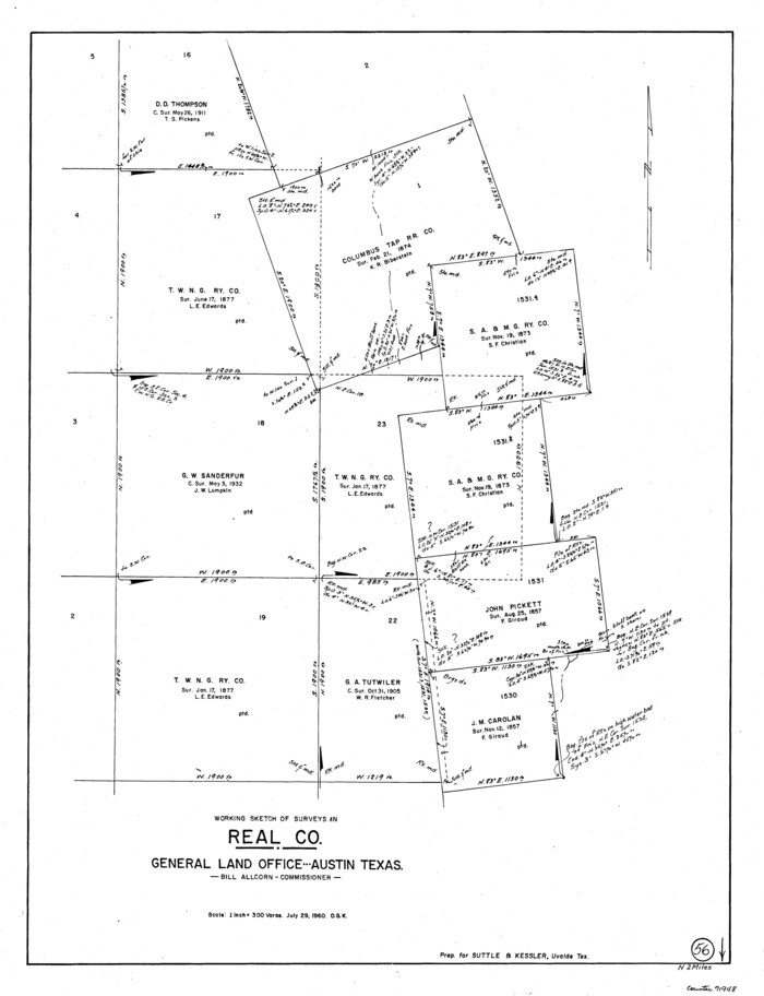

Print $20.00
- Digital $50.00
Real County Working Sketch 56
1960
Size 31.1 x 23.9 inches
Map/Doc 71948
Reeves County
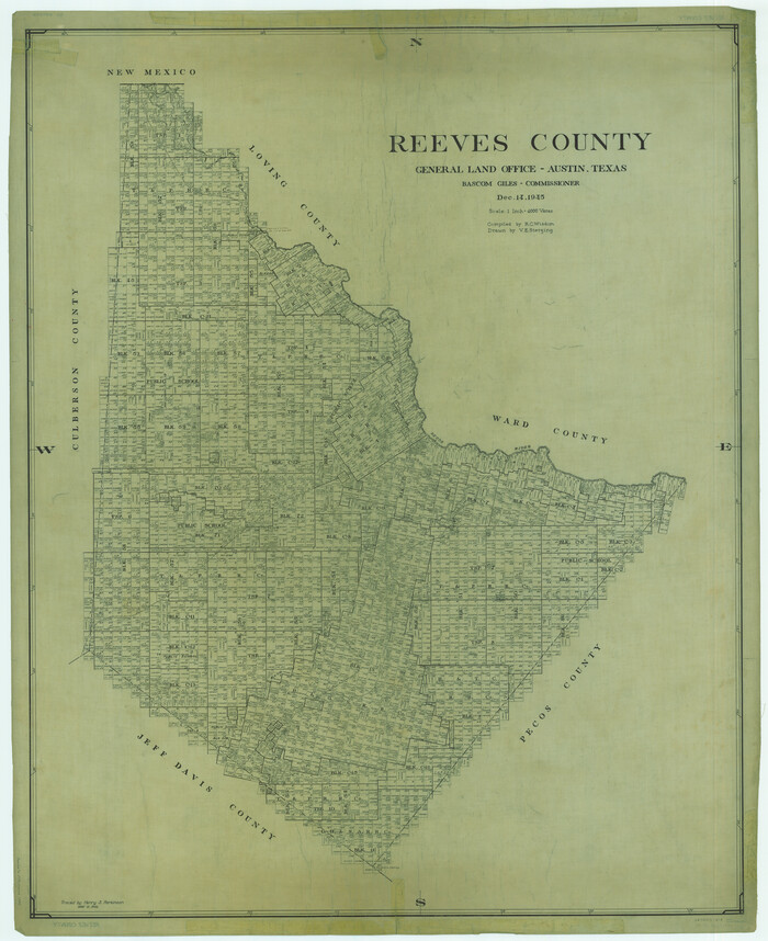

Print $40.00
- Digital $50.00
Reeves County
1945
Size 48.6 x 39.6 inches
Map/Doc 63001
Galveston County NRC Article 33.136 Sketch 30


Print $20.00
- Digital $50.00
Galveston County NRC Article 33.136 Sketch 30
2005
Size 12.1 x 15.5 inches
Map/Doc 82997
Travis County Sketch File 36


Print $4.00
- Digital $50.00
Travis County Sketch File 36
1912
Size 8.4 x 9.9 inches
Map/Doc 38355
Kent County Sketch File 10a
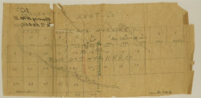

Print $4.00
- Digital $50.00
Kent County Sketch File 10a
Size 5.9 x 12.0 inches
Map/Doc 28836
Plat of Land Purchased by C. W. Post in Hockley County, Texas
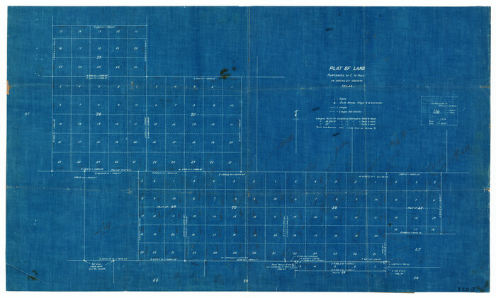

Print $20.00
- Digital $50.00
Plat of Land Purchased by C. W. Post in Hockley County, Texas
1913
Size 24.1 x 14.5 inches
Map/Doc 91116
[Travis District]
![88740, [Travis District], General Map Collection](https://historictexasmaps.com/wmedia_w700/maps/88740.tif.jpg)
![88740, [Travis District], General Map Collection](https://historictexasmaps.com/wmedia_w700/maps/88740.tif.jpg)
Print $40.00
- Digital $50.00
[Travis District]
1840
Size 54.7 x 46.0 inches
Map/Doc 88740
![3134, [Map of Line Dividing Fannin and Nacogdoches Districts], General Map Collection](https://historictexasmaps.com/wmedia_w1800h1800/maps/3134.tif.jpg)