[Young Territory]

Print $40.00
- Digital $50.00
[Young Territory]
1875
Size: 49.0 x 87.4 inches
16784
[Gonzales District]
Print $20.00
- Digital $50.00
[Gonzales District]
1840
Size: 42.8 x 37.0 inches
16837
[Bastrop District]
Print $40.00
- Digital $50.00
[Bastrop District]
1838
Size: 67.3 x 44.2 inches
16941
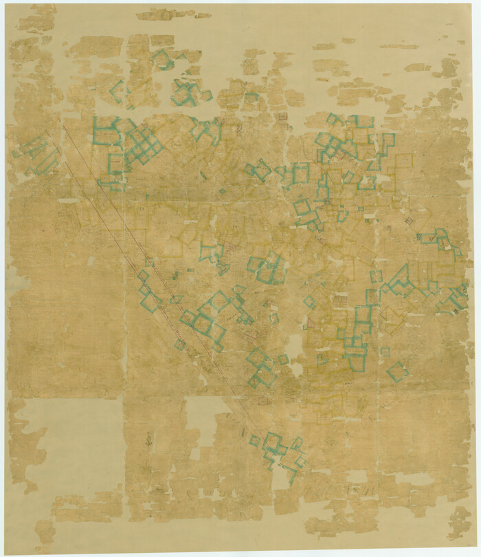
[Map of a portion of Bexar and Travis Districts]
Print $20.00
- Digital $50.00
[Map of a portion of Bexar and Travis Districts]
Size: 47.5 x 47.2 inches
16943
Map of the Western Part of Bexar District

Print $40.00
- Digital $50.00
Map of the Western Part of Bexar District
1849
Size: 64.0 x 54.3 inches
16944
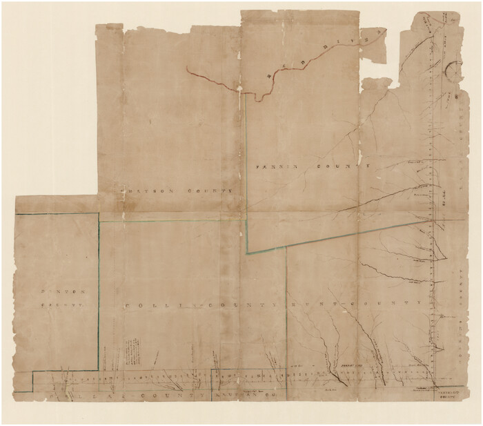
[Map of Line Dividing Fannin and Nacogdoches Districts]
Print $20.00
- Digital $50.00
[Map of Line Dividing Fannin and Nacogdoches Districts]
1850
Size: 34.2 x 39.0 inches
1707
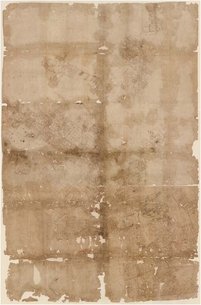
Map of the District of San Patricio and Nueces

Print $40.00
- Digital $50.00
Map of the District of San Patricio and Nueces
Size: 93.8 x 67.5 inches
1955
Map of the District of San Patricio and Nueces

Print $40.00
- Digital $50.00
Map of the District of San Patricio and Nueces
1847
Size: 52.6 x 44.2 inches
1956
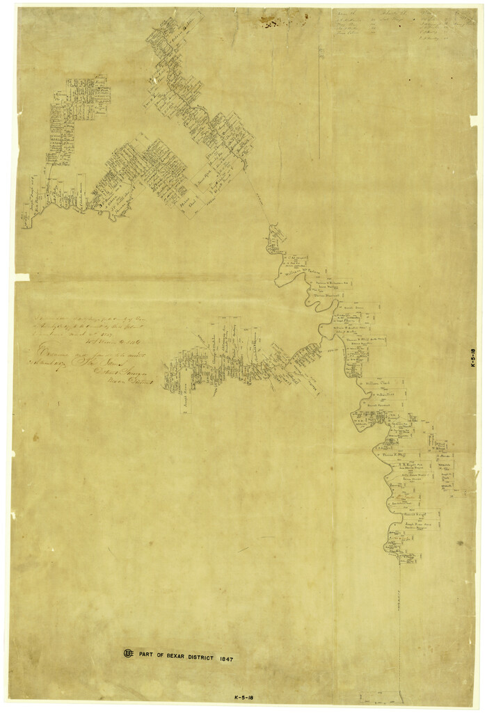
[Part of Bexar District]
Print $20.00
- Digital $50.00
[Part of Bexar District]
1847
Size: 40.9 x 27.8 inches
1958
Map of Refugio District

Print $20.00
- Digital $50.00
Map of Refugio District
1850
Size: 22.6 x 25.1 inches
1959
[Lower Part of Milam District]
Print $20.00
- Digital $50.00
[Lower Part of Milam District]
1850
Size: 46.5 x 44.2 inches
1961
[Northern Bexar District]
Print $20.00
- Digital $50.00
[Northern Bexar District]
1852
Size: 46.0 x 26.5 inches
1963
Young Land District

Print $20.00
- Digital $50.00
Young Land District
1857
Size: 21.7 x 29.7 inches
1974
A Map of that part of Young District south of old Fannin District line

Print $20.00
- Digital $50.00
A Map of that part of Young District south of old Fannin District line
1861
Size: 24.9 x 38.0 inches
1979
Map of the Surveyed Part of Young District

Print $40.00
- Digital $50.00
Map of the Surveyed Part of Young District
1860
Size: 56.2 x 54.7 inches
1986
Map of San Patricio District

Print $40.00
- Digital $50.00
Map of San Patricio District
1870
Size: 43.8 x 51.4 inches
1987
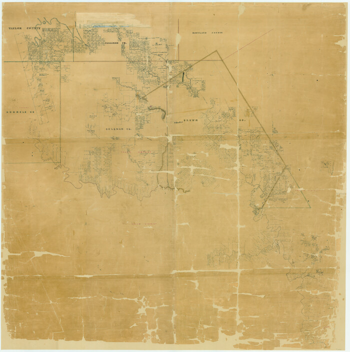
Map of Southeastern Part of Young Territory

Print $40.00
- Digital $50.00
Map of Southeastern Part of Young Territory
1874
Size: 54.7 x 30.1 inches
1989
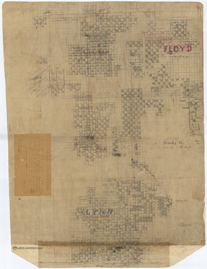
[Jack District Map]
Print $20.00
- Digital $50.00
[Jack District Map]
1877
Size: 46.4 x 35.8 inches
1991
District Map Showing Deaf Smith, Randall, Armstrong, Donley, Collingsworth, Castro, Swisher, Briscoe, Hall & Childress Counties, Texas

Print $40.00
- Digital $50.00
District Map Showing Deaf Smith, Randall, Armstrong, Donley, Collingsworth, Castro, Swisher, Briscoe, Hall & Childress Counties, Texas
1878
Size: 42.9 x 82.3 inches
1994
Map of the State of Texas Showing Original Land Districts

Print $20.00
- Digital $50.00
Map of the State of Texas Showing Original Land Districts
1891
Size: 45.6 x 43.0 inches
1995
[Cherokee Reserve, West Boundary Line, plat and field notes]
![2000, [Cherokee Reserve, West Boundary Line, plat and field notes], General Map Collection](https://historictexasmaps.com/wmedia_w700/pdf_converted_jpg/qi_pdf_thumbnail_931.jpg)
Print $54.00
[Cherokee Reserve, West Boundary Line, plat and field notes]
1841
Size: 9.4 x 14.7 inches
2000
Map of the State of Texas Showing Original Land Districts

Print $20.00
- Digital $50.00
Map of the State of Texas Showing Original Land Districts
1891
Size: 42.2 x 42.4 inches
2138
[Young Territory]
Print $40.00
- Digital $50.00
[Young Territory]
1875
-
Size
49.0 x 87.4 inches
-
Map/Doc
16784
-
Creation Date
1875
[Jack District]
![16828, [Jack District], General Map Collection](https://historictexasmaps.com/wmedia_w700/maps/16828.tif.jpg)
Print $40.00
- Digital $50.00
[Jack District]
1876
-
Size
50.0 x 76.4 inches
-
Map/Doc
16828
-
Creation Date
1876
[Gonzales District]
Print $20.00
- Digital $50.00
[Gonzales District]
1840
-
Size
42.8 x 37.0 inches
-
Map/Doc
16837
-
Creation Date
1840
[Bastrop District]
Print $40.00
- Digital $50.00
[Bastrop District]
1838
-
Size
67.3 x 44.2 inches
-
Map/Doc
16941
-
Creation Date
1838
[Map of a portion of Bexar and Travis Districts]
Print $20.00
- Digital $50.00
[Map of a portion of Bexar and Travis Districts]
-
Size
47.5 x 47.2 inches
-
Map/Doc
16943
Map of the Western Part of Bexar District
Print $40.00
- Digital $50.00
Map of the Western Part of Bexar District
1849
-
Size
64.0 x 54.3 inches
-
Map/Doc
16944
-
Creation Date
1849
[Map of Line Dividing Fannin and Nacogdoches Districts]
Print $20.00
- Digital $50.00
[Map of Line Dividing Fannin and Nacogdoches Districts]
1850
-
Size
34.2 x 39.0 inches
-
Map/Doc
1707
-
Creation Date
1850
[Victoria District]
![1945, [Victoria District], General Map Collection](https://historictexasmaps.com/wmedia_w700/maps/1945.tif.jpg)
Print $20.00
- Digital $50.00
[Victoria District]
-
Size
34.8 x 25.6 inches
-
Map/Doc
1945
Map of the District of San Patricio and Nueces
Print $40.00
- Digital $50.00
Map of the District of San Patricio and Nueces
-
Size
93.8 x 67.5 inches
-
Map/Doc
1955
Map of the District of San Patricio and Nueces
Print $40.00
- Digital $50.00
Map of the District of San Patricio and Nueces
1847
-
Size
52.6 x 44.2 inches
-
Map/Doc
1956
-
Creation Date
1847
[Part of Bexar District]
Print $20.00
- Digital $50.00
[Part of Bexar District]
1847
-
Size
40.9 x 27.8 inches
-
Map/Doc
1958
-
Creation Date
1847
Map of Refugio District
Print $20.00
- Digital $50.00
Map of Refugio District
1850
-
Size
22.6 x 25.1 inches
-
Map/Doc
1959
-
Creation Date
1850
[Lower Part of Milam District]
Print $20.00
- Digital $50.00
[Lower Part of Milam District]
1850
-
Size
46.5 x 44.2 inches
-
Map/Doc
1961
-
Creation Date
1850
[Northern Bexar District]
Print $20.00
- Digital $50.00
[Northern Bexar District]
1852
-
Size
46.0 x 26.5 inches
-
Map/Doc
1963
-
Creation Date
1852
Young Land District
Print $20.00
- Digital $50.00
Young Land District
1857
-
Size
21.7 x 29.7 inches
-
Map/Doc
1974
-
Creation Date
1857
Young Territory

Print $20.00
- Digital $50.00
Young Territory
1873
-
Size
29.2 x 29.9 inches
-
Map/Doc
1976
-
Creation Date
1873
Young Territory

Print $20.00
- Digital $50.00
Young Territory
1874
-
Size
29.4 x 29.2 inches
-
Map/Doc
1977
-
Creation Date
1874
Young Territory

Print $20.00
- Digital $50.00
Young Territory
1865
-
Size
29.7 x 30.5 inches
-
Map/Doc
1978
-
Creation Date
1865
A Map of that part of Young District south of old Fannin District line
Print $20.00
- Digital $50.00
A Map of that part of Young District south of old Fannin District line
1861
-
Size
24.9 x 38.0 inches
-
Map/Doc
1979
-
Creation Date
1861
Map of the Surveyed Part of Young District
Print $40.00
- Digital $50.00
Map of the Surveyed Part of Young District
1860
-
Size
56.2 x 54.7 inches
-
Map/Doc
1986
-
Creation Date
1860
Map of San Patricio District
Print $40.00
- Digital $50.00
Map of San Patricio District
1870
-
Size
43.8 x 51.4 inches
-
Map/Doc
1987
-
Creation Date
1870
Young Territory

Print $20.00
- Digital $50.00
Young Territory
1873
-
Size
45.3 x 42.8 inches
-
Map/Doc
1988
-
Creation Date
1873
Map of Southeastern Part of Young Territory
Print $40.00
- Digital $50.00
Map of Southeastern Part of Young Territory
1874
-
Size
54.7 x 30.1 inches
-
Map/Doc
1989
-
Creation Date
1874
[Jack District Map]
Print $20.00
- Digital $50.00
[Jack District Map]
1877
-
Size
46.4 x 35.8 inches
-
Map/Doc
1991
-
Creation Date
1877
[Jack District]
![1992, [Jack District], General Map Collection](https://historictexasmaps.com/wmedia_w700/maps/1992.tif.jpg)
Print $40.00
- Digital $50.00
[Jack District]
1880
-
Size
52.7 x 43.4 inches
-
Map/Doc
1992
-
Creation Date
1880
[Jack District]
![1993, [Jack District], General Map Collection](https://historictexasmaps.com/wmedia_w700/maps/1993-1.tif.jpg)
Print $40.00
- Digital $50.00
[Jack District]
1878
-
Size
42.1 x 64.5 inches
-
Map/Doc
1993
-
Creation Date
1878
District Map Showing Deaf Smith, Randall, Armstrong, Donley, Collingsworth, Castro, Swisher, Briscoe, Hall & Childress Counties, Texas
Print $40.00
- Digital $50.00
District Map Showing Deaf Smith, Randall, Armstrong, Donley, Collingsworth, Castro, Swisher, Briscoe, Hall & Childress Counties, Texas
1878
-
Size
42.9 x 82.3 inches
-
Map/Doc
1994
-
Creation Date
1878
Map of the State of Texas Showing Original Land Districts
Print $20.00
- Digital $50.00
Map of the State of Texas Showing Original Land Districts
1891
-
Size
45.6 x 43.0 inches
-
Map/Doc
1995
-
Creation Date
1891
[Cherokee Reserve, West Boundary Line, plat and field notes]
Print $54.00
[Cherokee Reserve, West Boundary Line, plat and field notes]
1841
-
Size
9.4 x 14.7 inches
-
Map/Doc
2000
-
Creation Date
1841
Map of the State of Texas Showing Original Land Districts
Print $20.00
- Digital $50.00
Map of the State of Texas Showing Original Land Districts
1891
-
Size
42.2 x 42.4 inches
-
Map/Doc
2138
-
Creation Date
1891