[Lower Part of Milam District]
K-5-25
-
Map/Doc
1961
-
Collection
General Map Collection
-
Object Dates
1850 (Creation Date)
-
Subjects
District
-
Height x Width
46.5 x 44.2 inches
118.1 x 112.3 cm
Part of: General Map Collection
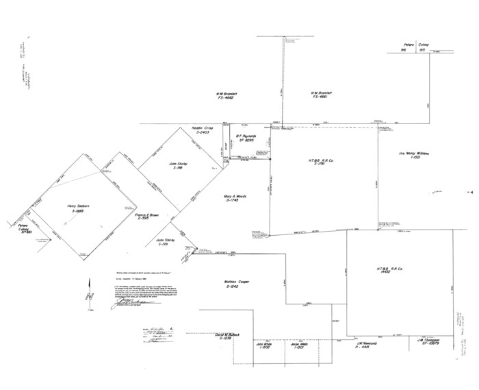
Shackelford County Rolled Sketch 4

Print $20.00
- Digital $50.00
Shackelford County Rolled Sketch 4
Size 38.8 x 47.7 inches
Map/Doc 9916
Flight Mission No. DCL-7C, Frame 65, Kenedy County


Print $20.00
- Digital $50.00
Flight Mission No. DCL-7C, Frame 65, Kenedy County
1943
Size 18.5 x 22.3 inches
Map/Doc 86051
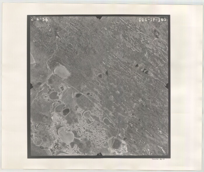
Flight Mission No. CUG-1P, Frame 165, Kleberg County

Print $20.00
- Digital $50.00
Flight Mission No. CUG-1P, Frame 165, Kleberg County
1956
Size 18.7 x 22.2 inches
Map/Doc 86172
Nueces County Sketch File 6


Print $20.00
- Digital $50.00
Nueces County Sketch File 6
Size 15.0 x 22.2 inches
Map/Doc 42175
Colorado County Sketch File 16


Print $4.00
- Digital $50.00
Colorado County Sketch File 16
Size 8.2 x 10.3 inches
Map/Doc 18945
Taylor County Rolled Sketch 27A


Print $20.00
- Digital $50.00
Taylor County Rolled Sketch 27A
Size 30.5 x 21.4 inches
Map/Doc 7919
Harbor of Brazos Santiago, Texas


Print $20.00
- Digital $50.00
Harbor of Brazos Santiago, Texas
1887
Size 27.0 x 18.3 inches
Map/Doc 72993
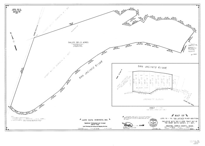
Harris County Sketch File 96

Print $426.00
- Digital $50.00
Harris County Sketch File 96
1938
Size 26.2 x 36.9 inches
Map/Doc 10484
[Right of Way Map, Belton Branch of the M.K.&T. RR.]
![64220, [Right of Way Map, Belton Branch of the M.K.&T. RR.], General Map Collection](https://historictexasmaps.com/wmedia_w700/maps/64220.tif.jpg)
![64220, [Right of Way Map, Belton Branch of the M.K.&T. RR.], General Map Collection](https://historictexasmaps.com/wmedia_w700/maps/64220.tif.jpg)
Print $20.00
- Digital $50.00
[Right of Way Map, Belton Branch of the M.K.&T. RR.]
1896
Size 22.2 x 7.4 inches
Map/Doc 64220
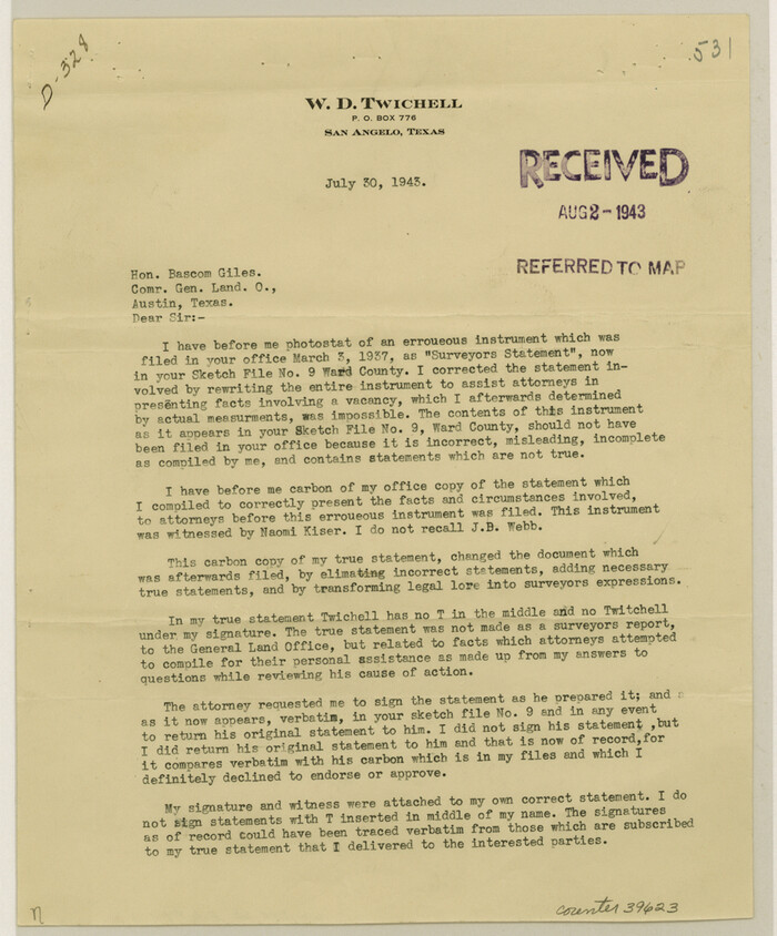
Ward County Sketch File 9

Print $25.00
- Digital $50.00
Ward County Sketch File 9
1937
Size 10.8 x 8.9 inches
Map/Doc 39623
Edwards County Rolled Sketch 17


Print $20.00
- Digital $50.00
Edwards County Rolled Sketch 17
1945
Size 27.6 x 19.4 inches
Map/Doc 5806
You may also like
Jeff Davis County Rolled Sketch 8


Print $20.00
- Digital $50.00
Jeff Davis County Rolled Sketch 8
Size 40.0 x 41.6 inches
Map/Doc 9264
Presidio County Working Sketch 46


Print $40.00
- Digital $50.00
Presidio County Working Sketch 46
1947
Size 36.8 x 59.0 inches
Map/Doc 71723
The Judicial District/County of Panola. Created, January 30, 1841


Print $20.00
The Judicial District/County of Panola. Created, January 30, 1841
2020
Size 19.3 x 21.6 inches
Map/Doc 96340
Flight Mission No. DAH-9M, Frame 198, Orange County


Print $20.00
- Digital $50.00
Flight Mission No. DAH-9M, Frame 198, Orange County
1953
Size 18.6 x 22.5 inches
Map/Doc 86866
Cooke County Sketch File 40


Print $20.00
- Digital $50.00
Cooke County Sketch File 40
Size 36.3 x 34.0 inches
Map/Doc 10341
Jefferson County Working Sketch 10


Print $40.00
- Digital $50.00
Jefferson County Working Sketch 10
1942
Size 35.0 x 49.4 inches
Map/Doc 66553
Nueces County Sketch File 12b


Print $8.00
- Digital $50.00
Nueces County Sketch File 12b
1889
Size 14.2 x 8.8 inches
Map/Doc 32530
Sutton County Sketch File 46
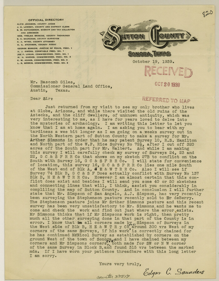

Print $4.00
- Digital $50.00
Sutton County Sketch File 46
1939
Size 11.3 x 8.8 inches
Map/Doc 37517
Wood County Sketch File 4
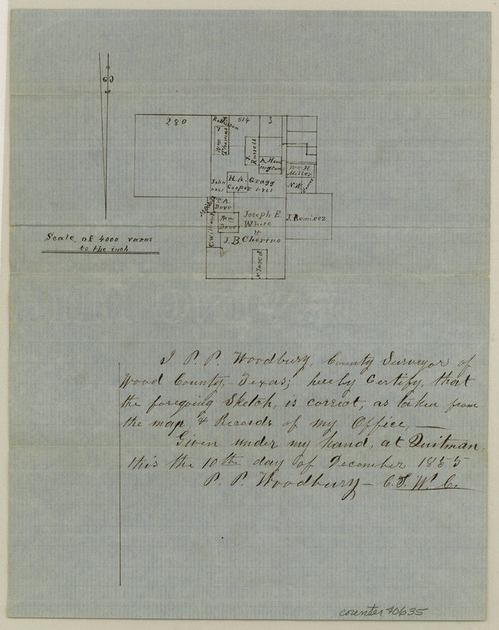

Print $4.00
- Digital $50.00
Wood County Sketch File 4
1855
Size 10.2 x 8.1 inches
Map/Doc 40635
Galveston County NRC Article 33.136 Sketch 65


Print $28.00
- Digital $50.00
Galveston County NRC Article 33.136 Sketch 65
2012
Size 24.0 x 36.0 inches
Map/Doc 93328
Edwards County Sketch File A1
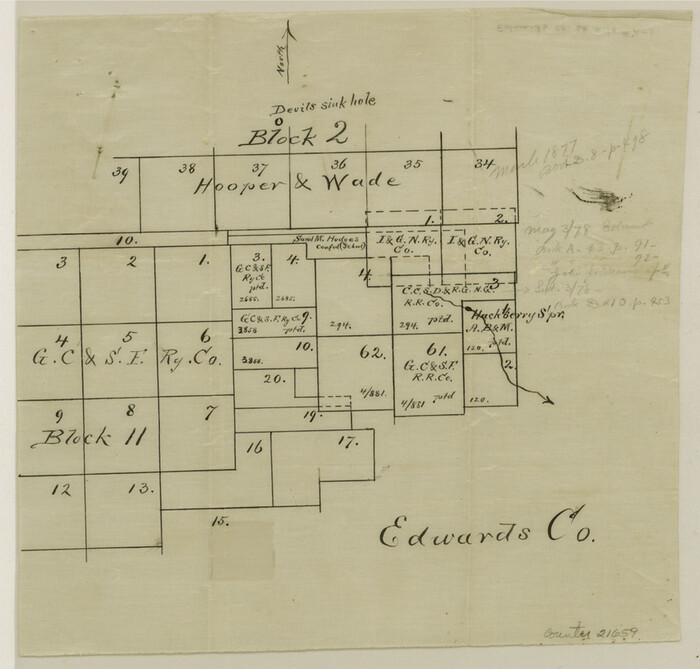

Print $6.00
- Digital $50.00
Edwards County Sketch File A1
Size 8.5 x 8.8 inches
Map/Doc 21659
Haskell County Working Sketch 9
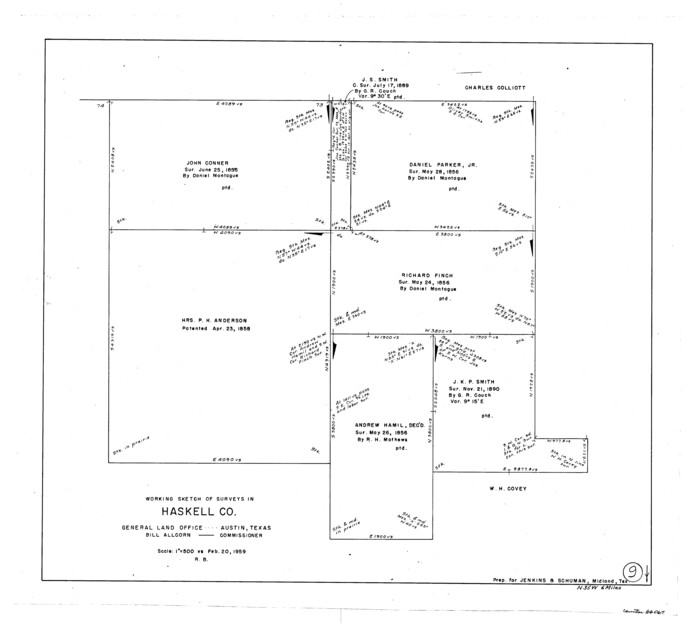

Print $20.00
- Digital $50.00
Haskell County Working Sketch 9
1959
Size 23.5 x 26.0 inches
Map/Doc 66067
![1961, [Lower Part of Milam District], General Map Collection](https://historictexasmaps.com/wmedia_w1800h1800/maps/1961.tif.jpg)
