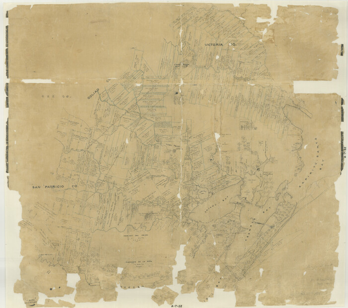
60 results

A Map of that part of Young District south of old Fannin District line
1979.tif
Print $20.00 - Digital $50.00

A Map of that part of Young District south of old Fannin District line

1861

Size: 24.9 x 38.0 inches
1979
District Map Showing Deaf Smith, Randall, Armstrong, Donley, Collingsworth, Castro, Swisher, Briscoe, Hall & Childress Counties, Texas
1994.tif
Print $40.00 - Digital $50.00

District Map Showing Deaf Smith, Randall, Armstrong, Donley, Collingsworth, Castro, Swisher, Briscoe, Hall & Childress Counties, Texas

1878
Size: 42.9 x 82.3 inches
1994
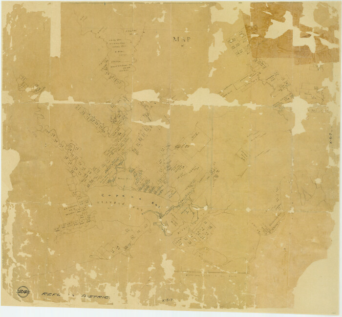
Map of Refugio District
1959.tif
Print $20.00 - Digital $50.00

Map of Refugio District

1850

Size: 22.6 x 25.1 inches
1959
Map of Robertson District
3032.tif
Print $40.00 - Digital $50.00

Map of Robertson District

1846

Size: 81.3 x 45.3 inches
3032
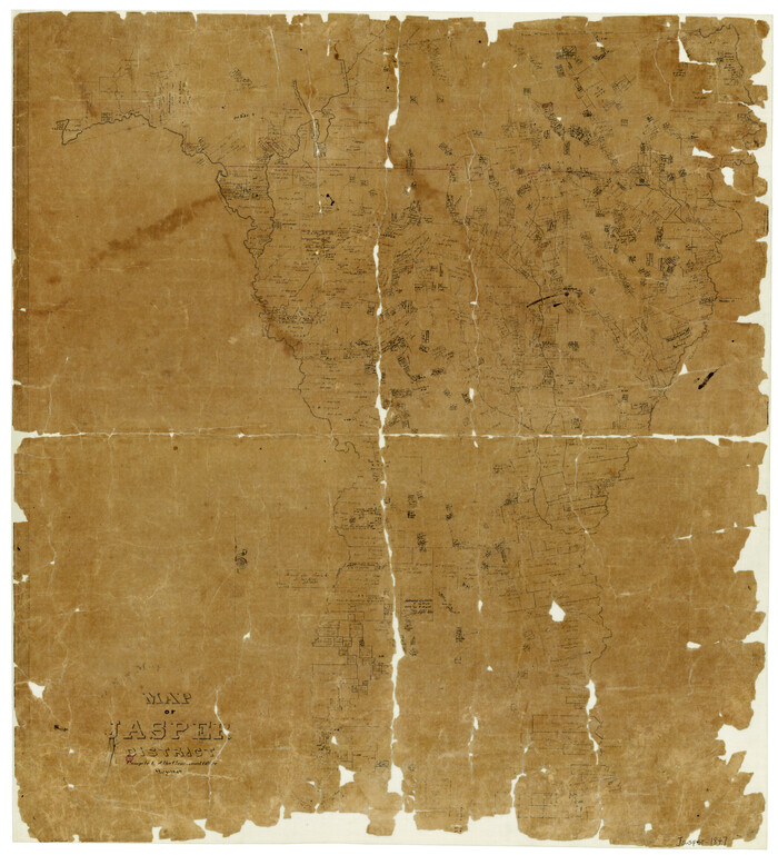
Map of San Patricio District
1987.tif
Print $40.00 - Digital $50.00

Map of San Patricio District

1870

Size: 43.8 x 51.4 inches
1987
Map of Southeastern Part of Young Territory
1989.tif
Print $40.00 - Digital $50.00

Map of Southeastern Part of Young Territory

1874

Size: 54.7 x 30.1 inches
1989
Map of the District of San Patricio and Nueces
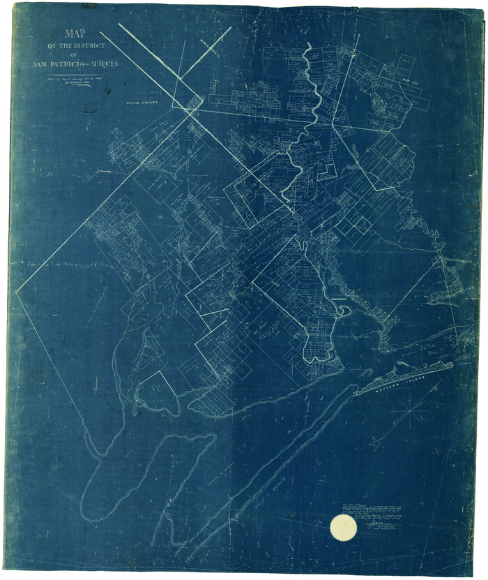
1955-2.tif
Print $40.00 - Digital $50.00

Map of the District of San Patricio and Nueces

Size: 93.8 x 67.5 inches
1955
Map of the District of San Patricio and Nueces
1956.tif
Print $40.00 - Digital $50.00

Map of the District of San Patricio and Nueces

1847

Size: 52.6 x 44.2 inches
1956
Map of the District of San Patricio and Nueces
93366-1.tif
Print $40.00 - Digital $50.00

Map of the District of San Patricio and Nueces
Size: 93.8 x 38.4 inches
93366
Map of the District of San Patricio and Nueces
93367-1.tif
Print $40.00 - Digital $50.00

Map of the District of San Patricio and Nueces

Size: 93.9 x 36.4 inches
93367
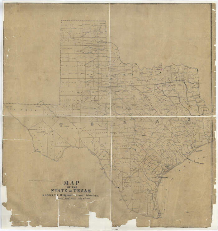
Map of the State of Texas Showing Original Land Districts
1995.tif
Print $20.00 - Digital $50.00

Map of the State of Texas Showing Original Land Districts

1891

Size: 45.6 x 43.0 inches
1995
Map of the State of Texas Showing Original Land Districts
2138.tif
Print $20.00 - Digital $50.00

Map of the State of Texas Showing Original Land Districts

1891
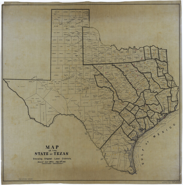
Size: 42.2 x 42.4 inches
2138
Map of the State of Texas Showing Original Land Districts
73598.tif
Print $20.00 - Digital $50.00

Map of the State of Texas Showing Original Land Districts

1891

Size: 43.7 x 43.3 inches
73598
Map of the Surveyed Part of Young District
1986.tif
Print $40.00 - Digital $50.00

Map of the Surveyed Part of Young District

1860
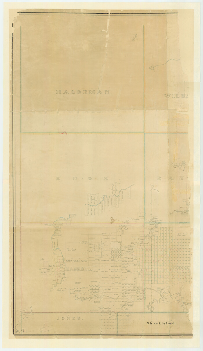
Size: 56.2 x 54.7 inches
1986
Map of the Surveyed Part of Young District
87373.tif
Print $40.00 - Digital $50.00

Map of the Surveyed Part of Young District

1860

Size: 56.3 x 32.6 inches
87373
Map of the Surveyed Part of Young District
87374.tif
Print $40.00 - Digital $50.00

Map of the Surveyed Part of Young District

1860

Size: 56.3 x 27.3 inches
87374
Map of the Western Part of Bexar District
16944.tif
Print $40.00 - Digital $50.00

Map of the Western Part of Bexar District

1849
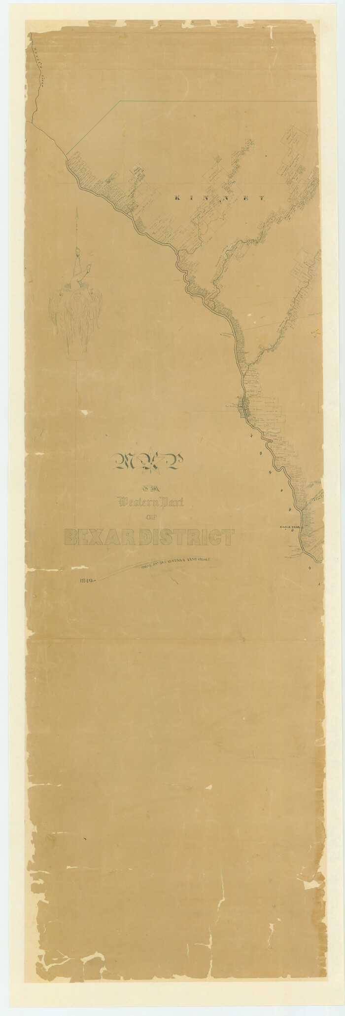
Size: 64.0 x 54.3 inches
16944
Map of the Western Part of Bexar District
87375.tif
Print $40.00 - Digital $50.00

Map of the Western Part of Bexar District

1849
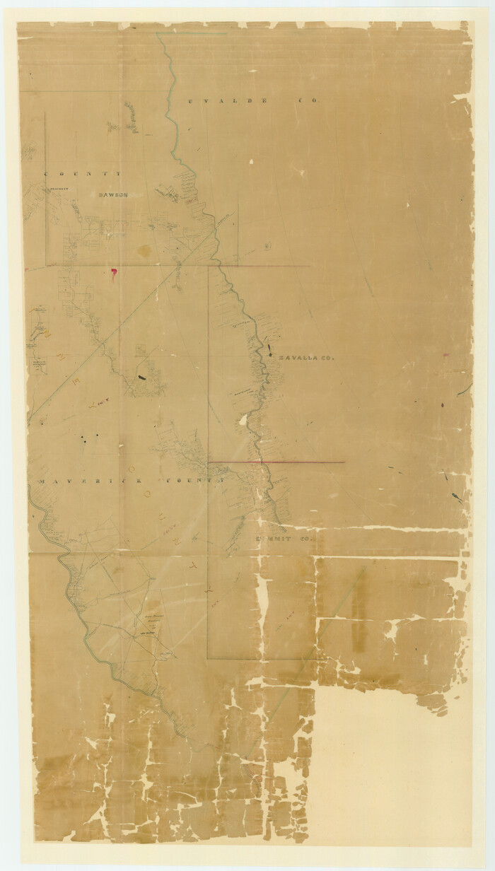
Size: 63.5 x 21.6 inches
87375
Map of the Western Part of Bexar District
87376.tif
Print $40.00 - Digital $50.00

Map of the Western Part of Bexar District

1849

Size: 63.7 x 36.2 inches
87376
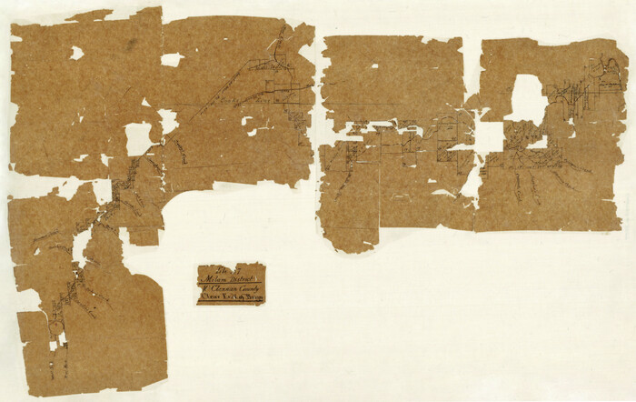
Milam District
3859.tif
Print $20.00 - Digital $50.00

Milam District

1854

Size: 30.2 x 18.9 inches
3859
Old Miscellaneous File 25
75632, Old Miscellaneous File 25, General Map Collection
Print $40.00 - Digital $50.00

Old Miscellaneous File 25

Size: 17.8 x 15.2 inches
75632
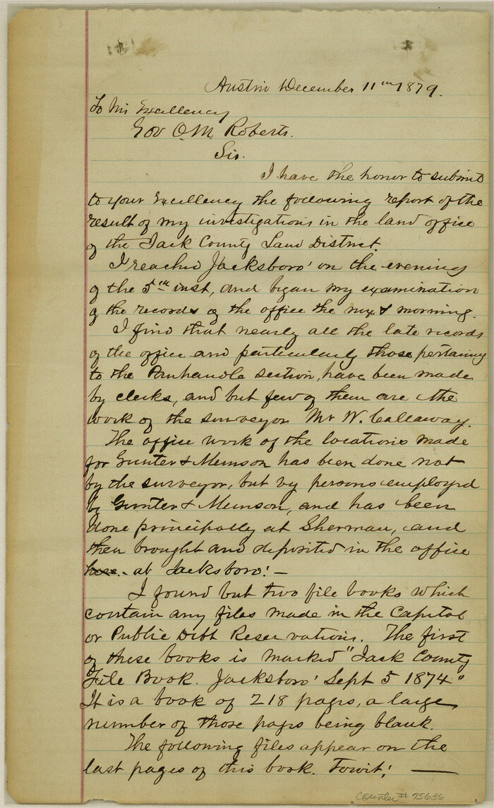
Old Miscellaneous File 27
75636, Old Miscellaneous File 27, General Map Collection
Print $28.00 - Digital $50.00

Old Miscellaneous File 27

1879

Size: 14.4 x 8.8 inches
75636
Old Miscellaneous File 27a
75651, Old Miscellaneous File 27a, General Map Collection
Print $142.00 - Digital $50.00

Old Miscellaneous File 27a

Size: 14.2 x 8.8 inches
75651
Old Miscellaneous File 27b
75722, Old Miscellaneous File 27b, General Map Collection
Print $10.00 - Digital $50.00

Old Miscellaneous File 27b

1880

Size: 14.3 x 8.8 inches
75722
Old Miscellaneous File 7
75422, Old Miscellaneous File 7, General Map Collection
Print $10.00 - Digital $50.00

Old Miscellaneous File 7

1848

Size: 12.6 x 8.2 inches
75422
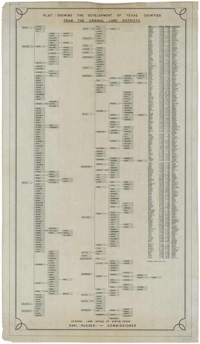
Plat Showing the Development of Texas Counties from the Original Land Districts
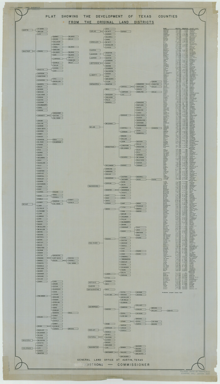
73616-1.tif
Print $40.00 - Digital $50.00

Plat Showing the Development of Texas Counties from the Original Land Districts

Size: 49.6 x 29.5 inches
73616
Plat Showing the Development of Texas Counties from the Original Land Districts
75932.tif
Print $40.00 - Digital $50.00

Plat Showing the Development of Texas Counties from the Original Land Districts

Size: 49.1 x 28.1 inches
75932
Refugio District
2139.tif
Print $20.00 - Digital $50.00

Refugio District

1855

Size: 30.7 x 34.7 inches
2139
Rucker's Work on Upper Red River
3220.tif
Print $20.00 - Digital $50.00

Rucker's Work on Upper Red River

1857

Size: 39.3 x 26.2 inches
3220
Starr County Rolled Sketch 2
9938.tif
Print $40.00 - Digital $50.00

Starr County Rolled Sketch 2

1853

Size: 31.7 x 48.5 inches
9938
A Map of that part of Young District south of old Fannin District line
1979, A Map of that part of Young District south of old Fannin District line, General Map Collection
Print $20.00 - Digital $50.00

A Map of that part of Young District south of old Fannin District line

1861

  • Size

    24.9 x 38.0 inches

  • Map/Doc

    1979

  • Creation Date

    1861

District Map Showing Deaf Smith, Randall, Armstrong, Donley, Collingsworth, Castro, Swisher, Briscoe, Hall & Childress Counties, Texas
1994, District Map Showing Deaf Smith, Randall, Armstrong, Donley, Collingsworth, Castro, Swisher, Briscoe, Hall & Childress Counties, Texas, General Map Collection
Print $40.00 - Digital $50.00

District Map Showing Deaf Smith, Randall, Armstrong, Donley, Collingsworth, Castro, Swisher, Briscoe, Hall & Childress Counties, Texas

1878

  • Size

    42.9 x 82.3 inches

  • Map/Doc

    1994

  • Creation Date

    1878

Map of Refugio District
1959, Map of Refugio District, General Map Collection
Print $20.00 - Digital $50.00

Map of Refugio District

1850

  • Size

    22.6 x 25.1 inches

  • Map/Doc

    1959

  • Creation Date

    1850

Map of Robertson District
3032, Map of Robertson District, General Map Collection
Print $40.00 - Digital $50.00

Map of Robertson District

1846

  • Size

    81.3 x 45.3 inches

  • Map/Doc

    3032

  • Creation Date

    1846

Map of San Patricio District
1987, Map of San Patricio District, General Map Collection
Print $40.00 - Digital $50.00

Map of San Patricio District

1870

  • Size

    43.8 x 51.4 inches

  • Map/Doc

    1987

  • Creation Date

    1870

Map of Southeastern Part of Young Territory
1989, Map of Southeastern Part of Young Territory, General Map Collection
Print $40.00 - Digital $50.00

Map of Southeastern Part of Young Territory

1874

  • Size

    54.7 x 30.1 inches

  • Map/Doc

    1989

  • Creation Date

    1874

Map of the District of San Patricio and Nueces
1955, Map of The District of San Patricio and Nueces, General Map Collection
Print $40.00 - Digital $50.00

Map of the District of San Patricio and Nueces

  • Size

    93.8 x 67.5 inches

  • Map/Doc

    1955

Map of the District of San Patricio and Nueces
1956, Map of the District of San Patricio and Nueces, General Map Collection
Print $40.00 - Digital $50.00

Map of the District of San Patricio and Nueces

1847

  • Size

    52.6 x 44.2 inches

  • Map/Doc

    1956

  • Creation Date

    1847

Map of the District of San Patricio and Nueces
93366, Map of The District of San Patricio and Nueces, General Map Collection
Print $40.00 - Digital $50.00

Map of the District of San Patricio and Nueces

  • Size

    93.8 x 38.4 inches

  • Map/Doc

    93366

Map of the District of San Patricio and Nueces
93367, Map of The District of San Patricio and Nueces, General Map Collection
Print $40.00 - Digital $50.00

Map of the District of San Patricio and Nueces

  • Size

    93.9 x 36.4 inches

  • Map/Doc

    93367

Map of the State of Texas Showing Original Land Districts
1995, Map of the State of Texas Showing Original Land Districts, General Map Collection
Print $20.00 - Digital $50.00

Map of the State of Texas Showing Original Land Districts

1891

  • Size

    45.6 x 43.0 inches

  • Map/Doc

    1995

  • Creation Date

    1891

Map of the State of Texas Showing Original Land Districts
2138, Map of the State of Texas Showing Original Land Districts, General Map Collection
Print $20.00 - Digital $50.00

Map of the State of Texas Showing Original Land Districts

1891

  • Size

    42.2 x 42.4 inches

  • Map/Doc

    2138

  • Creation Date

    1891

Map of the State of Texas Showing Original Land Districts
73598, Map of the State of Texas Showing Original Land Districts, General Map Collection
Print $20.00 - Digital $50.00

Map of the State of Texas Showing Original Land Districts

1891

  • Size

    43.7 x 43.3 inches

  • Map/Doc

    73598

  • Creation Date

    1891

Map of the Surveyed Part of Young District
1986, Map of the Surveyed Part of Young District, General Map Collection
Print $40.00 - Digital $50.00

Map of the Surveyed Part of Young District

1860

  • Size

    56.2 x 54.7 inches

  • Map/Doc

    1986

  • Creation Date

    1860

Map of the Surveyed Part of Young District
87373, Map of the Surveyed Part of Young District, General Map Collection
Print $40.00 - Digital $50.00

Map of the Surveyed Part of Young District

1860

  • Size

    56.3 x 32.6 inches

  • Map/Doc

    87373

  • Creation Date

    1860

Map of the Surveyed Part of Young District
87374, Map of the Surveyed Part of Young District, General Map Collection
Print $40.00 - Digital $50.00

Map of the Surveyed Part of Young District

1860

  • Size

    56.3 x 27.3 inches

  • Map/Doc

    87374

  • Creation Date

    1860

Map of the Western Part of Bexar District
16944, Map of the Western Part of Bexar District, General Map Collection
Print $40.00 - Digital $50.00

Map of the Western Part of Bexar District

1849

  • Size

    64.0 x 54.3 inches

  • Map/Doc

    16944

  • Creation Date

    1849

Map of the Western Part of Bexar District
87375, Map of the Western Part of Bexar District, General Map Collection
Print $40.00 - Digital $50.00

Map of the Western Part of Bexar District

1849

  • Size

    63.5 x 21.6 inches

  • Map/Doc

    87375

  • Creation Date

    1849

Map of the Western Part of Bexar District
87376, Map of the Western Part of Bexar District, General Map Collection
Print $40.00 - Digital $50.00

Map of the Western Part of Bexar District

1849

  • Size

    63.7 x 36.2 inches

  • Map/Doc

    87376

  • Creation Date

    1849

Milam District
3859, Milam District, General Map Collection
Print $20.00 - Digital $50.00

Milam District

1854

  • Size

    30.2 x 18.9 inches

  • Map/Doc

    3859

  • Creation Date

    1854

Old Miscellaneous File 25
75632, Old Miscellaneous File 25, General Map Collection
Print $40.00 - Digital $50.00

Old Miscellaneous File 25

  • Size

    17.8 x 15.2 inches

  • Map/Doc

    75632

Old Miscellaneous File 27
75636, Old Miscellaneous File 27, General Map Collection
Print $28.00 - Digital $50.00

Old Miscellaneous File 27

1879

  • Size

    14.4 x 8.8 inches

  • Map/Doc

    75636

  • Creation Date

    1879

Old Miscellaneous File 27a
75651, Old Miscellaneous File 27a, General Map Collection
Print $142.00 - Digital $50.00

Old Miscellaneous File 27a

  • Size

    14.2 x 8.8 inches

  • Map/Doc

    75651

Old Miscellaneous File 27b
75722, Old Miscellaneous File 27b, General Map Collection
Print $10.00 - Digital $50.00

Old Miscellaneous File 27b

1880

  • Size

    14.3 x 8.8 inches

  • Map/Doc

    75722

  • Creation Date

    1880

Old Miscellaneous File 7
75422, Old Miscellaneous File 7, General Map Collection
Print $10.00 - Digital $50.00

Old Miscellaneous File 7

1848

  • Size

    12.6 x 8.2 inches

  • Map/Doc

    75422

  • Creation Date

    1848

Plat Showing the Development of Texas Counties from the Original Land Districts
73616, Plat Showing the Development of Texas Counties from the Original Land Districts, General Map Collection
Print $40.00 - Digital $50.00

Plat Showing the Development of Texas Counties from the Original Land Districts

  • Size

    49.6 x 29.5 inches

  • Map/Doc

    73616

Plat Showing the Development of Texas Counties from the Original Land Districts
75932, Plat Showing the Development of Texas Counties from the Original Land Districts, General Map Collection
Print $40.00 - Digital $50.00

Plat Showing the Development of Texas Counties from the Original Land Districts

  • Size

    49.1 x 28.1 inches

  • Map/Doc

    75932

Refugio District
2139, Refugio District, General Map Collection
Print $20.00 - Digital $50.00

Refugio District

1855

  • Size

    30.7 x 34.7 inches

  • Map/Doc

    2139

  • Creation Date

    1855

Rucker's Work on Upper Red River
3220, Rucker's Work on Upper Red River, General Map Collection
Print $20.00 - Digital $50.00

Rucker's Work on Upper Red River

1857

  • Size

    39.3 x 26.2 inches

  • Map/Doc

    3220

  • Creation Date

    1857

Starr County Rolled Sketch 2
9938, Starr County Rolled Sketch 2, General Map Collection
Print $40.00 - Digital $50.00

Starr County Rolled Sketch 2

1853

  • Size

    31.7 x 48.5 inches

  • Map/Doc

    9938

  • Creation Date

    1853