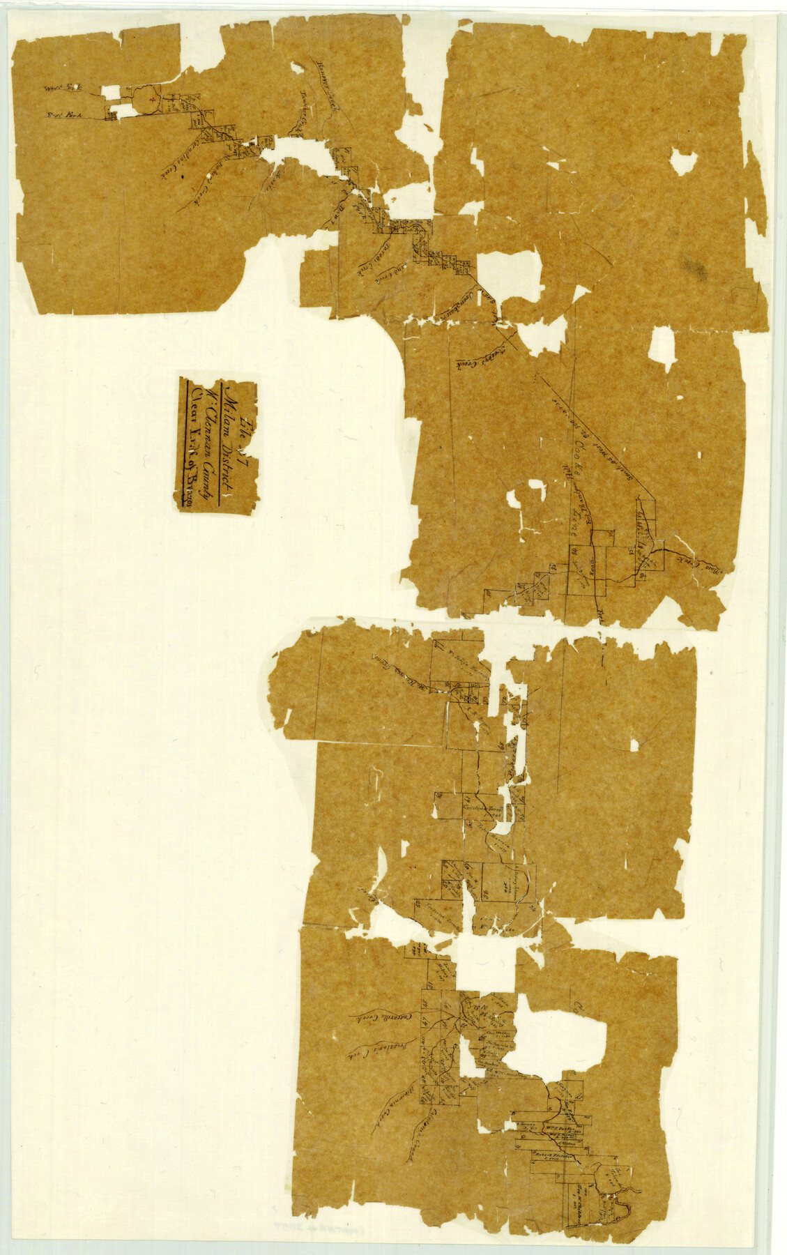
Milam District
-
Map/Doc
3859
-
Collection
General Map Collection
-
Object Dates
1854 (Creation Date)
-
Counties
McLennan
-
Subjects
District
-
Height x Width
30.2 x 18.9 inches
76.7 x 48.0 cm
Part of: General Map Collection
Terrell County Working Sketch 24

Print $20.00
- Digital $50.00
Terrell County Working Sketch 24
1942
Size 16.2 x 41.3 inches
Map/Doc 62174
Maps of Gulf Intracoastal Waterway, Texas - Sabine River to the Rio Grande and connecting waterways including ship channels

Print $20.00
- Digital $50.00
Maps of Gulf Intracoastal Waterway, Texas - Sabine River to the Rio Grande and connecting waterways including ship channels
1966
Size 14.6 x 20.5 inches
Map/Doc 62000
Dimmit County Rolled Sketch 16

Print $40.00
- Digital $50.00
Dimmit County Rolled Sketch 16
1964
Size 30.5 x 48.3 inches
Map/Doc 8798
Kinney County Working Sketch 46

Print $20.00
- Digital $50.00
Kinney County Working Sketch 46
1978
Size 44.3 x 35.1 inches
Map/Doc 70228
Ector County Working Sketch 30

Print $40.00
- Digital $50.00
Ector County Working Sketch 30
1971
Size 43.2 x 64.1 inches
Map/Doc 68873
Levee Improvement Districts Widths of Floodways - Sulphur River and Cuthand Creek

Print $20.00
- Digital $50.00
Levee Improvement Districts Widths of Floodways - Sulphur River and Cuthand Creek
1924
Size 15.4 x 38.6 inches
Map/Doc 65155
Panola County Sketch File 7

Print $4.00
- Digital $50.00
Panola County Sketch File 7
Size 7.7 x 9.9 inches
Map/Doc 33457
Erath County Working Sketch 43

Print $20.00
- Digital $50.00
Erath County Working Sketch 43
1981
Size 19.6 x 15.7 inches
Map/Doc 69124
Sulphur River, North Extension, Turner Lake Sheet

Print $4.00
- Digital $50.00
Sulphur River, North Extension, Turner Lake Sheet
1922
Size 17.8 x 18.6 inches
Map/Doc 65158

Interfaith's Official Map: The Woodlands, a real hometown for people and companies

Interfaith's Official Map: The Woodlands, a real hometown for people and companies
1997
Size 22.4 x 36.5 inches
Map/Doc 94286
Brazoria County Working Sketch 16

Print $20.00
- Digital $50.00
Brazoria County Working Sketch 16
1943
Size 35.3 x 32.3 inches
Map/Doc 67501
You may also like
[Right of Way & Track Map, The Texas & Pacific Ry. Co. Main Line]
![64688, [Right of Way & Track Map, The Texas & Pacific Ry. Co. Main Line], General Map Collection](https://historictexasmaps.com/wmedia_w700/maps/64688.tif.jpg)
Print $20.00
- Digital $50.00
[Right of Way & Track Map, The Texas & Pacific Ry. Co. Main Line]
Size 11.0 x 19.0 inches
Map/Doc 64688
Panola County Sketch File 25

Print $20.00
- Digital $50.00
Panola County Sketch File 25
1946
Size 24.1 x 21.4 inches
Map/Doc 12140
Kleberg County Working Sketch 1

Print $20.00
- Digital $50.00
Kleberg County Working Sketch 1
1925
Size 21.9 x 43.8 inches
Map/Doc 70242
Travis County Working Sketch 41

Print $20.00
- Digital $50.00
Travis County Working Sketch 41
1974
Size 34.4 x 31.3 inches
Map/Doc 69425
Map showing the environs of Brazos Island, Texas

Print $20.00
- Digital $50.00
Map showing the environs of Brazos Island, Texas
Size 18.2 x 25.0 inches
Map/Doc 72925
Map of Bell County

Print $40.00
- Digital $50.00
Map of Bell County
1896
Size 48.1 x 54.4 inches
Map/Doc 82066
Pecos County Working Sketch 10

Print $20.00
- Digital $50.00
Pecos County Working Sketch 10
1907
Size 25.9 x 23.9 inches
Map/Doc 71480
Newton County Aerial Photograph Index Sheet 6

Print $20.00
- Digital $50.00
Newton County Aerial Photograph Index Sheet 6
1953
Size 24.0 x 18.4 inches
Map/Doc 83735
United States - Gulf Coast Texas - Northern part of Laguna Madre

Print $20.00
- Digital $50.00
United States - Gulf Coast Texas - Northern part of Laguna Madre
1941
Size 18.4 x 24.2 inches
Map/Doc 72936
Bee County Working Sketch 29a

Print $20.00
- Digital $50.00
Bee County Working Sketch 29a
1988
Size 36.3 x 43.1 inches
Map/Doc 67279
Map showing survey for proposed ship channel from Brownsville to Brazos Santiago Pass

Print $20.00
- Digital $50.00
Map showing survey for proposed ship channel from Brownsville to Brazos Santiago Pass
1912
Size 18.4 x 28.4 inches
Map/Doc 72900
Kimble County Working Sketch 74

Print $20.00
- Digital $50.00
Kimble County Working Sketch 74
1966
Size 43.1 x 34.2 inches
Map/Doc 70142