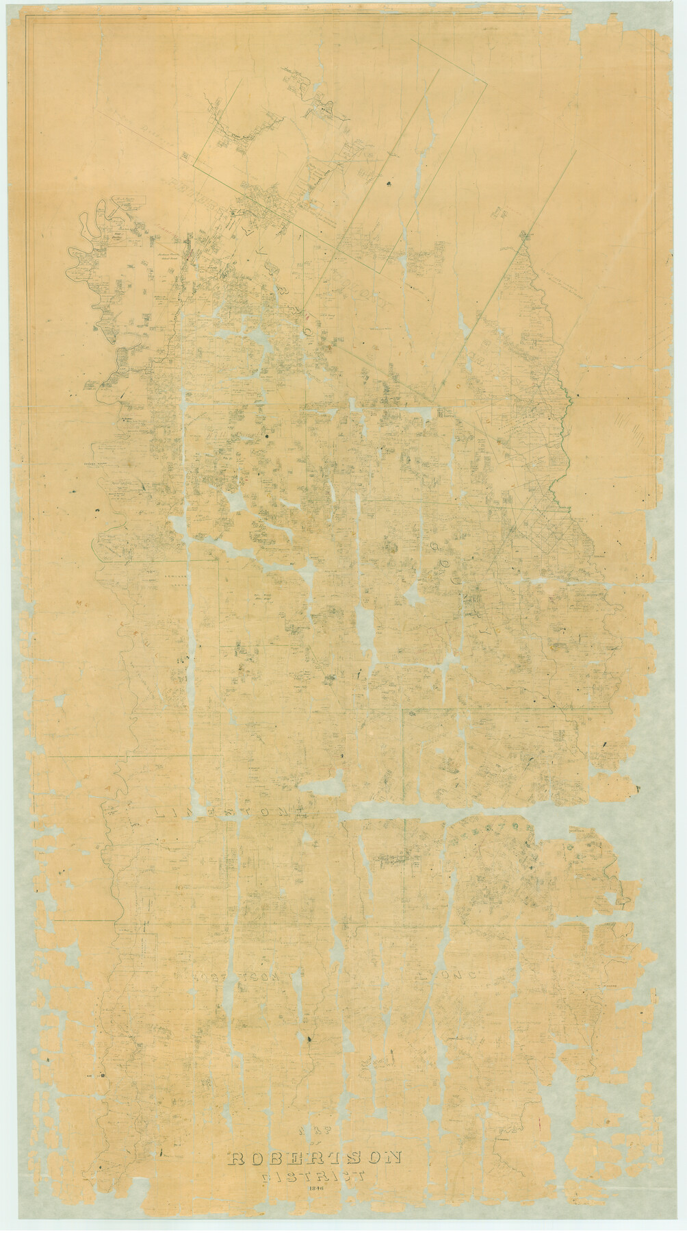
Map of Robertson District
Z-1-1
- 
                          Map/Doc3032
- 
                            CollectionGeneral Map Collection
- 
                            Object Dates1846 (Creation Date)
- 
                            CountiesRobertson
- 
                            SubjectsDistrict
- 
                            Height x Width81.3 x 45.3 inches206.5 x 115.1 cm
- 
                            CommentsConservation funded in 2001 with donation from the Robertson County Historical Commission.
Part of: General Map Collection
            Crane County Sketch File 20


                                            Print $8.00                    
                                             -                         Digital $50.00                                    
                Crane County Sketch File 20
1928
Size 11.0 x 8.5 inches
                                Map/Doc 19586
            
            Anderson County Working Sketch 43


                                            Print $20.00                    
                                             -                         Digital $50.00                                    
                Anderson County Working Sketch 43
1988
Size 37.2 x 33.9 inches
                                Map/Doc 67043
            
            Stonewall County Sketch File 23


                                            Print $6.00                    
                                             -                         Digital $50.00                                    
                Stonewall County Sketch File 23
1951
Size 11.3 x 8.9 inches
                                Map/Doc 37293
            
            Nueces County Rolled Sketch 126


                                            Print $20.00                    
                                             -                         Digital $50.00                                    
                Nueces County Rolled Sketch 126
1998
Size 24.5 x 36.8 inches
                                Map/Doc 7161
            
            Kinney County Working Sketch 58


                                            Print $20.00                    
                                             -                         Digital $50.00                                    
                Kinney County Working Sketch 58
1996
Size 36.1 x 31.7 inches
                                Map/Doc 70240
            
            Karnes County Rolled Sketch 5


                                            Print $20.00                    
                                             -                         Digital $50.00                                    
                Karnes County Rolled Sketch 5
1980
Size 40.8 x 40.2 inches
                                Map/Doc 9668
            
            [Surveys in Austin's Colony along the Colorado River]
            
                                    ![171, [Surveys in Austin's Colony along the Colorado River], General Map Collection](https://historictexasmaps.com/wmedia_w700/maps/171.tif.jpg) 


    ![171, [Surveys in Austin's Colony along the Colorado River], General Map Collection](https://historictexasmaps.com/wmedia_w700/maps/171.tif.jpg) 
                                
            
                                            Print $20.00                    
                                             -                         Digital $50.00                                    
                [Surveys in Austin's Colony along the Colorado River]
1830
Size 30.5 x 12.7 inches
                                Map/Doc 171
            
            Wichita County Working Sketch 14


                                            Print $20.00                    
                                             -                         Digital $50.00                                    
                Wichita County Working Sketch 14
1922
Size 20.8 x 42.1 inches
                                Map/Doc 72524
            
            Wheeler County Sketch File 4


                                            Print $30.00                    
                                             -                         Digital $50.00                                    
                Wheeler County Sketch File 4
1886
Size 9.1 x 8.4 inches
                                Map/Doc 40000
            
            Oldham County Rolled Sketch Z


                                            Print $20.00                    
                                             -                         Digital $50.00                                    
                Oldham County Rolled Sketch Z
Size 26.1 x 28.7 inches
                                Map/Doc 7178
            You may also like
            Gillespie County Working Sketch 9


                                            Print $20.00                    
                                             -                         Digital $50.00                                    
                Gillespie County Working Sketch 9
1994
Size 27.7 x 32.3 inches
                                Map/Doc 63172
            
            [WWI Topographic Planning Map of the Ardennes]
            
                                    ![94129, [WWI Topographic Planning Map of the Ardennes], Non-GLO Digital Images](https://historictexasmaps.com/wmedia_w700/maps/94129-1.tif.jpg) 


    ![94129, [WWI Topographic Planning Map of the Ardennes], Non-GLO Digital Images](https://historictexasmaps.com/wmedia_w700/maps/94129-1.tif.jpg) 
                                
            
                                            Print $20.00                    
                                    
                [WWI Topographic Planning Map of the Ardennes]
1918
Size 35.8 x 20.2 inches
                                Map/Doc 94129
            
            General Highway Map, Hudspeth County, Texas


                                            Print $20.00                    
                                    
                General Highway Map, Hudspeth County, Texas
1961
Size 25.1 x 18.2 inches
                                Map/Doc 79527
            
            Flight Mission No. DIX-8P, Frame 83, Aransas County


                                            Print $20.00                    
                                             -                         Digital $50.00                                    
                Flight Mission No. DIX-8P, Frame 83, Aransas County
1956
Size 18.6 x 22.3 inches
                                Map/Doc 83908
            
            Galveston County Rolled Sketch 44


                                            Print $20.00                    
                                             -                         Digital $50.00                                    
                Galveston County Rolled Sketch 44
1992
Size 30.6 x 23.7 inches
                                Map/Doc 5977
            
            Shelby County Working Sketch 31b


                                            Print $40.00                    
                                             -                         Digital $50.00                                    
                Shelby County Working Sketch 31b
2003
Size 34.0 x 70.9 inches
                                Map/Doc 78644
            
            Kinney County Sketch File 32


                                            Print $6.00                    
                                             -                         Digital $50.00                                    
                Kinney County Sketch File 32
1934
Size 11.2 x 8.8 inches
                                Map/Doc 29178
            
            Flight Mission No. DAG-26K, Frame 63, Matagorda County


                                            Print $20.00                    
                                             -                         Digital $50.00                                    
                Flight Mission No. DAG-26K, Frame 63, Matagorda County
1953
Size 18.5 x 22.2 inches
                                Map/Doc 86583
            
            Real County Working Sketch 14


                                            Print $20.00                    
                                             -                         Digital $50.00                                    
                Real County Working Sketch 14
1933
Size 30.2 x 30.5 inches
                                Map/Doc 71906
            
            Lynn County Boundary File 5


                                            Print $18.00                    
                                             -                         Digital $50.00                                    
                Lynn County Boundary File 5
Size 10.2 x 8.3 inches
                                Map/Doc 56630
            
            Rusk County Sketch File 41


                                            Print $20.00                    
                                    
                Rusk County Sketch File 41
1951
Size 23.1 x 26.2 inches
                                Map/Doc 12277
            
            [Part of North line of County, North of Block G]
            
                                    ![90803, [Part of North line of County, North of Block G], Twichell Survey Records](https://historictexasmaps.com/wmedia_w700/maps/90803-1.tif.jpg) 


    ![90803, [Part of North line of County, North of Block G], Twichell Survey Records](https://historictexasmaps.com/wmedia_w700/maps/90803-1.tif.jpg) 
                                
            
                                            Print $2.00                    
                                             -                         Digital $50.00                                    
                [Part of North line of County, North of Block G]
Size 11.8 x 4.2 inches
                                Map/Doc 90803
             
                         
                                