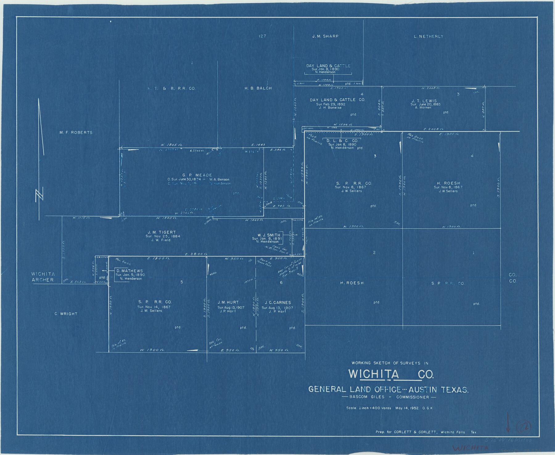
Wichita County Working Sketch 22
-
Map/Doc
72532
-
Collection
General Map Collection
-
Object Dates
5/14/1952 (Creation Date)
-
People and Organizations
Otto G. Kurio (Draftsman)
-
Counties
Wichita
-
Subjects
Surveying Working Sketch
-
Height x Width
22.2 x 27.1 inches
56.4 x 68.8 cm
-
Scale
1" = 400 varas
Part of: General Map Collection
Starr County Sketch File 20a

Print $12.00
- Digital $50.00
Starr County Sketch File 20a
1892
Size 14.3 x 8.8 inches
Map/Doc 36883
Pecos County Rolled Sketch JAS-1

Print $40.00
- Digital $50.00
Pecos County Rolled Sketch JAS-1
1936
Size 41.8 x 63.8 inches
Map/Doc 76146
Anderson County Working Sketch 14

Print $20.00
- Digital $50.00
Anderson County Working Sketch 14
1933
Size 20.3 x 26.0 inches
Map/Doc 67014
Gray County Rolled Sketch A

Print $20.00
- Digital $50.00
Gray County Rolled Sketch A
1888
Size 40.4 x 40.8 inches
Map/Doc 9008
Flight Mission No. CGI-2N, Frame 185, Cameron County

Print $20.00
- Digital $50.00
Flight Mission No. CGI-2N, Frame 185, Cameron County
1954
Size 18.5 x 22.2 inches
Map/Doc 84545
Flight Mission No. CRK-3P, Frame 178, Refugio County

Print $20.00
- Digital $50.00
Flight Mission No. CRK-3P, Frame 178, Refugio County
1956
Size 18.4 x 22.2 inches
Map/Doc 86925
Kaufman County Sketch File 16

Print $4.00
- Digital $50.00
Kaufman County Sketch File 16
Size 10.1 x 8.1 inches
Map/Doc 28655

Gray County Sketch File 13

Print $20.00
- Digital $50.00
Gray County Sketch File 13
1946
Size 16.7 x 15.9 inches
Map/Doc 11578
New Oil and Geological Map of Texas showing Oil Fields, Pipe Lines, Refineries, Geological Formations, Etc.

Print $20.00
- Digital $50.00
New Oil and Geological Map of Texas showing Oil Fields, Pipe Lines, Refineries, Geological Formations, Etc.
1920
Size 22.5 x 31.3 inches
Map/Doc 96633

Presidio County Rolled Sketch T-3

Print $20.00
- Digital $50.00
Presidio County Rolled Sketch T-3
Size 36.6 x 28.9 inches
Map/Doc 7417
You may also like
DeWitt County Working Sketch 6

Print $20.00
- Digital $50.00
DeWitt County Working Sketch 6
1977
Size 30.6 x 26.6 inches
Map/Doc 68596
Maverick County Sketch File 13

Print $14.00
- Digital $50.00
Maverick County Sketch File 13
1882
Size 12.7 x 8.0 inches
Map/Doc 31102
General Highway Map. Detail of Cities and Towns in Jim Wells County, Texas. City Map of Alice, Jim Wells County, Texas

Print $20.00
General Highway Map. Detail of Cities and Towns in Jim Wells County, Texas. City Map of Alice, Jim Wells County, Texas
1961
Size 24.6 x 18.3 inches
Map/Doc 79544
Crockett County Sketch File 93

Print $8.00
- Digital $50.00
Crockett County Sketch File 93
1887
Size 12.7 x 8.2 inches
Map/Doc 19946
Aransas Pass to Baffin Bay

Print $20.00
- Digital $50.00
Aransas Pass to Baffin Bay
1966
Size 42.3 x 34.9 inches
Map/Doc 73416
Johnson County Boundary File 1

Print $66.00
- Digital $50.00
Johnson County Boundary File 1
Size 14.1 x 8.5 inches
Map/Doc 55551
Nueces County Rolled Sketch 109

Print $20.00
- Digital $50.00
Nueces County Rolled Sketch 109
1989
Size 18.8 x 25.0 inches
Map/Doc 7116
San Saba County Sketch File 18

Print $12.00
- Digital $50.00
San Saba County Sketch File 18
1919
Size 11.4 x 8.8 inches
Map/Doc 36460
Flight Mission No. DCL-6C, Frame 115, Kenedy County

Print $20.00
- Digital $50.00
Flight Mission No. DCL-6C, Frame 115, Kenedy County
1943
Size 18.5 x 22.4 inches
Map/Doc 85945
Flight Mission No. CRC-3R, Frame 29, Chambers County

Print $20.00
- Digital $50.00
Flight Mission No. CRC-3R, Frame 29, Chambers County
1956
Size 18.6 x 22.3 inches
Map/Doc 84804
Taylor County Rolled Sketch 26

Print $20.00
- Digital $50.00
Taylor County Rolled Sketch 26
1982
Size 35.0 x 35.0 inches
Map/Doc 9987
Navarro County Boundary File 2

Print $12.00
- Digital $50.00
Navarro County Boundary File 2
Size 8.8 x 3.9 inches
Map/Doc 57608