Presidio County Rolled Sketch T-3
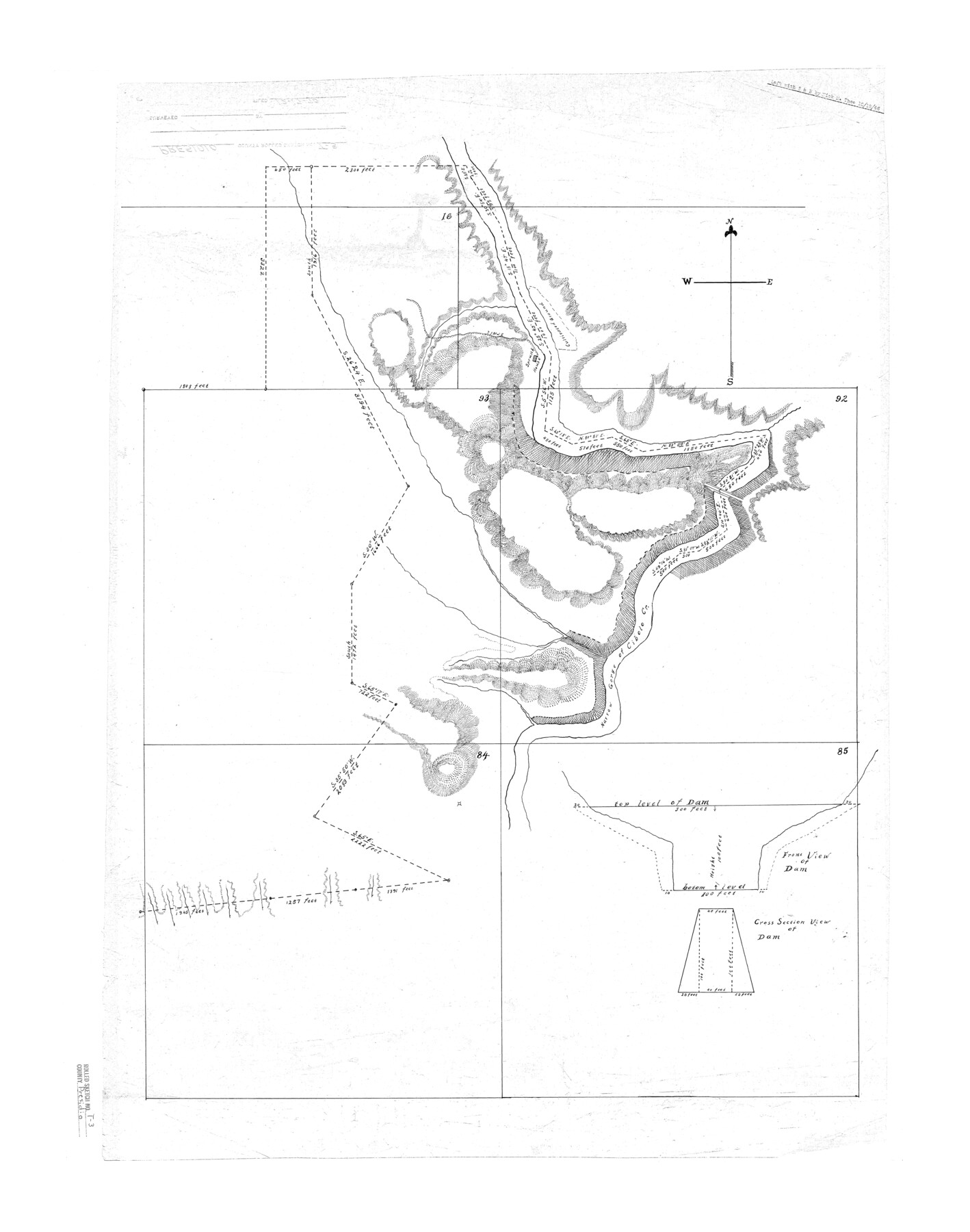
[Sketch showing narrow gorge of Cibolo Creek through surveys 84, 85, 92, and 93 and drawing of cross-section of dam]
-
Map/Doc
7417
-
Collection
General Map Collection
-
Object Dates
1970/12/17 (File Date)
-
Counties
Presidio
-
Subjects
Surveying Rolled Sketch
-
Height x Width
36.6 x 28.9 inches
93.0 x 73.4 cm
Part of: General Map Collection
Webb County Rolled Sketch 63

Print $20.00
- Digital $50.00
Webb County Rolled Sketch 63
1948
Size 39.4 x 37.0 inches
Map/Doc 10129
Uvalde County Working Sketch 65

Print $20.00
- Digital $50.00
Uvalde County Working Sketch 65
Size 34.8 x 43.0 inches
Map/Doc 69696
Flight Mission No. DCL-7C, Frame 66, Kenedy County

Print $20.00
- Digital $50.00
Flight Mission No. DCL-7C, Frame 66, Kenedy County
1943
Size 15.5 x 15.3 inches
Map/Doc 86052
Tom Green County Sketch File 87

Print $5.00
- Digital $50.00
Tom Green County Sketch File 87
1951
Size 8.7 x 11.2 inches
Map/Doc 38264

Henderson County Working Sketch 33

Print $20.00
- Digital $50.00
Henderson County Working Sketch 33
1963
Size 31.2 x 29.3 inches
Map/Doc 66166
Brazoria County Sketch File 39

Print $8.00
- Digital $50.00
Brazoria County Sketch File 39
1933
Size 11.3 x 8.8 inches
Map/Doc 15045
Upton County Working Sketch 30

Print $40.00
- Digital $50.00
Upton County Working Sketch 30
1956
Size 31.7 x 57.1 inches
Map/Doc 69526
Freestone County Working Sketch 16

Print $20.00
- Digital $50.00
Freestone County Working Sketch 16
1980
Size 47.1 x 39.7 inches
Map/Doc 69258
La Salle County Rolled Sketch 7

Print $40.00
- Digital $50.00
La Salle County Rolled Sketch 7
Size 38.7 x 48.0 inches
Map/Doc 10652
United States - Gulf Coast - From Latitude 26° 33' to the Rio Grande Texas

Print $20.00
- Digital $50.00
United States - Gulf Coast - From Latitude 26° 33' to the Rio Grande Texas
1913
Size 18.4 x 27.9 inches
Map/Doc 72842

You may also like
Kendall County Working Sketch 23

Print $20.00
- Digital $50.00
Kendall County Working Sketch 23
1974
Size 21.7 x 24.5 inches
Map/Doc 66695
Sutton County Sketch File 33a-b

Print $7.00
- Digital $50.00
Sutton County Sketch File 33a-b
1934
Size 8.4 x 8.4 inches
Map/Doc 37469

Galveston County Sketch File 43

Print $40.00
- Digital $50.00
Galveston County Sketch File 43
1915
Size 19.4 x 15.1 inches
Map/Doc 11539
Lubbock County Working Sketch 7

Print $20.00
- Digital $50.00
Lubbock County Working Sketch 7
1964
Size 21.9 x 25.3 inches
Map/Doc 70667
Frio County Working Sketch 10

Print $20.00
- Digital $50.00
Frio County Working Sketch 10
1951
Size 27.0 x 27.3 inches
Map/Doc 69284
Deaf Smith County Sketch File 1 1/2

Print $20.00
- Digital $50.00
Deaf Smith County Sketch File 1 1/2
Size 20.7 x 17.1 inches
Map/Doc 11302
Map of Burleson County, Texas

Print $20.00
- Digital $50.00
Map of Burleson County, Texas
1879
Size 16.1 x 21.1 inches
Map/Doc 667
[Capitol Leagues 217-228, 238, and vicinity]
![90672, [Capitol Leagues 217-228, 238, and vicinity], Twichell Survey Records](https://historictexasmaps.com/wmedia_w700/maps/90672-1.tif.jpg)
Print $20.00
- Digital $50.00
[Capitol Leagues 217-228, 238, and vicinity]
Size 23.0 x 9.9 inches
Map/Doc 90672
Denton County Sketch File 34

Print $4.00
- Digital $50.00
Denton County Sketch File 34
1880
Size 8.9 x 5.4 inches
Map/Doc 20764
Map of the Passo Cavallo

Print $20.00
- Digital $50.00
Map of the Passo Cavallo
1853
Size 18.0 x 27.0 inches
Map/Doc 73011
Kinney County Sketch File 16a

Print $40.00
- Digital $50.00
Kinney County Sketch File 16a
Size 12.8 x 16.0 inches
Map/Doc 29133