[Surveys near Onion Creek]
Atlas E, Page 12, Sketch 4 (E-12-4)
E-12-4
-
Map/Doc
108
-
Collection
General Map Collection
-
Object Dates
[1841] (Creation Date)
-
Counties
Hays
-
Subjects
Atlas
-
Height x Width
11.0 x 7.8 inches
27.9 x 19.8 cm
-
Medium
paper, manuscript
-
Comments
Conserved in 2004.
-
Features
Onion Creek
Part of: General Map Collection
Comanche County Working Sketch 27
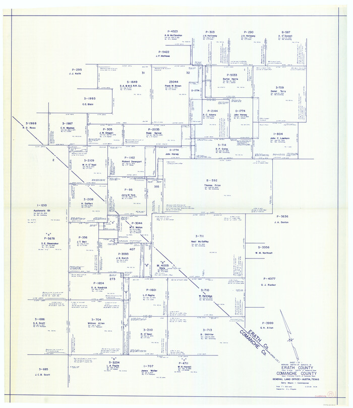

Print $40.00
- Digital $50.00
Comanche County Working Sketch 27
1983
Size 50.2 x 43.5 inches
Map/Doc 68161
Jackson County Working Sketch 5


Print $20.00
- Digital $50.00
Jackson County Working Sketch 5
1953
Size 26.2 x 26.0 inches
Map/Doc 66453
Texas Official Travel Map
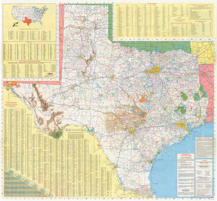

Digital $50.00
Texas Official Travel Map
Size 33.4 x 36.1 inches
Map/Doc 94304
Hardeman County Working Sketch 3
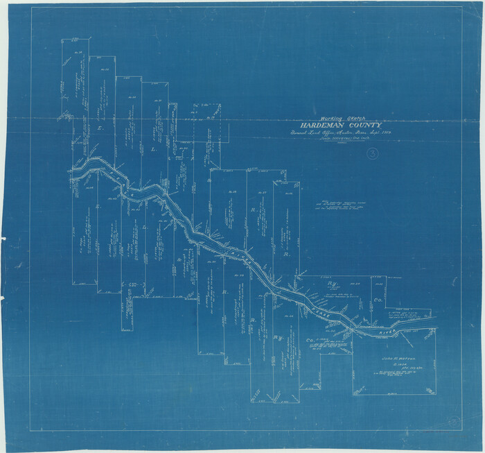

Print $20.00
- Digital $50.00
Hardeman County Working Sketch 3
1919
Size 32.7 x 35.1 inches
Map/Doc 63384
Hudspeth County Rolled Sketch 69


Print $20.00
- Digital $50.00
Hudspeth County Rolled Sketch 69
1973
Size 12.3 x 19.8 inches
Map/Doc 6264
Cameron County Rolled Sketch 17
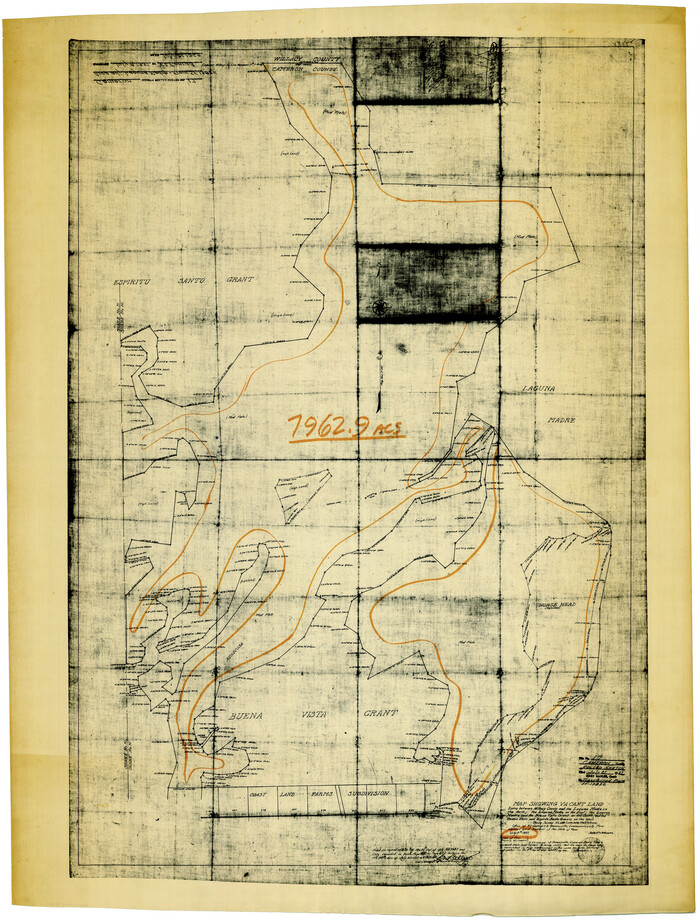

Print $40.00
- Digital $50.00
Cameron County Rolled Sketch 17
1937
Size 49.1 x 37.9 inches
Map/Doc 8570
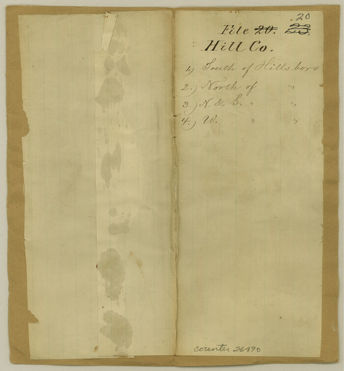
Hill County Sketch File 20

Print $22.00
- Digital $50.00
Hill County Sketch File 20
1854
Size 8.3 x 7.7 inches
Map/Doc 26490
Carta Agricola


Print $20.00
- Digital $50.00
Carta Agricola
1897
Size 26.0 x 34.3 inches
Map/Doc 96804
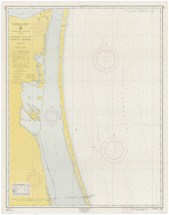
Northern Part of Laguna Madre

Print $20.00
- Digital $50.00
Northern Part of Laguna Madre
1965
Size 43.9 x 34.6 inches
Map/Doc 73527
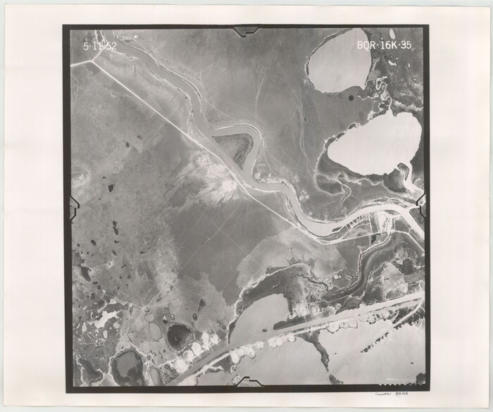
Flight Mission No. BQR-16K, Frame 35, Brazoria County

Print $20.00
- Digital $50.00
Flight Mission No. BQR-16K, Frame 35, Brazoria County
1952
Size 18.5 x 22.2 inches
Map/Doc 84102
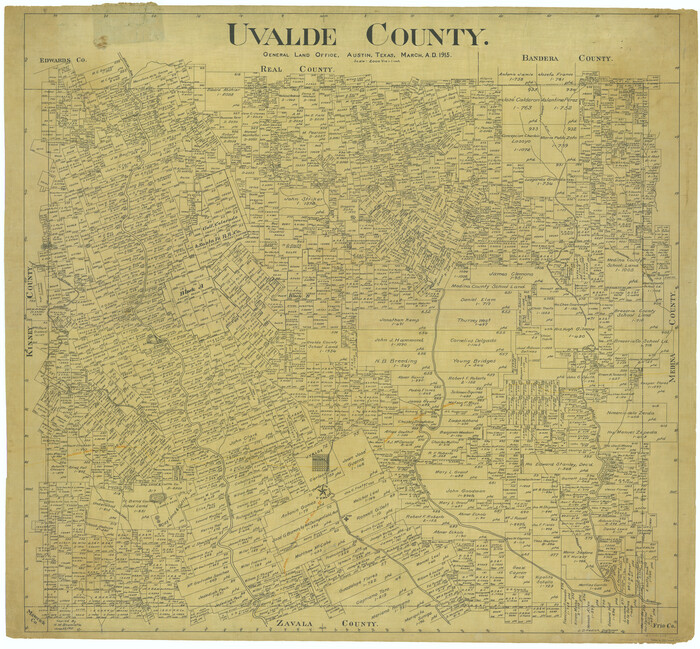
Uvalde County

Print $20.00
- Digital $50.00
Uvalde County
1915
Size 42.9 x 46.2 inches
Map/Doc 63091
Freestone County Working Sketch 14


Print $20.00
- Digital $50.00
Freestone County Working Sketch 14
1980
Size 37.4 x 38.9 inches
Map/Doc 69256
You may also like
Hansford County Working Sketch Graphic Index
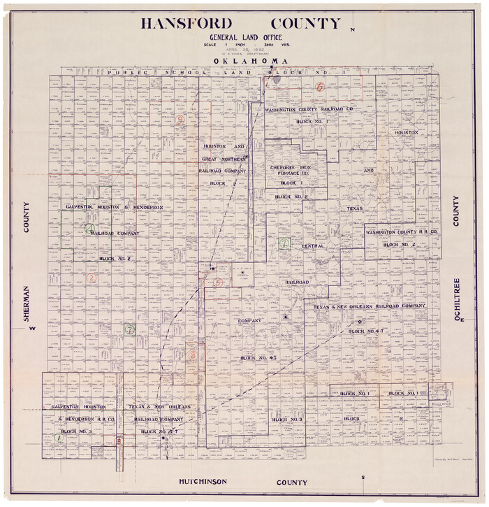

Print $20.00
- Digital $50.00
Hansford County Working Sketch Graphic Index
1932
Size 39.2 x 38.2 inches
Map/Doc 76565
Maps of Gulf Intracoastal Waterway, Texas - Sabine River to the Rio Grande and connecting waterways including ship channels
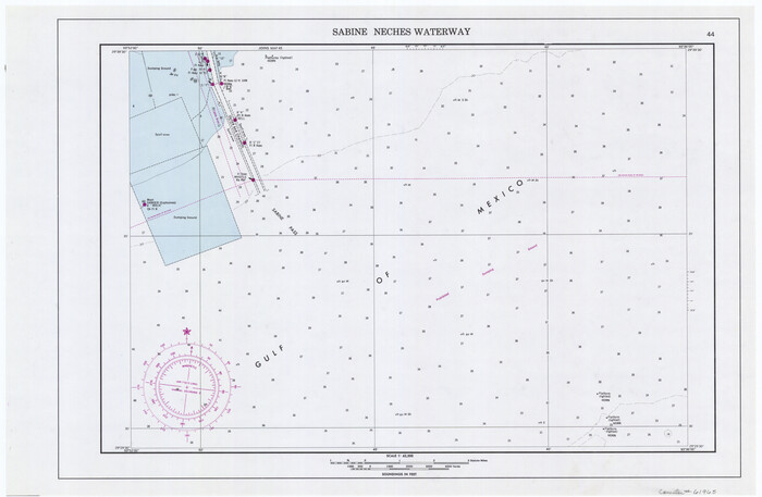

Print $20.00
- Digital $50.00
Maps of Gulf Intracoastal Waterway, Texas - Sabine River to the Rio Grande and connecting waterways including ship channels
1966
Size 14.6 x 22.3 inches
Map/Doc 61965
General Soil Map of Texas


Print $20.00
General Soil Map of Texas
1935
Size 35.2 x 46.4 inches
Map/Doc 76309
Hansford County Sketch File 13
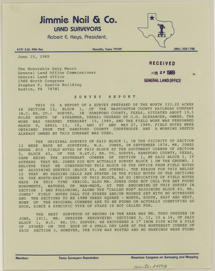

Print $12.00
- Digital $50.00
Hansford County Sketch File 13
1989
Size 11.2 x 8.8 inches
Map/Doc 24978
Stonewall County Sketch File 26


Print $20.00
- Digital $50.00
Stonewall County Sketch File 26
1953
Size 35.7 x 36.8 inches
Map/Doc 10376
Real County Boundary File 1


Print $8.00
- Digital $50.00
Real County Boundary File 1
Size 9.3 x 5.9 inches
Map/Doc 58191
Brewster County Sketch File N-26
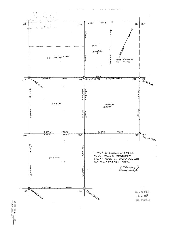

Print $40.00
- Digital $50.00
Brewster County Sketch File N-26
Size 20.5 x 15.4 inches
Map/Doc 10971
Flight Mission No. DCL-7C, Frame 133, Kenedy County


Print $20.00
- Digital $50.00
Flight Mission No. DCL-7C, Frame 133, Kenedy County
1943
Size 15.4 x 15.2 inches
Map/Doc 86090
Map of Jack County


Print $20.00
- Digital $50.00
Map of Jack County
1874
Size 20.7 x 17.6 inches
Map/Doc 3704
Duval County Sketch File 75


Print $20.00
- Digital $50.00
Duval County Sketch File 75
1935
Size 18.0 x 28.5 inches
Map/Doc 11409
Hays County Rolled Sketch 31
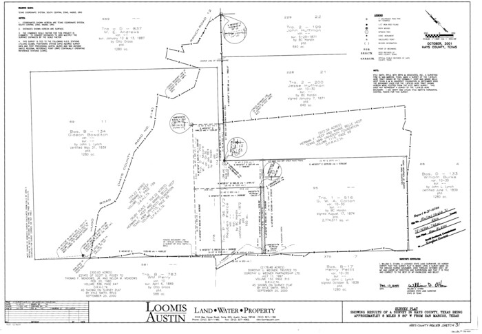

Print $20.00
- Digital $50.00
Hays County Rolled Sketch 31
2001
Size 24.0 x 34.7 inches
Map/Doc 76421
Webb County Sketch File 17


Print $20.00
- Digital $50.00
Webb County Sketch File 17
Size 13.5 x 15.4 inches
Map/Doc 12636
![108, [Surveys near Onion Creek], General Map Collection](https://historictexasmaps.com/wmedia_w1800h1800/maps/108-1.tif.jpg)