Hansford County Sketch File 13
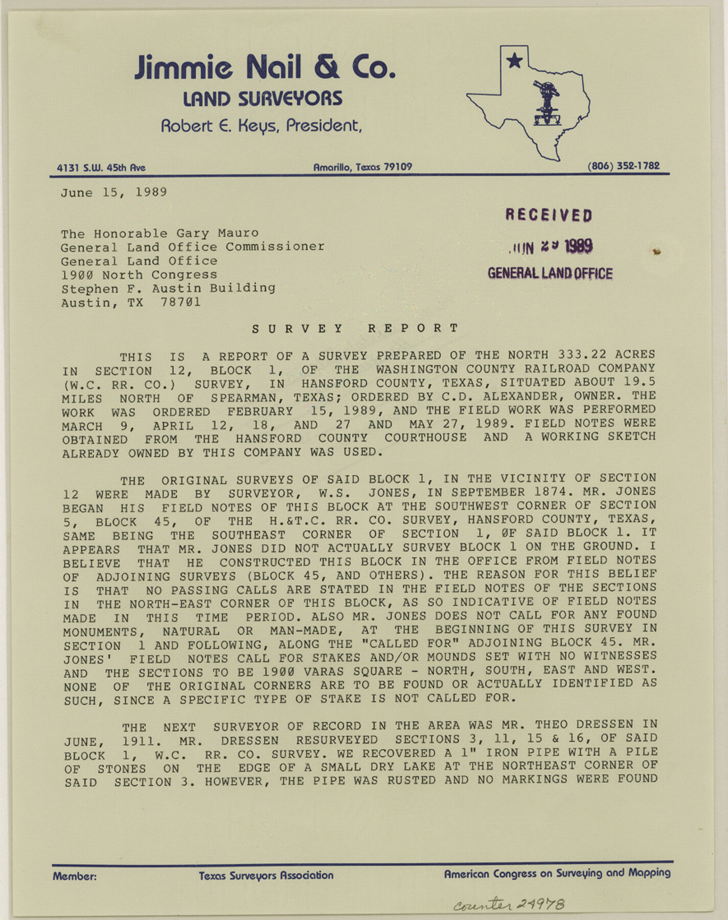
[Report of a survey prepared of the north 333.22 acres in section 12, Block 1]
-
Map/Doc
24978
-
Collection
General Map Collection
-
Object Dates
1989/5/27 (Creation Date)
1989/6/29 (File Date)
1989/6/15 (Creation Date)
1989/3/9 (Survey Date)
1989/4/27 (Survey Date)
1989/5/27 (Survey Date)
1874 (Survey Date)
1911 (Survey Date)
1920 (Survey Date)
1888/19/15 (Survey Date)
1947/11/21 (Survey Date)
-
People and Organizations
Jimmie Nail (Surveyor/Engineer)
W.S. Jones (Surveyor/Engineer)
Theo Dressen (Surveyor/Engineer)
Ralph T. Bucy (Surveyor/Engineer)
Joe L. Louy (Surveyor/Engineer)
Rupert C. Allen (Surveyor/Engineer)
-
Counties
Hansford
-
Subjects
Surveying Sketch File
-
Height x Width
11.2 x 8.8 inches
28.4 x 22.4 cm
-
Medium
paper, print
-
Features
Hackberry Creek
FM Highway 1261
Part of: General Map Collection
Flight Mission No. DQO-2K, Frame 133, Galveston County

Print $20.00
- Digital $50.00
Flight Mission No. DQO-2K, Frame 133, Galveston County
1952
Size 18.7 x 22.5 inches
Map/Doc 85030
Robertson County Working Sketch 20

Print $40.00
- Digital $50.00
Robertson County Working Sketch 20
2005
Size 27.5 x 50.0 inches
Map/Doc 83583
Reagan County Sketch File 7

Print $6.00
- Digital $50.00
Reagan County Sketch File 7
1928
Size 11.2 x 8.7 inches
Map/Doc 34986
Township No. 2 South Range No. 24 West of the Indian Meridian

Print $20.00
- Digital $50.00
Township No. 2 South Range No. 24 West of the Indian Meridian
1875
Size 19.3 x 24.4 inches
Map/Doc 75174
Duval County Sketch File 36b

Print $60.00
- Digital $50.00
Duval County Sketch File 36b
1935
Size 28.4 x 23.3 inches
Map/Doc 11393
Sterling County

Print $40.00
- Digital $50.00
Sterling County
1926
Size 48.5 x 34.7 inches
Map/Doc 63048
Real County Sketch File 15

Print $8.00
- Digital $50.00
Real County Sketch File 15
1933
Size 14.3 x 8.6 inches
Map/Doc 35069
Schleicher County Sketch File 42

Print $40.00
- Digital $50.00
Schleicher County Sketch File 42
1963
Size 16.3 x 14.4 inches
Map/Doc 36546
Map of Mexico, Guatimala and the West Indies (Inset: Map of the Country between the cities of Mexico and Vera Cruz)

Print $20.00
- Digital $50.00
Map of Mexico, Guatimala and the West Indies (Inset: Map of the Country between the cities of Mexico and Vera Cruz)
1849
Size 9.5 x 11.8 inches
Map/Doc 93500
Galveston County Sketch File 73I

Print $20.00
- Digital $50.00
Galveston County Sketch File 73I
Size 31.5 x 26.0 inches
Map/Doc 11543
Carson County Working Sketch 4

Print $20.00
- Digital $50.00
Carson County Working Sketch 4
1952
Size 26.1 x 37.0 inches
Map/Doc 67875
Val Verde County Working Sketch 72

Print $20.00
- Digital $50.00
Val Verde County Working Sketch 72
1967
Size 19.6 x 23.0 inches
Map/Doc 72207
You may also like
Fractional Township No. 7 South Range No. 3 East of the Indian Meridian, Indian Territory

Print $20.00
- Digital $50.00
Fractional Township No. 7 South Range No. 3 East of the Indian Meridian, Indian Territory
1898
Size 19.2 x 24.3 inches
Map/Doc 75206
[Red River & Southwestern Ry. Co. from Henrietta to Archer City]
![64147, [Red River & Southwestern Ry. Co. from Henrietta to Archer City], General Map Collection](https://historictexasmaps.com/wmedia_w700/maps/64147.tif.jpg)
Print $20.00
- Digital $50.00
[Red River & Southwestern Ry. Co. from Henrietta to Archer City]
Size 14.3 x 21.1 inches
Map/Doc 64147
Wise County Sketch File 5

Print $6.00
- Digital $50.00
Wise County Sketch File 5
1856
Size 8.2 x 14.0 inches
Map/Doc 40531
Lubbock County Sketch File 2

Print $4.00
- Digital $50.00
Lubbock County Sketch File 2
Size 4.7 x 9.2 inches
Map/Doc 30418
Grimes County Rolled Sketch 2

Print $20.00
- Digital $50.00
Grimes County Rolled Sketch 2
Size 29.2 x 24.3 inches
Map/Doc 6043
Pecos County Working Sketch 37

Print $20.00
- Digital $50.00
Pecos County Working Sketch 37
1939
Size 30.0 x 43.0 inches
Map/Doc 71509
Sabine County Sketch File 6

Print $6.00
Sabine County Sketch File 6
Size 3.4 x 5.8 inches
Map/Doc 35612
Polk County Sketch File 41

Print $10.00
- Digital $50.00
Polk County Sketch File 41
Size 12.7 x 8.2 inches
Map/Doc 34292
Official Map of the Highway System of Texas

Print $20.00
Official Map of the Highway System of Texas
1933
Size 26.1 x 27.0 inches
Map/Doc 79308
McLennan County Sketch File 4a

Print $6.00
- Digital $50.00
McLennan County Sketch File 4a
Size 9.2 x 7.9 inches
Map/Doc 31237
C. C. Born Farm South Half Section 91, Block C

Print $20.00
- Digital $50.00
C. C. Born Farm South Half Section 91, Block C
Size 20.5 x 12.9 inches
Map/Doc 92314
Callahan County Working Sketch 4

Print $20.00
- Digital $50.00
Callahan County Working Sketch 4
1953
Size 17.1 x 27.0 inches
Map/Doc 67886