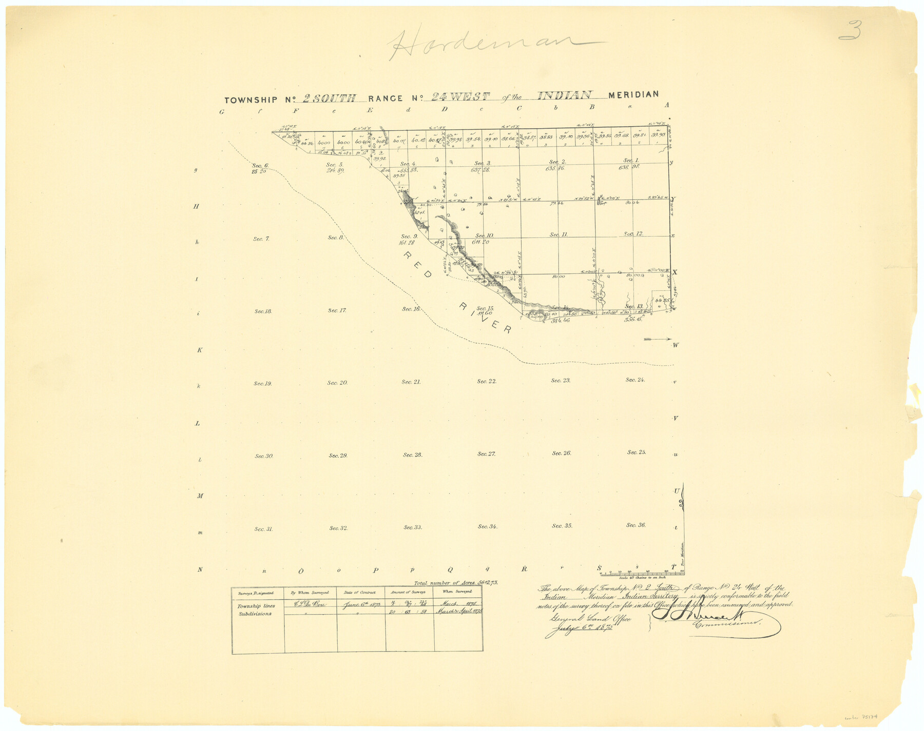
Township No. 2 South Range No. 24 West of the Indian Meridian
-
Map/Doc
75174
-
Collection
General Map Collection
-
Object Dates
1875 (Creation Date)
-
Subjects
Texas Boundaries
-
Height x Width
19.3 x 24.4 inches
49.0 x 62.0 cm
Part of: General Map Collection
Zapata County Rolled Sketch 20

Print $40.00
- Digital $50.00
Zapata County Rolled Sketch 20
1956
Size 21.2 x 49.1 inches
Map/Doc 10171

Presidio County Sketch File 71

Print $10.00
- Digital $50.00
Presidio County Sketch File 71
1942
Size 11.3 x 8.8 inches
Map/Doc 34674
Comanche County Rolled Sketch 1

Print $20.00
- Digital $50.00
Comanche County Rolled Sketch 1
1985
Size 24.1 x 18.7 inches
Map/Doc 5542
Red River County Working Sketch 13

Print $20.00
- Digital $50.00
Red River County Working Sketch 13
1947
Size 37.1 x 39.9 inches
Map/Doc 71996
Dallas County Working Sketch 11

Print $20.00
- Digital $50.00
Dallas County Working Sketch 11
1982
Size 32.2 x 23.1 inches
Map/Doc 68577
Right of Way and Track Map, the Missouri, Kansas and Texas Ry. of Texas - Henrietta Division

Print $20.00
- Digital $50.00
Right of Way and Track Map, the Missouri, Kansas and Texas Ry. of Texas - Henrietta Division
1918
Size 11.8 x 26.8 inches
Map/Doc 64755
Brewster County Rolled Sketch 59

Print $20.00
- Digital $50.00
Brewster County Rolled Sketch 59
1938
Size 32.8 x 45.2 inches
Map/Doc 8483
Galveston County Boundary File 32

Print $52.00
- Digital $50.00
Galveston County Boundary File 32
Size 16.7 x 13.6 inches
Map/Doc 53658
Frio County Rolled Sketch 22

Print $20.00
- Digital $50.00
Frio County Rolled Sketch 22
1962
Size 16.4 x 24.6 inches
Map/Doc 5923
McMullen County Sketch File 13

Print $4.00
- Digital $50.00
McMullen County Sketch File 13
1876
Size 10.0 x 8.0 inches
Map/Doc 31359
Edwards County Rolled Sketch 20

Print $20.00
- Digital $50.00
Edwards County Rolled Sketch 20
1947
Size 31.6 x 40.4 inches
Map/Doc 8844
You may also like
Childress County Sketch File 1

Print $16.00
- Digital $50.00
Childress County Sketch File 1
1877
Size 12.8 x 8.3 inches
Map/Doc 18235
Webb County Working Sketch 75

Print $40.00
- Digital $50.00
Webb County Working Sketch 75
1975
Size 59.2 x 46.0 inches
Map/Doc 72442
Hockley County Sketch File 11

Print $8.00
- Digital $50.00
Hockley County Sketch File 11
Size 14.3 x 9.0 inches
Map/Doc 26544
Rusk County Rolled Sketch 14

Print $20.00
- Digital $50.00
Rusk County Rolled Sketch 14
1997
Size 27.8 x 37.8 inches
Map/Doc 7549
Erath County Working Sketch 45

Print $20.00
- Digital $50.00
Erath County Working Sketch 45
1982
Size 25.5 x 24.8 inches
Map/Doc 69126
Rockwall County Working Sketch 1

Print $20.00
- Digital $50.00
Rockwall County Working Sketch 1
Size 12.5 x 18.4 inches
Map/Doc 63593
Flight Mission No. BRA-7M, Frame 6, Jefferson County

Print $20.00
- Digital $50.00
Flight Mission No. BRA-7M, Frame 6, Jefferson County
1953
Size 18.5 x 22.3 inches
Map/Doc 85457
Rains County Sketch File 2

Print $4.00
- Digital $50.00
Rains County Sketch File 2
Size 10.1 x 7.4 inches
Map/Doc 34945
Lee County Sketch File 7

Print $36.00
- Digital $50.00
Lee County Sketch File 7
1838
Size 3.6 x 3.5 inches
Map/Doc 29688
Kenedy County Rolled Sketch 9

Print $20.00
- Digital $50.00
Kenedy County Rolled Sketch 9
Size 27.1 x 41.7 inches
Map/Doc 6469
Val Verde County Rolled Sketch 10

Print $20.00
- Digital $50.00
Val Verde County Rolled Sketch 10
Size 22.9 x 27.8 inches
Map/Doc 8108
Pecos County Working Sketch 130

Print $20.00
- Digital $50.00
Pecos County Working Sketch 130
1976
Size 27.6 x 36.5 inches
Map/Doc 71604