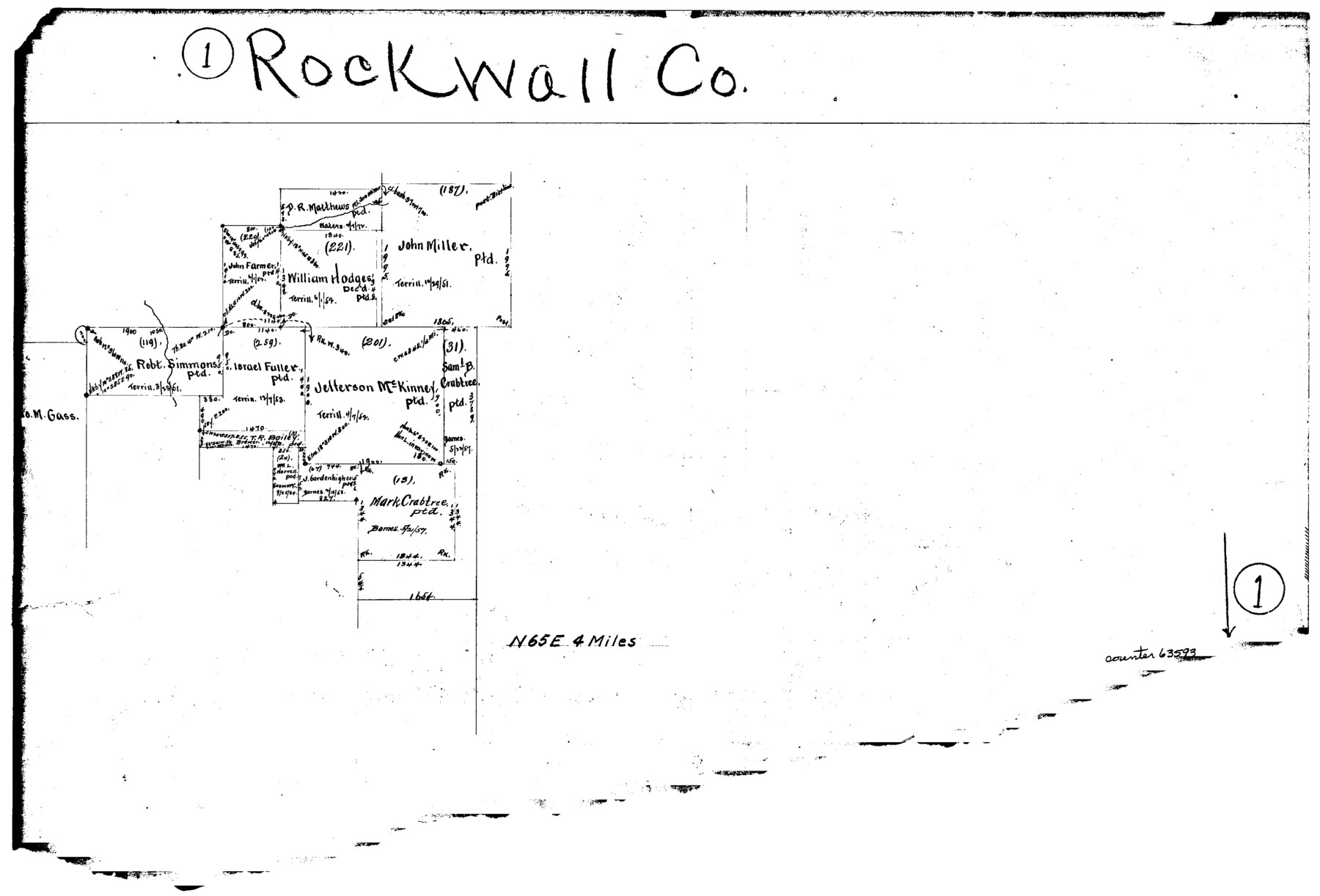
Rockwall County Working Sketch 1
-
Map/Doc
63593
-
Collection
General Map Collection
-
Counties
Rockwall
-
Subjects
Surveying Working Sketch
-
Height x Width
12.5 x 18.4 inches
31.8 x 46.7 cm
Part of: General Map Collection
Flight Mission No. BRA-8M, Frame 75, Jefferson County

Print $20.00
- Digital $50.00
Flight Mission No. BRA-8M, Frame 75, Jefferson County
1953
Size 18.6 x 22.4 inches
Map/Doc 85595
Andrews County Rolled Sketch 10

Print $40.00
- Digital $50.00
Andrews County Rolled Sketch 10
1931
Size 27.2 x 56.1 inches
Map/Doc 8389
Crockett County Working Sketch 43

Print $20.00
- Digital $50.00
Crockett County Working Sketch 43
1931
Size 26.1 x 21.7 inches
Map/Doc 68376
Bailey County

Print $20.00
- Digital $50.00
Bailey County
1913
Size 29.0 x 22.5 inches
Map/Doc 66708
Hamilton County Working Sketch 1

Print $20.00
- Digital $50.00
Hamilton County Working Sketch 1
1914
Size 17.7 x 17.8 inches
Map/Doc 63339
Harris County Working Sketch 50

Print $20.00
- Digital $50.00
Harris County Working Sketch 50
1947
Size 38.7 x 35.6 inches
Map/Doc 65942
Flight Mission No. DCL-7C, Frame 76, Kenedy County

Print $20.00
- Digital $50.00
Flight Mission No. DCL-7C, Frame 76, Kenedy County
1943
Size 15.4 x 15.1 inches
Map/Doc 86062
Eastland County Rolled Sketch 18

Print $20.00
- Digital $50.00
Eastland County Rolled Sketch 18
Size 27.3 x 25.9 inches
Map/Doc 5776
Clay County Boundary File 17a

Print $40.00
- Digital $50.00
Clay County Boundary File 17a
Size 47.0 x 22.0 inches
Map/Doc 51435

Tarrant County Working Sketch 8

Print $20.00
- Digital $50.00
Tarrant County Working Sketch 8
1982
Size 33.2 x 19.7 inches
Map/Doc 62425

You may also like
Laneer vs. Bivins, Potter County, Texas

Print $20.00
- Digital $50.00
Laneer vs. Bivins, Potter County, Texas
Size 21.2 x 19.0 inches
Map/Doc 93101
[B. S. & F. Block 9]
![91814, [B. S. & F. Block 9], Twichell Survey Records](https://historictexasmaps.com/wmedia_w700/maps/91814-1.tif.jpg)
Print $20.00
- Digital $50.00
[B. S. & F. Block 9]
Size 25.1 x 35.7 inches
Map/Doc 91814
Midland County Working Sketch 19a

Print $20.00
- Digital $50.00
Midland County Working Sketch 19a
Size 20.2 x 23.4 inches
Map/Doc 71000
[North line of T. C. RR. Blk on North County Line]
![90516, [North line of T. C. RR. Blk on North County Line], Twichell Survey Records](https://historictexasmaps.com/wmedia_w700/maps/90516-1.tif.jpg)
Print $2.00
- Digital $50.00
[North line of T. C. RR. Blk on North County Line]
Size 13.7 x 5.1 inches
Map/Doc 90516
Flight Mission No. CGI-3N, Frame 144, Cameron County

Print $20.00
- Digital $50.00
Flight Mission No. CGI-3N, Frame 144, Cameron County
1954
Size 18.8 x 22.4 inches
Map/Doc 84617
San Jacinto River and Tributaries, Texas - Survey of 1939

Print $20.00
- Digital $50.00
San Jacinto River and Tributaries, Texas - Survey of 1939
1939
Size 28.0 x 40.3 inches
Map/Doc 60305
Map of Reeves County, 1892

Print $20.00
- Digital $50.00
Map of Reeves County, 1892
1892
Size 35.8 x 46.3 inches
Map/Doc 89708
General Highway Map. Detail of Cities and Towns in Leon County, Texas

Print $20.00
General Highway Map. Detail of Cities and Towns in Leon County, Texas
1961
Size 18.1 x 24.8 inches
Map/Doc 79569
Val Verde County Working Sketch 53

Print $20.00
- Digital $50.00
Val Verde County Working Sketch 53
1956
Size 42.8 x 47.7 inches
Map/Doc 72188
Presidio County Working Sketch 87

Print $20.00
- Digital $50.00
Presidio County Working Sketch 87
1971
Size 37.6 x 37.9 inches
Map/Doc 71764
Canada, United States of America, Estados Unidos Mexicanos

Print $20.00
- Digital $50.00
Canada, United States of America, Estados Unidos Mexicanos
Size 41.9 x 36.1 inches
Map/Doc 96512
Shackelford County Working Sketch 11

Print $20.00
- Digital $50.00
Shackelford County Working Sketch 11
1993
Size 16.2 x 37.8 inches
Map/Doc 63851