[B. S. & F. Block 9]
188-43
-
Map/Doc
91814
-
Collection
Twichell Survey Records
-
Counties
Potter
-
Height x Width
25.1 x 35.7 inches
63.8 x 90.7 cm
Part of: Twichell Survey Records
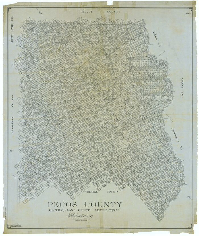
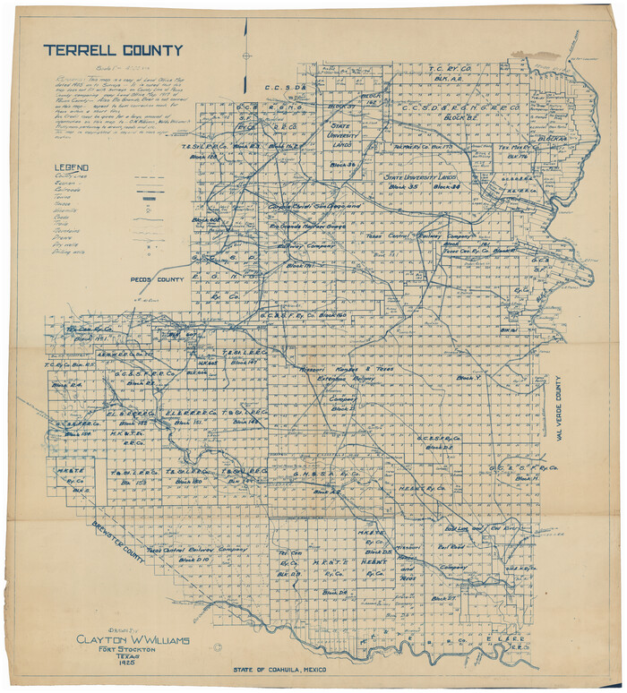
Terrell County

Print $20.00
- Digital $50.00
Terrell County
1905
Size 30.7 x 33.8 inches
Map/Doc 92806
Counties of Martin, Dawson, Borden, and Howard, Texas Soash Lands, Big Springs Ranch


Print $20.00
- Digital $50.00
Counties of Martin, Dawson, Borden, and Howard, Texas Soash Lands, Big Springs Ranch
Size 35.3 x 39.0 inches
Map/Doc 91224
[Blocks M13, S1, C3, JK3, and JK]
![90701, [Blocks M13, S1, C3, JK3, and JK], Twichell Survey Records](https://historictexasmaps.com/wmedia_w700/maps/90701-1.tif.jpg)
![90701, [Blocks M13, S1, C3, JK3, and JK], Twichell Survey Records](https://historictexasmaps.com/wmedia_w700/maps/90701-1.tif.jpg)
Print $20.00
- Digital $50.00
[Blocks M13, S1, C3, JK3, and JK]
Size 26.6 x 15.3 inches
Map/Doc 90701
[River Sections 54-73, part of Blk. GG]
![90317, [River Sections 54-73, part of Blk. GG], Twichell Survey Records](https://historictexasmaps.com/wmedia_w700/maps/90317-1.tif.jpg)
![90317, [River Sections 54-73, part of Blk. GG], Twichell Survey Records](https://historictexasmaps.com/wmedia_w700/maps/90317-1.tif.jpg)
Print $20.00
- Digital $50.00
[River Sections 54-73, part of Blk. GG]
Size 37.0 x 35.9 inches
Map/Doc 90317
Ada, Gaines County, Texas


Print $20.00
- Digital $50.00
Ada, Gaines County, Texas
Size 24.1 x 25.8 inches
Map/Doc 92689
[G. C. & S. 35, Part of H. & T. C. 49, Capitol Leagues 217, 218, 223, 224, 225]
![90687, [G. C. & S. 35, Part of H. & T. C. 49, Capitol Leagues 217, 218, 223, 224, 225], Twichell Survey Records](https://historictexasmaps.com/wmedia_w700/maps/90687-1.tif.jpg)
![90687, [G. C. & S. 35, Part of H. & T. C. 49, Capitol Leagues 217, 218, 223, 224, 225], Twichell Survey Records](https://historictexasmaps.com/wmedia_w700/maps/90687-1.tif.jpg)
Print $3.00
- Digital $50.00
[G. C. & S. 35, Part of H. & T. C. 49, Capitol Leagues 217, 218, 223, 224, 225]
1903
Size 12.4 x 11.0 inches
Map/Doc 90687
[Bastrop County School Land Leagues 313 and 314, Thos. H. Cosby League 315 and El Paso County School Land League 316 and surrounding surveys]
![90819, [Bastrop County School Land Leagues 313 and 314, Thos. H. Cosby League 315 and El Paso County School Land League 316 and surrounding surveys], Twichell Survey Records](https://historictexasmaps.com/wmedia_w700/maps/90819-2.tif.jpg)
![90819, [Bastrop County School Land Leagues 313 and 314, Thos. H. Cosby League 315 and El Paso County School Land League 316 and surrounding surveys], Twichell Survey Records](https://historictexasmaps.com/wmedia_w700/maps/90819-2.tif.jpg)
Print $3.00
- Digital $50.00
[Bastrop County School Land Leagues 313 and 314, Thos. H. Cosby League 315 and El Paso County School Land League 316 and surrounding surveys]
1898
Size 10.5 x 12.6 inches
Map/Doc 90819
[Capitol Leagues 217-228, 238, and vicinity]
![90674, [Capitol Leagues 217-228, 238, and vicinity], Twichell Survey Records](https://historictexasmaps.com/wmedia_w700/maps/90674-1.tif.jpg)
![90674, [Capitol Leagues 217-228, 238, and vicinity], Twichell Survey Records](https://historictexasmaps.com/wmedia_w700/maps/90674-1.tif.jpg)
Print $20.00
- Digital $50.00
[Capitol Leagues 217-228, 238, and vicinity]
Size 22.8 x 10.0 inches
Map/Doc 90674
[I. & G. N. Block 1, sections 64, 65, 67-71 and 545 along river]
![91604, [I. & G. N. Block 1, sections 64, 65, 67-71 and 545 along river], Twichell Survey Records](https://historictexasmaps.com/wmedia_w700/maps/91604-1.tif.jpg)
![91604, [I. & G. N. Block 1, sections 64, 65, 67-71 and 545 along river], Twichell Survey Records](https://historictexasmaps.com/wmedia_w700/maps/91604-1.tif.jpg)
Print $2.00
- Digital $50.00
[I. & G. N. Block 1, sections 64, 65, 67-71 and 545 along river]
Size 8.9 x 14.4 inches
Map/Doc 91604
[Blocks A, RG, O, B, S and 11]
![92858, [Blocks A, RG, O, B, S and 11], Twichell Survey Records](https://historictexasmaps.com/wmedia_w700/maps/92858-1.tif.jpg)
![92858, [Blocks A, RG, O, B, S and 11], Twichell Survey Records](https://historictexasmaps.com/wmedia_w700/maps/92858-1.tif.jpg)
Print $20.00
- Digital $50.00
[Blocks A, RG, O, B, S and 11]
1921
Size 25.2 x 15.5 inches
Map/Doc 92858
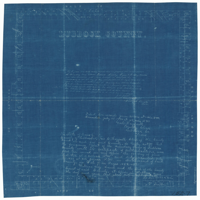
Lubbock County Lines

Print $20.00
- Digital $50.00
Lubbock County Lines
1892
Size 22.7 x 22.6 inches
Map/Doc 91308
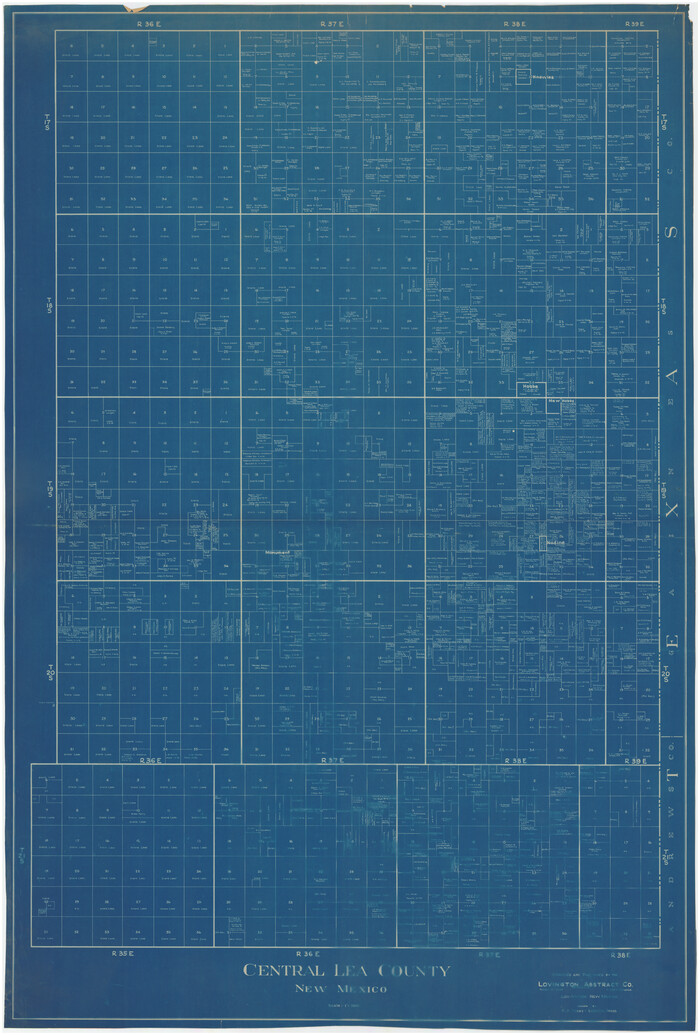
Central Lea County, New Mexico

Print $40.00
- Digital $50.00
Central Lea County, New Mexico
Size 40.6 x 60.2 inches
Map/Doc 89909
You may also like
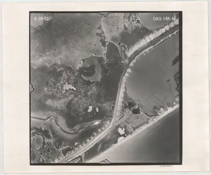
Flight Mission No. DAG-14K, Frame 41, Matagorda County

Print $20.00
- Digital $50.00
Flight Mission No. DAG-14K, Frame 41, Matagorda County
1952
Size 18.6 x 22.4 inches
Map/Doc 86299
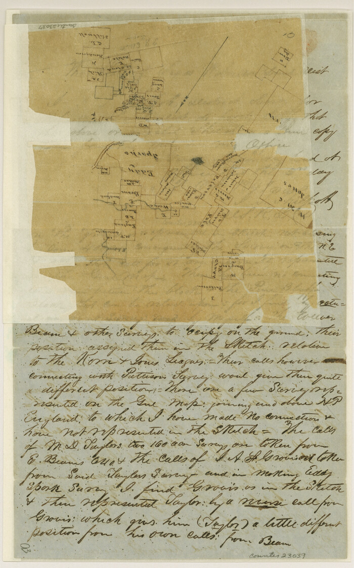
Freestone County Sketch File 2

Print $12.00
- Digital $50.00
Freestone County Sketch File 2
1849
Size 13.0 x 8.1 inches
Map/Doc 23037
[Sketch for Mineral Application 24072, San Jacinto River]
![65592, [Sketch for Mineral Application 24072, San Jacinto River], General Map Collection](https://historictexasmaps.com/wmedia_w700/maps/65592.tif.jpg)
![65592, [Sketch for Mineral Application 24072, San Jacinto River], General Map Collection](https://historictexasmaps.com/wmedia_w700/maps/65592.tif.jpg)
Print $20.00
- Digital $50.00
[Sketch for Mineral Application 24072, San Jacinto River]
1929
Size 39.7 x 21.0 inches
Map/Doc 65592
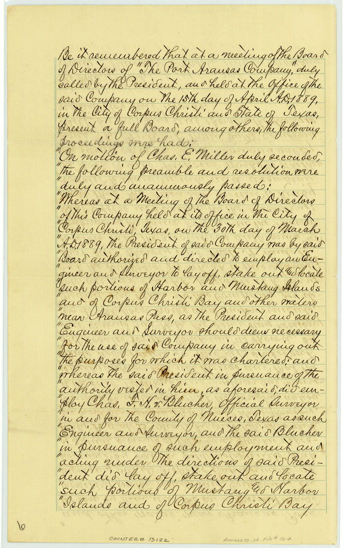
Aransas County Sketch File 12a

Print $8.00
- Digital $50.00
Aransas County Sketch File 12a
1889
Size 14.1 x 8.8 inches
Map/Doc 13122
J. De Cordova's Map of the State of Texas Compiled from the records of the General Land Office of the State


Print $20.00
- Digital $50.00
J. De Cordova's Map of the State of Texas Compiled from the records of the General Land Office of the State
1849
Size 33.7 x 36.1 inches
Map/Doc 94026
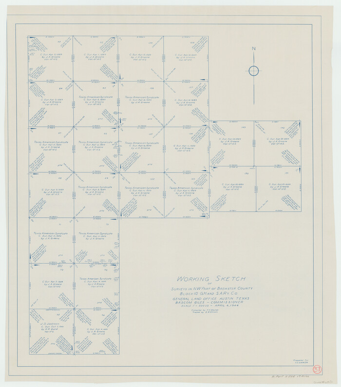
Brewster County Working Sketch 37

Print $20.00
- Digital $50.00
Brewster County Working Sketch 37
1944
Size 32.5 x 28.6 inches
Map/Doc 67571
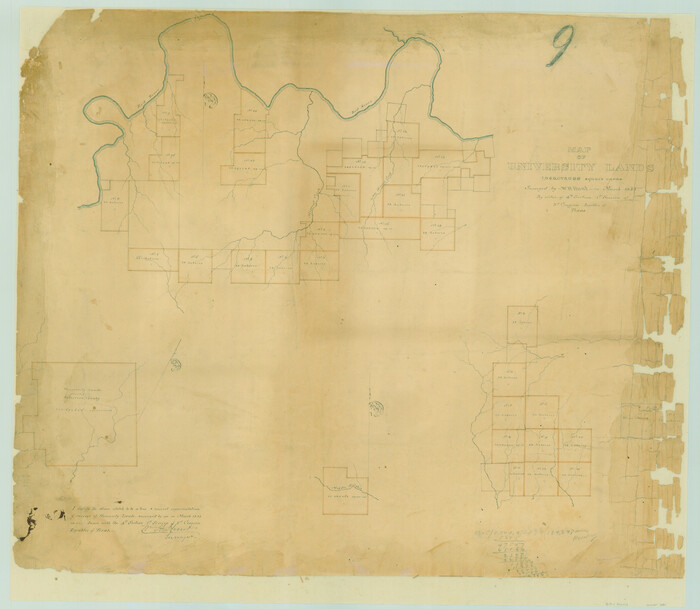
University Lands Situated in Robertson County

Print $20.00
- Digital $50.00
University Lands Situated in Robertson County
1841
Size 22.8 x 26.2 inches
Map/Doc 281
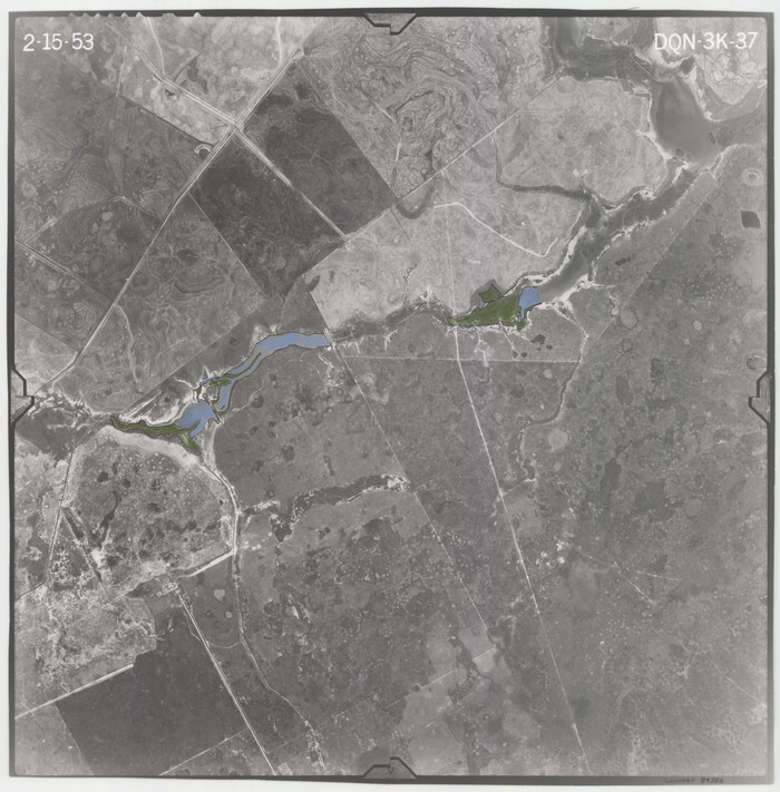
Flight Mission No. DQN-3K, Frame 37, Calhoun County

Print $20.00
- Digital $50.00
Flight Mission No. DQN-3K, Frame 37, Calhoun County
1953
Size 16.4 x 16.1 inches
Map/Doc 84350
![91814, [B. S. & F. Block 9], Twichell Survey Records](https://historictexasmaps.com/wmedia_w1800h1800/maps/91814-1.tif.jpg)

![91464, [Block B7], Twichell Survey Records](https://historictexasmaps.com/wmedia_w700/maps/91464-1.tif.jpg)
