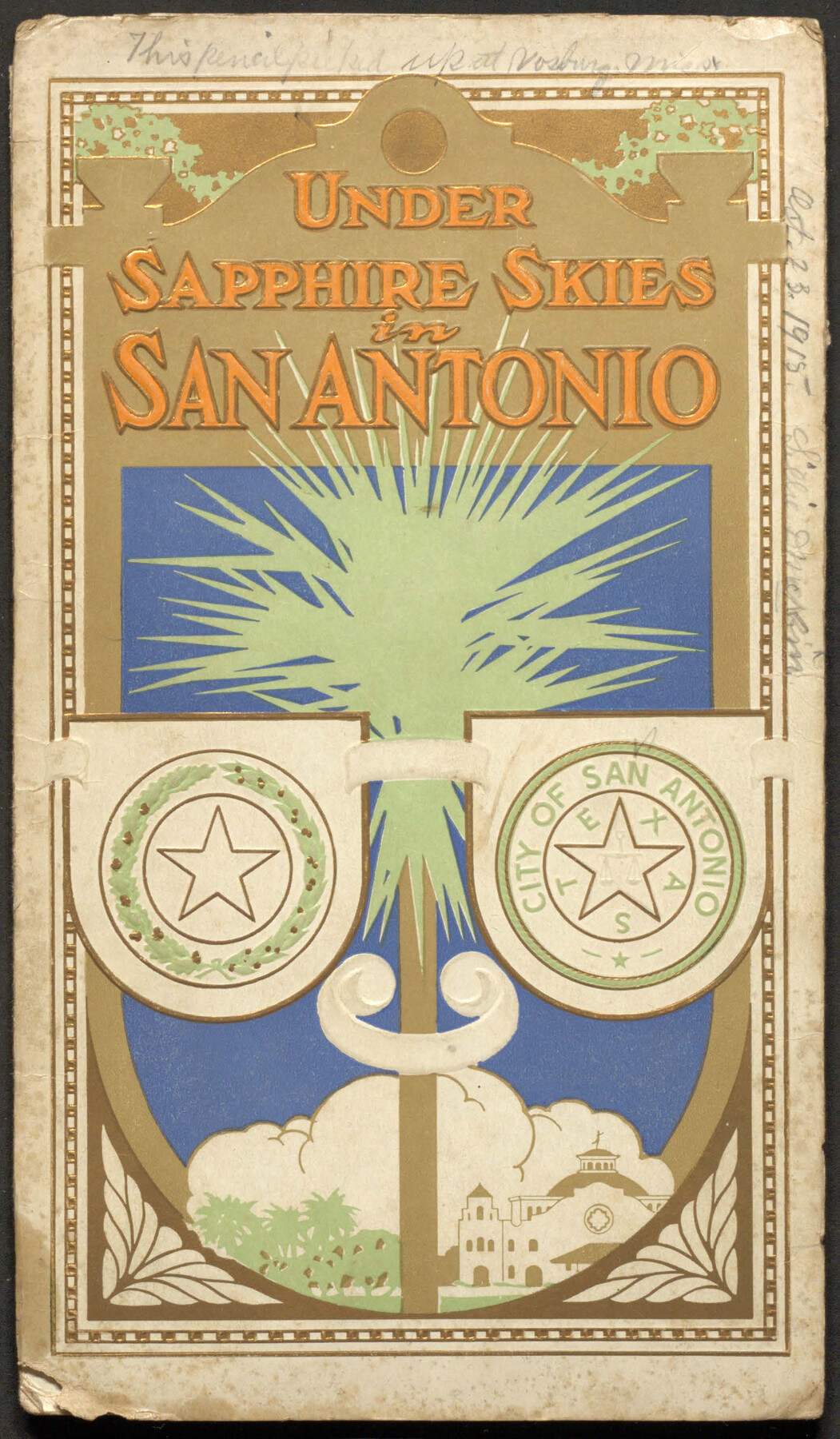
Under Sapphire Skies in San Antonio
-
Map/Doc
96784
-
Collection
Cobb Digital Map Collection
-
Object Dates
1915 (Creation Date)
-
People and Organizations
Poole Bros. (Printer)
-
Subjects
Bound Volume City Railroads
-
Medium
pdf
-
Comments
Courtesy of John & Diana Cobb.
Part of: Cobb Digital Map Collection
Rand, McNally & Co.'s Texas

Print $20.00
- Digital $50.00
Rand, McNally & Co.'s Texas
1893
Size 21.3 x 28.3 inches
Map/Doc 95842
Map of Texas with population and location of principal towns and cities according to latest reliable statistics

Print $20.00
- Digital $50.00
Map of Texas with population and location of principal towns and cities according to latest reliable statistics
1911
Size 19.4 x 21.5 inches
Map/Doc 95875
Your Opportunity - the Magic Valley - Money Will Grow on Trees! Learn Where How and Why!

Your Opportunity - the Magic Valley - Money Will Grow on Trees! Learn Where How and Why!
1928
Map/Doc 96740
A New and Correct County Map of the State of Texas

Print $20.00
- Digital $50.00
A New and Correct County Map of the State of Texas
1891
Size 22.4 x 27.3 inches
Map/Doc 95760
Galveston The Year-'Round Resort

Galveston The Year-'Round Resort
1912
Size 7.8 x 10.2 inches
Map/Doc 97058
El Paso and the New Southwest

El Paso and the New Southwest
1923
Size 11.8 x 9.0 inches
Map/Doc 97047

Timely Tips to Texas Truckers

Timely Tips to Texas Truckers
1906
Size 9.3 x 6.2 inches
Map/Doc 96609
Rail Oddities - Odd and Interesting Facts about the Railroads

Rail Oddities - Odd and Interesting Facts about the Railroads
1954
Size 9.1 x 6.1 inches
Map/Doc 96597
Map of the Missouri Pacific and St. Louis, Iron Mountain and Southern Railways and Connections

Print $20.00
- Digital $50.00
Map of the Missouri Pacific and St. Louis, Iron Mountain and Southern Railways and Connections
1898
Size 17.7 x 32.1 inches
Map/Doc 95791
State of Texas showing the Lower Rio Grande Valley

Print $20.00
- Digital $50.00
State of Texas showing the Lower Rio Grande Valley
1920
Size 14.0 x 13.4 inches
Map/Doc 95802
Geographically Correct County Map showing the lines of the Cotton Belt Route and connections

Print $20.00
- Digital $50.00
Geographically Correct County Map showing the lines of the Cotton Belt Route and connections
1898
Size 35.7 x 30.8 inches
Map/Doc 95839
You may also like
Hunt County Boundary File 2

Print $6.00
- Digital $50.00
Hunt County Boundary File 2
Size 13.0 x 8.1 inches
Map/Doc 55189
Chambers County Sketch File 21

Print $20.00
- Digital $50.00
Chambers County Sketch File 21
Size 29.3 x 32.8 inches
Map/Doc 10331
Current Miscellaneous File 1

Print $12.00
- Digital $50.00
Current Miscellaneous File 1
1945
Size 11.3 x 8.8 inches
Map/Doc 73700
Upshur County Sketch File 7

Print $4.00
- Digital $50.00
Upshur County Sketch File 7
1849
Size 8.2 x 10.2 inches
Map/Doc 38744
Red River County Sketch File 23

Print $4.00
- Digital $50.00
Red River County Sketch File 23
1901
Size 11.3 x 8.8 inches
Map/Doc 35157
Fort Bend County State Real Property Sketch 3

Print $40.00
- Digital $50.00
Fort Bend County State Real Property Sketch 3
1986
Size 34.5 x 43.6 inches
Map/Doc 61677
Presidio County Sketch File 6a

Print $2.00
- Digital $50.00
Presidio County Sketch File 6a
Size 7.9 x 6.6 inches
Map/Doc 34437
Mexico and Guatimala

Print $20.00
- Digital $50.00
Mexico and Guatimala
1828
Size 9.4 x 11.4 inches
Map/Doc 97524
Crane County Rolled Sketch 5A

Print $20.00
- Digital $50.00
Crane County Rolled Sketch 5A
1927
Size 38.0 x 46.4 inches
Map/Doc 8678
Kent County Boundary File 3

Print $8.00
- Digital $50.00
Kent County Boundary File 3
Size 11.2 x 8.6 inches
Map/Doc 55824
Map of Houston Heights, Harris County, Texas owned by the Omaha & South Texas Land Co., Houston, Texas

Print $20.00
- Digital $50.00
Map of Houston Heights, Harris County, Texas owned by the Omaha & South Texas Land Co., Houston, Texas
1891
Size 16.3 x 10.7 inches
Map/Doc 94458
Lampasas County Boundary File 14

Print $10.00
- Digital $50.00
Lampasas County Boundary File 14
Size 13.3 x 8.3 inches
Map/Doc 56198