[River Sections 54-73, part of Blk. GG]
53-30
-
Map/Doc
90317
-
Collection
Twichell Survey Records
-
People and Organizations
W.D. Twichell (Surveyor/Engineer)
-
Counties
Crockett
-
Height x Width
37.0 x 35.9 inches
94.0 x 91.2 cm
-
Medium
blueprint
-
Scale
1" = 500 varas
Part of: Twichell Survey Records
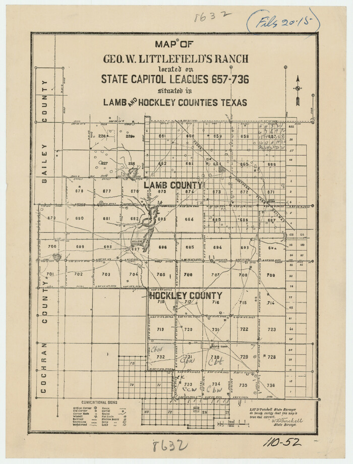
Map of George W. Littlefield's Ranch Located on State Capitol Leagues 657- 736 Situated in Lamb and Hockley Counties

Print $2.00
- Digital $50.00
Map of George W. Littlefield's Ranch Located on State Capitol Leagues 657- 736 Situated in Lamb and Hockley Counties
Size 6.3 x 8.2 inches
Map/Doc 91121
Gaines County, Texas


Print $40.00
- Digital $50.00
Gaines County, Texas
1915
Size 54.1 x 33.0 inches
Map/Doc 89843
[Northwest part of County showing surveys along Spring Creek, Harvey Creek, and Red Hollow Creek]
![90909, [Northwest part of County showing surveys along Spring Creek, Harvey Creek, and Red Hollow Creek], Twichell Survey Records](https://historictexasmaps.com/wmedia_w700/maps/90909-1.tif.jpg)
![90909, [Northwest part of County showing surveys along Spring Creek, Harvey Creek, and Red Hollow Creek], Twichell Survey Records](https://historictexasmaps.com/wmedia_w700/maps/90909-1.tif.jpg)
Print $20.00
- Digital $50.00
[Northwest part of County showing surveys along Spring Creek, Harvey Creek, and Red Hollow Creek]
Size 18.5 x 14.4 inches
Map/Doc 90909
[Sketch showing west part of county]
![91713, [Sketch showing west part of county], Twichell Survey Records](https://historictexasmaps.com/wmedia_w700/maps/91713-1.tif.jpg)
![91713, [Sketch showing west part of county], Twichell Survey Records](https://historictexasmaps.com/wmedia_w700/maps/91713-1.tif.jpg)
Print $20.00
- Digital $50.00
[Sketch showing west part of county]
Size 24.2 x 13.8 inches
Map/Doc 91713
[W. S. Mabry's maps in south part of Oldham County]
![93065, [W. S. Mabry's maps in south part of Oldham County], Twichell Survey Records](https://historictexasmaps.com/wmedia_w700/maps/93065-1.tif.jpg)
![93065, [W. S. Mabry's maps in south part of Oldham County], Twichell Survey Records](https://historictexasmaps.com/wmedia_w700/maps/93065-1.tif.jpg)
Print $20.00
- Digital $50.00
[W. S. Mabry's maps in south part of Oldham County]
Size 40.4 x 15.8 inches
Map/Doc 93065
Map Showing the Relative Positions of the Various Surveys Delineated Thereon


Print $20.00
- Digital $50.00
Map Showing the Relative Positions of the Various Surveys Delineated Thereon
Size 23.0 x 18.6 inches
Map/Doc 91500
[H. & G. N. Block 1 resurvey]
![90951, [H. & G. N. Block 1 resurvey], Twichell Survey Records](https://historictexasmaps.com/wmedia_w700/maps/90951-1.tif.jpg)
![90951, [H. & G. N. Block 1 resurvey], Twichell Survey Records](https://historictexasmaps.com/wmedia_w700/maps/90951-1.tif.jpg)
Print $20.00
- Digital $50.00
[H. & G. N. Block 1 resurvey]
1902
Size 14.7 x 17.2 inches
Map/Doc 90951
[Plat showing traverse line run from I. R. Rock at southeast corner survey 58 northerly to the I. R. Rock corner at the northeast 60]
![91597, [Plat showing traverse line run from I. R. Rock at southeast corner survey 58 northerly to the I. R. Rock corner at the northeast 60], Twichell Survey Records](https://historictexasmaps.com/wmedia_w700/maps/91597-1.tif.jpg)
![91597, [Plat showing traverse line run from I. R. Rock at southeast corner survey 58 northerly to the I. R. Rock corner at the northeast 60], Twichell Survey Records](https://historictexasmaps.com/wmedia_w700/maps/91597-1.tif.jpg)
Print $20.00
- Digital $50.00
[Plat showing traverse line run from I. R. Rock at southeast corner survey 58 northerly to the I. R. Rock corner at the northeast 60]
1935
Size 22.5 x 18.1 inches
Map/Doc 91597
[Blocks B5, B6 and Capitol Land Reservation]
![93014, [Blocks B5, B6 and Capitol Land Reservation], Twichell Survey Records](https://historictexasmaps.com/wmedia_w700/maps/93014-1.tif.jpg)
![93014, [Blocks B5, B6 and Capitol Land Reservation], Twichell Survey Records](https://historictexasmaps.com/wmedia_w700/maps/93014-1.tif.jpg)
Print $20.00
- Digital $50.00
[Blocks B5, B6 and Capitol Land Reservation]
Size 20.6 x 18.6 inches
Map/Doc 93014
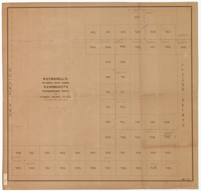
W. D. Twichell's Preliminary Report Showing R. S. Hunnicutt's Reconnoissance Survey in Parmer County, Texas November 6th to 19th, 1915

Print $20.00
- Digital $50.00
W. D. Twichell's Preliminary Report Showing R. S. Hunnicutt's Reconnoissance Survey in Parmer County, Texas November 6th to 19th, 1915
1915
Size 45.1 x 42.8 inches
Map/Doc 89803
[W. T. Brewer: M. McDonald, Ralph Gilpin, A. Vanhooser, John Baker, John R. Taylor Surveys]
![90962, [W. T. Brewer: M. McDonald, Ralph Gilpin, A. Vanhooser, John Baker, John R. Taylor Surveys], Twichell Survey Records](https://historictexasmaps.com/wmedia_w700/maps/90962-1.tif.jpg)
![90962, [W. T. Brewer: M. McDonald, Ralph Gilpin, A. Vanhooser, John Baker, John R. Taylor Surveys], Twichell Survey Records](https://historictexasmaps.com/wmedia_w700/maps/90962-1.tif.jpg)
Print $2.00
- Digital $50.00
[W. T. Brewer: M. McDonald, Ralph Gilpin, A. Vanhooser, John Baker, John R. Taylor Surveys]
Size 9.2 x 11.4 inches
Map/Doc 90962
T. C. Ivey Ranch Block D


Print $20.00
- Digital $50.00
T. C. Ivey Ranch Block D
Size 17.5 x 14.8 inches
Map/Doc 92846
You may also like
Map of Shelby County


Print $20.00
- Digital $50.00
Map of Shelby County
1863
Size 18.6 x 22.3 inches
Map/Doc 4031
Index Map No. 1 - Rio Bravo del Norte section of boundary between the United States & Mexico; agreed upon by the Joint Commission under the Treaty of Guadalupe Hidalgo


Print $20.00
- Digital $50.00
Index Map No. 1 - Rio Bravo del Norte section of boundary between the United States & Mexico; agreed upon by the Joint Commission under the Treaty of Guadalupe Hidalgo
1852
Size 18.3 x 27.5 inches
Map/Doc 72861
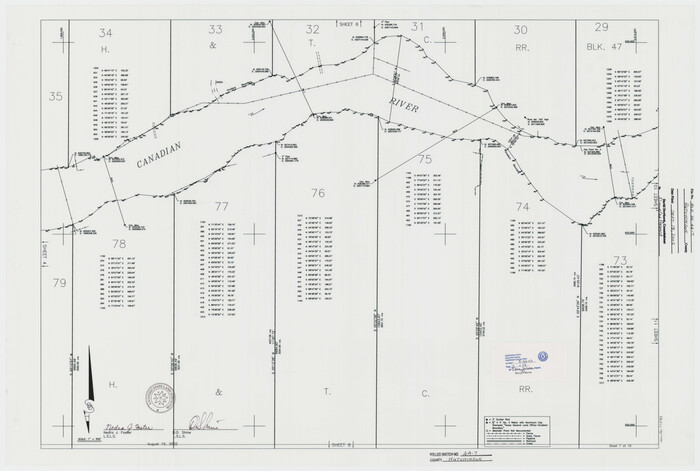
Hutchinson County Rolled Sketch 44-7

Print $20.00
- Digital $50.00
Hutchinson County Rolled Sketch 44-7
2002
Size 24.0 x 36.0 inches
Map/Doc 77543
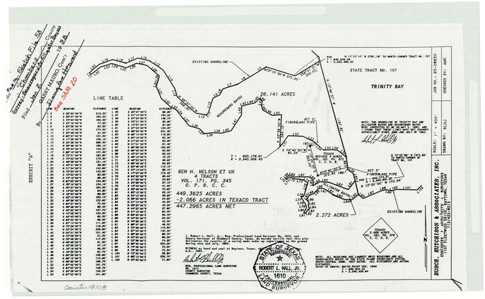
Chambers County Sketch File 58

Print $2.00
- Digital $50.00
Chambers County Sketch File 58
1995
Size 9.1 x 14.7 inches
Map/Doc 18108
Clay County Sketch File 8
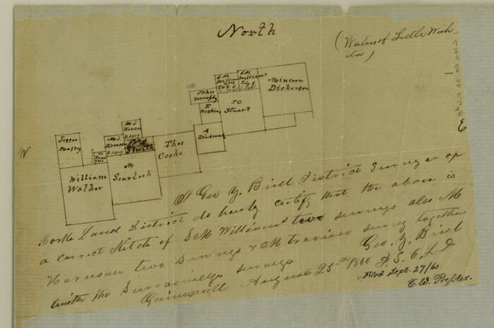

Print $4.00
- Digital $50.00
Clay County Sketch File 8
1860
Size 5.5 x 8.3 inches
Map/Doc 18398
Newton County Sketch File 6
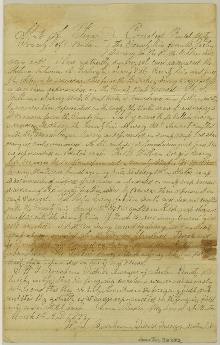

Print $4.00
- Digital $50.00
Newton County Sketch File 6
1872
Size 12.4 x 7.9 inches
Map/Doc 32372
Pecos County Working Sketch 122
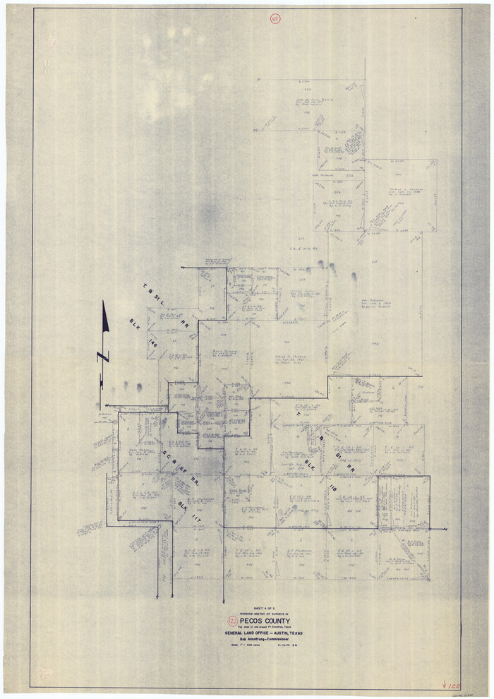

Print $40.00
- Digital $50.00
Pecos County Working Sketch 122
1973
Size 51.9 x 36.7 inches
Map/Doc 71595
Bailey County Working Sketch 2
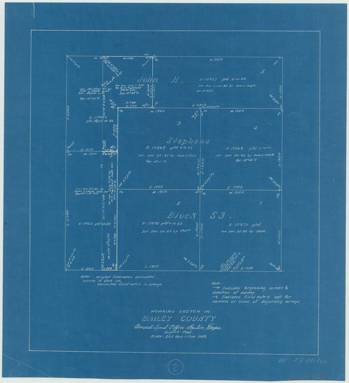

Print $20.00
- Digital $50.00
Bailey County Working Sketch 2
1920
Size 17.8 x 16.2 inches
Map/Doc 67589
Montgomery County Rolled Sketch 42


Print $20.00
- Digital $50.00
Montgomery County Rolled Sketch 42
1939
Size 14.1 x 20.3 inches
Map/Doc 6815
Crosby County Working Sketch 6
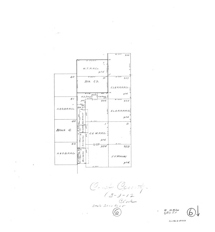

Print $20.00
- Digital $50.00
Crosby County Working Sketch 6
1912
Size 19.4 x 18.0 inches
Map/Doc 68440
Medina County Sketch File 11


Print $14.00
- Digital $50.00
Medina County Sketch File 11
1907
Size 10.4 x 6.6 inches
Map/Doc 31461
Jasper County Working Sketch 20


Print $20.00
- Digital $50.00
Jasper County Working Sketch 20
1940
Size 27.2 x 45.0 inches
Map/Doc 66482
![90317, [River Sections 54-73, part of Blk. GG], Twichell Survey Records](https://historictexasmaps.com/wmedia_w1800h1800/maps/90317-1.tif.jpg)