Hansford County Sketch File 1

Print $7.00
- Digital $50.00
Hansford County Sketch File 1
1888
Size: 39.0 x 31.3 inches
10475
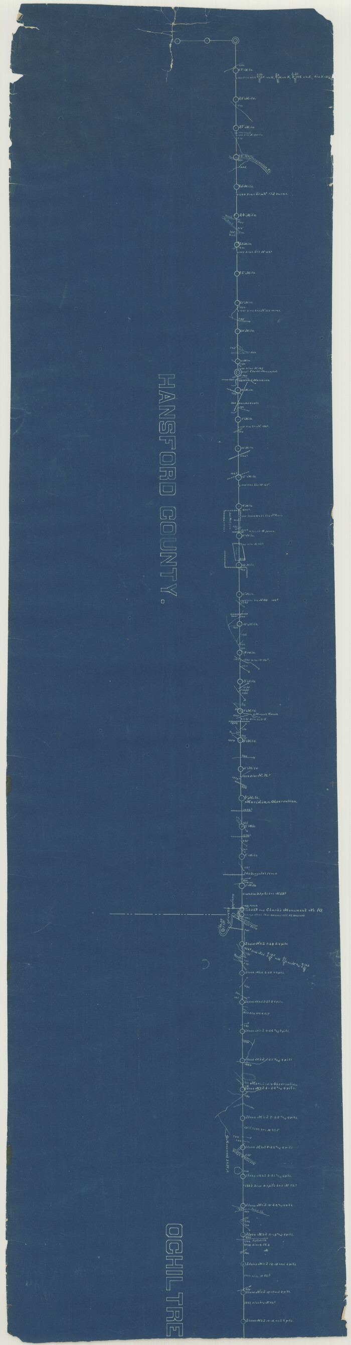
Hansford County Sketch File 2

Print $13.00
- Digital $50.00
Hansford County Sketch File 2
1901
Size: 76.7 x 25.5 inches
10476
Hutchinson County Sketch File 20m

Print $20.00
- Digital $50.00
Hutchinson County Sketch File 20m
Size: 36.2 x 43.6 inches
10501
Hutchinson County Sketch File 4a

Print $7.00
- Digital $50.00
Hutchinson County Sketch File 4a
Size: 25.9 x 43.8 inches
10625
Sherman County Rolled Sketch 6

Print $20.00
- Digital $50.00
Sherman County Rolled Sketch 6
1919
Size: 37.3 x 36.0 inches
10731
Hansford County Sketch File 3

Print $20.00
- Digital $50.00
Hansford County Sketch File 3
Size: 18.6 x 23.1 inches
11620
Hansford County Sketch File 5

Print $20.00
- Digital $50.00
Hansford County Sketch File 5
1926
Size: 19.0 x 23.0 inches
11621
Sherman County Sketch File 1

Print $20.00
- Digital $50.00
Sherman County Sketch File 1
1923
Size: 25.3 x 25.4 inches
12322
Sherman County Sketch File 2

Print $20.00
- Digital $50.00
Sherman County Sketch File 2
Size: 19.5 x 36.3 inches
12323
[Young Territory]

Print $40.00
- Digital $50.00
[Young Territory]
1875
Size: 49.0 x 87.4 inches
16784
[Texas Panhandle North Boundary Line]
Print $20.00
- Digital $50.00
[Texas Panhandle North Boundary Line]
1898
Size: 43.6 x 11.4 inches
1714
Texas Panhandle North Boundary Line

Print $40.00
- Digital $50.00
Texas Panhandle North Boundary Line
1898
Size: 13.4 x 125.2 inches
1738
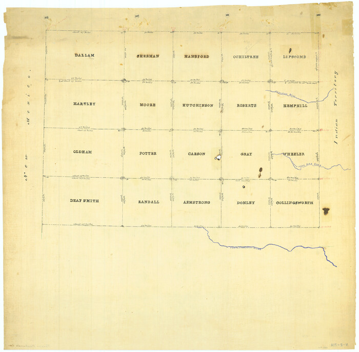
[Map Showing Panhandle Counties in Texas]
Print $20.00
- Digital $50.00
[Map Showing Panhandle Counties in Texas]
1876
Size: 27.3 x 27.9 inches
2087
Hansford County Sketch File 4

Print $4.00
- Digital $50.00
Hansford County Sketch File 4
1917
Size: 11.3 x 8.9 inches
24952
Hansford County Sketch File 6

Print $8.00
- Digital $50.00
Hansford County Sketch File 6
1926
Size: 13.6 x 9.0 inches
24954
Hansford County Sketch File 7

Print $4.00
- Digital $50.00
Hansford County Sketch File 7
1927
Size: 12.2 x 8.8 inches
24958
Hansford County Sketch File 8

Print $6.00
- Digital $50.00
Hansford County Sketch File 8
1927
Size: 11.3 x 8.7 inches
24960
Hansford County Sketch File 9

Print $33.00
- Digital $50.00
Hansford County Sketch File 9
1928
Size: 11.1 x 8.8 inches
24963
Hansford County Sketch File 10

Print $6.00
- Digital $50.00
Hansford County Sketch File 10
1931
Size: 8.2 x 8.5 inches
24969
Hansford County Sketch File 11

Print $6.00
- Digital $50.00
Hansford County Sketch File 11
Size: 11.2 x 8.7 inches
24972
Hansford County Sketch File 12

Print $6.00
- Digital $50.00
Hansford County Sketch File 12
1934
Size: 11.2 x 8.9 inches
24975
Hansford County Sketch File 13

Print $12.00
- Digital $50.00
Hansford County Sketch File 13
1989
Size: 11.2 x 8.8 inches
24978
Hutchinson County Sketch File 8

Print $8.00
- Digital $50.00
Hutchinson County Sketch File 8
1882
Size: 14.2 x 8.8 inches
27205
Hutchinson County Sketch File 23

Print $22.00
- Digital $50.00
Hutchinson County Sketch File 23
1913
Size: 11.2 x 8.8 inches
27245
Sherman County Sketch File B

Print $6.00
- Digital $50.00
Sherman County Sketch File B
1919
Size: 14.4 x 8.8 inches
36691
Hansford County Sketch File 1
Print $7.00
- Digital $50.00
Hansford County Sketch File 1
1888
-
Size
39.0 x 31.3 inches
-
Map/Doc
10475
-
Creation Date
1888
Hansford County Sketch File 2
Print $13.00
- Digital $50.00
Hansford County Sketch File 2
1901
-
Size
76.7 x 25.5 inches
-
Map/Doc
10476
-
Creation Date
1901
Hutchinson County Sketch File 20m
Print $20.00
- Digital $50.00
Hutchinson County Sketch File 20m
-
Size
36.2 x 43.6 inches
-
Map/Doc
10501
Hutchinson County Sketch File 4a
Print $7.00
- Digital $50.00
Hutchinson County Sketch File 4a
-
Size
25.9 x 43.8 inches
-
Map/Doc
10625
Sherman County Rolled Sketch 6
Print $20.00
- Digital $50.00
Sherman County Rolled Sketch 6
1919
-
Size
37.3 x 36.0 inches
-
Map/Doc
10731
-
Creation Date
1919
Hansford County Sketch File 3
Print $20.00
- Digital $50.00
Hansford County Sketch File 3
-
Size
18.6 x 23.1 inches
-
Map/Doc
11620
Hansford County Sketch File 5
Print $20.00
- Digital $50.00
Hansford County Sketch File 5
1926
-
Size
19.0 x 23.0 inches
-
Map/Doc
11621
-
Creation Date
1926
Sherman County Sketch File 1
Print $20.00
- Digital $50.00
Sherman County Sketch File 1
1923
-
Size
25.3 x 25.4 inches
-
Map/Doc
12322
-
Creation Date
1923
Sherman County Sketch File 2
Print $20.00
- Digital $50.00
Sherman County Sketch File 2
-
Size
19.5 x 36.3 inches
-
Map/Doc
12323
[Young Territory]
Print $40.00
- Digital $50.00
[Young Territory]
1875
-
Size
49.0 x 87.4 inches
-
Map/Doc
16784
-
Creation Date
1875
[Texas Panhandle North Boundary Line]
Print $20.00
- Digital $50.00
[Texas Panhandle North Boundary Line]
1898
-
Size
43.6 x 11.4 inches
-
Map/Doc
1714
-
Creation Date
1898
Texas Panhandle North Boundary Line
Print $40.00
- Digital $50.00
Texas Panhandle North Boundary Line
1898
-
Size
13.4 x 125.2 inches
-
Map/Doc
1738
-
Creation Date
1898
Hansford County

Print $20.00
- Digital $50.00
Hansford County
1932
-
Size
41.8 x 39.8 inches
-
Map/Doc
1847
-
Creation Date
1932
[Map Showing Panhandle Counties in Texas]
Print $20.00
- Digital $50.00
[Map Showing Panhandle Counties in Texas]
1876
-
Size
27.3 x 27.9 inches
-
Map/Doc
2087
-
Creation Date
1876
Hansford County Sketch File 4
Print $4.00
- Digital $50.00
Hansford County Sketch File 4
1917
-
Size
11.3 x 8.9 inches
-
Map/Doc
24952
-
Creation Date
1917
Hansford County Sketch File 6
Print $8.00
- Digital $50.00
Hansford County Sketch File 6
1926
-
Size
13.6 x 9.0 inches
-
Map/Doc
24954
-
Creation Date
1926
Hansford County Sketch File 7
Print $4.00
- Digital $50.00
Hansford County Sketch File 7
1927
-
Size
12.2 x 8.8 inches
-
Map/Doc
24958
-
Creation Date
1927
Hansford County Sketch File 8
Print $6.00
- Digital $50.00
Hansford County Sketch File 8
1927
-
Size
11.3 x 8.7 inches
-
Map/Doc
24960
-
Creation Date
1927
Hansford County Sketch File 9
Print $33.00
- Digital $50.00
Hansford County Sketch File 9
1928
-
Size
11.1 x 8.8 inches
-
Map/Doc
24963
-
Creation Date
1928
Hansford County Sketch File 10
Print $6.00
- Digital $50.00
Hansford County Sketch File 10
1931
-
Size
8.2 x 8.5 inches
-
Map/Doc
24969
-
Creation Date
1931
Hansford County Sketch File 11
Print $6.00
- Digital $50.00
Hansford County Sketch File 11
-
Size
11.2 x 8.7 inches
-
Map/Doc
24972
Hansford County Sketch File 12
Print $6.00
- Digital $50.00
Hansford County Sketch File 12
1934
-
Size
11.2 x 8.9 inches
-
Map/Doc
24975
-
Creation Date
1934
Hansford County Sketch File 13
Print $12.00
- Digital $50.00
Hansford County Sketch File 13
1989
-
Size
11.2 x 8.8 inches
-
Map/Doc
24978
-
Creation Date
1989
Hutchinson County Sketch File 8
Print $8.00
- Digital $50.00
Hutchinson County Sketch File 8
1882
-
Size
14.2 x 8.8 inches
-
Map/Doc
27205
-
Creation Date
1882
Hutchinson County Sketch File 23
Print $22.00
- Digital $50.00
Hutchinson County Sketch File 23
1913
-
Size
11.2 x 8.8 inches
-
Map/Doc
27245
-
Creation Date
1913
Hansford County

Print $20.00
- Digital $50.00
Hansford County
1878
-
Size
19.5 x 17.0 inches
-
Map/Doc
3623
-
Creation Date
1878
Hansford County

Print $20.00
- Digital $50.00
Hansford County
1889
-
Size
22.9 x 18.5 inches
-
Map/Doc
3624
-
Creation Date
1889
Sherman County Sketch File B
Print $6.00
- Digital $50.00
Sherman County Sketch File B
1919
-
Size
14.4 x 8.8 inches
-
Map/Doc
36691
-
Creation Date
1919
Hansford County

Print $20.00
- Digital $50.00
Hansford County
1889
-
Size
22.7 x 18.9 inches
-
Map/Doc
4558
-
Creation Date
1889
Hansford County

Print $20.00
- Digital $50.00
Hansford County
1902
-
Size
38.8 x 34.9 inches
-
Map/Doc
4696
-
Creation Date
1902