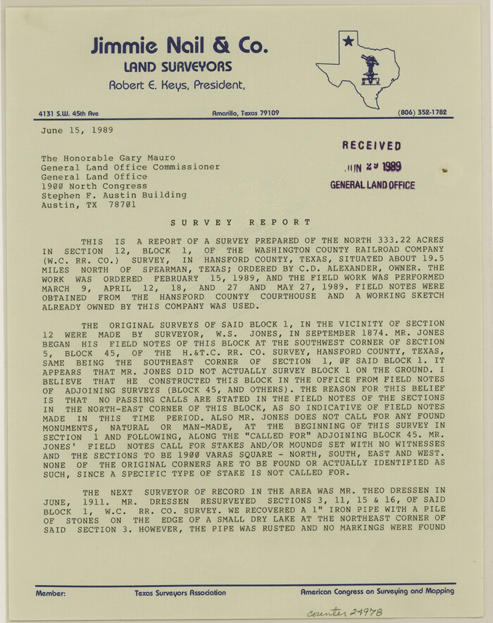
Hansford County Sketch File 13
1989
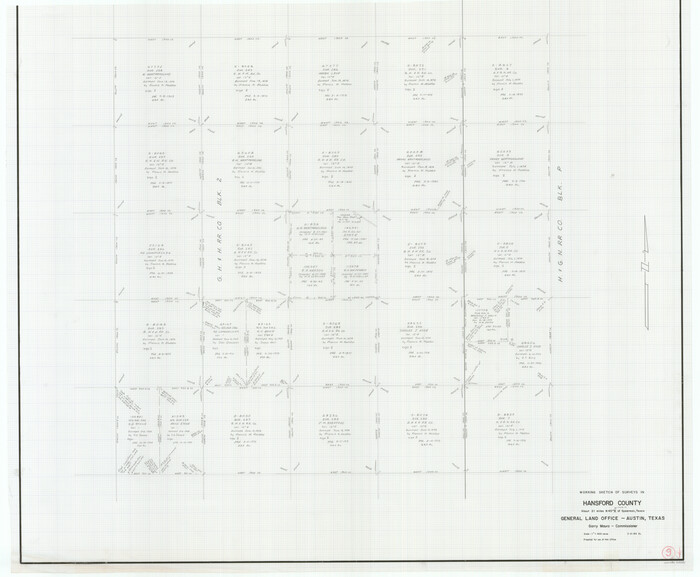
Hansford County Working Sketch 9
1984
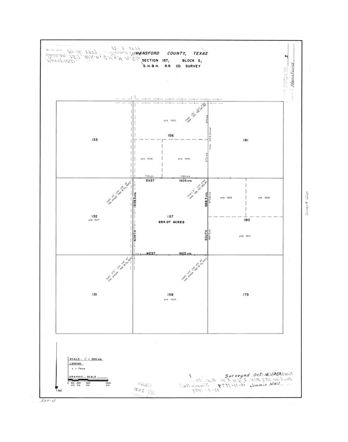
Hansford County Rolled Sketch 1
1979
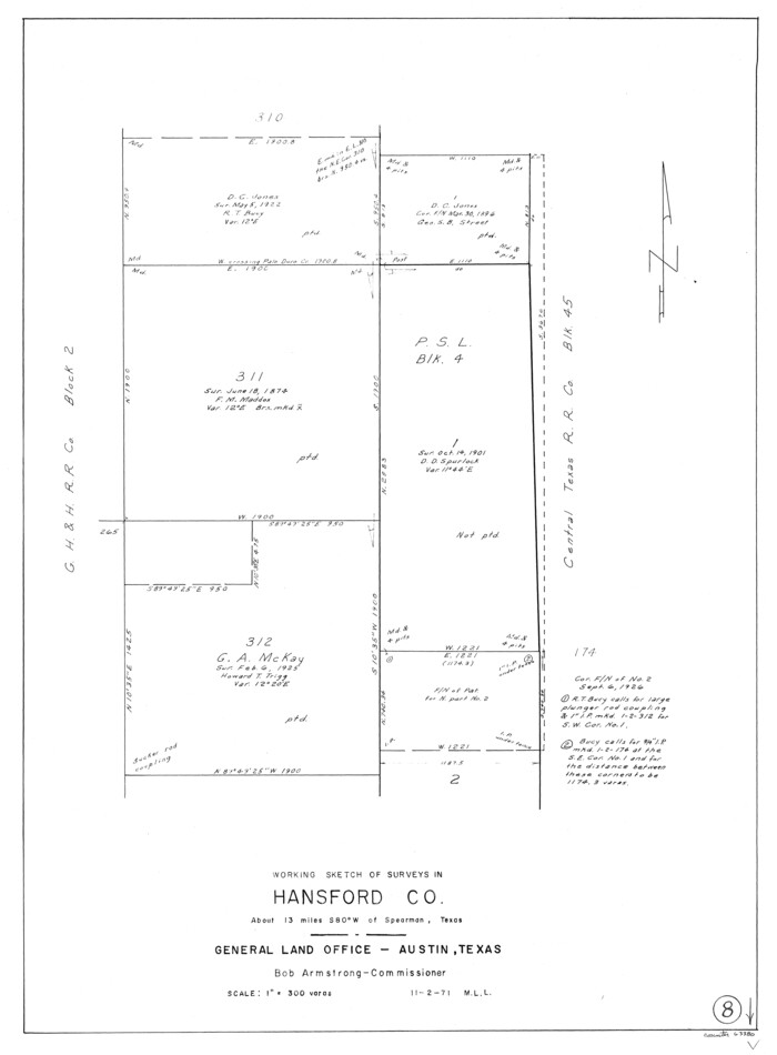
Hansford County Working Sketch 8
1971

Hansford County Working Sketch 7
1969

Hansford County Working Sketch 5
1967
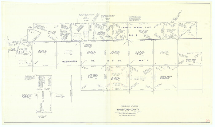
Hansford County Working Sketch 6
1967

Hutchinson County Working Sketch 23
1967
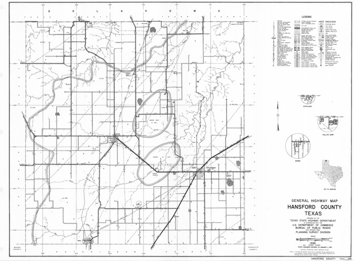
General Highway Map, Hansford County, Texas
1961
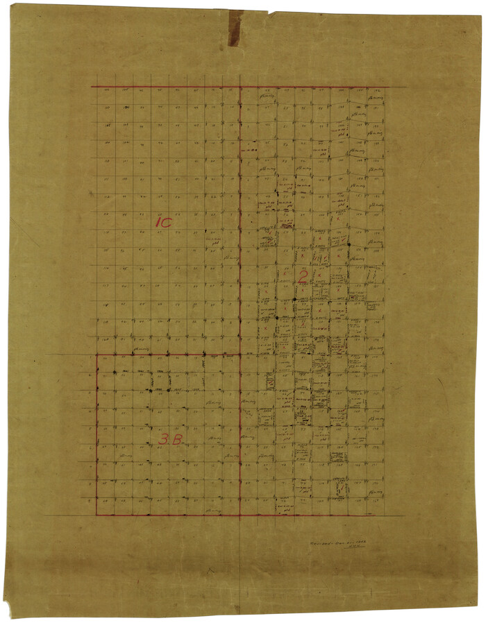
Sherman County Rolled Sketch 9
1942
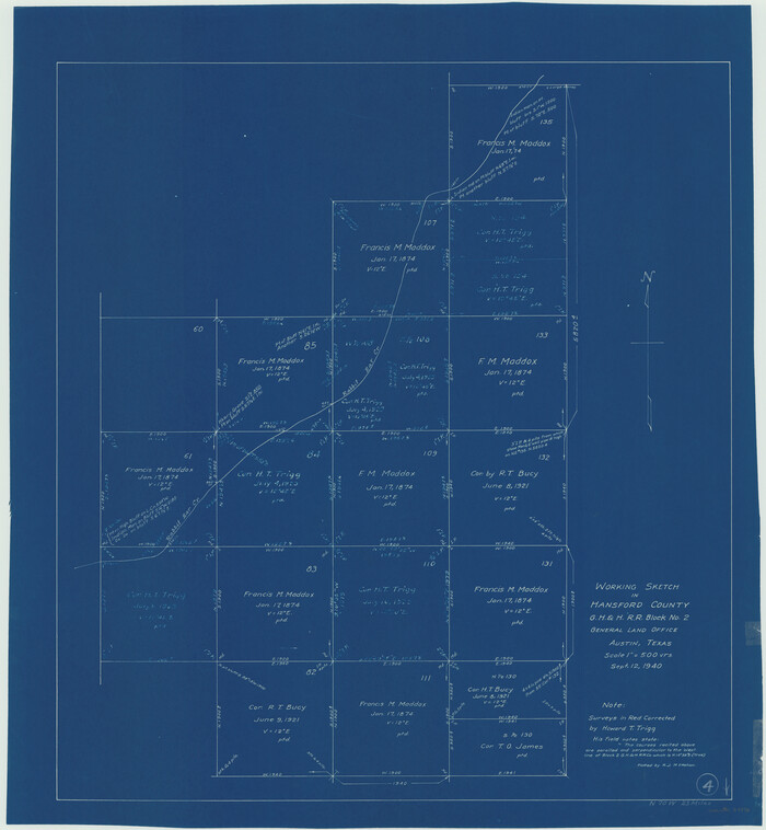
Hansford County Working Sketch 4
1940

Hansford County Working Sketch 3
1940

General Highway Map, Hansford County, Texas
1940

Hansford County Sketch File 12
1934

Hansford County Working Sketch 2
1934

Hansford County Working Sketch 1
1934
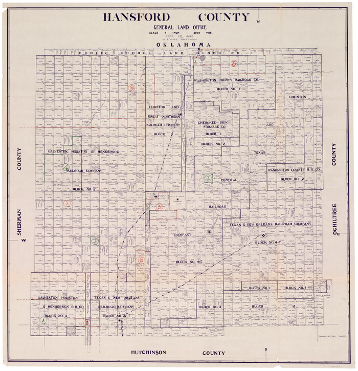
Hansford County Working Sketch Graphic Index
1932

Hansford County Sketch File 10
1931
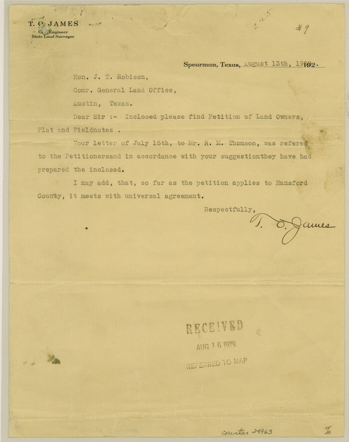
Hansford County Sketch File 9
1928
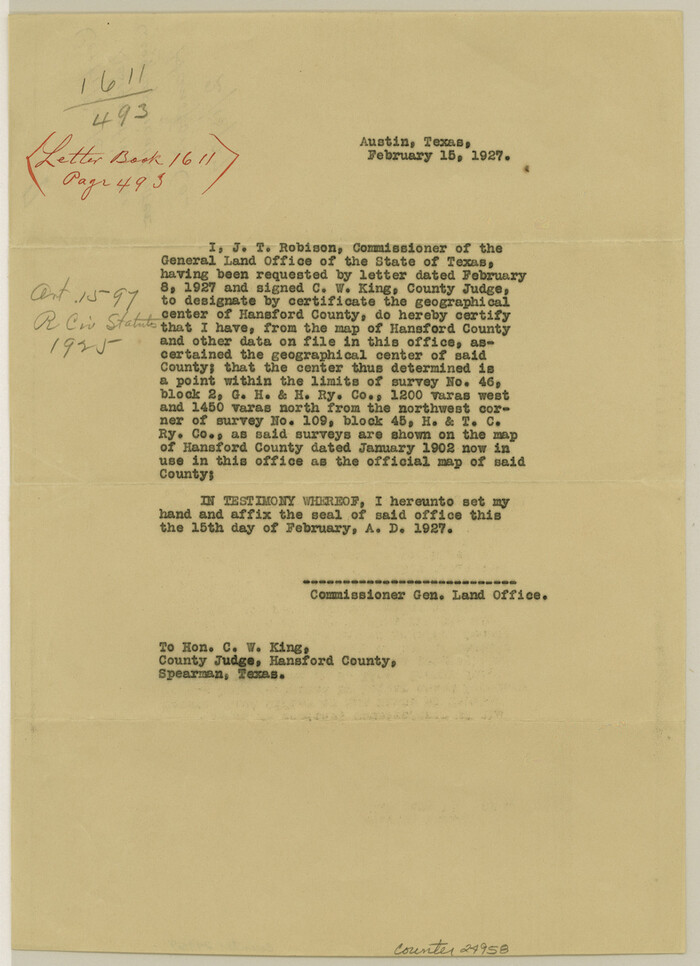
Hansford County Sketch File 7
1927
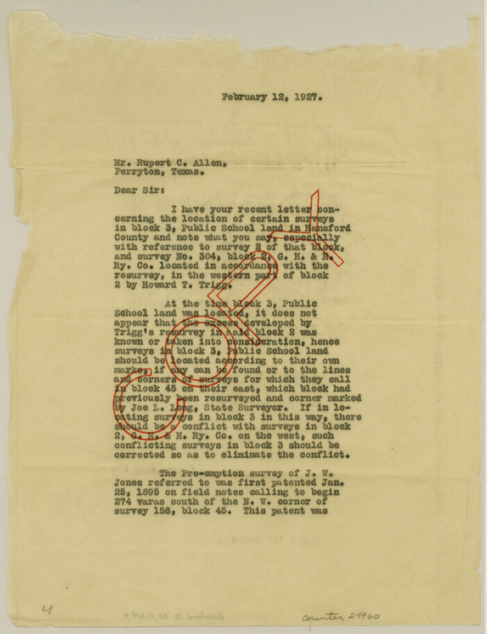
Hansford County Sketch File 8
1927
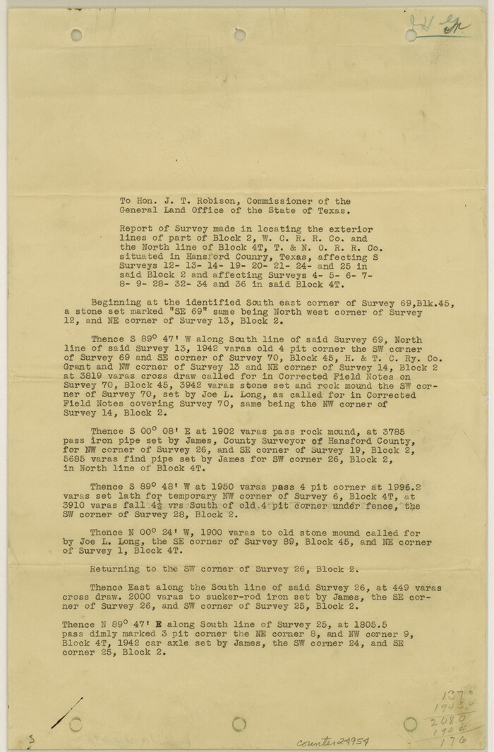
Hansford County Sketch File 6
1926
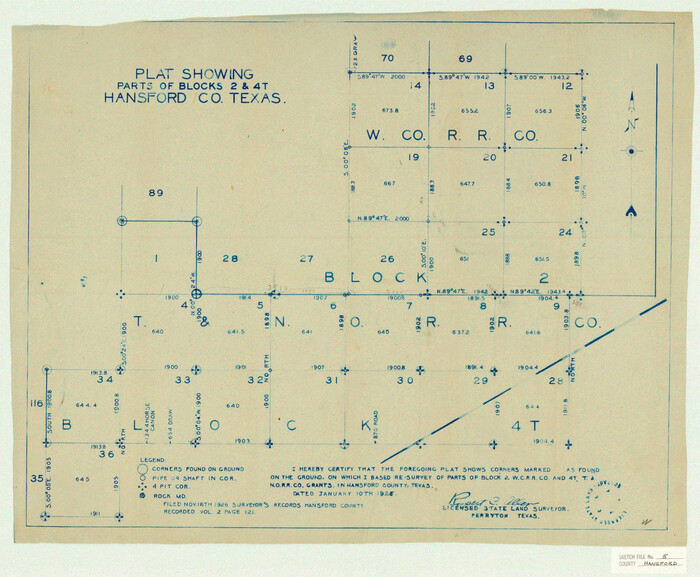
Hansford County Sketch File 5
1926
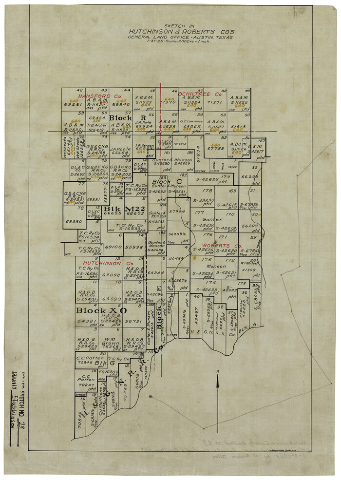
Hutchinson County Rolled Sketch 29
1925

Sherman County Sketch File 1
1923

Hansford County Sketch File 13
1989
-
Size
11.2 x 8.8 inches
-
Map/Doc
24978
-
Creation Date
1989

Hansford County Working Sketch 9
1984
-
Size
31.5 x 38.2 inches
-
Map/Doc
63381
-
Creation Date
1984

Hansford County Rolled Sketch 1
1979
-
Size
22.3 x 17.6 inches
-
Map/Doc
6064
-
Creation Date
1979

Hansford County Working Sketch 8
1971
-
Size
26.2 x 19.3 inches
-
Map/Doc
63380
-
Creation Date
1971

Hansford County Working Sketch 7
1969
-
Size
27.7 x 23.9 inches
-
Map/Doc
63379
-
Creation Date
1969

Hansford County Working Sketch 5
1967
-
Size
30.2 x 28.3 inches
-
Map/Doc
63377
-
Creation Date
1967

Hansford County Working Sketch 6
1967
-
Size
33.2 x 56.2 inches
-
Map/Doc
63378
-
Creation Date
1967

Hutchinson County Working Sketch 23
1967
-
Size
34.6 x 35.3 inches
-
Map/Doc
66383
-
Creation Date
1967

General Highway Map, Hansford County, Texas
1961
-
Size
18.0 x 24.5 inches
-
Map/Doc
79497
-
Creation Date
1961

Sherman County Rolled Sketch 9
1942
-
Size
33.5 x 26.7 inches
-
Map/Doc
7789
-
Creation Date
1942

Hansford County Working Sketch 4
1940
-
Size
27.6 x 25.4 inches
-
Map/Doc
63376
-
Creation Date
1940

Hansford County Working Sketch 3
1940
-
Size
20.5 x 16.5 inches
-
Map/Doc
63375
-
Creation Date
1940

General Highway Map, Hansford County, Texas
1940
-
Size
18.4 x 25.0 inches
-
Map/Doc
79112
-
Creation Date
1940

Hansford County Sketch File 12
1934
-
Size
11.2 x 8.9 inches
-
Map/Doc
24975
-
Creation Date
1934

Hansford County Working Sketch 2
1934
-
Size
42.7 x 54.4 inches
-
Map/Doc
63374
-
Creation Date
1934

Hansford County Working Sketch 1
1934
-
Size
43.0 x 54.1 inches
-
Map/Doc
63373
-
Creation Date
1934
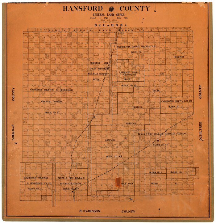
Hansford County
1932
-
Size
38.7 x 38.0 inches
-
Map/Doc
73169
-
Creation Date
1932
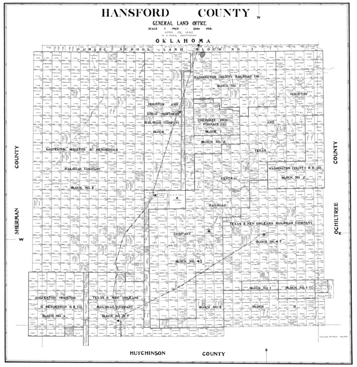
Hansford County
1932
-
Size
39.6 x 38.5 inches
-
Map/Doc
77301
-
Creation Date
1932
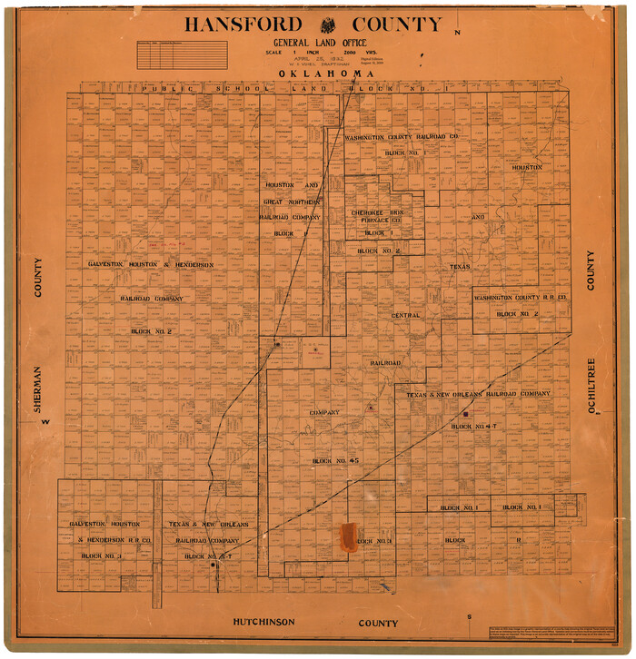
Hansford County
1932
-
Size
39.7 x 39.0 inches
-
Map/Doc
95519
-
Creation Date
1932

Hansford County
1932
-
Size
41.8 x 39.8 inches
-
Map/Doc
1847
-
Creation Date
1932

Hansford County Working Sketch Graphic Index
1932
-
Size
39.2 x 38.2 inches
-
Map/Doc
76565
-
Creation Date
1932

Hansford County Sketch File 10
1931
-
Size
8.2 x 8.5 inches
-
Map/Doc
24969
-
Creation Date
1931

Hansford County Sketch File 9
1928
-
Size
11.1 x 8.8 inches
-
Map/Doc
24963
-
Creation Date
1928

Hansford County Sketch File 7
1927
-
Size
12.2 x 8.8 inches
-
Map/Doc
24958
-
Creation Date
1927

Hansford County Sketch File 8
1927
-
Size
11.3 x 8.7 inches
-
Map/Doc
24960
-
Creation Date
1927

Hansford County Sketch File 6
1926
-
Size
13.6 x 9.0 inches
-
Map/Doc
24954
-
Creation Date
1926

Hansford County Sketch File 5
1926
-
Size
19.0 x 23.0 inches
-
Map/Doc
11621
-
Creation Date
1926
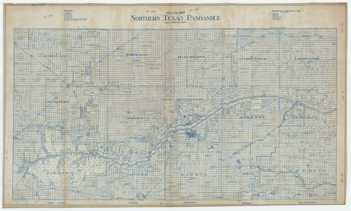
Northern Texas Panhandle
1926
-
Size
71.6 x 43.0 inches
-
Map/Doc
89915
-
Creation Date
1926

Hutchinson County Rolled Sketch 29
1925
-
Size
19.3 x 13.9 inches
-
Map/Doc
6291
-
Creation Date
1925

Sherman County Sketch File 1
1923
-
Size
25.3 x 25.4 inches
-
Map/Doc
12322
-
Creation Date
1923