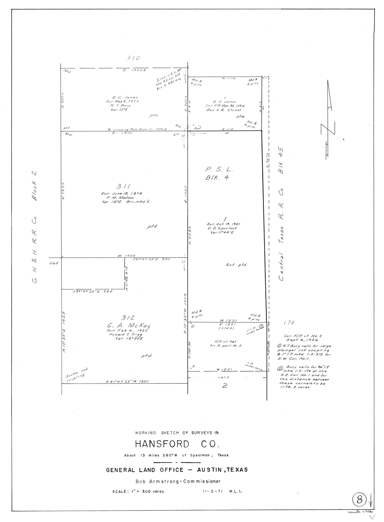
Hansford County Working Sketch 8
-
Map/Doc
63380
-
Collection
General Map Collection
-
Object Dates
11/2/1971 (Creation Date)
-
People and Organizations
M. L. Liles (Draftsman)
-
Counties
Hansford
-
Subjects
Surveying Working Sketch
-
Height x Width
26.2 x 19.3 inches
66.6 x 49.0 cm
-
Scale
1" = 300 varas
Part of: General Map Collection
Panola County Rolled Sketch 4A

Print $40.00
- Digital $50.00
Panola County Rolled Sketch 4A
1953
Size 50.7 x 26.1 inches
Map/Doc 10727
Johnson County

Print $20.00
- Digital $50.00
Johnson County
1943
Size 42.4 x 39.0 inches
Map/Doc 1868
Wheeler County Working Sketch 15

Print $20.00
- Digital $50.00
Wheeler County Working Sketch 15
1981
Size 27.9 x 29.3 inches
Map/Doc 72504


Eastland County

Print $20.00
- Digital $50.00
Eastland County
1945
Size 44.4 x 43.7 inches
Map/Doc 95486
Culberson County Sketch File 25

Print $6.00
- Digital $50.00
Culberson County Sketch File 25
Size 11.2 x 8.8 inches
Map/Doc 20259
Willacy County Rolled Sketch 2

Print $40.00
- Digital $50.00
Willacy County Rolled Sketch 2
1921
Size 30.7 x 62.9 inches
Map/Doc 10145
Live Oak County Working Sketch 7

Print $20.00
- Digital $50.00
Live Oak County Working Sketch 7
1937
Size 24.9 x 37.6 inches
Map/Doc 70592
Comal County Sketch File 2

Print $22.00
- Digital $50.00
Comal County Sketch File 2
1848
Size 13.7 x 13.3 inches
Map/Doc 18997
Right of Way & Track Map, St. Louis, Brownsville & Mexico Ry. operated by St. Louis, Brownsville & Mexico Ry. Co.

Print $40.00
- Digital $50.00
Right of Way & Track Map, St. Louis, Brownsville & Mexico Ry. operated by St. Louis, Brownsville & Mexico Ry. Co.
1919
Size 25.2 x 57.1 inches
Map/Doc 64613
El Paso County Working Sketch 21

Print $20.00
- Digital $50.00
El Paso County Working Sketch 21
1960
Size 37.8 x 30.9 inches
Map/Doc 69043
You may also like
Presidio County Sketch File 53

Print $24.00
- Digital $50.00
Presidio County Sketch File 53
1928
Size 16.6 x 8.8 inches
Map/Doc 34610
The Republic County of Galveston. December 16, 1839

Print $20.00
The Republic County of Galveston. December 16, 1839
2020
Size 14.7 x 21.9 inches
Map/Doc 96144
El Paso County Rolled Sketch 52

Print $20.00
- Digital $50.00
El Paso County Rolled Sketch 52
1929
Size 18.5 x 24.3 inches
Map/Doc 5849
Comanche County Working Sketch 2

Print $20.00
- Digital $50.00
Comanche County Working Sketch 2
1918
Size 15.0 x 21.5 inches
Map/Doc 68136
Erath County Sketch File 20

Print $4.00
- Digital $50.00
Erath County Sketch File 20
1873
Size 9.7 x 8.2 inches
Map/Doc 22300
Flight Mission No. BQR-13K, Frame 25, Brazoria County

Print $20.00
- Digital $50.00
Flight Mission No. BQR-13K, Frame 25, Brazoria County
1952
Size 18.8 x 22.4 inches
Map/Doc 84073
Howard County Sketch File 5

Print $3.00
- Digital $50.00
Howard County Sketch File 5
Size 20.0 x 12.8 inches
Map/Doc 11794
Fifteenth Census 1930 Population - Texas

Print $20.00
- Digital $50.00
Fifteenth Census 1930 Population - Texas
1930
Size 19.5 x 22.6 inches
Map/Doc 2146
Real County Working Sketch 21

Print $20.00
- Digital $50.00
Real County Working Sketch 21
1944
Size 24.8 x 35.7 inches
Map/Doc 71913
Kent County Boundary File 7

Print $6.00
- Digital $50.00
Kent County Boundary File 7
Size 10.8 x 8.7 inches
Map/Doc 55870
Floyd County Boundary File 4a

Print $40.00
- Digital $50.00
Floyd County Boundary File 4a
Size 12.2 x 35.8 inches
Map/Doc 53496
Flight Mission No. BQY-15M, Frame 17, Harris County

Print $20.00
- Digital $50.00
Flight Mission No. BQY-15M, Frame 17, Harris County
1953
Size 18.5 x 22.2 inches
Map/Doc 85315