Block No. 45 of the H. & T. C. R.R. Co. and Block No. 4T of the T. & N. O. R.R. Co. in Hansford and Ochiltree Cos. as resurveyed by J.L. Long, State Surveyor


Print $20.00
- Digital $50.00
Block No. 45 of the H. & T. C. R.R. Co. and Block No. 4T of the T. & N. O. R.R. Co. in Hansford and Ochiltree Cos. as resurveyed by J.L. Long, State Surveyor
1888
Size: 34.1 x 28.1 inches
75820
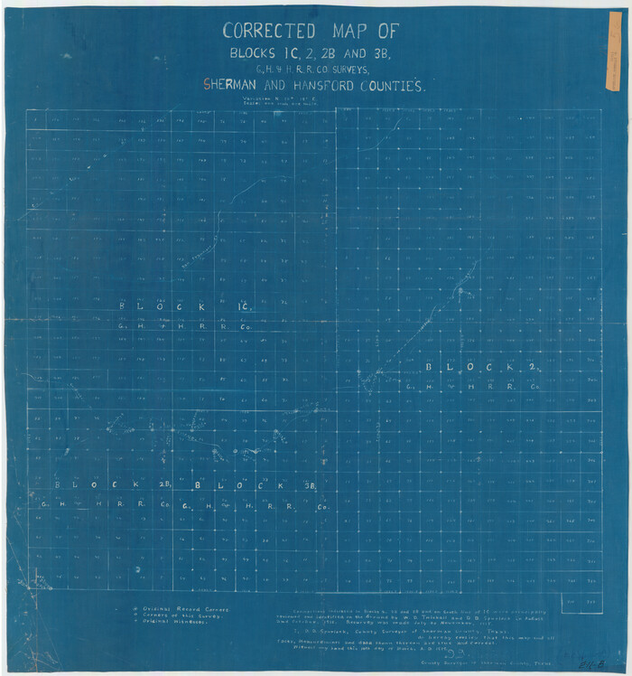
Corrected Map of Blocks 1C, 2, 2B and 3B, G. H. & H. RR. Co. Surveys, Sherman and Hansford Counties

Print $20.00
- Digital $50.00
Corrected Map of Blocks 1C, 2, 2B and 3B, G. H. & H. RR. Co. Surveys, Sherman and Hansford Counties
1919
Size: 32.0 x 34.3 inches
91924
General Highway Map, Hansford County, Texas


Print $20.00
General Highway Map, Hansford County, Texas
1940
Size: 18.4 x 25.0 inches
79112
General Highway Map, Hansford County, Texas
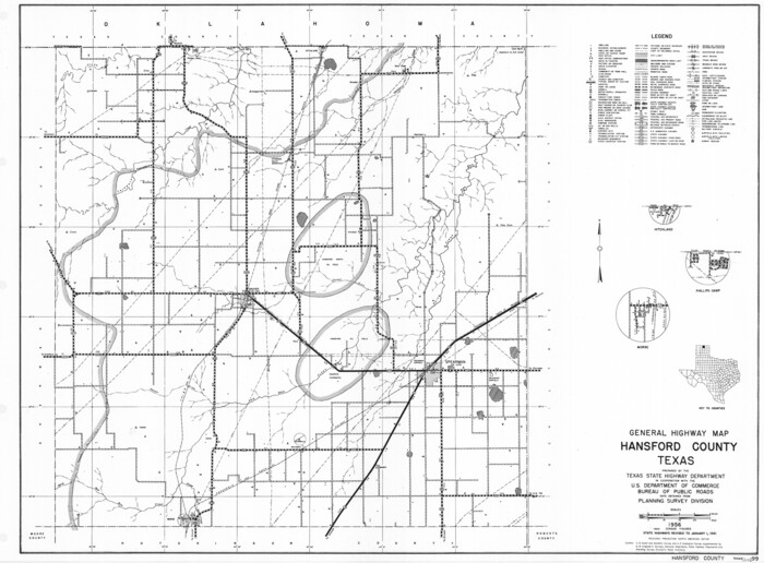

Print $20.00
General Highway Map, Hansford County, Texas
1961
Size: 18.0 x 24.5 inches
79497
Hansford County Boundary File 1


Print $24.00
- Digital $50.00
Hansford County Boundary File 1
Size: 9.2 x 8.6 inches
54232
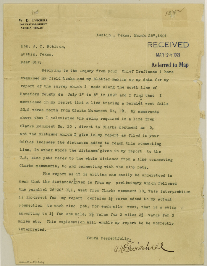
Hansford County Boundary File 1a

Print $2.00
- Digital $50.00
Hansford County Boundary File 1a
Size: 11.2 x 8.8 inches
54244
Hansford County Boundary File 2


Print $14.00
- Digital $50.00
Hansford County Boundary File 2
Size: 9.3 x 4.9 inches
54245
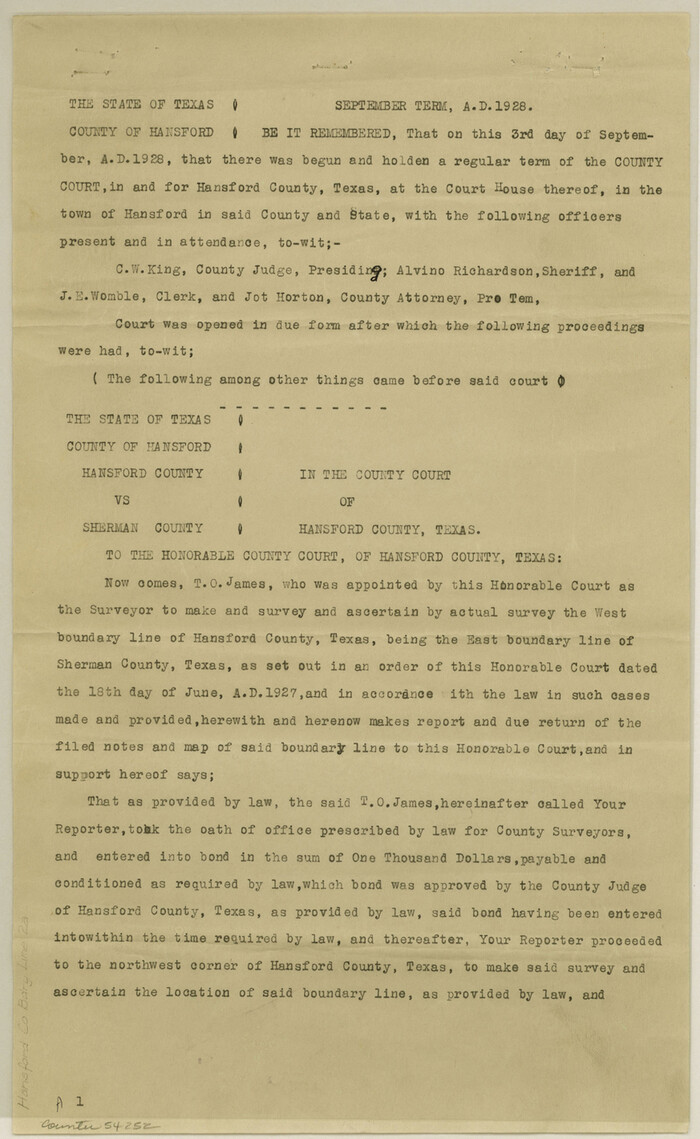
Hansford County Boundary File 2a

Print $40.00
- Digital $50.00
Hansford County Boundary File 2a
Size: 14.2 x 8.7 inches
54252
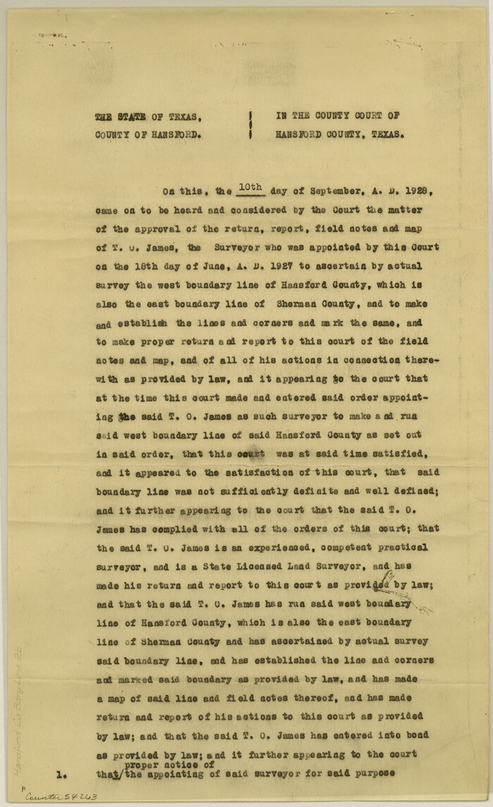
Hansford County Boundary File 2b

Print $14.00
- Digital $50.00
Hansford County Boundary File 2b
Size: 14.3 x 8.8 inches
54263
Hansford County Boundary File 3


Print $10.00
- Digital $50.00
Hansford County Boundary File 3
Size: 13.6 x 8.7 inches
54270
Hansford County Boundary File 3a


Print $80.00
- Digital $50.00
Hansford County Boundary File 3a
Size: 15.3 x 64.7 inches
54275
Hansford County Boundary File 4

Print $26.00
- Digital $50.00
Hansford County Boundary File 4
Size: 14.1 x 8.7 inches
54279
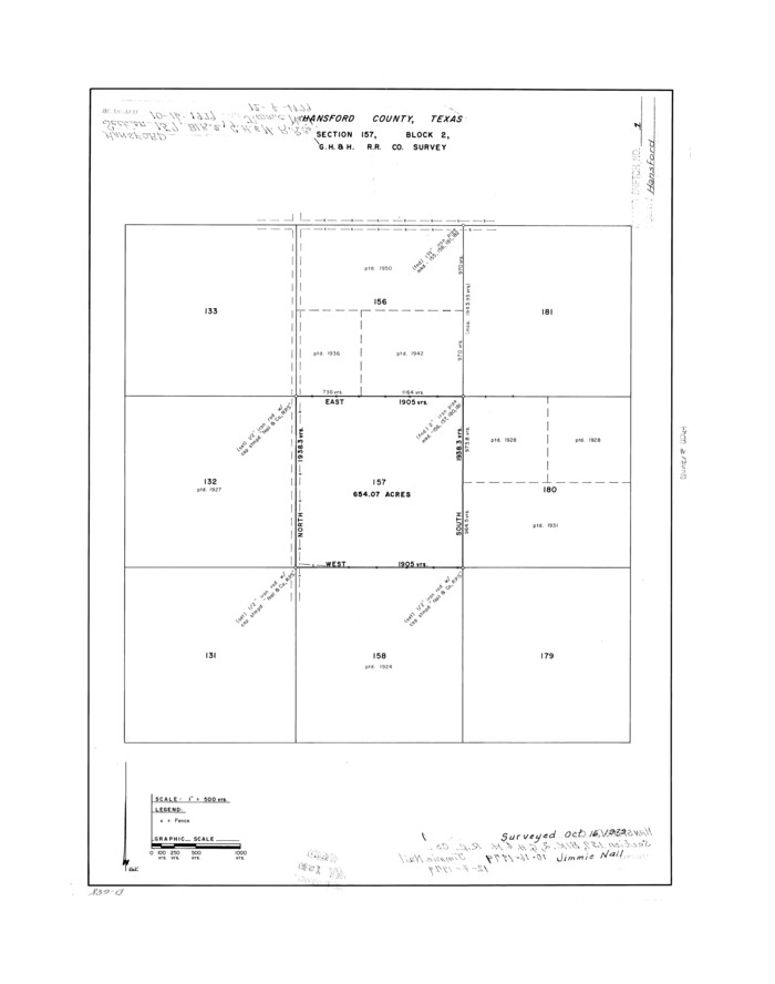
Hansford County Rolled Sketch 1

Print $20.00
- Digital $50.00
Hansford County Rolled Sketch 1
1979
Size: 22.3 x 17.6 inches
6064
Hansford County Sketch File 1


Print $7.00
- Digital $50.00
Hansford County Sketch File 1
1888
Size: 39.0 x 31.3 inches
10475
Hansford County Sketch File 10


Print $6.00
- Digital $50.00
Hansford County Sketch File 10
1931
Size: 8.2 x 8.5 inches
24969
Hansford County Sketch File 11


Print $6.00
- Digital $50.00
Hansford County Sketch File 11
Size: 11.2 x 8.7 inches
24972
Hansford County Sketch File 12


Print $6.00
- Digital $50.00
Hansford County Sketch File 12
1934
Size: 11.2 x 8.9 inches
24975
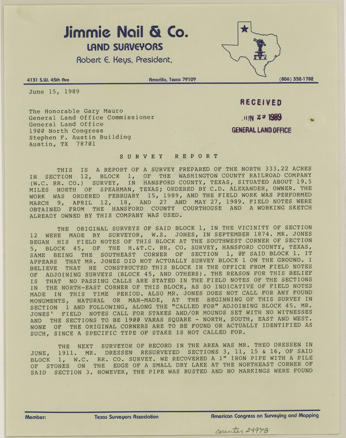
Hansford County Sketch File 13

Print $12.00
- Digital $50.00
Hansford County Sketch File 13
1989
Size: 11.2 x 8.8 inches
24978
Hansford County Sketch File 2


Print $13.00
- Digital $50.00
Hansford County Sketch File 2
1901
Size: 76.7 x 25.5 inches
10476
Hansford County Sketch File 3
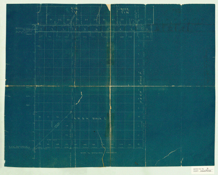

Print $20.00
- Digital $50.00
Hansford County Sketch File 3
Size: 18.6 x 23.1 inches
11620
Hansford County Sketch File 4
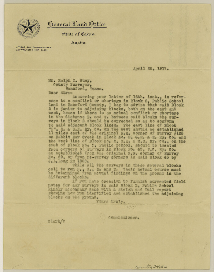

Print $4.00
- Digital $50.00
Hansford County Sketch File 4
1917
Size: 11.3 x 8.9 inches
24952
Block No. 45 of the H. & T. C. R.R. Co. and Block No. 4T of the T. & N. O. R.R. Co. in Hansford and Ochiltree Cos. as resurveyed by J.L. Long, State Surveyor


Print $20.00
- Digital $50.00
Block No. 45 of the H. & T. C. R.R. Co. and Block No. 4T of the T. & N. O. R.R. Co. in Hansford and Ochiltree Cos. as resurveyed by J.L. Long, State Surveyor
1888
-
Size
34.1 x 28.1 inches
-
Map/Doc
75820
-
Creation Date
1888
Corrected Map of Blocks 1C, 2, 2B and 3B, G. H. & H. RR. Co. Surveys, Sherman and Hansford Counties


Print $20.00
- Digital $50.00
Corrected Map of Blocks 1C, 2, 2B and 3B, G. H. & H. RR. Co. Surveys, Sherman and Hansford Counties
1919
-
Size
32.0 x 34.3 inches
-
Map/Doc
91924
-
Creation Date
1919
General Highway Map, Hansford County, Texas


Print $20.00
General Highway Map, Hansford County, Texas
1940
-
Size
18.4 x 25.0 inches
-
Map/Doc
79112
-
Creation Date
1940
General Highway Map, Hansford County, Texas


Print $20.00
General Highway Map, Hansford County, Texas
1961
-
Size
18.0 x 24.5 inches
-
Map/Doc
79497
-
Creation Date
1961
Hansford County


Print $20.00
- Digital $50.00
Hansford County
1932
-
Size
41.8 x 39.8 inches
-
Map/Doc
1847
-
Creation Date
1932
Hansford County


Print $20.00
- Digital $50.00
Hansford County
1878
-
Size
19.5 x 17.0 inches
-
Map/Doc
3623
-
Creation Date
1878
Hansford County
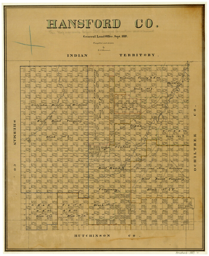

Print $20.00
- Digital $50.00
Hansford County
1889
-
Size
22.9 x 18.5 inches
-
Map/Doc
3624
-
Creation Date
1889
Hansford County


Print $20.00
- Digital $50.00
Hansford County
1889
-
Size
22.7 x 18.9 inches
-
Map/Doc
4558
-
Creation Date
1889
Hansford County
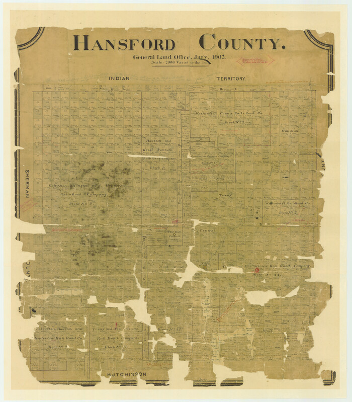

Print $20.00
- Digital $50.00
Hansford County
1902
-
Size
38.8 x 34.9 inches
-
Map/Doc
4696
-
Creation Date
1902
Hansford County
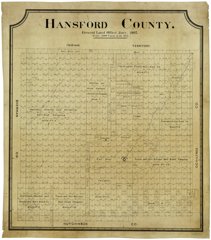

Print $20.00
- Digital $50.00
Hansford County
1902
-
Size
42.3 x 37.5 inches
-
Map/Doc
4969
-
Creation Date
1902
Hansford County
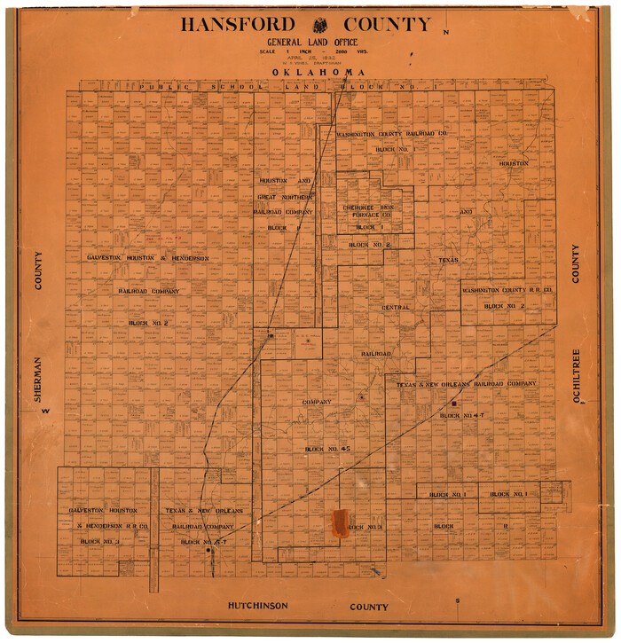

Print $20.00
- Digital $50.00
Hansford County
1932
-
Size
38.7 x 38.0 inches
-
Map/Doc
73169
-
Creation Date
1932
Hansford County
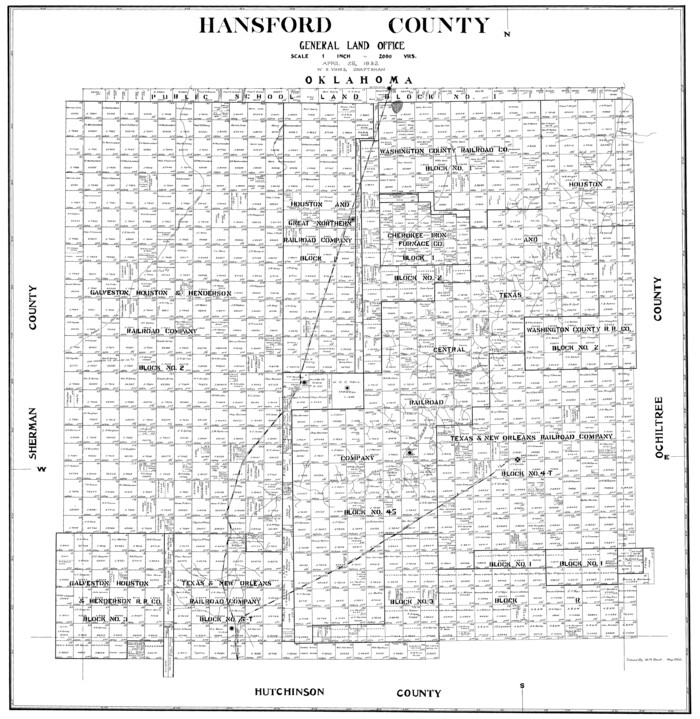

Print $20.00
- Digital $50.00
Hansford County
1932
-
Size
39.6 x 38.5 inches
-
Map/Doc
77301
-
Creation Date
1932
Hansford County
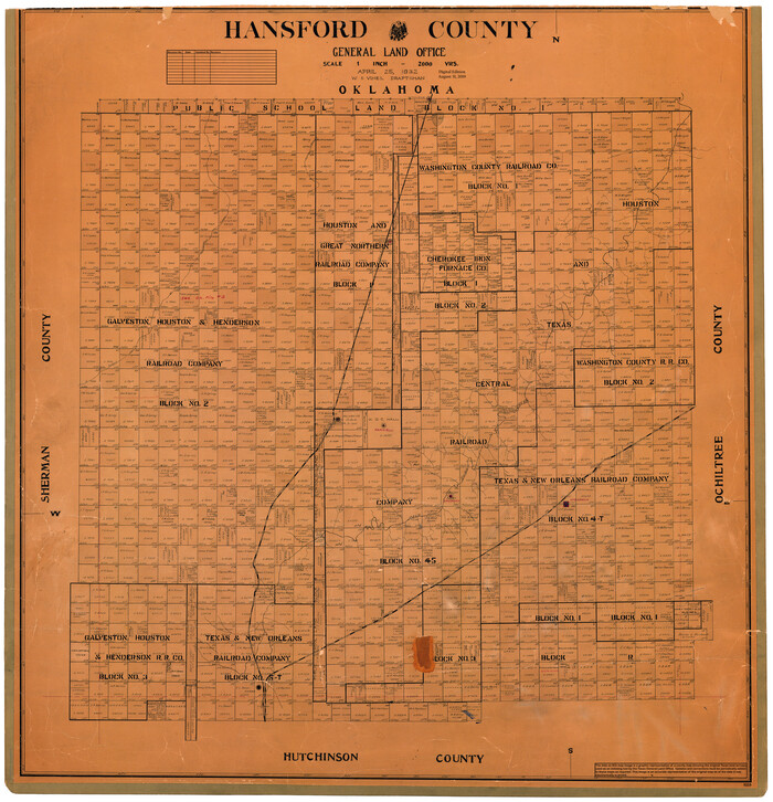

Print $20.00
- Digital $50.00
Hansford County
1932
-
Size
39.7 x 39.0 inches
-
Map/Doc
95519
-
Creation Date
1932
Hansford County Boundary File 1


Print $24.00
- Digital $50.00
Hansford County Boundary File 1
-
Size
9.2 x 8.6 inches
-
Map/Doc
54232
Hansford County Boundary File 1a


Print $2.00
- Digital $50.00
Hansford County Boundary File 1a
-
Size
11.2 x 8.8 inches
-
Map/Doc
54244
Hansford County Boundary File 2


Print $14.00
- Digital $50.00
Hansford County Boundary File 2
-
Size
9.3 x 4.9 inches
-
Map/Doc
54245
Hansford County Boundary File 2a


Print $40.00
- Digital $50.00
Hansford County Boundary File 2a
-
Size
14.2 x 8.7 inches
-
Map/Doc
54252
Hansford County Boundary File 2b


Print $14.00
- Digital $50.00
Hansford County Boundary File 2b
-
Size
14.3 x 8.8 inches
-
Map/Doc
54263
Hansford County Boundary File 3


Print $10.00
- Digital $50.00
Hansford County Boundary File 3
-
Size
13.6 x 8.7 inches
-
Map/Doc
54270
Hansford County Boundary File 3a


Print $80.00
- Digital $50.00
Hansford County Boundary File 3a
-
Size
15.3 x 64.7 inches
-
Map/Doc
54275
Hansford County Boundary File 4


Print $26.00
- Digital $50.00
Hansford County Boundary File 4
-
Size
14.1 x 8.7 inches
-
Map/Doc
54279
Hansford County Rolled Sketch 1


Print $20.00
- Digital $50.00
Hansford County Rolled Sketch 1
1979
-
Size
22.3 x 17.6 inches
-
Map/Doc
6064
-
Creation Date
1979
Hansford County Sketch File 1


Print $7.00
- Digital $50.00
Hansford County Sketch File 1
1888
-
Size
39.0 x 31.3 inches
-
Map/Doc
10475
-
Creation Date
1888
Hansford County Sketch File 10


Print $6.00
- Digital $50.00
Hansford County Sketch File 10
1931
-
Size
8.2 x 8.5 inches
-
Map/Doc
24969
-
Creation Date
1931
Hansford County Sketch File 11


Print $6.00
- Digital $50.00
Hansford County Sketch File 11
-
Size
11.2 x 8.7 inches
-
Map/Doc
24972
Hansford County Sketch File 12


Print $6.00
- Digital $50.00
Hansford County Sketch File 12
1934
-
Size
11.2 x 8.9 inches
-
Map/Doc
24975
-
Creation Date
1934
Hansford County Sketch File 13


Print $12.00
- Digital $50.00
Hansford County Sketch File 13
1989
-
Size
11.2 x 8.8 inches
-
Map/Doc
24978
-
Creation Date
1989
Hansford County Sketch File 2


Print $13.00
- Digital $50.00
Hansford County Sketch File 2
1901
-
Size
76.7 x 25.5 inches
-
Map/Doc
10476
-
Creation Date
1901
Hansford County Sketch File 3


Print $20.00
- Digital $50.00
Hansford County Sketch File 3
-
Size
18.6 x 23.1 inches
-
Map/Doc
11620
Hansford County Sketch File 4


Print $4.00
- Digital $50.00
Hansford County Sketch File 4
1917
-
Size
11.3 x 8.9 inches
-
Map/Doc
24952
-
Creation Date
1917