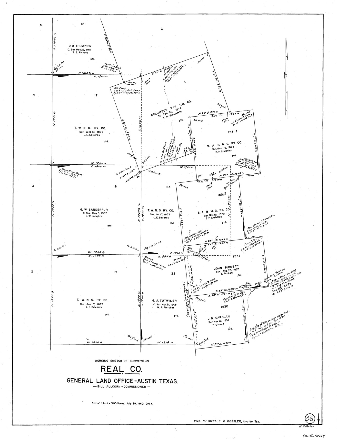
Real County Working Sketch 56
-
Map/Doc
71948
-
Collection
General Map Collection
-
Object Dates
7/29/1960 (Creation Date)
-
People and Organizations
Otto G. Kurio (Draftsman)
-
Counties
Real
-
Subjects
Surveying Working Sketch
-
Height x Width
31.1 x 23.9 inches
79.0 x 60.7 cm
-
Scale
1" = 300 varas
Part of: General Map Collection
Ector County Working Sketch 27

Print $20.00
- Digital $50.00
Ector County Working Sketch 27
Size 28.0 x 32.7 inches
Map/Doc 68870
Knox County Boundary File 2


Print $40.00
- Digital $50.00
Knox County Boundary File 2
Size 31.1 x 34.1 inches
Map/Doc 65017
Throckmorton County

Print $20.00
- Digital $50.00
Throckmorton County
1943
Size 47.8 x 38.2 inches
Map/Doc 63065
Travis County Rolled Sketch 30


Print $20.00
- Digital $50.00
Travis County Rolled Sketch 30
1943
Size 26.5 x 25.6 inches
Map/Doc 8032
Brazos County Working Sketch 9

Print $20.00
- Digital $50.00
Brazos County Working Sketch 9
1982
Size 36.2 x 48.8 inches
Map/Doc 67484
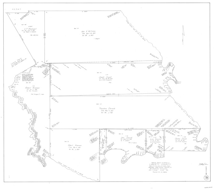
Liberty County Working Sketch 78

Print $20.00
- Digital $50.00
Liberty County Working Sketch 78
1981
Size 36.2 x 41.0 inches
Map/Doc 70538
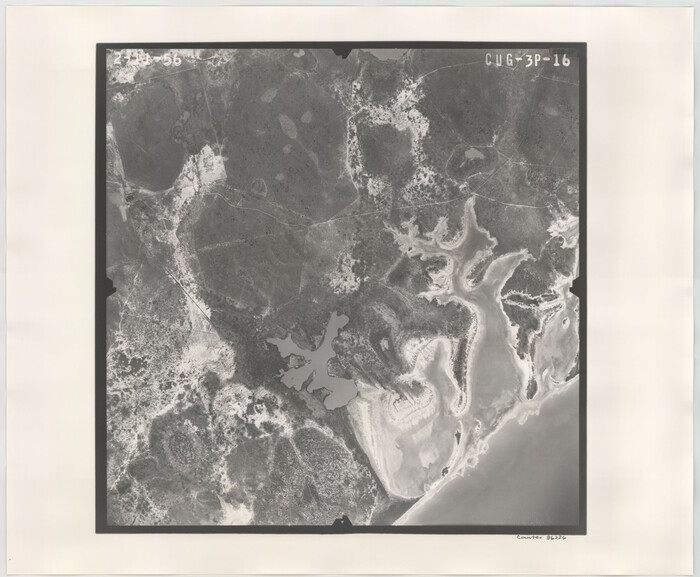
Flight Mission No. CUG-3P, Frame 16, Kleberg County

Print $20.00
- Digital $50.00
Flight Mission No. CUG-3P, Frame 16, Kleberg County
1956
Size 18.3 x 22.2 inches
Map/Doc 86226
El Paso County Sketch File 42


Print $16.00
- Digital $50.00
El Paso County Sketch File 42
1996
Size 14.3 x 8.9 inches
Map/Doc 22241
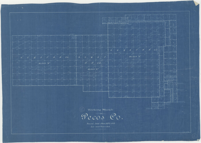
Pecos County Working Sketch 12

Print $20.00
- Digital $50.00
Pecos County Working Sketch 12
1912
Size 21.3 x 30.0 inches
Map/Doc 71482
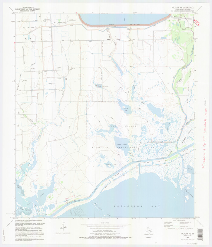
Matagorda County NRC Article 33.136 Location Key Sheet

Print $20.00
- Digital $50.00
Matagorda County NRC Article 33.136 Location Key Sheet
1995
Size 27.0 x 23.0 inches
Map/Doc 87909
Garza County Rolled Sketch 5A

Print $40.00
- Digital $50.00
Garza County Rolled Sketch 5A
Size 36.4 x 53.8 inches
Map/Doc 3830
Flight Mission No. CGI-3N, Frame 134, Cameron County

Print $20.00
- Digital $50.00
Flight Mission No. CGI-3N, Frame 134, Cameron County
1954
Size 18.4 x 22.2 inches
Map/Doc 84607
You may also like
Stonewall County Boundary File 4b


Print $18.00
- Digital $50.00
Stonewall County Boundary File 4b
Size 9.1 x 8.8 inches
Map/Doc 58993
Kenedy County Rolled Sketch 14


Print $21.00
- Digital $50.00
Kenedy County Rolled Sketch 14
1951
Size 10.2 x 15.3 inches
Map/Doc 46433
Milam County Sketch File 2


Print $4.00
- Digital $50.00
Milam County Sketch File 2
1849
Size 8.0 x 12.4 inches
Map/Doc 31627
Reagan County Working Sketch 18

Print $20.00
- Digital $50.00
Reagan County Working Sketch 18
1954
Size 23.6 x 42.9 inches
Map/Doc 71860
Outer Continental Shelf Leasing Maps (Texas Offshore Operations)


Print $20.00
- Digital $50.00
Outer Continental Shelf Leasing Maps (Texas Offshore Operations)
Size 20.7 x 15.1 inches
Map/Doc 75848
Wise County Sketch File 10

Print $6.00
- Digital $50.00
Wise County Sketch File 10
1855
Size 7.6 x 8.2 inches
Map/Doc 40541
Map of Blockline between 33 and 34, Township 5 North
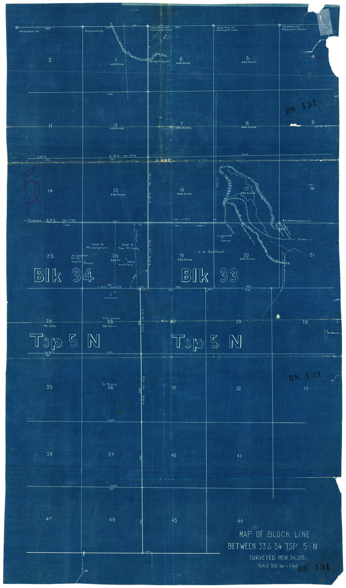

Print $20.00
- Digital $50.00
Map of Blockline between 33 and 34, Township 5 North
1919
Size 20.5 x 34.5 inches
Map/Doc 92565
Red River County Sketch File 15


Print $4.00
- Digital $50.00
Red River County Sketch File 15
1863
Size 12.1 x 7.2 inches
Map/Doc 35137
Blanco County Rolled Sketch 17
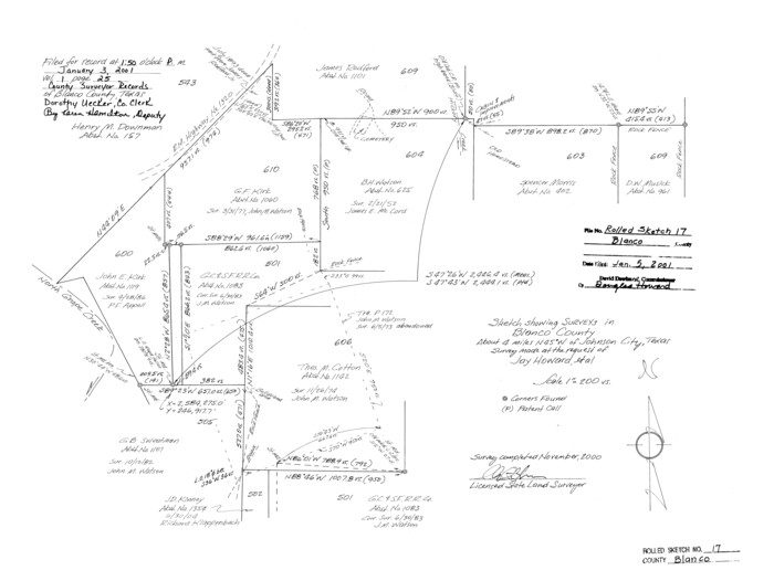

Print $20.00
- Digital $50.00
Blanco County Rolled Sketch 17
Size 18.0 x 23.9 inches
Map/Doc 5153
Randall County Boundary File 6
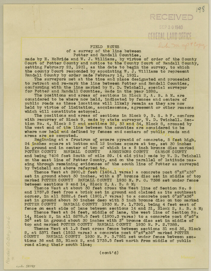

Print $12.00
- Digital $50.00
Randall County Boundary File 6
Size 11.2 x 8.7 inches
Map/Doc 58145
Gray County Working Sketch 2


Print $20.00
- Digital $50.00
Gray County Working Sketch 2
1957
Size 26.7 x 27.8 inches
Map/Doc 63233
Edwards County Working Sketch 103
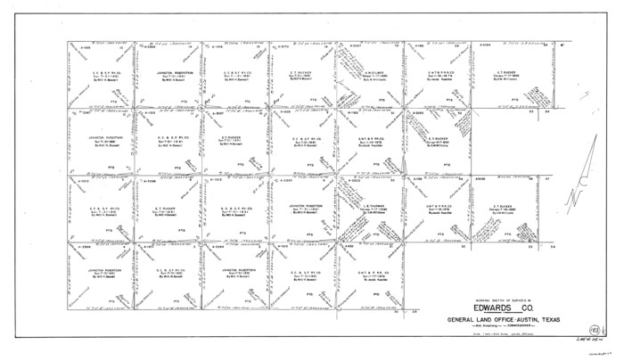

Print $20.00
- Digital $50.00
Edwards County Working Sketch 103
1972
Size 25.6 x 44.3 inches
Map/Doc 68979
