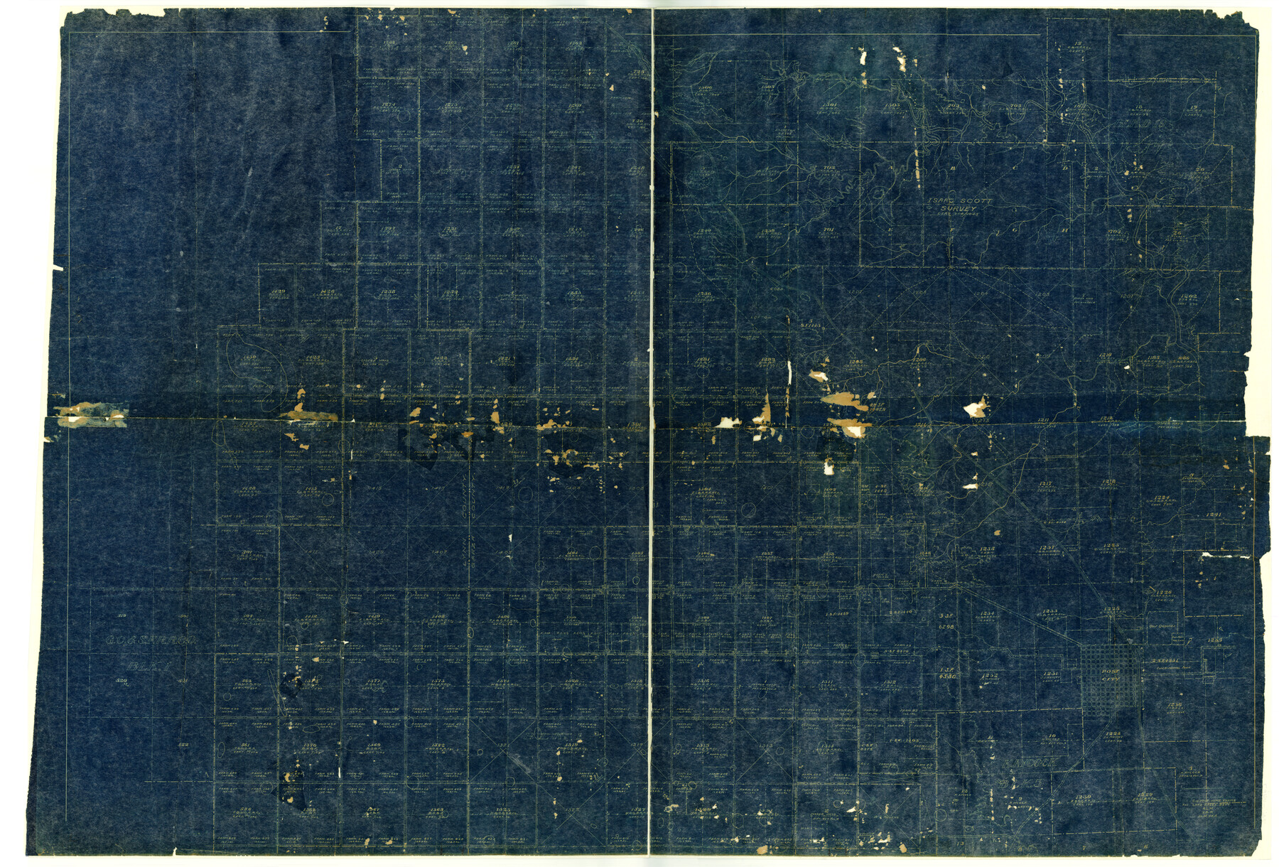
Garza County Rolled Sketch 5A
[Sketch of area north and west of Post in Garza and Lynn Counties]
-
Map/Doc
3830
-
Collection
General Map Collection
-
Counties
Garza Lynn
-
Subjects
County Surveying Rolled Sketch
-
Height x Width
36.4 x 53.8 inches
92.5 x 136.7 cm
-
Medium
blueprint/diazo
Part of: General Map Collection
Howard County Working Sketch 6

Print $20.00
- Digital $50.00
Howard County Working Sketch 6
1946
Size 17.3 x 19.5 inches
Map/Doc 66272
Brazos County Working Sketch 3

Print $20.00
- Digital $50.00
Brazos County Working Sketch 3
1976
Size 22.0 x 18.4 inches
Map/Doc 67478
Jeff Davis County Sketch File 27

Print $20.00
- Digital $50.00
Jeff Davis County Sketch File 27
1915
Size 18.8 x 25.5 inches
Map/Doc 11862
Guadalupe County Sketch File 7

Print $20.00
- Digital $50.00
Guadalupe County Sketch File 7
Size 15.6 x 19.5 inches
Map/Doc 11590
Bosque County Sketch File 27

Print $40.00
- Digital $50.00
Bosque County Sketch File 27
Size 14.7 x 17.5 inches
Map/Doc 10937
Donley County Working Sketch 8

Print $20.00
- Digital $50.00
Donley County Working Sketch 8
1981
Size 36.9 x 46.8 inches
Map/Doc 68741
Flight Mission No. CUG-1P, Frame 71, Kleberg County

Print $20.00
- Digital $50.00
Flight Mission No. CUG-1P, Frame 71, Kleberg County
1956
Size 18.5 x 22.2 inches
Map/Doc 86136

Hammond's continental map of the United States

Digital $50.00
Hammond's continental map of the United States
1940
Size 33.2 x 50.2 inches
Map/Doc 3118
Nueces County Rolled Sketch 129

Print $20.00
- Digital $50.00
Nueces County Rolled Sketch 129
1998
Size 18.1 x 24.5 inches
Map/Doc 7164
Hemphill County

Print $20.00
- Digital $50.00
Hemphill County
1878
Size 19.1 x 16.9 inches
Map/Doc 3661
Controlled Mosaic by Jack Amman Photogrammetric Engineers, Inc - Sheet 15

Print $20.00
- Digital $50.00
Controlled Mosaic by Jack Amman Photogrammetric Engineers, Inc - Sheet 15
1954
Size 20.0 x 24.0 inches
Map/Doc 83459
You may also like
Harrison County Sketch File 14

Print $32.00
- Digital $50.00
Harrison County Sketch File 14
1880
Size 11.2 x 8.8 inches
Map/Doc 26053
The Dawn of Humans Peopling of the Americas

The Dawn of Humans Peopling of the Americas
2000
Size 31.3 x 20.5 inches
Map/Doc 96841
Goliad County Working Sketch 23

Print $20.00
- Digital $50.00
Goliad County Working Sketch 23
1979
Size 26.8 x 32.9 inches
Map/Doc 63213
Haskell County Rolled Sketch 11

Print $20.00
- Digital $50.00
Haskell County Rolled Sketch 11
1983
Size 23.0 x 28.0 inches
Map/Doc 6170
Andrews County

Print $40.00
- Digital $50.00
Andrews County
1951
Size 42.7 x 54.4 inches
Map/Doc 73067
Hunt County Rolled Sketch 5

Print $20.00
- Digital $50.00
Hunt County Rolled Sketch 5
1966
Size 23.9 x 23.7 inches
Map/Doc 6274
Harris County Rolled Sketch 42

Print $20.00
- Digital $50.00
Harris County Rolled Sketch 42
1919
Size 15.7 x 19.5 inches
Map/Doc 6100
Glasscock County Rolled Sketch 2

Print $20.00
- Digital $50.00
Glasscock County Rolled Sketch 2
1906
Size 19.6 x 14.8 inches
Map/Doc 6013
Upton County Rolled Sketch 54

Print $20.00
- Digital $50.00
Upton County Rolled Sketch 54
Size 23.5 x 35.6 inches
Map/Doc 8089
Midland County Rolled Sketch 4A

Print $40.00
- Digital $50.00
Midland County Rolled Sketch 4A
1951
Size 43.0 x 85.3 inches
Map/Doc 61735

Eastland County Working Sketch 61

Print $20.00
- Digital $50.00
Eastland County Working Sketch 61
1989
Size 35.4 x 41.0 inches
Map/Doc 68842