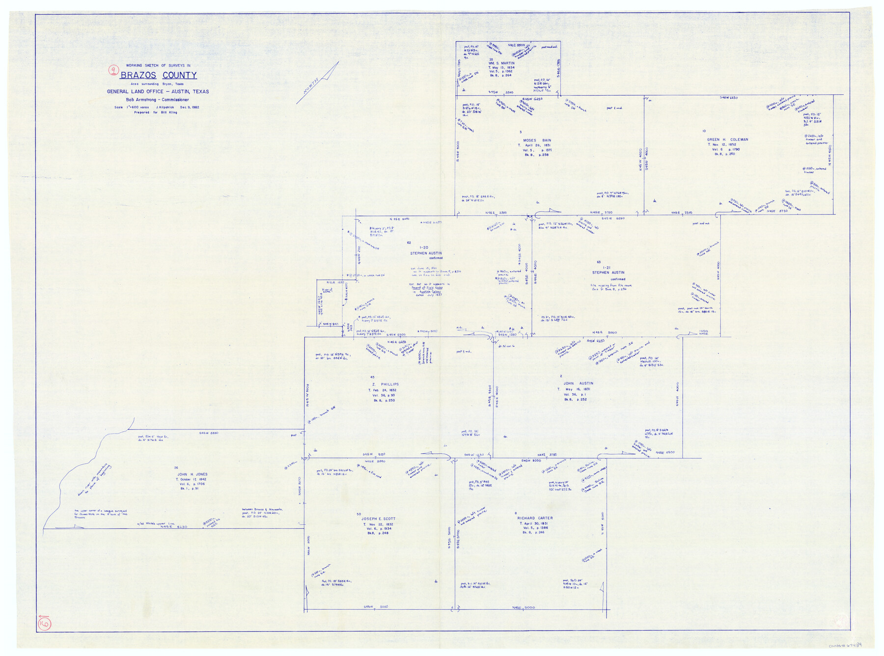
Brazos County Working Sketch 9
-
Map/Doc
67484
-
Collection
General Map Collection
-
Object Dates
12/9/1982 (Creation Date)
-
People and Organizations
Joan Kilpatrick (Draftsman)
Bob Armstrong (GLO Commissioner)
-
Counties
Brazos
-
Subjects
Surveying Working Sketch
-
Height x Width
36.2 x 48.8 inches
92.0 x 124.0 cm
-
Scale
1" = 600 varas
-
Comments
Surveys located in area surrounding Bryan, Texas.
Part of: General Map Collection
Smith County Sketch File 7

Print $4.00
- Digital $50.00
Smith County Sketch File 7
1848
Size 12.7 x 8.2 inches
Map/Doc 36759
Controlled Mosaic by Jack Amman Photogrammetric Engineers, Inc - Sheet 42

Print $20.00
- Digital $50.00
Controlled Mosaic by Jack Amman Photogrammetric Engineers, Inc - Sheet 42
1954
Size 20.0 x 24.0 inches
Map/Doc 83499
Brewster County Sketch File N-7

Print $40.00
- Digital $50.00
Brewster County Sketch File N-7
1914
Size 16.7 x 13.9 inches
Map/Doc 15608
Chart showing the positions of the lights in the Eighth L. H. District extending from the Perdido River, Florida to the Rio Grande, Texas

Print $20.00
- Digital $50.00
Chart showing the positions of the lights in the Eighth L. H. District extending from the Perdido River, Florida to the Rio Grande, Texas
1876
Size 25.0 x 18.3 inches
Map/Doc 72681
Kinney County Working Sketch 18

Print $40.00
- Digital $50.00
Kinney County Working Sketch 18
1948
Size 56.7 x 40.5 inches
Map/Doc 70200
Flight Mission No. DQN-2K, Frame 98, Calhoun County

Print $20.00
- Digital $50.00
Flight Mission No. DQN-2K, Frame 98, Calhoun County
1953
Size 18.7 x 22.4 inches
Map/Doc 84288
Morris County Rolled Sketch 2A

Print $20.00
- Digital $50.00
Morris County Rolled Sketch 2A
Size 24.2 x 19.1 inches
Map/Doc 10247
Howard County Boundary File 3a

Print $62.00
- Digital $50.00
Howard County Boundary File 3a
Size 3.9 x 8.7 inches
Map/Doc 55155
Rusk County Sketch File 28

Print $24.00
Rusk County Sketch File 28
1937
Size 11.4 x 8.7 inches
Map/Doc 35542
Bowie County Working Sketch 21

Print $20.00
- Digital $50.00
Bowie County Working Sketch 21
1968
Size 35.9 x 36.3 inches
Map/Doc 67425
Austin County Working Sketch 3

Print $20.00
- Digital $50.00
Austin County Working Sketch 3
1950
Size 33.3 x 40.1 inches
Map/Doc 67244
Flight Mission No. BQY-4M, Frame 53, Harris County

Print $20.00
- Digital $50.00
Flight Mission No. BQY-4M, Frame 53, Harris County
1953
Size 18.6 x 22.3 inches
Map/Doc 85262
You may also like
[John S. Stephens Blk. S-2, J. A. Oden Blk. 1, Lgs. 174-176]
![90188, [John S. Stephens Blk. S-2, J. A. Oden Blk. 1, Lgs. 174-176], Twichell Survey Records](https://historictexasmaps.com/wmedia_w700/maps/90188-1.tif.jpg)
Print $20.00
- Digital $50.00
[John S. Stephens Blk. S-2, J. A. Oden Blk. 1, Lgs. 174-176]
1913
Size 23.5 x 27.0 inches
Map/Doc 90188
The Republic County of Brazoria. December 16, 1839

Print $20.00
The Republic County of Brazoria. December 16, 1839
2020
Size 14.7 x 21.8 inches
Map/Doc 96113
Coryell County Sketch File 26

Print $10.00
- Digital $50.00
Coryell County Sketch File 26
1951
Size 11.1 x 8.5 inches
Map/Doc 19393
Hockley County

Print $20.00
- Digital $50.00
Hockley County
1954
Size 44.2 x 39.7 inches
Map/Doc 95531
Armstrong County Boundary File 2

Print $8.00
- Digital $50.00
Armstrong County Boundary File 2
Size 14.1 x 8.7 inches
Map/Doc 50137
Flight Mission No. DIX-10P, Frame 170, Aransas County

Print $20.00
- Digital $50.00
Flight Mission No. DIX-10P, Frame 170, Aransas County
1956
Size 18.7 x 22.3 inches
Map/Doc 83960
Schleicher County Working Sketch 3

Print $20.00
- Digital $50.00
Schleicher County Working Sketch 3
1914
Size 23.2 x 17.6 inches
Map/Doc 63805
Leon County Working Sketch 15

Print $20.00
- Digital $50.00
Leon County Working Sketch 15
1958
Size 27.3 x 26.7 inches
Map/Doc 70414
Flight Mission No. BQR-9K, Frame 10, Brazoria County

Print $20.00
- Digital $50.00
Flight Mission No. BQR-9K, Frame 10, Brazoria County
1952
Size 18.7 x 22.3 inches
Map/Doc 84039
Texas Intracoastal Waterway - Laguna Madre - Rincon de San Jose to Chubby Island

Print $20.00
- Digital $50.00
Texas Intracoastal Waterway - Laguna Madre - Rincon de San Jose to Chubby Island
1961
Size 38.0 x 26.7 inches
Map/Doc 73514
Montague County Boundary File 2b

Print $10.00
- Digital $50.00
Montague County Boundary File 2b
Size 9.0 x 11.1 inches
Map/Doc 57414
Matagorda County NRC Article 33.136 Sketch 11

Print $42.00
- Digital $50.00
Matagorda County NRC Article 33.136 Sketch 11
Size 18.0 x 24.0 inches
Map/Doc 94465