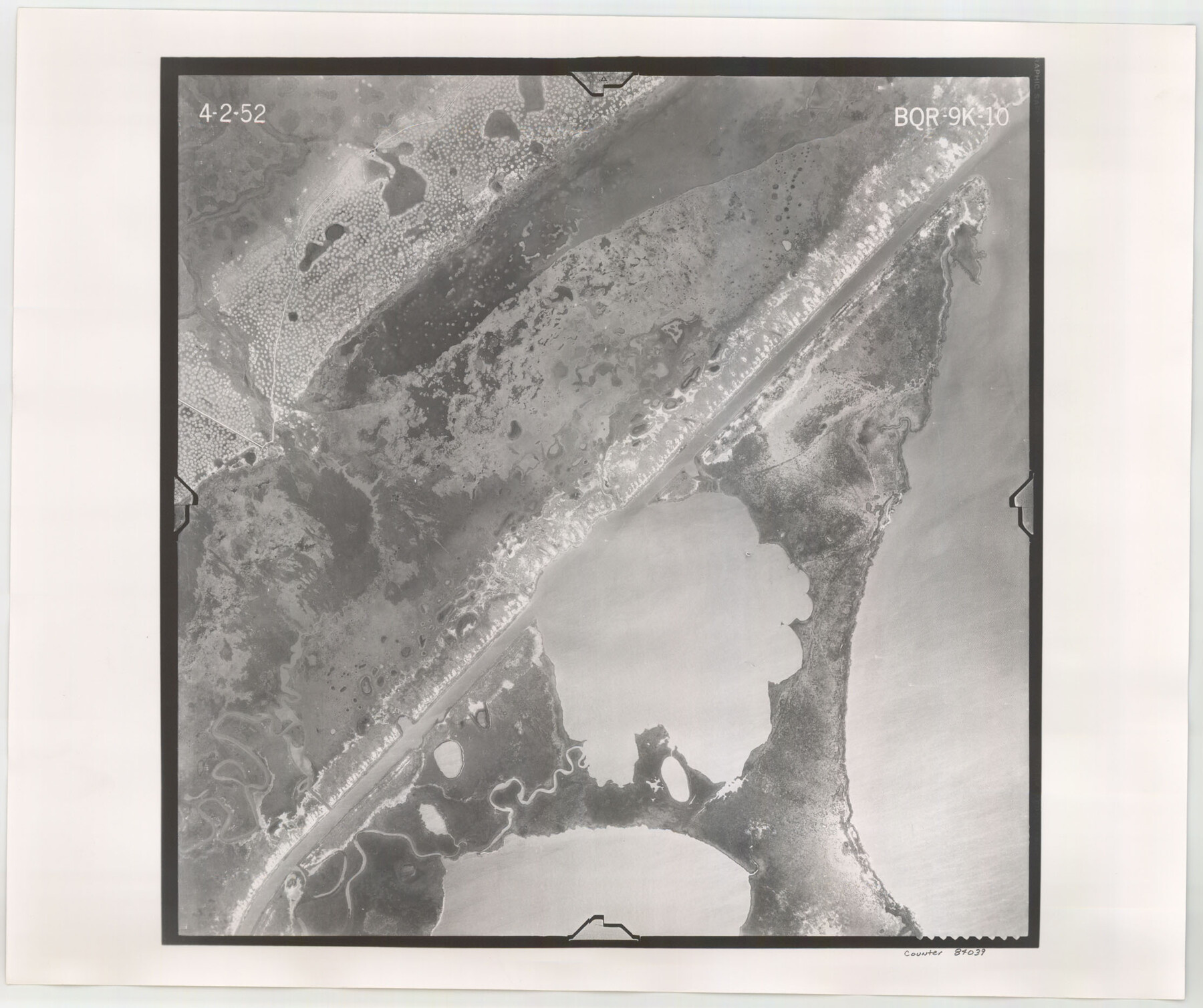
Flight Mission No. BQR-9K, Frame 10, Brazoria County
BQR-9K-10
-
Map/Doc
84039
-
Collection
General Map Collection
-
Object Dates
1952/4/2 (Creation Date)
-
People and Organizations
U. S. Department of Agriculture (Publisher)
-
Counties
Brazoria
-
Subjects
Aerial Photograph
-
Height x Width
18.7 x 22.3 inches
47.5 x 56.6 cm
-
Comments
Flown by Aero Exploration Company of Tulsa, Oklahoma.
Part of: General Map Collection
Anderson County Working Sketch 16

Print $20.00
- Digital $50.00
Anderson County Working Sketch 16
1938
Size 42.4 x 37.1 inches
Map/Doc 67016
Webb County Working Sketch 80

Print $40.00
- Digital $50.00
Webb County Working Sketch 80
1979
Size 43.0 x 97.9 inches
Map/Doc 72447
Glasscock County Sketch File 19

Print $20.00
- Digital $50.00
Glasscock County Sketch File 19
Size 21.4 x 16.8 inches
Map/Doc 11563
Matagorda Bay and Approaches

Print $20.00
- Digital $50.00
Matagorda Bay and Approaches
1931
Size 34.9 x 44.4 inches
Map/Doc 73378
Irion County Working Sketch 6

Print $20.00
- Digital $50.00
Irion County Working Sketch 6
1935
Size 16.6 x 30.8 inches
Map/Doc 66415
Jefferson County Sketch File 55

Print $30.00
- Digital $50.00
Jefferson County Sketch File 55
1982
Size 11.1 x 8.5 inches
Map/Doc 28386
Map of Nolan County

Print $20.00
- Digital $50.00
Map of Nolan County
1902
Size 45.9 x 38.4 inches
Map/Doc 16780
Medina County Sketch File 18

Print $40.00
- Digital $50.00
Medina County Sketch File 18
Size 23.1 x 10.5 inches
Map/Doc 31482
Terrell County Rolled Sketch 58

Print $40.00
- Digital $50.00
Terrell County Rolled Sketch 58
1931
Size 49.1 x 41.8 inches
Map/Doc 9993
Montgomery County Rolled Sketch 42

Print $20.00
- Digital $50.00
Montgomery County Rolled Sketch 42
1939
Size 13.9 x 20.2 inches
Map/Doc 6816
Nueces County Rolled Sketch 81

Print $278.00
- Digital $50.00
Nueces County Rolled Sketch 81
1982
Size 24.3 x 36.2 inches
Map/Doc 6960
[Unidentified Railroad through Denton and Dallas County]
![64775, [Unidentified Railroad through Denton and Dallas County], General Map Collection](https://historictexasmaps.com/wmedia_w700/maps/64775.tif.jpg)
Print $40.00
- Digital $50.00
[Unidentified Railroad through Denton and Dallas County]
Size 6.8 x 73.3 inches
Map/Doc 64775
You may also like
[Map showing Jno. H. Gibson Block D]
![92005, [Map showing Jno. H. Gibson Block D], Twichell Survey Records](https://historictexasmaps.com/wmedia_w700/maps/92005-1.tif.jpg)
Print $20.00
- Digital $50.00
[Map showing Jno. H. Gibson Block D]
Size 18.3 x 15.9 inches
Map/Doc 92005
Township No. 6 South Range No. 9 West of the Indian Meridian

Print $20.00
- Digital $50.00
Township No. 6 South Range No. 9 West of the Indian Meridian
1874
Size 19.2 x 24.5 inches
Map/Doc 75166
[Sketch to show the positions of surveys 1-18 made by G. R. Jowell with reference to Capitol Leagues]
![90539, [Sketch to show the positions of surveys 1-18 made by G. R. Jowell with reference to Capitol Leagues], Twichell Survey Records](https://historictexasmaps.com/wmedia_w700/maps/90539-1.tif.jpg)
Print $20.00
- Digital $50.00
[Sketch to show the positions of surveys 1-18 made by G. R. Jowell with reference to Capitol Leagues]
1905
Size 14.7 x 14.6 inches
Map/Doc 90539
Grayson County Sketch File 13

Print $40.00
- Digital $50.00
Grayson County Sketch File 13
1853
Size 16.2 x 14.4 inches
Map/Doc 24480
El Paso County Sketch File 37

Print $4.00
- Digital $50.00
El Paso County Sketch File 37
1987
Size 14.4 x 9.1 inches
Map/Doc 22221
Hall County Sketch File 12

Print $20.00
- Digital $50.00
Hall County Sketch File 12
Size 31.9 x 35.5 inches
Map/Doc 10474
South Sulphur River, Harpers Crossing Sheet

Print $20.00
- Digital $50.00
South Sulphur River, Harpers Crossing Sheet
1925
Size 42.2 x 29.2 inches
Map/Doc 65169
Montgomery County

Print $20.00
- Digital $50.00
Montgomery County
1901
Size 21.9 x 25.3 inches
Map/Doc 3898
Culberson County Working Sketch 16

Print $20.00
- Digital $50.00
Culberson County Working Sketch 16
1926
Size 17.5 x 23.4 inches
Map/Doc 68468
Hutchinson County Sketch File 18

Print $28.00
- Digital $50.00
Hutchinson County Sketch File 18
1909
Size 6.7 x 8.3 inches
Map/Doc 27220
Eastern Hemisphere

Print $20.00
- Digital $50.00
Eastern Hemisphere
1885
Size 12.2 x 9.0 inches
Map/Doc 93511
Comal County Working Sketch 1

Print $20.00
- Digital $50.00
Comal County Working Sketch 1
1919
Size 22.1 x 18.2 inches
Map/Doc 68167