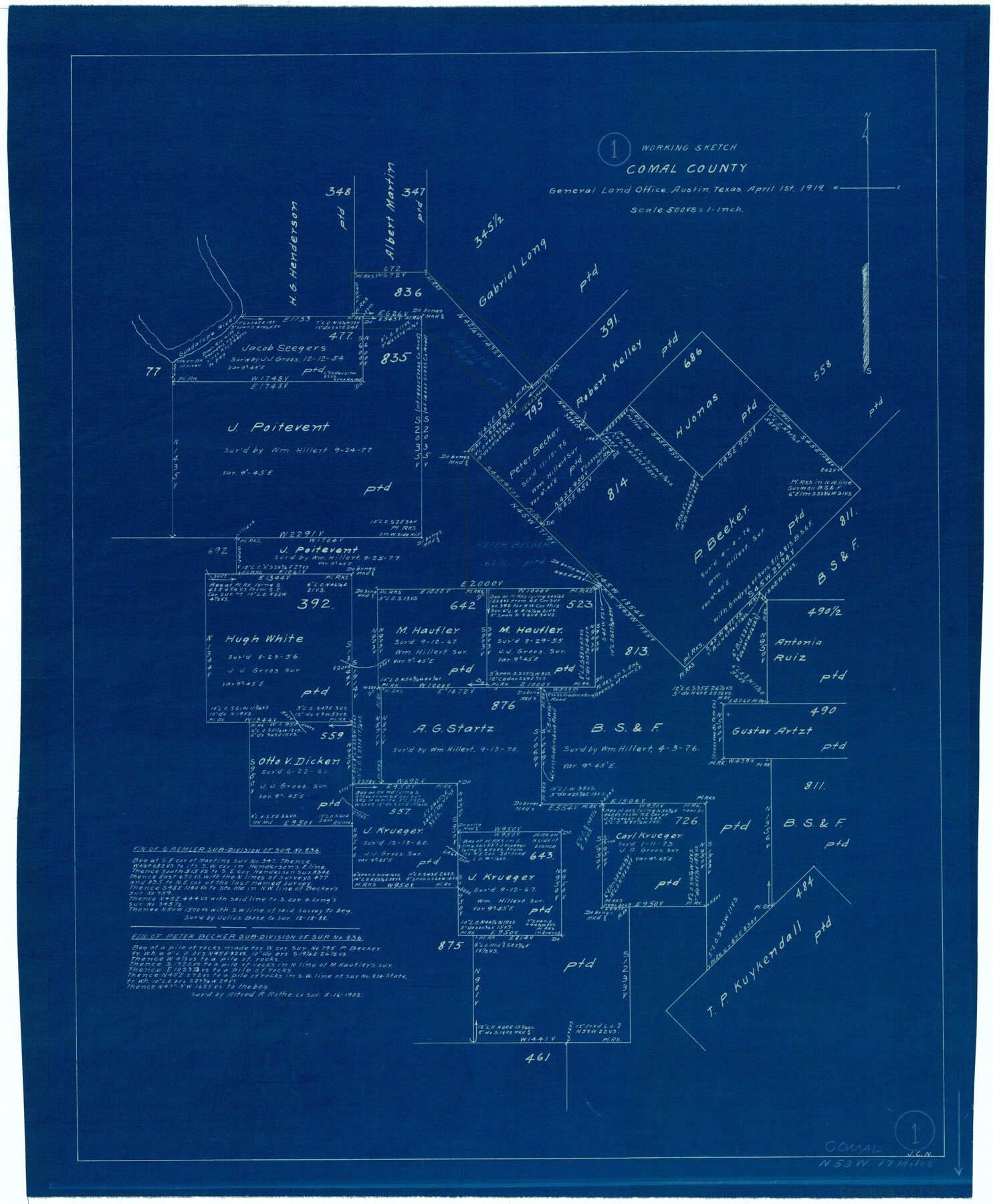
Comal County Working Sketch 1
-
Map/Doc
68167
-
Collection
General Map Collection
-
Object Dates
4/1/1919 (Creation Date)
-
Counties
Comal
-
Subjects
Surveying Working Sketch
-
Height x Width
22.1 x 18.2 inches
56.1 x 46.2 cm
-
Scale
1" = 500 varas
Part of: General Map Collection
Hunt County Sketch File 16a

Print $4.00
- Digital $50.00
Hunt County Sketch File 16a
Size 4.6 x 8.1 inches
Map/Doc 27109
Crockett County Working Sketch 49

Print $20.00
- Digital $50.00
Crockett County Working Sketch 49
1938
Size 46.7 x 43.9 inches
Map/Doc 68382
Johnson County Working Sketch 13

Print $20.00
- Digital $50.00
Johnson County Working Sketch 13
1969
Size 32.0 x 41.0 inches
Map/Doc 66626
Real County Working Sketch 66

Print $20.00
- Digital $50.00
Real County Working Sketch 66
1970
Size 35.5 x 29.4 inches
Map/Doc 71958
Flight Mission No. BRE-1P, Frame 57, Nueces County

Print $20.00
- Digital $50.00
Flight Mission No. BRE-1P, Frame 57, Nueces County
1956
Size 18.5 x 22.2 inches
Map/Doc 86646
Travis County Rolled Sketch 37

Print $20.00
- Digital $50.00
Travis County Rolled Sketch 37
1942
Size 36.1 x 35.6 inches
Map/Doc 10014
Duval County Sketch File 6a

Print $20.00
- Digital $50.00
Duval County Sketch File 6a
1875
Size 10.9 x 22.9 inches
Map/Doc 11382
Kimble County Working Sketch 84

Print $20.00
- Digital $50.00
Kimble County Working Sketch 84
1972
Size 32.5 x 30.7 inches
Map/Doc 70152
[Surveys in the Robertson District along the Trinity River and Richland Creek]
![104, [Surveys in the Robertson District along the Trinity River and Richland Creek], General Map Collection](https://historictexasmaps.com/wmedia_w700/maps/104.tif.jpg)
Print $20.00
- Digital $50.00
[Surveys in the Robertson District along the Trinity River and Richland Creek]
1841
Size 15.3 x 12.2 inches
Map/Doc 104
Edwards County Rolled Sketch 23

Print $20.00
- Digital $50.00
Edwards County Rolled Sketch 23
1952
Size 26.3 x 34.7 inches
Map/Doc 8846
Hays County Boundary File 2a

Print $40.00
- Digital $50.00
Hays County Boundary File 2a
Size 9.0 x 25.0 inches
Map/Doc 54595
Foard County Aerial Photograph Index Sheet 3

Print $20.00
- Digital $50.00
Foard County Aerial Photograph Index Sheet 3
1950
Size 20.3 x 18.9 inches
Map/Doc 83690
You may also like
Falls County Sketch File 11a

Print $8.00
- Digital $50.00
Falls County Sketch File 11a
1871
Size 12.9 x 8.2 inches
Map/Doc 22358
Shelby County Working Sketch 33

Print $20.00
- Digital $50.00
Shelby County Working Sketch 33
2008
Size 23.6 x 27.5 inches
Map/Doc 88886
N. F. Cleavinger

Print $3.00
- Digital $50.00
N. F. Cleavinger
Size 16.5 x 10.6 inches
Map/Doc 92406
[Sketch for Mineral Application 24070 - Smith and Wood Counties, R. A. Tofflemire]
![65643, [Sketch for Mineral Application 24070 - Smith and Wood Counties, R. A. Tofflemire], General Map Collection](https://historictexasmaps.com/wmedia_w700/maps/65643.tif.jpg)
Print $40.00
- Digital $50.00
[Sketch for Mineral Application 24070 - Smith and Wood Counties, R. A. Tofflemire]
1929
Size 42.7 x 226.9 inches
Map/Doc 65643
Medina County Sketch File 1

Print $4.00
- Digital $50.00
Medina County Sketch File 1
Size 12.5 x 8.1 inches
Map/Doc 31437
Stephens County Working Sketch 4

Print $20.00
- Digital $50.00
Stephens County Working Sketch 4
1919
Size 32.1 x 26.5 inches
Map/Doc 63947
Zavala County Sketch File 48

Print $6.00
- Digital $50.00
Zavala County Sketch File 48
1942
Size 11.4 x 9.0 inches
Map/Doc 41438
Howard County, Texas

Print $20.00
- Digital $50.00
Howard County, Texas
1870
Size 22.7 x 17.9 inches
Map/Doc 733
Milam County Rolled Sketch 5

Print $20.00
- Digital $50.00
Milam County Rolled Sketch 5
Size 27.9 x 39.8 inches
Map/Doc 6777

Block 33, Township 5 South

Print $2.00
- Digital $50.00
Block 33, Township 5 South
1875
Size 8.9 x 9.7 inches
Map/Doc 90751
Harrison County

Print $20.00
- Digital $50.00
Harrison County
1920
Size 42.8 x 39.8 inches
Map/Doc 73173