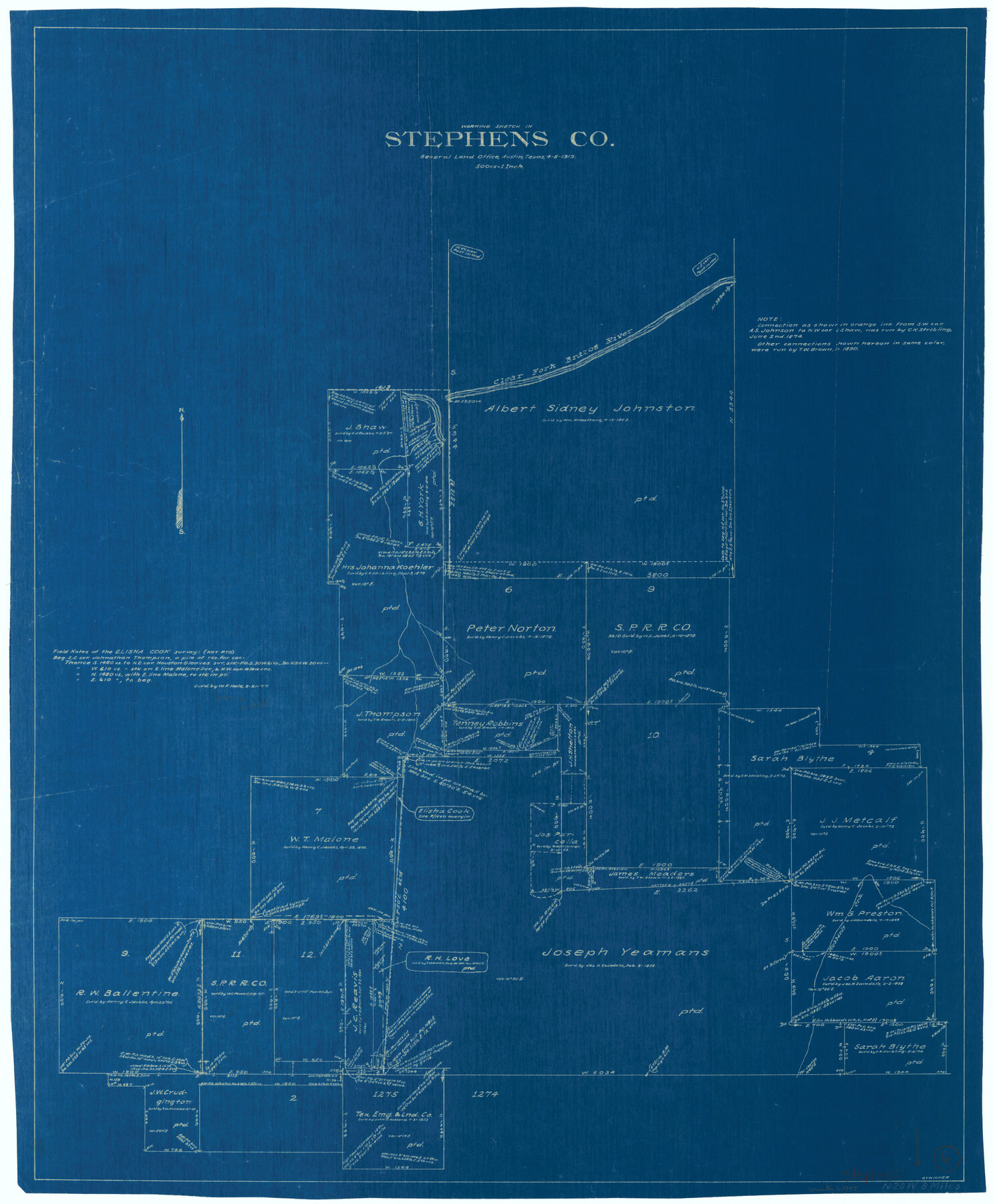
Stephens County Working Sketch 4
-
Map/Doc
63947
-
Collection
General Map Collection
-
Object Dates
4/8/1919 (Creation Date)
-
People and Organizations
G.T. Wicker (Draftsman)
-
Counties
Stephens
-
Subjects
Surveying Working Sketch
-
Height x Width
32.1 x 26.5 inches
81.5 x 67.3 cm
-
Scale
1" = 500 varas
Part of: General Map Collection
Wise County Sketch File 11

Print $4.00
- Digital $50.00
Wise County Sketch File 11
1860
Size 12.8 x 8.0 inches
Map/Doc 40544
La Salle County Sketch File 29

Print $4.00
- Digital $50.00
La Salle County Sketch File 29
1889
Size 9.0 x 13.6 inches
Map/Doc 29561
Terrell County Sketch File 23

Print $10.00
- Digital $50.00
Terrell County Sketch File 23
1932
Size 14.3 x 8.9 inches
Map/Doc 37954
Nueces County Sketch File 5

Print $4.00
- Digital $50.00
Nueces County Sketch File 5
Size 8.1 x 11.0 inches
Map/Doc 32507
United States - Gulf Coast Texas - Southern part of Laguna Madre

Print $20.00
- Digital $50.00
United States - Gulf Coast Texas - Southern part of Laguna Madre
1941
Size 26.4 x 18.2 inches
Map/Doc 72945
Haskell County Working Sketch 8

Print $20.00
- Digital $50.00
Haskell County Working Sketch 8
1957
Size 22.8 x 24.0 inches
Map/Doc 66066

Crosby County Sketch File 21

Print $6.00
- Digital $50.00
Crosby County Sketch File 21
Size 13.8 x 8.8 inches
Map/Doc 20087
Hutchinson County Sketch File 29

Print $20.00
- Digital $50.00
Hutchinson County Sketch File 29
Size 16.7 x 20.8 inches
Map/Doc 11818
Fort Parker State Park

Print $20.00
- Digital $50.00
Fort Parker State Park
1950
Size 26.0 x 37.8 inches
Map/Doc 73569
Gonzales County

Print $20.00
- Digital $50.00
Gonzales County
1871
Size 17.2 x 25.8 inches
Map/Doc 3593
Flight Mission No. CGN-3P, Frame 141, San Patricio County

Print $20.00
- Digital $50.00
Flight Mission No. CGN-3P, Frame 141, San Patricio County
1956
Size 18.6 x 22.4 inches
Map/Doc 86985
You may also like
Armstrong County Sketch File 4a

Print $4.00
- Digital $50.00
Armstrong County Sketch File 4a
1883
Size 14.3 x 8.9 inches
Map/Doc 13687
Chambers County Rolled Sketch 11

Print $20.00
- Digital $50.00
Chambers County Rolled Sketch 11
Size 20.0 x 26.5 inches
Map/Doc 5424
Flight Mission No. BRE-3P, Frame 39, Nueces County

Print $20.00
- Digital $50.00
Flight Mission No. BRE-3P, Frame 39, Nueces County
1956
Size 18.6 x 22.5 inches
Map/Doc 86817
Hudspeth County Sketch File 46

Print $20.00
- Digital $50.00
Hudspeth County Sketch File 46
1983
Size 17.5 x 14.0 inches
Map/Doc 27049
Erath County Sketch File 10

Print $4.00
- Digital $50.00
Erath County Sketch File 10
1871
Size 8.1 x 10.3 inches
Map/Doc 22275
Culberson County Rolled Sketch X1

Print $20.00
- Digital $50.00
Culberson County Rolled Sketch X1
1896
Size 20.1 x 20.1 inches
Map/Doc 5684
Terrell County Sketch File 36

Print $40.00
- Digital $50.00
Terrell County Sketch File 36
1958
Size 15.7 x 13.5 inches
Map/Doc 37998
Andrews County Sketch File 8

Print $36.00
- Digital $50.00
Andrews County Sketch File 8
1943
Size 11.2 x 8.9 inches
Map/Doc 12831
Flight Mission No. CUG-1P, Frame 83, Kleberg County

Print $20.00
- Digital $50.00
Flight Mission No. CUG-1P, Frame 83, Kleberg County
1956
Size 18.5 x 22.2 inches
Map/Doc 86148
Refugio County Sketch File 8a

Print $2.00
- Digital $50.00
Refugio County Sketch File 8a
Size 8.1 x 10.2 inches
Map/Doc 35253
Leon County Sketch File 29

Print $8.00
- Digital $50.00
Leon County Sketch File 29
1951
Size 11.2 x 8.8 inches
Map/Doc 29825
Corpus Christi Pass, Texas

Print $20.00
- Digital $50.00
Corpus Christi Pass, Texas
1871
Size 26.1 x 18.3 inches
Map/Doc 72981