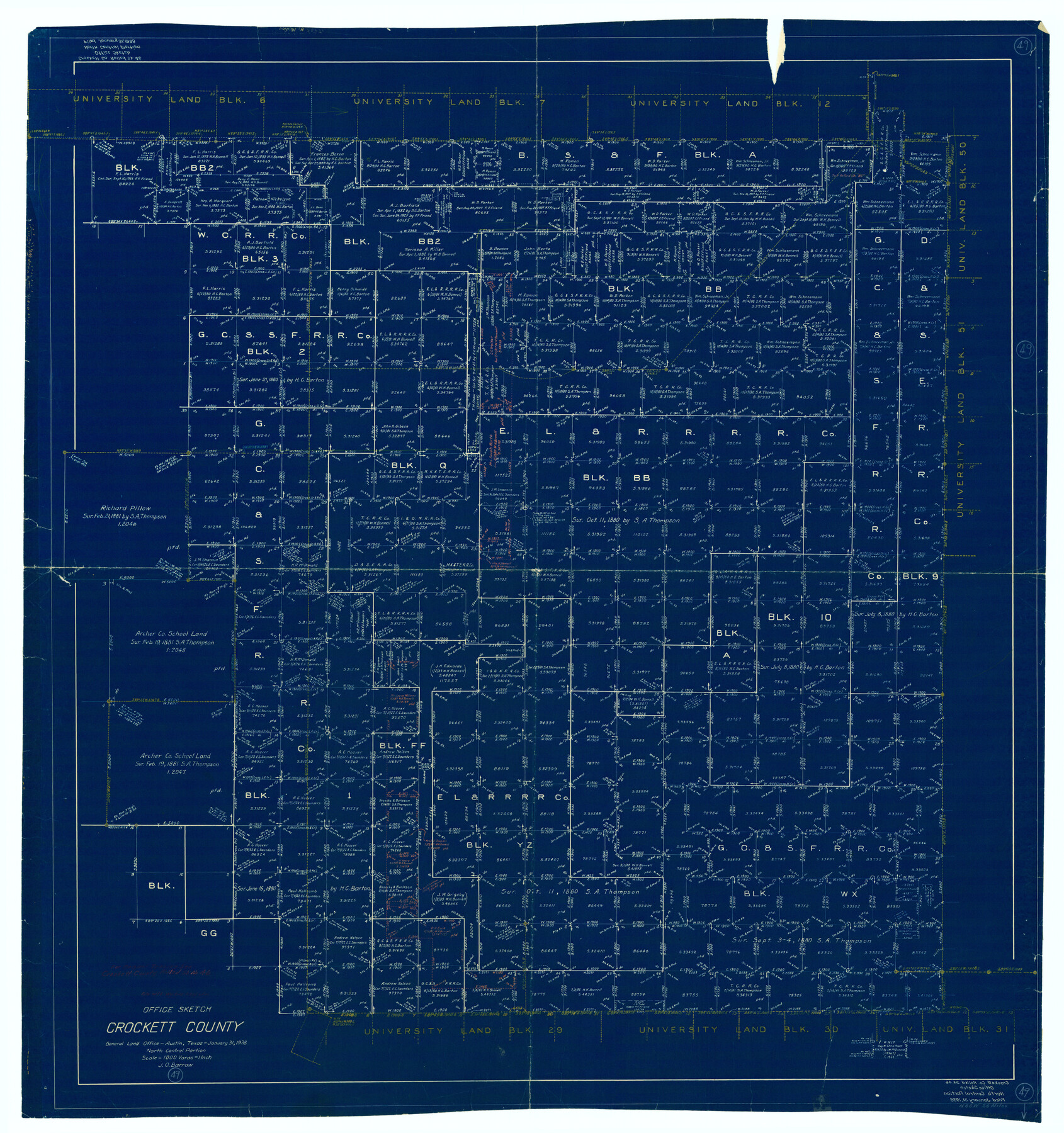
Crockett County Working Sketch 49
-
Map/Doc
68382
-
Collection
General Map Collection
-
Object Dates
1/31/1938 (Creation Date)
-
People and Organizations
J.O. Barrow (Draftsman)
-
Counties
Crockett
-
Subjects
Surveying Working Sketch
-
Height x Width
46.7 x 43.9 inches
118.6 x 111.5 cm
-
Scale
1" = 1000 varas
Part of: General Map Collection
Upshur County Sketch File 4

Print $4.00
- Digital $50.00
Upshur County Sketch File 4
1851
Size 4.7 x 6.5 inches
Map/Doc 38738
Cooke County Sketch File 15

Print $4.00
- Digital $50.00
Cooke County Sketch File 15
1860
Size 12.5 x 8.1 inches
Map/Doc 19250
Kaufman County Sketch File 1

Print $4.00
- Digital $50.00
Kaufman County Sketch File 1
Size 8.3 x 8.3 inches
Map/Doc 28624
Jim Wells Co.

Print $20.00
- Digital $50.00
Jim Wells Co.
1966
Size 43.8 x 32.4 inches
Map/Doc 95548
Current Miscellaneous File 52

Print $12.00
- Digital $50.00
Current Miscellaneous File 52
1953
Size 12.3 x 9.3 inches
Map/Doc 74032
Gaines County Rolled Sketch 9

Print $20.00
- Digital $50.00
Gaines County Rolled Sketch 9
Size 20.9 x 29.8 inches
Map/Doc 5929
Eastland County Sketch File 17

Print $18.00
- Digital $50.00
Eastland County Sketch File 17
1918
Size 13.6 x 8.9 inches
Map/Doc 21600
Harris County Sketch File 11

Print $18.00
- Digital $50.00
Harris County Sketch File 11
1895
Size 11.3 x 8.8 inches
Map/Doc 25342

Hudspeth County Working Sketch 54

Print $20.00
- Digital $50.00
Hudspeth County Working Sketch 54
1989
Size 18.8 x 36.2 inches
Map/Doc 66339
Galveston County Working Sketch Graphic Index

Print $40.00
- Digital $50.00
Galveston County Working Sketch Graphic Index
1939
Size 42.8 x 55.4 inches
Map/Doc 76551
Uvalde County Sketch File 19

Print $4.00
- Digital $50.00
Uvalde County Sketch File 19
1882
Size 10.6 x 8.6 inches
Map/Doc 39000
You may also like
Brown County Sketch File 27

Print $4.00
- Digital $50.00
Brown County Sketch File 27
1868
Size 13.3 x 8.1 inches
Map/Doc 16624
Val Verde County Working Sketch 35

Print $20.00
- Digital $50.00
Val Verde County Working Sketch 35
1941
Size 31.1 x 20.7 inches
Map/Doc 72170
Concho County Rolled Sketch 13

Print $20.00
- Digital $50.00
Concho County Rolled Sketch 13
1958
Size 23.7 x 20.3 inches
Map/Doc 78461
Map of the Middle States designed to accompany Smith's Geography for Schools

Print $20.00
- Digital $50.00
Map of the Middle States designed to accompany Smith's Geography for Schools
1850
Size 19.4 x 12.2 inches
Map/Doc 93887
Preliminary Sketch of Galveston Bay, Texas

Print $20.00
Preliminary Sketch of Galveston Bay, Texas
1852
Size 22.6 x 18.3 inches
Map/Doc 79317
Flight Mission No. DQO-7K, Frame 101, Galveston County

Print $20.00
- Digital $50.00
Flight Mission No. DQO-7K, Frame 101, Galveston County
1952
Size 18.7 x 22.6 inches
Map/Doc 85116
Bee County Rolled Sketch 1

Print $20.00
- Digital $50.00
Bee County Rolled Sketch 1
2022
Size 24.4 x 36.0 inches
Map/Doc 97029
Flight Mission No. DIX-10P, Frame 177, Aransas County

Print $20.00
- Digital $50.00
Flight Mission No. DIX-10P, Frame 177, Aransas County
1956
Size 18.6 x 22.3 inches
Map/Doc 83967
Rusk County Working Sketch 8

Print $20.00
- Digital $50.00
Rusk County Working Sketch 8
1981
Size 22.4 x 20.6 inches
Map/Doc 63643
Flight Mission No. BRE-2P, Frame 102, Nueces County

Print $20.00
- Digital $50.00
Flight Mission No. BRE-2P, Frame 102, Nueces County
1956
Size 18.4 x 22.2 inches
Map/Doc 86787
Trinity River, Waxahachie Sheet/Waxahachie Creek

Print $6.00
- Digital $50.00
Trinity River, Waxahachie Sheet/Waxahachie Creek
1931
Size 30.1 x 32.8 inches
Map/Doc 65237
[Cotton Belt, St. Louis Southwestern Railway of Texas, Alignment through Smith County]
![64385, [Cotton Belt, St. Louis Southwestern Railway of Texas, Alignment through Smith County], General Map Collection](https://historictexasmaps.com/wmedia_w700/maps/64385.tif.jpg)
Print $20.00
- Digital $50.00
[Cotton Belt, St. Louis Southwestern Railway of Texas, Alignment through Smith County]
1903
Size 21.6 x 29.8 inches
Map/Doc 64385