[Cotton Belt, St. Louis Southwestern Railway of Texas, Alignment through Smith County]
Z-2-97
-
Map/Doc
64385
-
Collection
General Map Collection
-
Object Dates
1903 (Creation Date)
1903/10/16 (File Date)
-
Counties
Smith
-
Subjects
Railroads
-
Height x Width
21.6 x 29.8 inches
54.9 x 75.7 cm
-
Medium
blueprint/diazo
-
Scale
1"=400'
-
Comments
See counter no. 64372 for label on reverse side of map.
-
Features
SLS
Part of: General Map Collection
Lubbock County Rolled Sketch 6
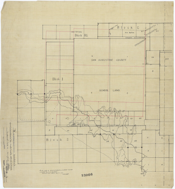

Print $20.00
- Digital $50.00
Lubbock County Rolled Sketch 6
1914
Size 26.0 x 24.1 inches
Map/Doc 6642
Schleicher County Sketch File 28
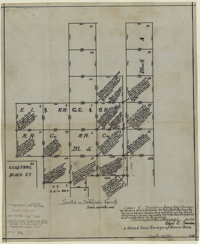

Print $40.00
- Digital $50.00
Schleicher County Sketch File 28
1939
Size 17.4 x 14.2 inches
Map/Doc 36526
Bosque County Working Sketch 13
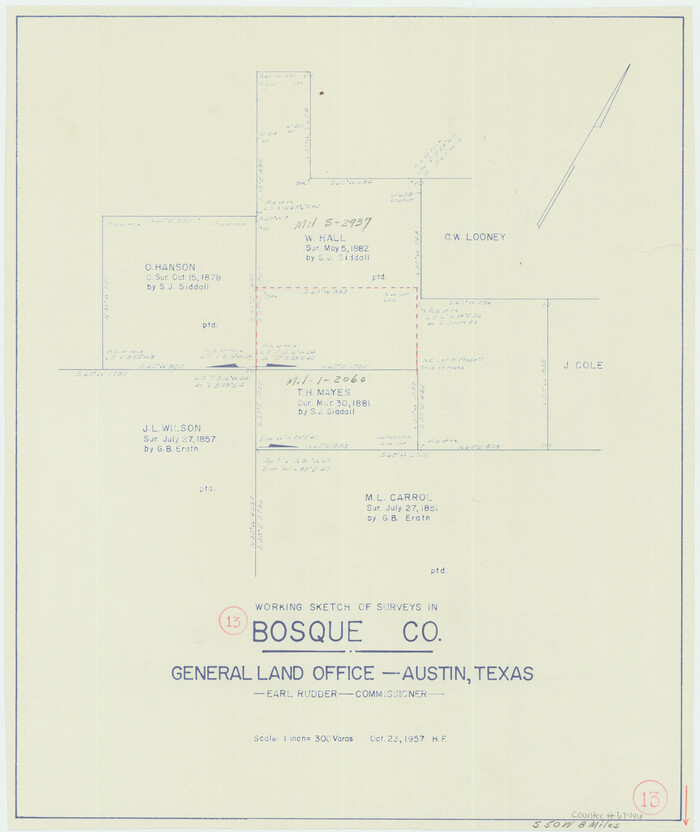

Print $20.00
- Digital $50.00
Bosque County Working Sketch 13
1957
Size 17.2 x 14.5 inches
Map/Doc 67446
Knox County Sketch File 23


Print $20.00
- Digital $50.00
Knox County Sketch File 23
1931
Size 21.4 x 15.3 inches
Map/Doc 11963
Live Oak County Boundary File 1

Print $24.00
- Digital $50.00
Live Oak County Boundary File 1
Size 9.0 x 4.2 inches
Map/Doc 56387
Stonewall County Sketch File 12A


Print $20.00
- Digital $50.00
Stonewall County Sketch File 12A
Size 25.6 x 17.4 inches
Map/Doc 12364
Pecos County Boundary File 69
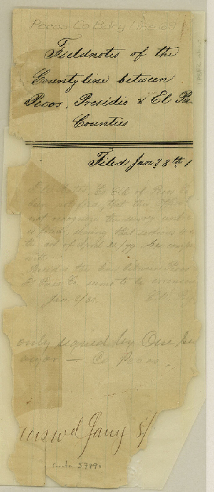

Print $22.00
- Digital $50.00
Pecos County Boundary File 69
Size 7.8 x 3.4 inches
Map/Doc 57890
Liberty County Sketch File 25
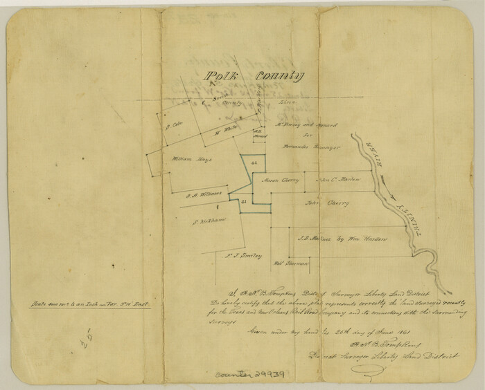

Print $8.00
- Digital $50.00
Liberty County Sketch File 25
1861
Size 8.0 x 10.0 inches
Map/Doc 29939
Menard County Boundary File 3a


Print $4.00
- Digital $50.00
Menard County Boundary File 3a
Size 10.6 x 8.1 inches
Map/Doc 57074
Atascosa County Sketch File 8

Print $6.00
- Digital $50.00
Atascosa County Sketch File 8
1857
Size 8.7 x 7.7 inches
Map/Doc 13758
You may also like
Jeff Davis County Rolled Sketch T4


Print $20.00
- Digital $50.00
Jeff Davis County Rolled Sketch T4
Size 28.9 x 23.9 inches
Map/Doc 6382
Lampasas County Working Sketch 9
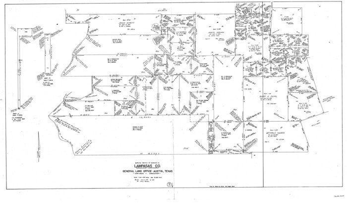

Print $40.00
- Digital $50.00
Lampasas County Working Sketch 9
1963
Size 32.9 x 56.3 inches
Map/Doc 70286
Fayette County
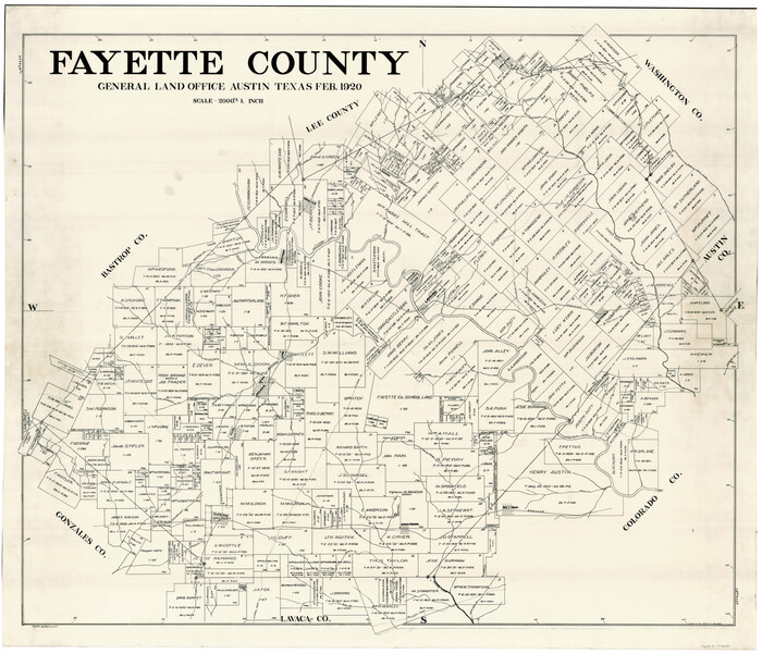

Print $40.00
- Digital $50.00
Fayette County
1920
Size 42.7 x 49.8 inches
Map/Doc 4945
Map of Eastland County
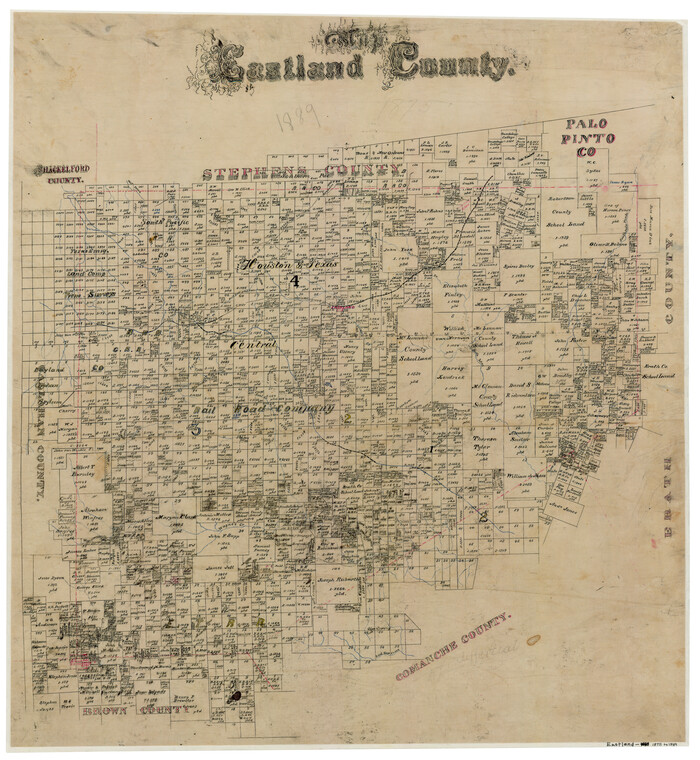

Print $20.00
- Digital $50.00
Map of Eastland County
1889
Size 22.9 x 21.2 inches
Map/Doc 3502
[G. H. & H. Block 2]
![91894, [G. H. & H. Block 2], Twichell Survey Records](https://historictexasmaps.com/wmedia_w700/maps/91894-1.tif.jpg)
![91894, [G. H. & H. Block 2], Twichell Survey Records](https://historictexasmaps.com/wmedia_w700/maps/91894-1.tif.jpg)
Print $20.00
- Digital $50.00
[G. H. & H. Block 2]
Size 20.6 x 18.4 inches
Map/Doc 91894
Hardeman County Rolled Sketch 25
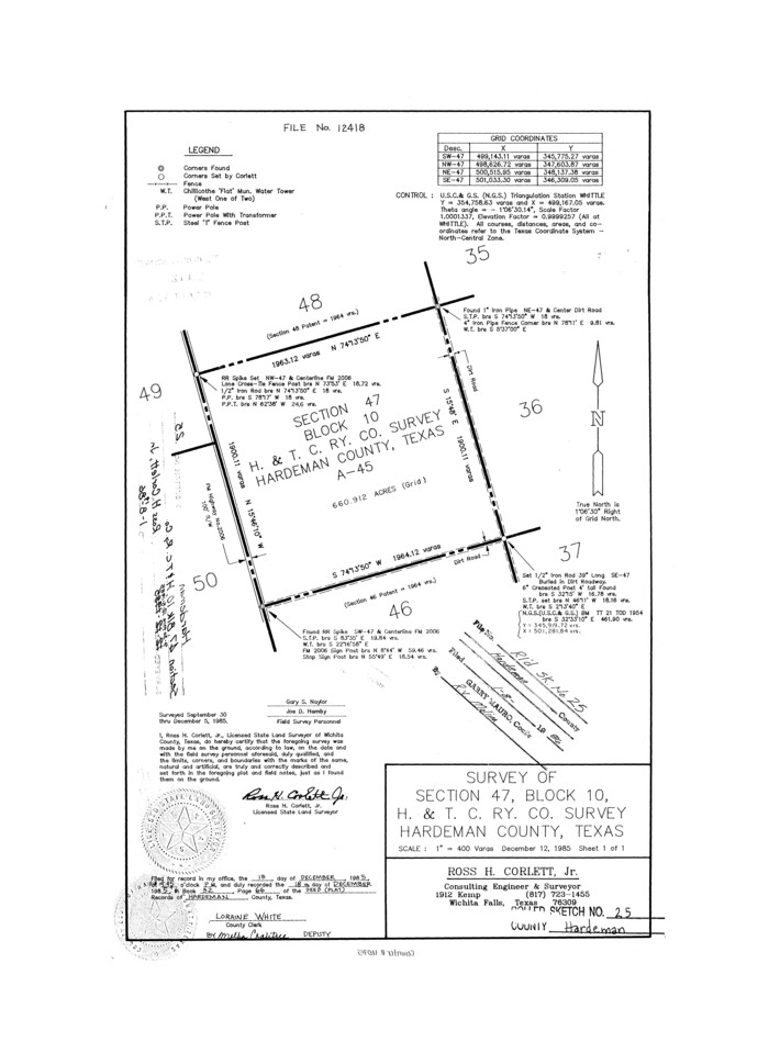

Print $20.00
- Digital $50.00
Hardeman County Rolled Sketch 25
1985
Size 20.9 x 15.1 inches
Map/Doc 6075
Dickens County Rolled Sketch 5A


Print $40.00
- Digital $50.00
Dickens County Rolled Sketch 5A
1947
Size 60.3 x 40.9 inches
Map/Doc 8788
Comanche County Working Sketch 21
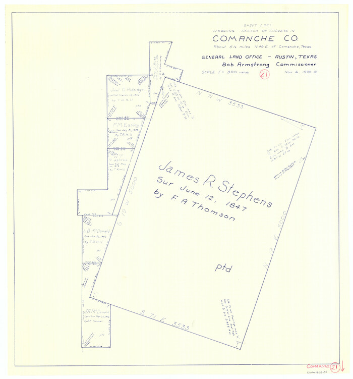

Print $20.00
- Digital $50.00
Comanche County Working Sketch 21
1973
Size 28.0 x 26.1 inches
Map/Doc 68155
Flight Mission No. CGI-3N, Frame 160, Cameron County
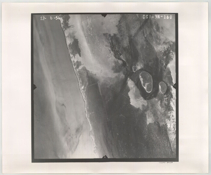

Print $20.00
- Digital $50.00
Flight Mission No. CGI-3N, Frame 160, Cameron County
1954
Size 18.5 x 22.3 inches
Map/Doc 84624
Mills County Working Sketch 15
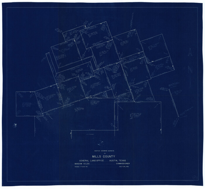

Print $20.00
- Digital $50.00
Mills County Working Sketch 15
1951
Size 38.4 x 41.6 inches
Map/Doc 71045
Blanco County Rolled Sketch 22
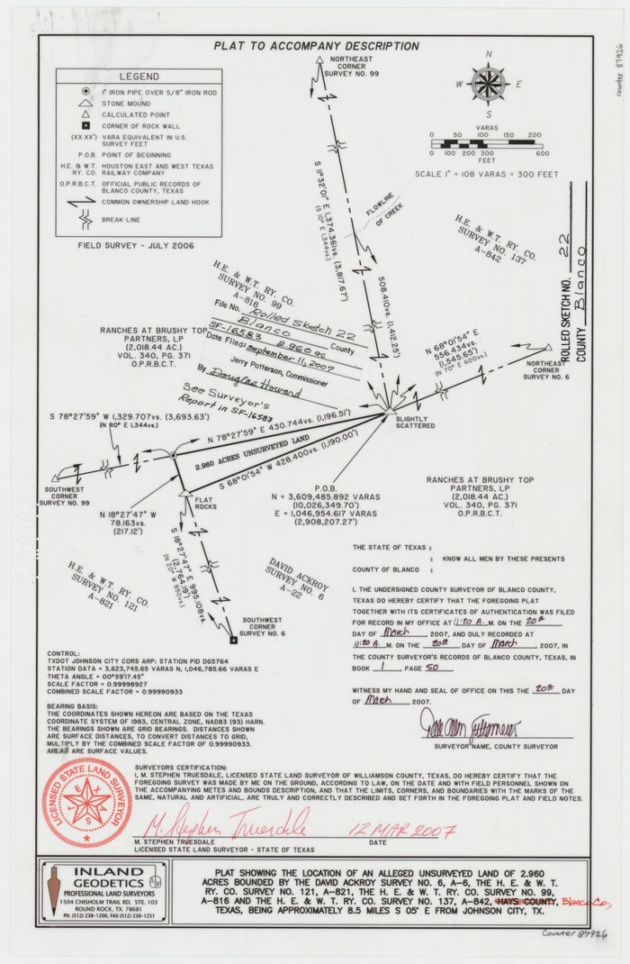

Print $20.00
- Digital $50.00
Blanco County Rolled Sketch 22
2007
Size 17.4 x 11.4 inches
Map/Doc 87926
Corpus Christi Bay


Print $20.00
- Digital $50.00
Corpus Christi Bay
1971
Size 36.2 x 47.6 inches
Map/Doc 73473
![64385, [Cotton Belt, St. Louis Southwestern Railway of Texas, Alignment through Smith County], General Map Collection](https://historictexasmaps.com/wmedia_w1800h1800/maps/64385.tif.jpg)

