Atascosa County Sketch File 8
[Sketch of J.N. Seguin survey and surrounding area on the Atascosa River]
-
Map/Doc
13758
-
Collection
General Map Collection
-
Object Dates
1857/5/20 (Creation Date)
-
People and Organizations
R.P. Kelley (Surveyor/Engineer)
-
Counties
Atascosa
-
Subjects
Surveying Sketch File
-
Height x Width
8.7 x 7.7 inches
22.1 x 19.6 cm
-
Medium
paper, manuscript
-
Scale
1" = 2000 varas
-
Features
Elm Creek
Sulphur Creek
Atascoso [sic] Creek
Part of: General Map Collection
[Map of Coahuila and Nuevo Leon]
![97128, [Map of Coahuila and Nuevo Leon], General Map Collection](https://historictexasmaps.com/wmedia_w700/maps/97128.tif.jpg)
![97128, [Map of Coahuila and Nuevo Leon], General Map Collection](https://historictexasmaps.com/wmedia_w700/maps/97128.tif.jpg)
Print $20.00
- Digital $50.00
[Map of Coahuila and Nuevo Leon]
1873
Size 16.8 x 11.6 inches
Map/Doc 97128
Moore County Sketch File 13


Print $24.00
- Digital $50.00
Moore County Sketch File 13
1919
Size 7.0 x 8.7 inches
Map/Doc 31949
Baie de Galvez-Town


Print $20.00
- Digital $50.00
Baie de Galvez-Town
1820
Size 10.3 x 12.9 inches
Map/Doc 95832
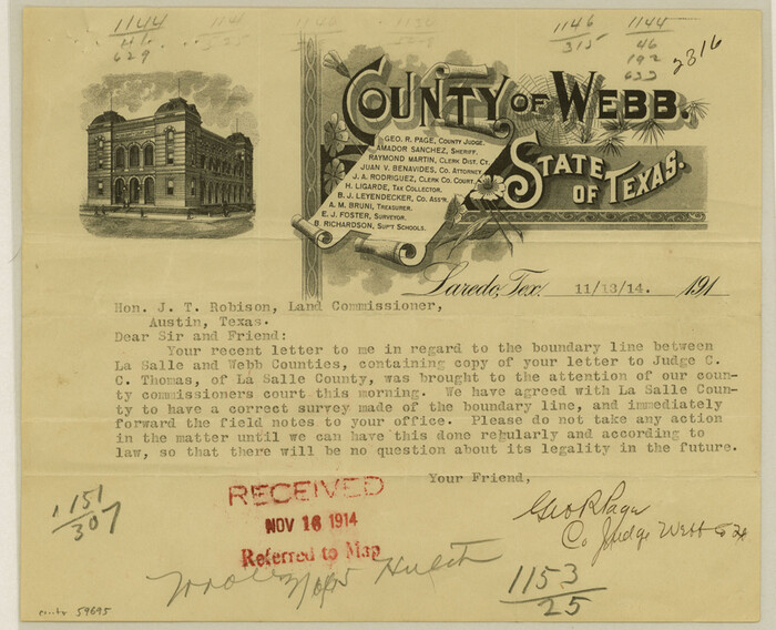
Webb County Boundary File 1

Print $16.00
- Digital $50.00
Webb County Boundary File 1
Size 7.2 x 8.9 inches
Map/Doc 59695
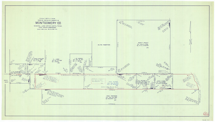
Montgomery County Working Sketch 60

Print $20.00
- Digital $50.00
Montgomery County Working Sketch 60
1963
Size 24.3 x 42.7 inches
Map/Doc 71167
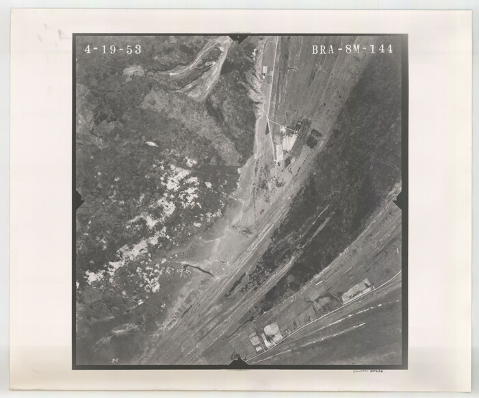
Flight Mission No. BRA-8M, Frame 144, Jefferson County

Print $20.00
- Digital $50.00
Flight Mission No. BRA-8M, Frame 144, Jefferson County
1953
Size 18.8 x 22.6 inches
Map/Doc 85636
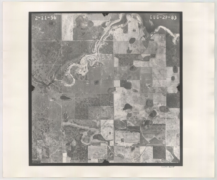
Flight Mission No. CUG-2P, Frame 83, Kleberg County

Print $20.00
- Digital $50.00
Flight Mission No. CUG-2P, Frame 83, Kleberg County
1956
Size 18.5 x 22.3 inches
Map/Doc 86215
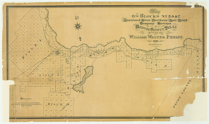
Reeves County Rolled Sketch 4

Print $20.00
- Digital $50.00
Reeves County Rolled Sketch 4
1891
Size 23.9 x 39.6 inches
Map/Doc 7476
Overlay For Flight Mission No. BRE-2P, Frame 110 of H. A. Pierce Corrected Survey, December 21, 1950 of Cyrus Egery Survey of June 15, 1855


Print $20.00
- Digital $50.00
Overlay For Flight Mission No. BRE-2P, Frame 110 of H. A. Pierce Corrected Survey, December 21, 1950 of Cyrus Egery Survey of June 15, 1855
1956
Size 18.3 x 20.4 inches
Map/Doc 86795
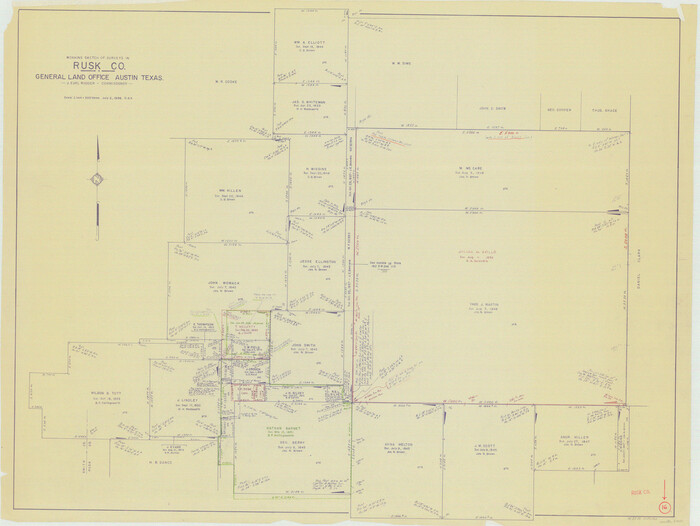
Rusk County Working Sketch 16

Print $20.00
- Digital $50.00
Rusk County Working Sketch 16
1956
Size 32.1 x 42.7 inches
Map/Doc 63651
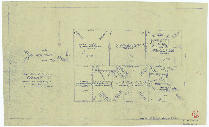
Orange County Working Sketch 26

Print $20.00
- Digital $50.00
Orange County Working Sketch 26
1953
Size 13.4 x 22.0 inches
Map/Doc 71358
La Salle County Working Sketch 28


Print $20.00
- Digital $50.00
La Salle County Working Sketch 28
1954
Size 36.8 x 37.8 inches
Map/Doc 70329
You may also like
Robertson County Sketch File 4


Print $12.00
Robertson County Sketch File 4
1862
Size 11.0 x 8.0 inches
Map/Doc 35352
[Val Verde County]
![63096, [Val Verde County], General Map Collection](https://historictexasmaps.com/wmedia_w700/maps/63096.tif.jpg)
![63096, [Val Verde County], General Map Collection](https://historictexasmaps.com/wmedia_w700/maps/63096.tif.jpg)
Print $20.00
- Digital $50.00
[Val Verde County]
1898
Size 42.6 x 34.9 inches
Map/Doc 63096
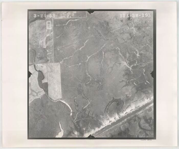
Flight Mission No. BRA-3M, Frame 195, Jefferson County

Print $20.00
- Digital $50.00
Flight Mission No. BRA-3M, Frame 195, Jefferson County
1953
Size 18.6 x 22.3 inches
Map/Doc 85410
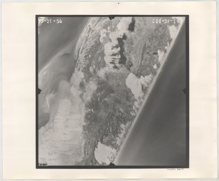
Flight Mission No. CUG-3P, Frame 193, Kleberg County

Print $20.00
- Digital $50.00
Flight Mission No. CUG-3P, Frame 193, Kleberg County
1956
Size 18.4 x 22.3 inches
Map/Doc 86297
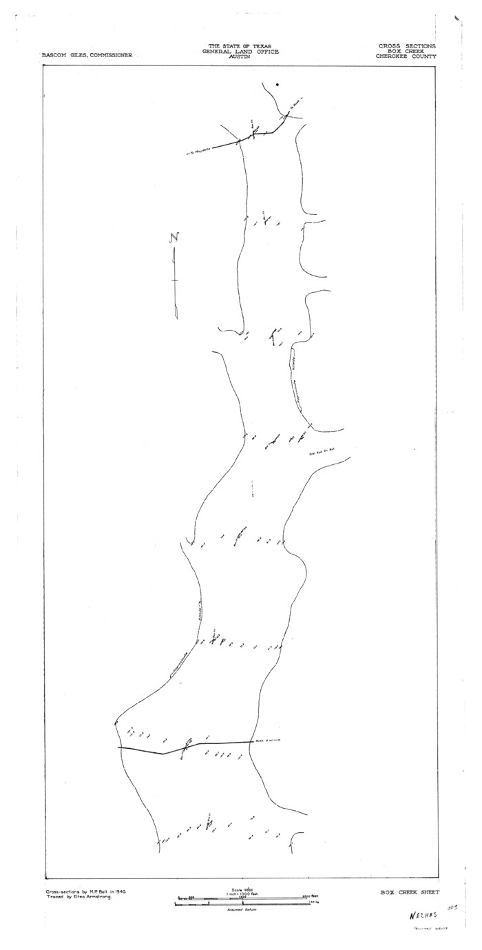
Neches River, Box Creek Sheet Cross Section

Print $6.00
- Digital $50.00
Neches River, Box Creek Sheet Cross Section
1940
Size 37.0 x 18.8 inches
Map/Doc 65079
McLennan County Boundary File 3


Print $8.00
- Digital $50.00
McLennan County Boundary File 3
Size 11.2 x 8.7 inches
Map/Doc 56963
Brewster County Rolled Sketch 114


Print $20.00
- Digital $50.00
Brewster County Rolled Sketch 114
1964
Size 11.8 x 18.5 inches
Map/Doc 5264
Duval County Sketch File 66


Print $12.00
- Digital $50.00
Duval County Sketch File 66
1944
Size 14.5 x 8.8 inches
Map/Doc 21444
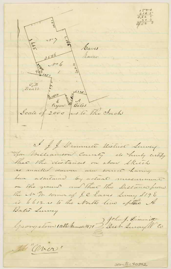
Williamson County Sketch File 18

Print $6.00
- Digital $50.00
Williamson County Sketch File 18
1871
Size 12.8 x 8.1 inches
Map/Doc 40342
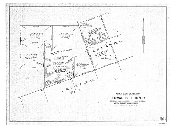
Edwards County Working Sketch 96

Print $20.00
- Digital $50.00
Edwards County Working Sketch 96
1969
Size 25.1 x 34.1 inches
Map/Doc 68972
Karnes County Working Sketch 8


Print $40.00
- Digital $50.00
Karnes County Working Sketch 8
1962
Size 51.8 x 36.0 inches
Map/Doc 66656
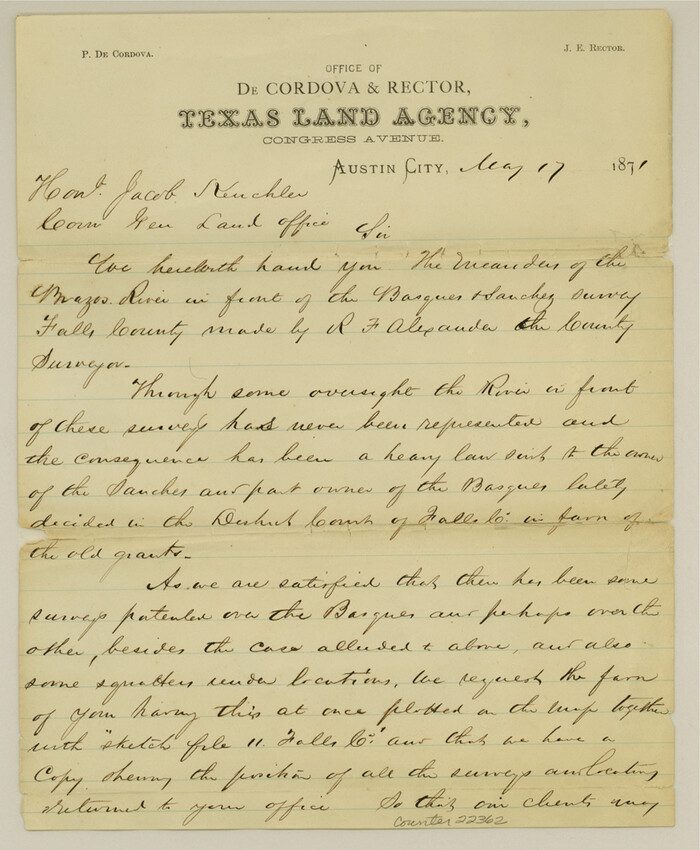
Falls County Sketch File 11b

Print $4.00
- Digital $50.00
Falls County Sketch File 11b
1871
Size 10.4 x 8.5 inches
Map/Doc 22362
