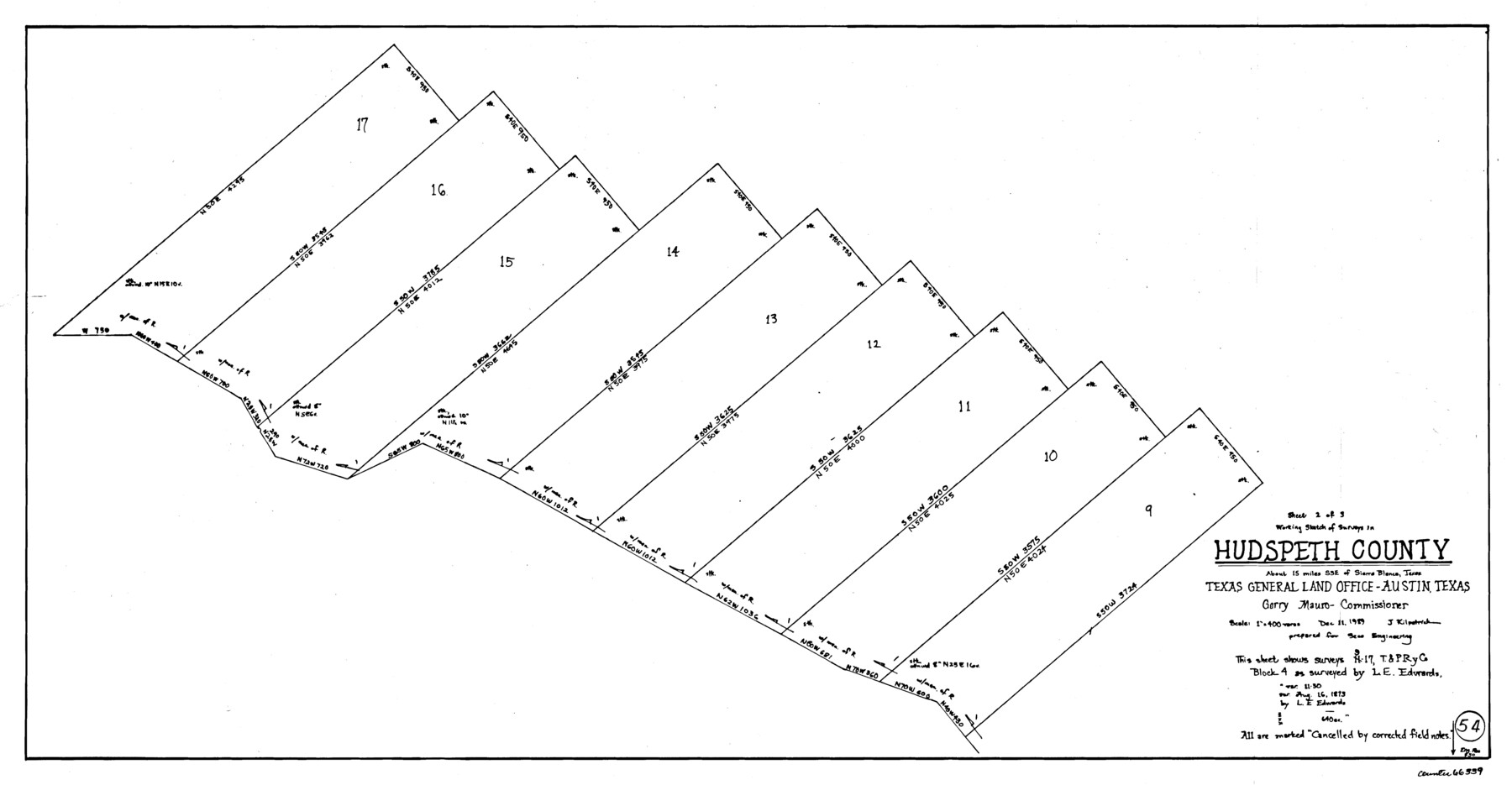
Hudspeth County Working Sketch 54
-
Map/Doc
66339
-
Collection
General Map Collection
-
Object Dates
12/11/1989 (Creation Date)
-
People and Organizations
Joan Kilpatrick (Draftsman)
-
Counties
Hudspeth
-
Subjects
Surveying Working Sketch
-
Height x Width
18.8 x 36.2 inches
47.8 x 92.0 cm
-
Scale
1" = 400 varas
Part of: General Map Collection
Jefferson County Sketch File 23

Print $20.00
- Digital $50.00
Jefferson County Sketch File 23
Size 15.8 x 17.8 inches
Map/Doc 11871
Travis County Sketch File 10

Print $16.00
- Digital $50.00
Travis County Sketch File 10
1863
Size 7.7 x 13.7 inches
Map/Doc 38292
Flight Mission No. CUG-3P, Frame 15, Kleberg County

Print $20.00
- Digital $50.00
Flight Mission No. CUG-3P, Frame 15, Kleberg County
1956
Size 18.8 x 22.4 inches
Map/Doc 86225
Menard County Sketch File 12

Print $12.00
- Digital $50.00
Menard County Sketch File 12
1892
Size 11.1 x 8.2 inches
Map/Doc 31500
Hays County Sketch File 32

Print $8.00
- Digital $50.00
Hays County Sketch File 32
Size 14.3 x 8.8 inches
Map/Doc 26264
Preliminary Chart No. 31 of the Sea Coast of the United States from Galveston Bay to Matagorda Bay, Texas

Print $20.00
- Digital $50.00
Preliminary Chart No. 31 of the Sea Coast of the United States from Galveston Bay to Matagorda Bay, Texas
1857
Size 22.7 x 38.7 inches
Map/Doc 69949
San Augustine County Sketch File 21

Print $4.00
- Digital $50.00
San Augustine County Sketch File 21
1873
Size 12.8 x 7.9 inches
Map/Doc 35685
Matagorda County Sketch File 7

Print $20.00
- Digital $50.00
Matagorda County Sketch File 7
1890
Size 37.3 x 24.6 inches
Map/Doc 12038
Boundary Between the United States & Mexico Agreed upon by the Joint Commission under the Treaty of Guadalupe Hidalgo

Print $4.00
- Digital $50.00
Boundary Between the United States & Mexico Agreed upon by the Joint Commission under the Treaty of Guadalupe Hidalgo
1853
Size 18.2 x 26.8 inches
Map/Doc 72882
Edwards County Sketch File 9

Print $20.00
- Digital $50.00
Edwards County Sketch File 9
Size 16.9 x 37.8 inches
Map/Doc 10443
Bexar County Sketch File 52

Print $28.00
- Digital $50.00
Bexar County Sketch File 52
1935
Size 13.5 x 16.8 inches
Map/Doc 14534
Scurry County

Print $20.00
- Digital $50.00
Scurry County
1921
Size 39.0 x 36.1 inches
Map/Doc 77419
You may also like
Atascosa County Sketch File 3

Print $14.00
- Digital $50.00
Atascosa County Sketch File 3
1854
Size 9.1 x 8.6 inches
Map/Doc 13730
Lampasas County Sketch File 16

Print $20.00
- Digital $50.00
Lampasas County Sketch File 16
1893
Size 22.8 x 20.8 inches
Map/Doc 11976
Crockett County Rolled Sketch 44

Print $20.00
- Digital $50.00
Crockett County Rolled Sketch 44
Size 44.5 x 36.8 inches
Map/Doc 76170
Schleicher County Rolled Sketch 1

Print $20.00
- Digital $50.00
Schleicher County Rolled Sketch 1
1888
Size 25.3 x 18.4 inches
Map/Doc 7745
Cherokee County Sketch File 5

Print $12.00
- Digital $50.00
Cherokee County Sketch File 5
1852
Size 12.4 x 8.6 inches
Map/Doc 18120
Midland County Working Sketch 19a

Print $20.00
- Digital $50.00
Midland County Working Sketch 19a
Size 20.2 x 23.4 inches
Map/Doc 71000
Flight Mission No. DQO-13T, Frame 48, Galveston County

Print $20.00
- Digital $50.00
Flight Mission No. DQO-13T, Frame 48, Galveston County
1958
Size 18.5 x 18.2 inches
Map/Doc 85212
Flight Mission No. DQO-2K, Frame 146, Galveston County

Print $20.00
- Digital $50.00
Flight Mission No. DQO-2K, Frame 146, Galveston County
1952
Size 18.7 x 22.4 inches
Map/Doc 85043
Live Oak County Sketch File 24

Print $20.00
- Digital $50.00
Live Oak County Sketch File 24
1912
Size 20.0 x 19.6 inches
Map/Doc 12010
Terrell County Rolled Sketch 22

Print $20.00
- Digital $50.00
Terrell County Rolled Sketch 22
1903
Size 27.1 x 24.1 inches
Map/Doc 7930
[Blocks 57, 56, 55, 54, 76, 53]
![92928, [Blocks 57, 56, 55, 54, 76, 53], Twichell Survey Records](https://historictexasmaps.com/wmedia_w700/maps/92928-1.tif.jpg)
Print $20.00
- Digital $50.00
[Blocks 57, 56, 55, 54, 76, 53]
Size 36.6 x 23.1 inches
Map/Doc 92928
Brazos Santiago, Texas

Print $20.00
- Digital $50.00
Brazos Santiago, Texas
1900
Size 18.3 x 26.8 inches
Map/Doc 73033