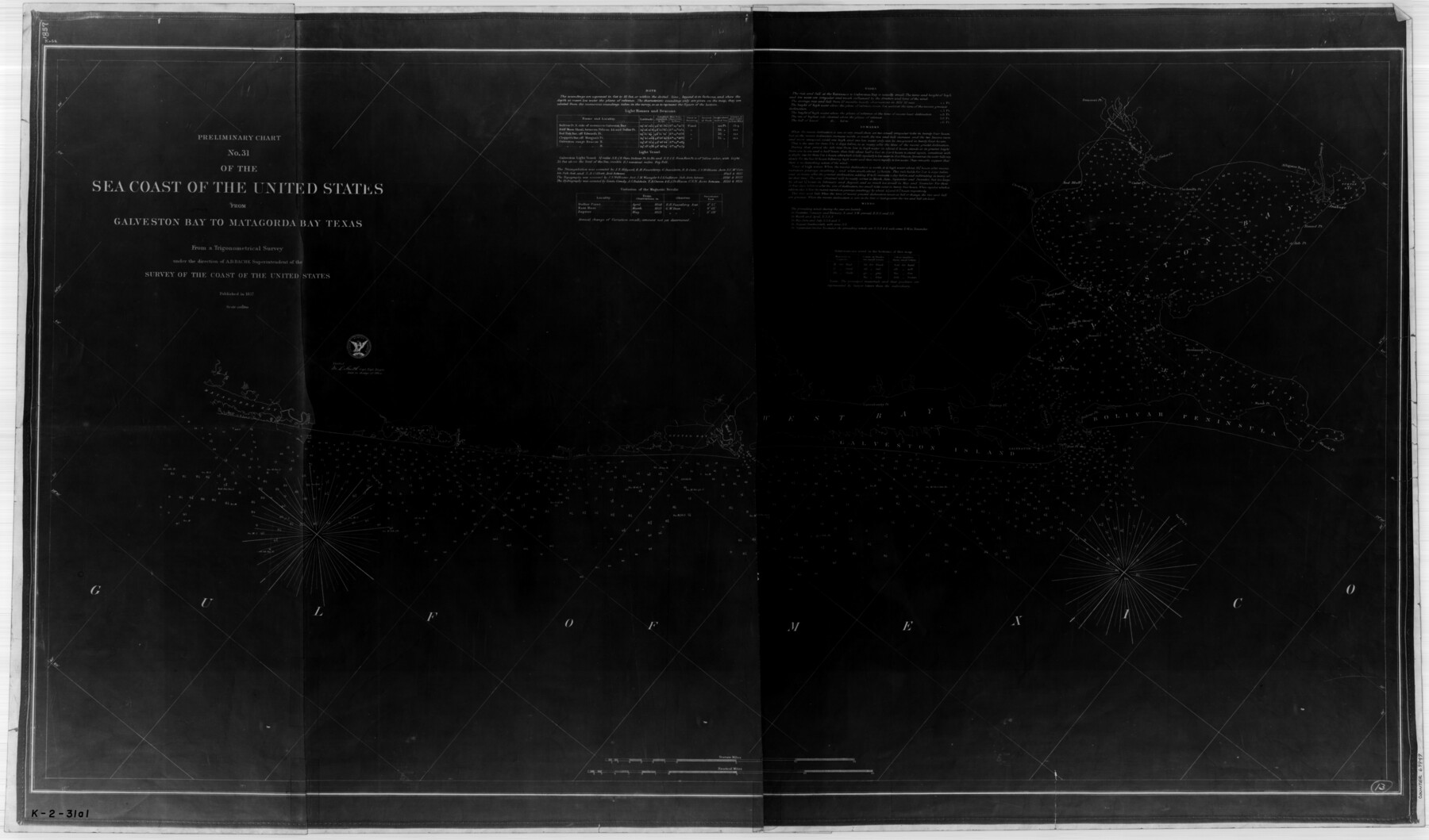
Preliminary Chart No. 31 of the Sea Coast of the United States from Galveston Bay to Matagorda Bay, Texas
K-2-31a1
-
Map/Doc
69949
-
Collection
General Map Collection
-
Object Dates
1857 (Creation Date)
-
Counties
Galveston Brazoria Matagorda Orange
-
Subjects
Nautical Charts
-
Height x Width
22.7 x 38.7 inches
57.7 x 98.3 cm
Part of: General Map Collection
Kimble County Sketch File 32

Print $20.00
- Digital $50.00
Kimble County Sketch File 32
1957
Size 18.4 x 21.6 inches
Map/Doc 11930
Shelby County Working Sketch 12

Print $40.00
- Digital $50.00
Shelby County Working Sketch 12
1946
Size 53.4 x 36.4 inches
Map/Doc 63865
Flight Mission No. DQO-1K, Frame 150, Galveston County

Print $20.00
- Digital $50.00
Flight Mission No. DQO-1K, Frame 150, Galveston County
1952
Size 19.1 x 22.6 inches
Map/Doc 85003
Bowie County Sketch File 10

Print $8.00
- Digital $50.00
Bowie County Sketch File 10
1992
Size 11.1 x 8.8 inches
Map/Doc 14912
Glasscock County Sketch File 9

Print $4.00
- Digital $50.00
Glasscock County Sketch File 9
1934
Size 11.3 x 8.8 inches
Map/Doc 24170
Hidalgo County Rolled Sketch 3

Print $20.00
- Digital $50.00
Hidalgo County Rolled Sketch 3
1881
Size 27.0 x 20.3 inches
Map/Doc 6206
Edwards County Sketch File 32 1/2

Print $6.00
- Digital $50.00
Edwards County Sketch File 32 1/2
Size 11.4 x 17.4 inches
Map/Doc 21767
Orange County Working Sketch 52

Print $20.00
- Digital $50.00
Orange County Working Sketch 52
2006
Size 31.9 x 47.5 inches
Map/Doc 83069
Right of Way and Track Map, The Wichita Falls & Southern Railway

Print $40.00
- Digital $50.00
Right of Way and Track Map, The Wichita Falls & Southern Railway
1942
Size 25.5 x 92.5 inches
Map/Doc 64513
Jones County Sketch File 10

Print $20.00
- Digital $50.00
Jones County Sketch File 10
1875
Size 14.3 x 22.2 inches
Map/Doc 11900
Map of Jasper County

Print $40.00
- Digital $50.00
Map of Jasper County
1898
Size 49.1 x 39.6 inches
Map/Doc 66879
Flight Mission No. DQO-2K, Frame 86, Galveston County

Print $20.00
- Digital $50.00
Flight Mission No. DQO-2K, Frame 86, Galveston County
1952
Size 19.0 x 22.5 inches
Map/Doc 85013
You may also like
Purchase Area Map, Ropesville Rural Communities, Hockley County, Texas

Print $40.00
- Digital $50.00
Purchase Area Map, Ropesville Rural Communities, Hockley County, Texas
1937
Size 52.9 x 29.3 inches
Map/Doc 89681
Atascosa County Working Sketch 17

Print $20.00
- Digital $50.00
Atascosa County Working Sketch 17
1945
Size 25.6 x 29.9 inches
Map/Doc 67213
Asher and Adams' Texas

Print $20.00
- Digital $50.00
Asher and Adams' Texas
1871
Size 25.4 x 18.5 inches
Map/Doc 93788
Polk County Working Sketch 12

Print $20.00
- Digital $50.00
Polk County Working Sketch 12
1942
Size 26.6 x 17.3 inches
Map/Doc 71627
Flight Mission No. DQO-6K, Frame 21, Galveston County

Print $20.00
- Digital $50.00
Flight Mission No. DQO-6K, Frame 21, Galveston County
1952
Size 18.7 x 22.3 inches
Map/Doc 85094
Val Verde County Rolled Sketch 77

Print $20.00
- Digital $50.00
Val Verde County Rolled Sketch 77
1981
Size 36.2 x 37.4 inches
Map/Doc 10087
Reconnoissance of Sabine River and Valley

Print $20.00
Reconnoissance of Sabine River and Valley
1863
Size 42.3 x 30.0 inches
Map/Doc 97501
Terrell County Working Sketch 46

Print $20.00
- Digital $50.00
Terrell County Working Sketch 46
1958
Size 23.8 x 23.4 inches
Map/Doc 62139
Flight Mission No. CRK-3P, Frame 131, Refugio County

Print $20.00
- Digital $50.00
Flight Mission No. CRK-3P, Frame 131, Refugio County
1956
Size 18.5 x 22.4 inches
Map/Doc 86919
Dimmit County Working Sketch 53

Print $20.00
- Digital $50.00
Dimmit County Working Sketch 53
1990
Size 25.5 x 26.0 inches
Map/Doc 68714
Rusk County Working Sketch 6

Print $20.00
- Digital $50.00
Rusk County Working Sketch 6
1982
Size 32.8 x 32.9 inches
Map/Doc 63641
Atascosa County Rolled Sketch 20A

Print $20.00
- Digital $50.00
Atascosa County Rolled Sketch 20A
Size 41.8 x 32.8 inches
Map/Doc 10224