
Hudspeth County Sketch File 4b
1860

Hudspeth County Sketch File 8
1886
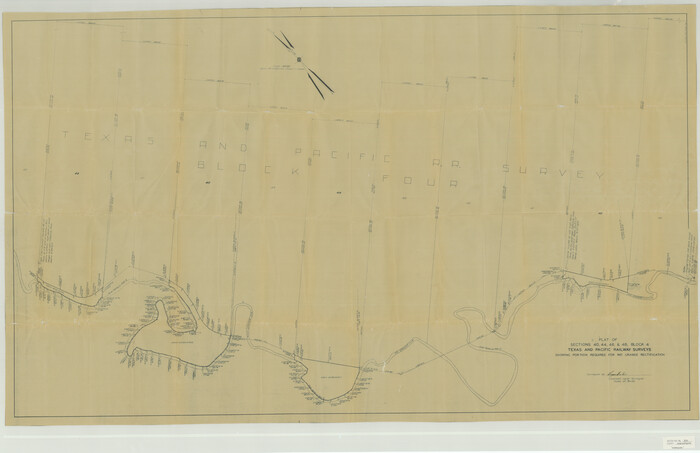
Hudspeth County Sketch File 20
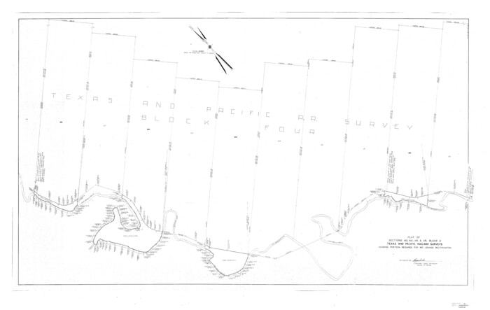
Hudspeth County Sketch File 21
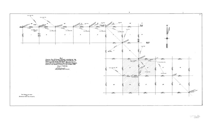
Hudspeth County Sketch File 26
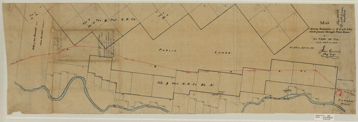
Hudspeth County Sketch File 35
1886
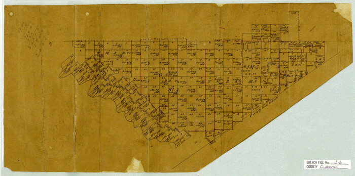
Culberson County Sketch File 1b
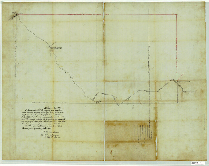
Culberson County Sketch File 2
1882

Culberson County Sketch File 15
1933
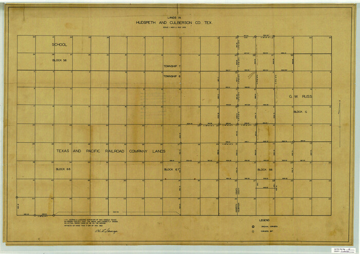
Culberson County Sketch File 16
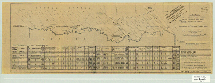
Presidio County Sketch File 112
1983
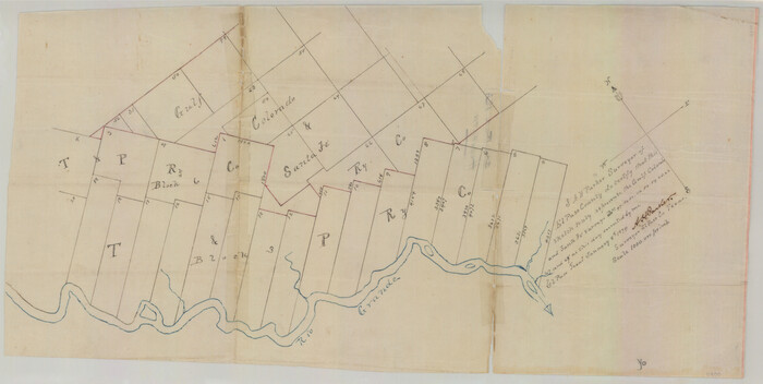
Hudspeth county Sketch File 12a
1894
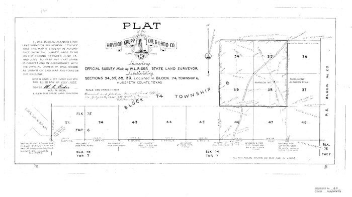
Hudspeth County Sketch File 23
1935
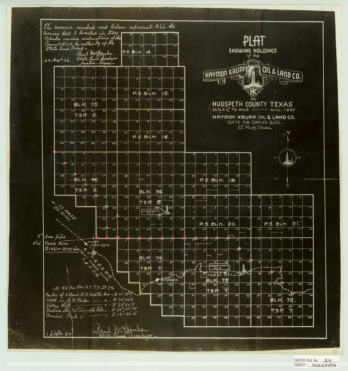
Hudspeth County Sketch File 24
1936

Hudspeth County Sketch File 28
1943
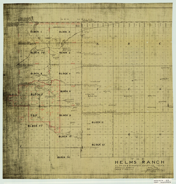
Hudspeth County Sketch File 29
1918

Hudspeth County Sketch File 31
1908
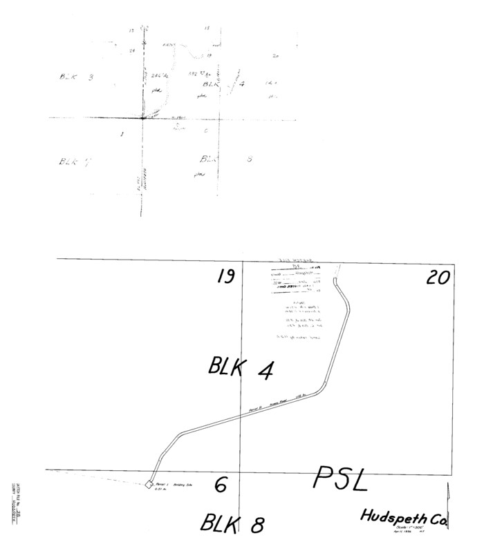
Hudspeth County Sketch File 38

Hudspeth County Sketch File 52
1983

Culberson County Sketch File 7
1888
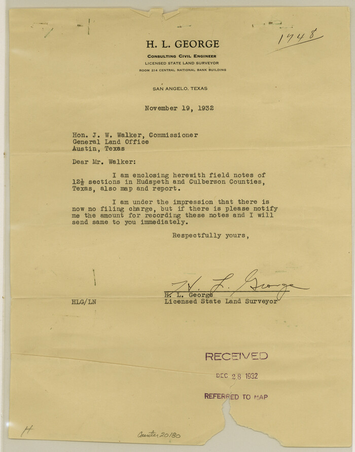
Culberson County Sketch File 17
1932
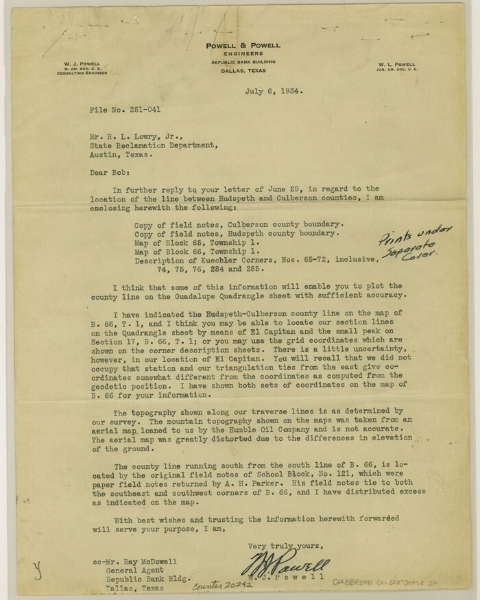
Culberson County Sketch File 24
1934

Culberson County Sketch File 30
1950

Plat of Re-survey Section 8, Block 66 1/2, Public School Land
1972
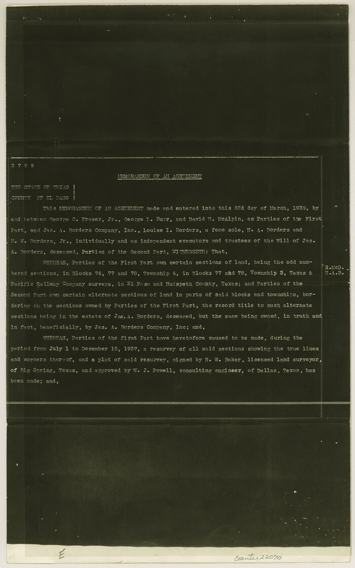
El Paso County Sketch File 28
1939

El Paso County Sketch File 32
1983
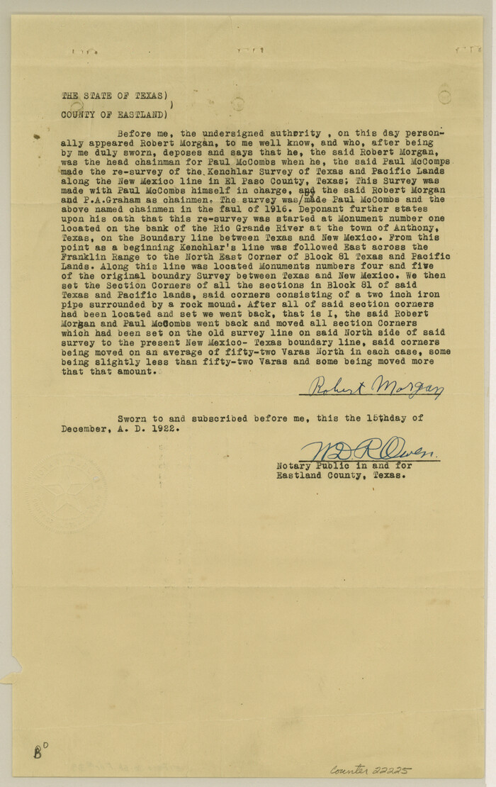
El Paso County Sketch File 39
1922
![2249, [Letters to and from Maj. W. J. Powell regarding surveys of Texas and Pacific Ry. Lands west of the Pecos. Blks 53-55, Township 1 & 2 map within], General Map Collection](https://historictexasmaps.com/wmedia_w700/pdf_converted_jpg/qi_pdf_thumbnail_1039.jpg)
[Letters to and from Maj. W. J. Powell regarding surveys of Texas and Pacific Ry. Lands west of the Pecos. Blks 53-55, Township 1 & 2 map within]
1934

Hudspeth County Sketch File 4b
1860
-
Size
13.0 x 39.2 inches
-
Map/Doc
10492
-
Creation Date
1860

Hudspeth County Sketch File 8
1886
-
Size
40.7 x 43.3 inches
-
Map/Doc
10493
-
Creation Date
1886

Hudspeth County Sketch File 20
-
Size
37.1 x 57.3 inches
-
Map/Doc
10494

Hudspeth County Sketch File 21
-
Size
60.1 x 38.0 inches
-
Map/Doc
10495

Hudspeth County Sketch File 26
-
Size
42.5 x 23.9 inches
-
Map/Doc
10496

Hudspeth County Sketch File 35
1886
-
Size
43.0 x 14.7 inches
-
Map/Doc
10497
-
Creation Date
1886

Culberson County Sketch File 1b
-
Size
9.0 x 18.0 inches
-
Map/Doc
11260

Culberson County Sketch File 2
1882
-
Size
28.9 x 36.4 inches
-
Map/Doc
11261
-
Creation Date
1882

Culberson County Sketch File 15
1933
-
Size
30.4 x 24.4 inches
-
Map/Doc
11267
-
Creation Date
1933

Culberson County Sketch File 16
-
Size
27.0 x 38.1 inches
-
Map/Doc
11268

Presidio County Sketch File 112
1983
-
Size
12.1 x 31.2 inches
-
Map/Doc
11727
-
Creation Date
1983

Hudspeth county Sketch File 12a
1894
-
Size
13.3 x 34.7 inches
-
Map/Doc
11800
-
Creation Date
1894

Hudspeth County Sketch File 23
1935
-
Size
15.1 x 26.9 inches
-
Map/Doc
11801
-
Creation Date
1935

Hudspeth County Sketch File 24
1936
-
Size
17.8 x 16.7 inches
-
Map/Doc
11802
-
Creation Date
1936

Hudspeth County Sketch File 28
1943
-
Size
15.3 x 21.4 inches
-
Map/Doc
11803
-
Creation Date
1943

Hudspeth County Sketch File 29
1918
-
Size
22.3 x 21.4 inches
-
Map/Doc
11804
-
Creation Date
1918

Hudspeth County Sketch File 31
1908
-
Size
18.7 x 17.7 inches
-
Map/Doc
11805
-
Creation Date
1908

Hudspeth County Sketch File 38
-
Size
27.5 x 24.1 inches
-
Map/Doc
11806

Hudspeth County Sketch File 52
1983
-
Size
10.9 x 31.2 inches
-
Map/Doc
11807
-
Creation Date
1983

El Paso County
1881
-
Size
53.7 x 88.3 inches
-
Map/Doc
16826
-
Creation Date
1881
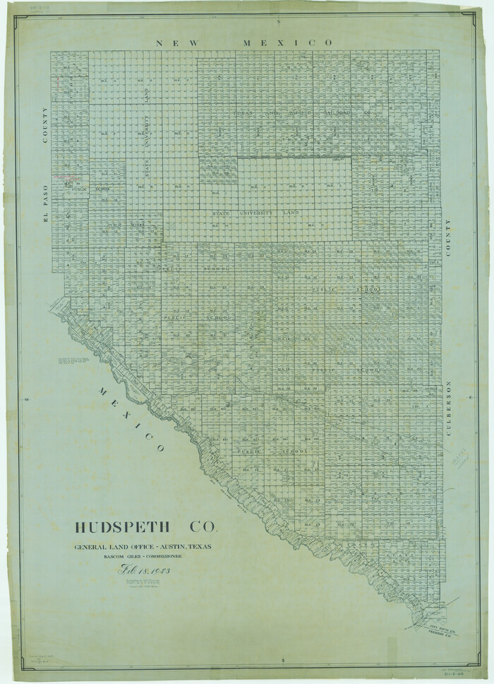
Hudspeth Co.
1943
-
Size
53.7 x 38.8 inches
-
Map/Doc
1861
-
Creation Date
1943

Culberson County Sketch File 7
1888
-
Size
14.5 x 8.8 inches
-
Map/Doc
20138
-
Creation Date
1888

Culberson County Sketch File 17
1932
-
Size
11.2 x 8.8 inches
-
Map/Doc
20180
-
Creation Date
1932

Culberson County Sketch File 24
1934
-
Size
11.2 x 9.0 inches
-
Map/Doc
20242
-
Creation Date
1934

Culberson County Sketch File 30
1950
-
Size
14.2 x 8.7 inches
-
Map/Doc
20282
-
Creation Date
1950

Plat of Re-survey Section 8, Block 66 1/2, Public School Land
1972
-
Size
15.9 x 38.8 inches
-
Map/Doc
2080
-
Creation Date
1972

El Paso County Sketch File 28
1939
-
Size
15.2 x 9.5 inches
-
Map/Doc
22070
-
Creation Date
1939

El Paso County Sketch File 32
1983
-
Size
14.3 x 8.9 inches
-
Map/Doc
22124
-
Creation Date
1983

El Paso County Sketch File 39
1922
-
Size
13.9 x 8.8 inches
-
Map/Doc
22225
-
Creation Date
1922
![2249, [Letters to and from Maj. W. J. Powell regarding surveys of Texas and Pacific Ry. Lands west of the Pecos. Blks 53-55, Township 1 & 2 map within], General Map Collection](https://historictexasmaps.com/wmedia_w700/pdf_converted_jpg/qi_pdf_thumbnail_1039.jpg)
[Letters to and from Maj. W. J. Powell regarding surveys of Texas and Pacific Ry. Lands west of the Pecos. Blks 53-55, Township 1 & 2 map within]
1934
-
Size
10.2 x 15.4 inches
-
Map/Doc
2249
-
Creation Date
1934