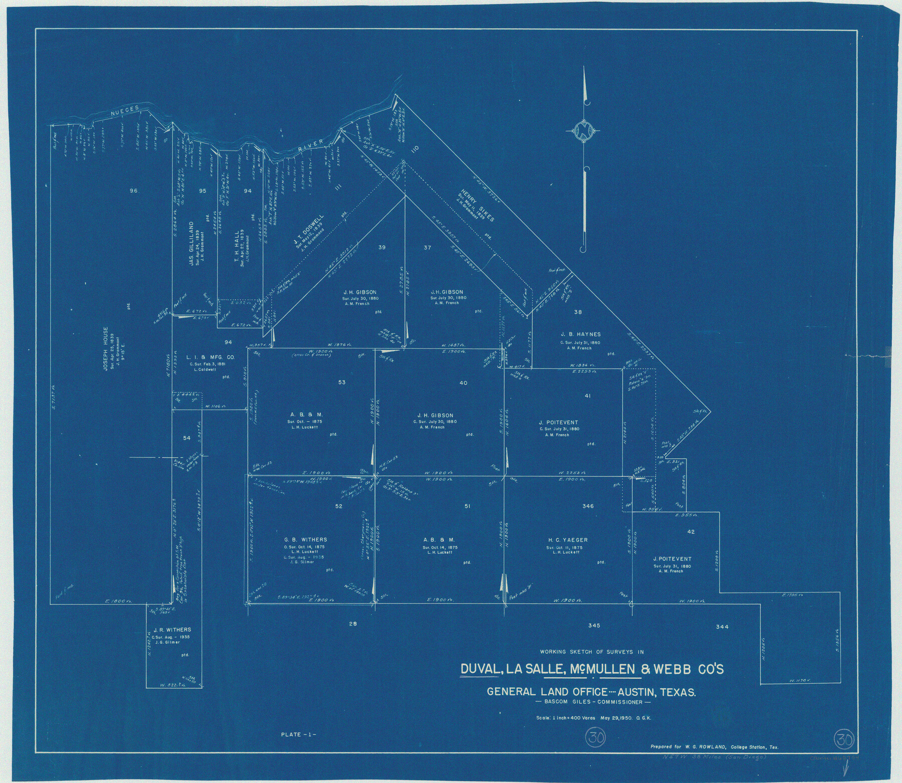
Duval County Working Sketch 30
-
Map/Doc
68754
-
Collection
General Map Collection
-
Object Dates
5/29/1950 (Creation Date)
-
People and Organizations
Otto G. Kurio (Draftsman)
-
Counties
Duval La Salle McMullen Webb
-
Subjects
Surveying Working Sketch
-
Height x Width
29.1 x 33.5 inches
73.9 x 85.1 cm
-
Scale
1" = 400 varas
Part of: General Map Collection
Colored Map of Texas Gulf Coast from Sabine River to the Rio Grande

Print $20.00
- Digital $50.00
Colored Map of Texas Gulf Coast from Sabine River to the Rio Grande
1950
Size 44.7 x 43.0 inches
Map/Doc 3014
Houston Ship Channel, Alexander Island to Carpenter Bayou

Print $20.00
- Digital $50.00
Houston Ship Channel, Alexander Island to Carpenter Bayou
1971
Size 35.1 x 46.7 inches
Map/Doc 69907
Map of Jefferson County

Print $20.00
- Digital $50.00
Map of Jefferson County
1840
Size 32.7 x 23.4 inches
Map/Doc 3725
Coryell County Rolled Sketch 3

Print $20.00
- Digital $50.00
Coryell County Rolled Sketch 3
1974
Size 24.6 x 36.4 inches
Map/Doc 5567
Cameron County Aerial Photograph Index Sheet 4

Print $20.00
- Digital $50.00
Cameron County Aerial Photograph Index Sheet 4
1955
Size 19.3 x 17.4 inches
Map/Doc 83676
Baylor County Working Sketch 10

Print $20.00
- Digital $50.00
Baylor County Working Sketch 10
1956
Size 37.7 x 18.7 inches
Map/Doc 67295
Navasota River, Long Bridge Crossing Sheet

Print $20.00
- Digital $50.00
Navasota River, Long Bridge Crossing Sheet
1934
Size 43.1 x 36.6 inches
Map/Doc 65073
Nueces County Sketch File 67

Print $4.00
- Digital $50.00
Nueces County Sketch File 67
Size 11.1 x 8.7 inches
Map/Doc 32998
Taylor County Working Sketch 10

Print $20.00
- Digital $50.00
Taylor County Working Sketch 10
1955
Size 21.6 x 25.5 inches
Map/Doc 69620
Marion County Working Sketch 46

Print $20.00
- Digital $50.00
Marion County Working Sketch 46
2011
Size 21.4 x 29.1 inches
Map/Doc 90032
National Railways of Mexico

Digital $50.00
National Railways of Mexico
1966
Size 8.9 x 17.6 inches
Map/Doc 94189

You may also like
Dimmit County Working Sketch 50

Print $20.00
- Digital $50.00
Dimmit County Working Sketch 50
1981
Size 34.0 x 39.0 inches
Map/Doc 68711
Flight Mission No. CRC-3R, Frame 198, Chambers County

Print $20.00
- Digital $50.00
Flight Mission No. CRC-3R, Frame 198, Chambers County
1956
Size 18.5 x 22.2 inches
Map/Doc 84853
Newton County Sketch File 23

Print $4.00
- Digital $50.00
Newton County Sketch File 23
1855
Size 10.1 x 8.0 inches
Map/Doc 32403
Jefferson County Sketch File 53

Print $36.00
- Digital $50.00
Jefferson County Sketch File 53
1973
Size 11.2 x 8.9 inches
Map/Doc 28255
General Highway Map, Ector County, Texas

Print $20.00
General Highway Map, Ector County, Texas
1961
Size 18.0 x 24.8 inches
Map/Doc 79451
Val Verde County Working Sketch 38

Print $20.00
- Digital $50.00
Val Verde County Working Sketch 38
1943
Size 14.8 x 18.9 inches
Map/Doc 72173
El Paso County Boundary File 22

Print $4.00
- Digital $50.00
El Paso County Boundary File 22
Size 13.6 x 8.6 inches
Map/Doc 53216
Orange County Sketch File 43

Print $4.00
- Digital $50.00
Orange County Sketch File 43
1873
Size 8.2 x 10.3 inches
Map/Doc 33385
Blanco County Rolled Sketch 3

Print $20.00
- Digital $50.00
Blanco County Rolled Sketch 3
Size 14.8 x 13.5 inches
Map/Doc 5142
Crockett County Rolled Sketch 99

Print $20.00
- Digital $50.00
Crockett County Rolled Sketch 99
Size 37.2 x 38.2 inches
Map/Doc 95401
Section 77, Block "A", Sylvan Sanders Survey

Print $20.00
- Digital $50.00
Section 77, Block "A", Sylvan Sanders Survey
1953
Size 24.7 x 16.0 inches
Map/Doc 92716
Lynn County Working Sketch 2

Print $20.00
- Digital $50.00
Lynn County Working Sketch 2
1951
Size 19.8 x 42.5 inches
Map/Doc 70672