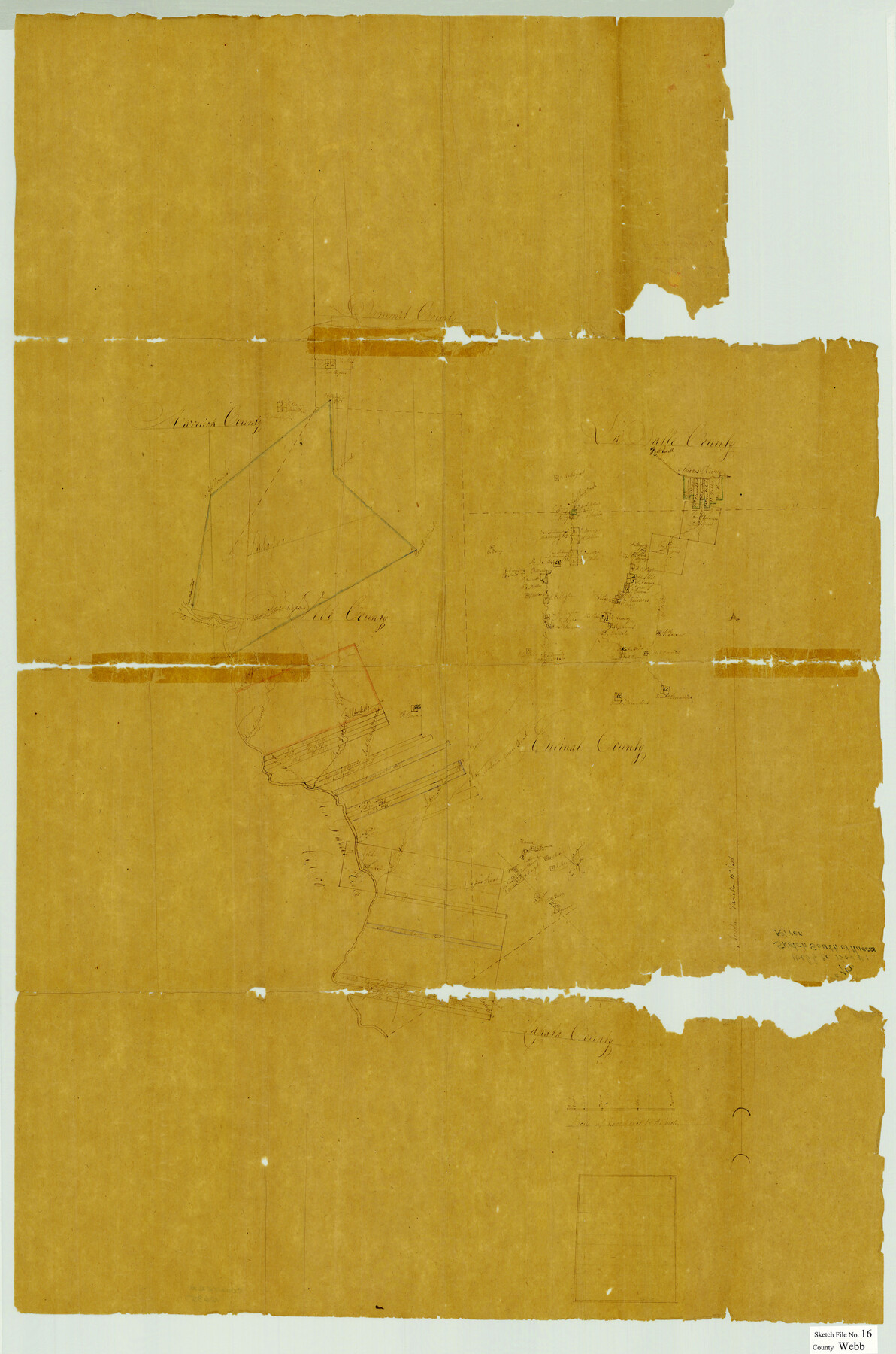
Webb County Sketch File 16
[Skeleton sketch of large surveys between the Nueces River and the Rio Grande in multiple counties]
-
Map/Doc
12635
-
Collection
General Map Collection
-
Counties
Webb Maverick Dimmit La Salle Zapata
-
Subjects
Surveying Sketch File
-
Height x Width
37.1 x 24.5 inches
94.2 x 62.2 cm
-
Medium
paper, manuscript
-
Features
Fort Ewell
Nueces River
Los Edward Creek
San Antonio Lower Road
San Antonio Upper Road
Santa Isabel Creek
Rio Grande
Corpus Road
Part of: General Map Collection
Atascosa County Boundary File 2

Print $52.00
- Digital $50.00
Atascosa County Boundary File 2
Size 8.9 x 36.2 inches
Map/Doc 50160
Newton County Aerial Photograph Index Sheet 4

Print $20.00
- Digital $50.00
Newton County Aerial Photograph Index Sheet 4
1953
Size 23.8 x 16.5 inches
Map/Doc 83733
Flight Mission No. CRC-1R, Frame 156, Chambers County

Print $20.00
- Digital $50.00
Flight Mission No. CRC-1R, Frame 156, Chambers County
1956
Size 18.7 x 22.5 inches
Map/Doc 84718
El Paso County Boundary File 22

Print $4.00
- Digital $50.00
El Paso County Boundary File 22
Size 13.6 x 8.6 inches
Map/Doc 53216
Gaines County Working Sketch Graphic Index

Print $40.00
- Digital $50.00
Gaines County Working Sketch Graphic Index
1956
Size 42.7 x 54.0 inches
Map/Doc 76550
Galveston County NRC Article 33.136 Location Key Sheet

Print $20.00
- Digital $50.00
Galveston County NRC Article 33.136 Location Key Sheet
1994
Size 27.0 x 22.0 inches
Map/Doc 77015

Bailey County Rolled Sketch R and C

Print $51.00
- Digital $50.00
Bailey County Rolled Sketch R and C
1913
Size 10.1 x 16.0 inches
Map/Doc 42350
Jim Hogg County Sketch File 5

Print $20.00
- Digital $50.00
Jim Hogg County Sketch File 5
1939
Size 24.8 x 19.9 inches
Map/Doc 11885
Cochran County Rolled Sketch 4

Print $20.00
- Digital $50.00
Cochran County Rolled Sketch 4
1945
Size 16.8 x 23.7 inches
Map/Doc 5501
Camp County Sketch File 1

Print $4.00
- Digital $50.00
Camp County Sketch File 1
Size 10.4 x 8.1 inches
Map/Doc 17333
Flight Mission No. CUG-3P, Frame 165, Kleberg County

Print $20.00
- Digital $50.00
Flight Mission No. CUG-3P, Frame 165, Kleberg County
1956
Size 18.5 x 22.2 inches
Map/Doc 86285
You may also like
Randall County Sketch File 12

Print $6.00
- Digital $50.00
Randall County Sketch File 12
1945
Size 11.3 x 8.9 inches
Map/Doc 34976
Office Sketch of surveys on St. Joseph and Mustang Islands, Aransas, and Nueces Counties

Print $20.00
- Digital $50.00
Office Sketch of surveys on St. Joseph and Mustang Islands, Aransas, and Nueces Counties
1957
Size 42.6 x 18.0 inches
Map/Doc 1920
Sheet 4 copied from Champlin Book 5 [Strip Map showing T. & P. connecting lines]
![93181, Sheet 4 copied from Champlin Book 5 [Strip Map showing T. & P. connecting lines], Twichell Survey Records](https://historictexasmaps.com/wmedia_w700/maps/93181-1.tif.jpg)
Print $40.00
- Digital $50.00
Sheet 4 copied from Champlin Book 5 [Strip Map showing T. & P. connecting lines]
1909
Size 8.0 x 75.7 inches
Map/Doc 93181

Reeves County Working Sketch 30

Print $20.00
- Digital $50.00
Reeves County Working Sketch 30
1969
Size 31.1 x 36.5 inches
Map/Doc 63473
The Republic County of Bexar. December 31, 1838

Print $20.00
The Republic County of Bexar. December 31, 1838
2020
Size 24.6 x 21.6 inches
Map/Doc 96096

Marion County Rolled Sketch 1A

Print $15.00
- Digital $50.00
Marion County Rolled Sketch 1A
1954
Size 9.9 x 15.2 inches
Map/Doc 46610
[H. &GN Blk. 2, HGN Blk. 1, I, S]
![93212, [H. &GN Blk. 2, HGN Blk. 1, I, S], Twichell Survey Records](https://historictexasmaps.com/wmedia_w700/maps/93212-1.tif.jpg)
Print $40.00
- Digital $50.00
[H. &GN Blk. 2, HGN Blk. 1, I, S]
Size 84.0 x 53.3 inches
Map/Doc 93212
Potter County Boundary File 5b

Print $22.00
- Digital $50.00
Potter County Boundary File 5b
Size 4.1 x 4.9 inches
Map/Doc 58025
[Right of Way & Track Map, The Texas & Pacific Ry. Co. Main Line]
![64681, [Right of Way & Track Map, The Texas & Pacific Ry. Co. Main Line], General Map Collection](https://historictexasmaps.com/wmedia_w700/maps/64681.tif.jpg)
Print $20.00
- Digital $50.00
[Right of Way & Track Map, The Texas & Pacific Ry. Co. Main Line]
Size 11.0 x 19.0 inches
Map/Doc 64681
Knox County Sketch File 9

Print $4.00
- Digital $50.00
Knox County Sketch File 9
1889
Size 11.1 x 8.8 inches
Map/Doc 29221