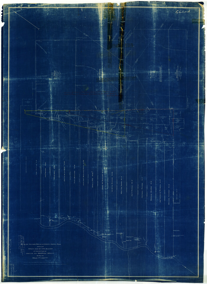
Zapata County Rolled Sketch 12
1917
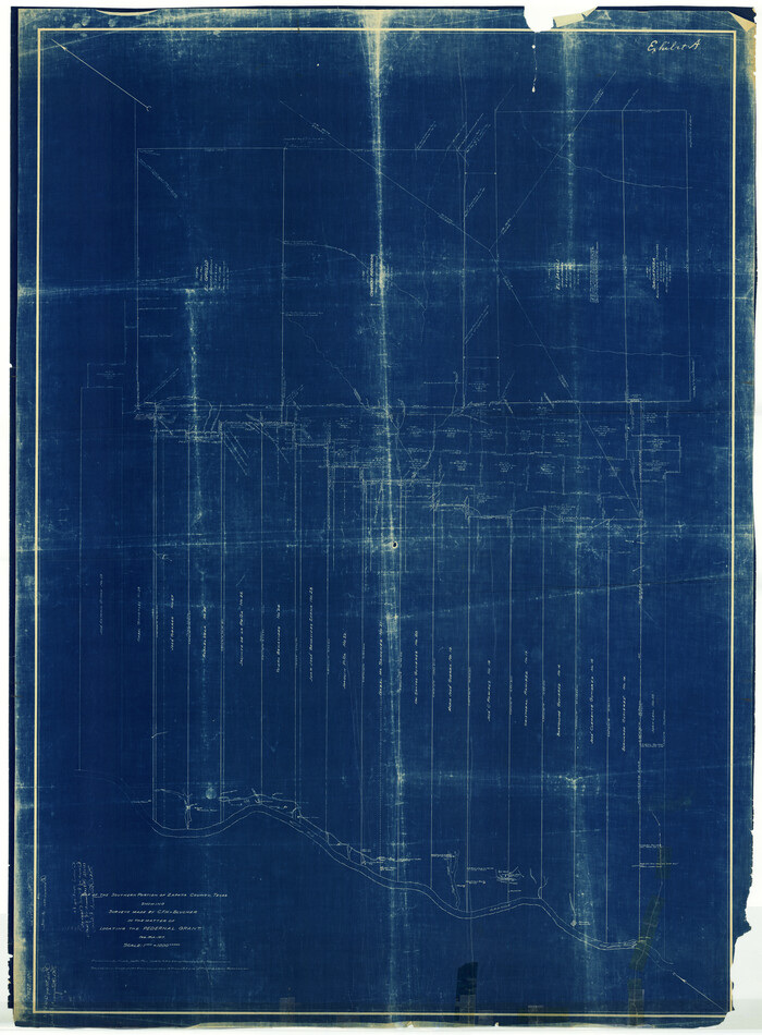
Zapata County Rolled Sketch 12A
1917
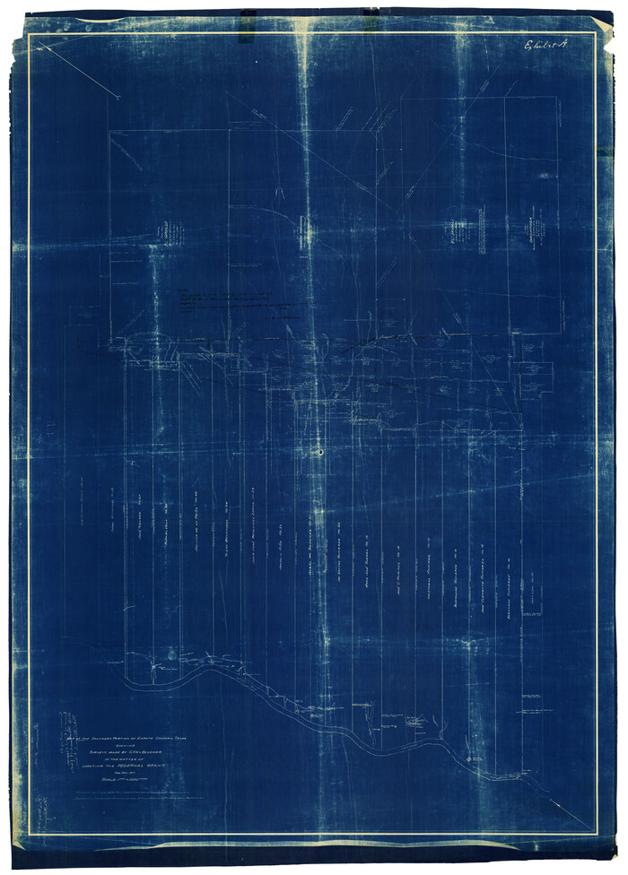
Zapata County Rolled Sketch 12B
1917
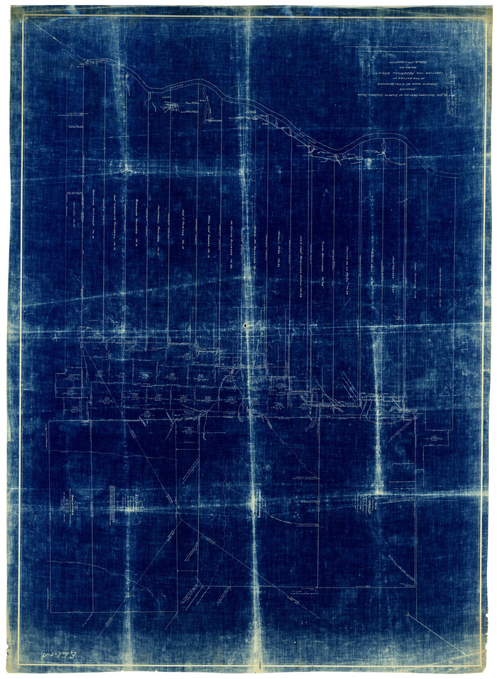
Zapata County Rolled Sketch 12 1/2
1917

Zapata County Rolled Sketch 14
1925

Zapata County Rolled Sketch 17A
1953

Zapata County Rolled Sketch 20
1956

Zapata County Rolled Sketch 25
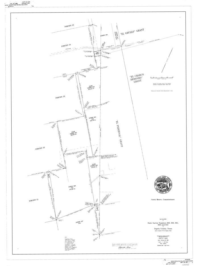
Zapata County Rolled Sketch 27
1988

Zapata County Rolled Sketch 28

Zapata County Sketch File 8
1917
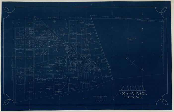
Zapata County Sketch File 9
1917
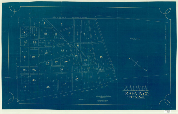
Zapata County Sketch File 10
1917

Starr County Sketch File 6

Starr County Sketch File 18
1880

Webb County Sketch File 3a
1855
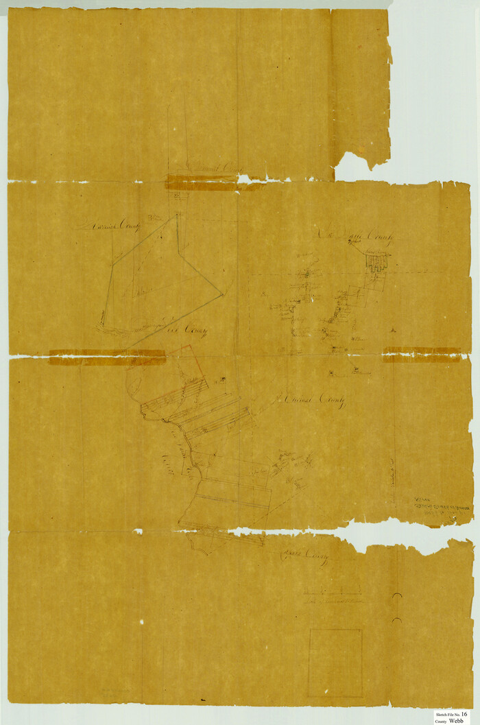
Webb County Sketch File 16
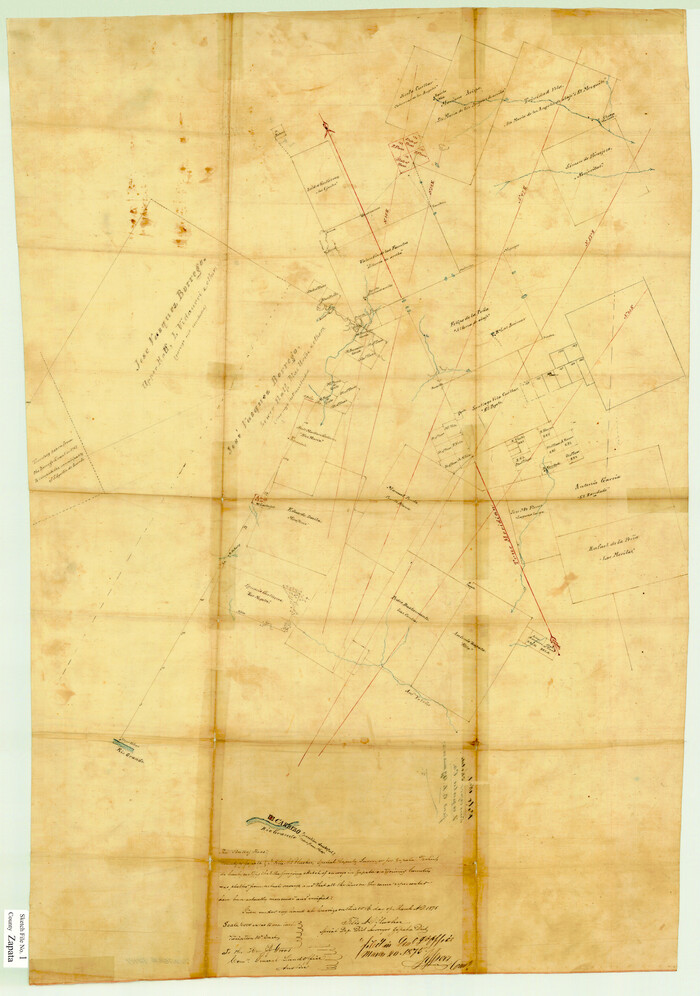
Zapata County Sketch File 1
1875
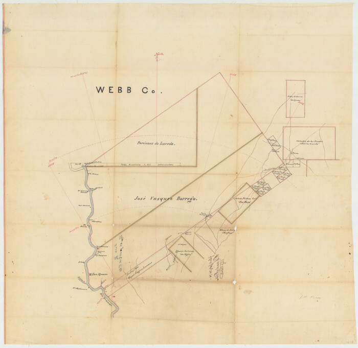
Zapata County Sketch File 2
1875
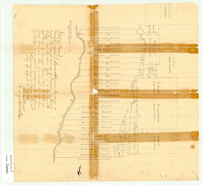
Zapata County Sketch File 5
1886

Zapata County Sketch File 6
1913
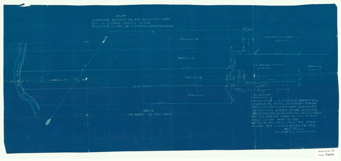
Zapata County Sketch File 12
1918

Zapata County Sketch File 13a
1935

Zapata County Sketch File 19
1957
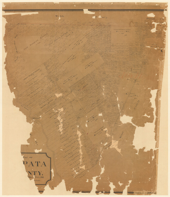
Map of Zapata County
1901

Map of San Patricio District
1870

Plat showing proposed counties to be taken from Zapata, Starr & Hidalgo Counties
1911
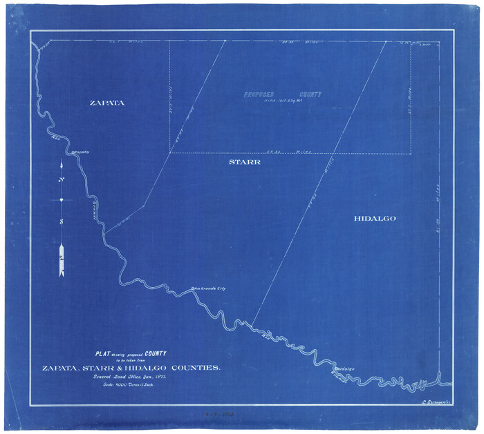
Plat showing proposed counties to be taken from Zapata, Starr & Hidalgo Counties
1911

Starr County Sketch File 17
1880
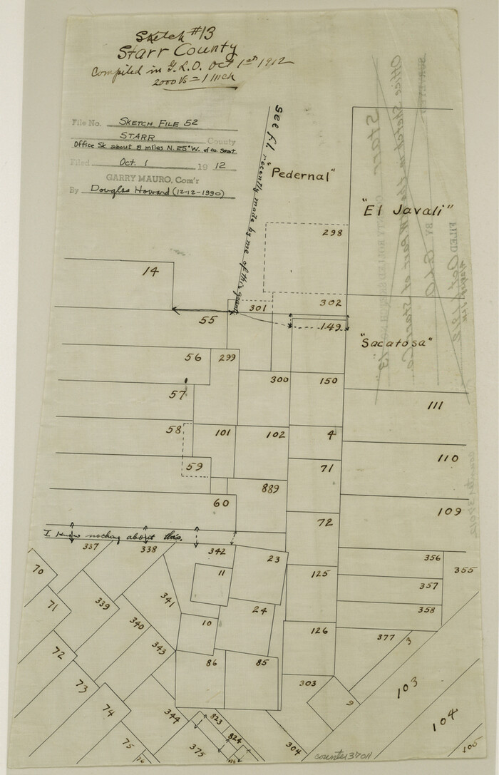
Starr County Sketch File 52

Zapata County Rolled Sketch 12
1917
-
Size
54.2 x 39.9 inches
-
Map/Doc
10164
-
Creation Date
1917

Zapata County Rolled Sketch 12A
1917
-
Size
54.0 x 40.0 inches
-
Map/Doc
10165
-
Creation Date
1917

Zapata County Rolled Sketch 12B
1917
-
Size
55.7 x 40.0 inches
-
Map/Doc
10166
-
Creation Date
1917

Zapata County Rolled Sketch 12 1/2
1917
-
Size
53.1 x 38.8 inches
-
Map/Doc
10167
-
Creation Date
1917

Zapata County Rolled Sketch 14
1925
-
Size
19.2 x 43.7 inches
-
Map/Doc
10168
-
Creation Date
1925

Zapata County Rolled Sketch 17A
1953
-
Size
40.6 x 52.2 inches
-
Map/Doc
10170
-
Creation Date
1953

Zapata County Rolled Sketch 20
1956
-
Size
21.2 x 49.1 inches
-
Map/Doc
10171
-
Creation Date
1956

Zapata County Rolled Sketch 25
-
Size
45.7 x 37.9 inches
-
Map/Doc
10172

Zapata County Rolled Sketch 27
1988
-
Size
48.5 x 36.4 inches
-
Map/Doc
10173
-
Creation Date
1988

Zapata County Rolled Sketch 28
-
Size
35.5 x 35.3 inches
-
Map/Doc
10174

Zapata County Sketch File 8
1917
-
Size
59.5 x 26.5 inches
-
Map/Doc
10438
-
Creation Date
1917

Zapata County Sketch File 9
1917
-
Size
31.8 x 49.4 inches
-
Map/Doc
10439
-
Creation Date
1917

Zapata County Sketch File 10
1917
-
Size
51.0 x 32.6 inches
-
Map/Doc
10440
-
Creation Date
1917

Starr County Sketch File 6
-
Size
43.4 x 36.7 inches
-
Map/Doc
10605

Starr County Sketch File 18
1880
-
Size
38.2 x 25.1 inches
-
Map/Doc
10606
-
Creation Date
1880

Webb County Sketch File 3a
1855
-
Size
32.1 x 20.8 inches
-
Map/Doc
12613
-
Creation Date
1855

Webb County Sketch File 16
-
Size
37.1 x 24.5 inches
-
Map/Doc
12635

Zapata County Sketch File 1
1875
-
Size
30.5 x 21.4 inches
-
Map/Doc
12717
-
Creation Date
1875

Zapata County Sketch File 2
1875
-
Size
24.3 x 32.8 inches
-
Map/Doc
12718
-
Creation Date
1875

Zapata County Sketch File 5
1886
-
Size
15.4 x 16.9 inches
-
Map/Doc
12719
-
Creation Date
1886

Zapata County Sketch File 6
1913
-
Size
22.1 x 32.7 inches
-
Map/Doc
12720
-
Creation Date
1913

Zapata County Sketch File 12
1918
-
Size
15.6 x 33.0 inches
-
Map/Doc
12721
-
Creation Date
1918

Zapata County Sketch File 13a
1935
-
Size
21.4 x 16.0 inches
-
Map/Doc
12722
-
Creation Date
1935

Zapata County Sketch File 19
1957
-
Size
23.5 x 13.2 inches
-
Map/Doc
12724
-
Creation Date
1957

Map of Zapata County
1901
-
Size
55.1 x 47.7 inches
-
Map/Doc
16937
-
Creation Date
1901

Map of San Patricio District
1870
-
Size
43.8 x 51.4 inches
-
Map/Doc
1987
-
Creation Date
1870

Plat showing proposed counties to be taken from Zapata, Starr & Hidalgo Counties
1911
-
Size
24.8 x 27.0 inches
-
Map/Doc
2478
-
Creation Date
1911

Plat showing proposed counties to be taken from Zapata, Starr & Hidalgo Counties
1911
-
Size
24.8 x 27.8 inches
-
Map/Doc
2660
-
Creation Date
1911

Starr County Sketch File 17
1880
-
Size
12.8 x 8.2 inches
-
Map/Doc
36874
-
Creation Date
1880

Starr County Sketch File 52
-
Size
13.9 x 9.0 inches
-
Map/Doc
37011