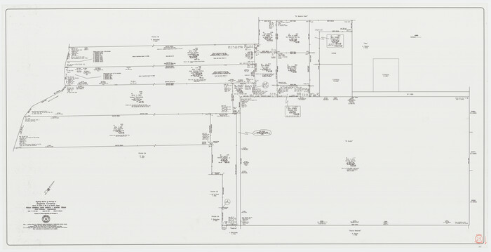
Zapata County Working Sketch 25
2009

Land grants from the state of Tamaulipas in the trans-Nueces
2009

Zapata County Sketch File 20
1998

Zapata County Working Sketch 24
1992
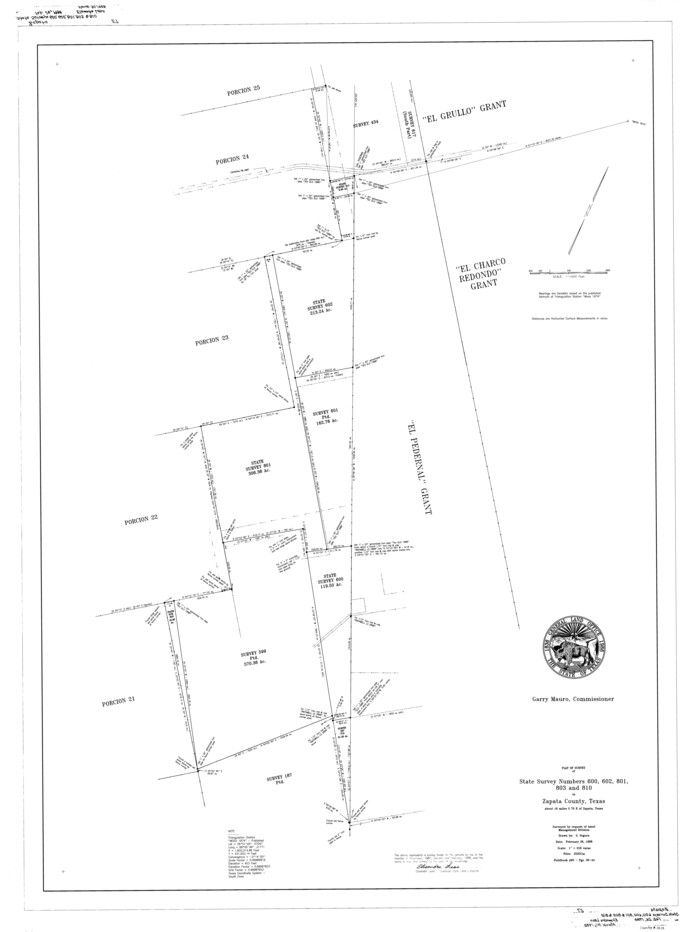
Zapata County Rolled Sketch 27
1988
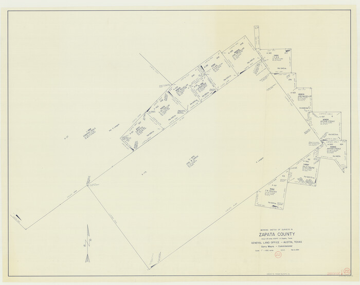
Zapata County Working Sketch 22
1984
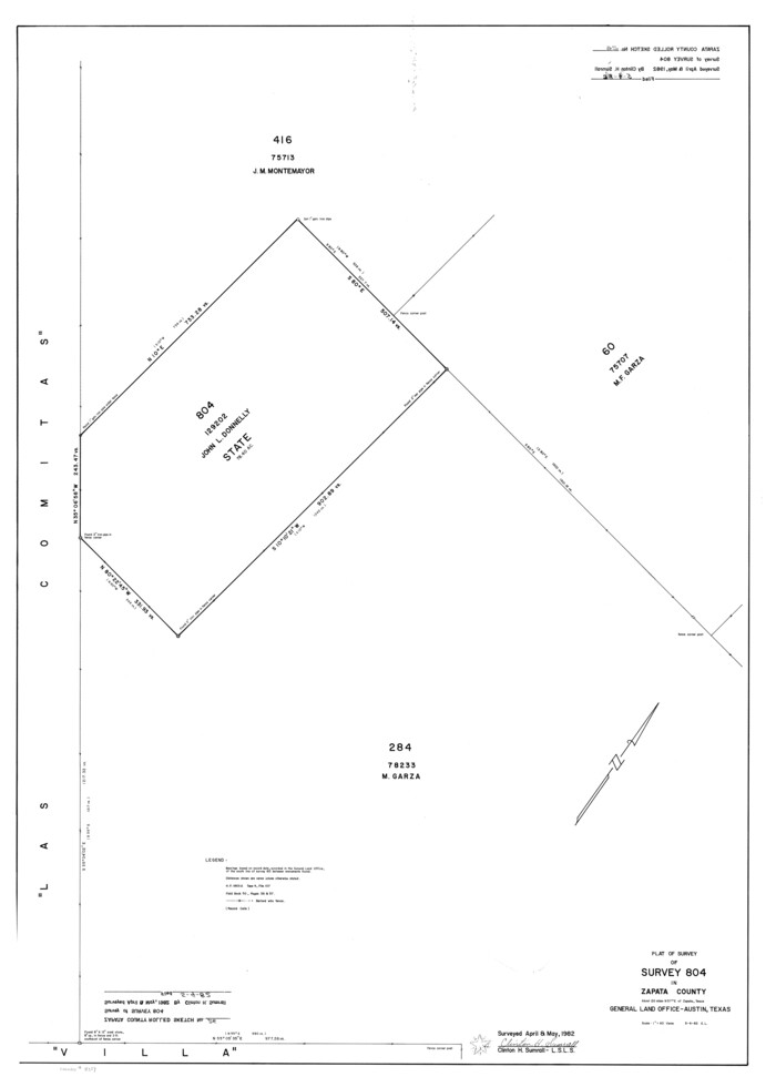
Zapata County Rolled Sketch 26
1982
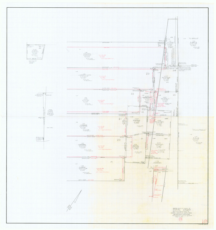
Zapata County Working Sketch 23
1982
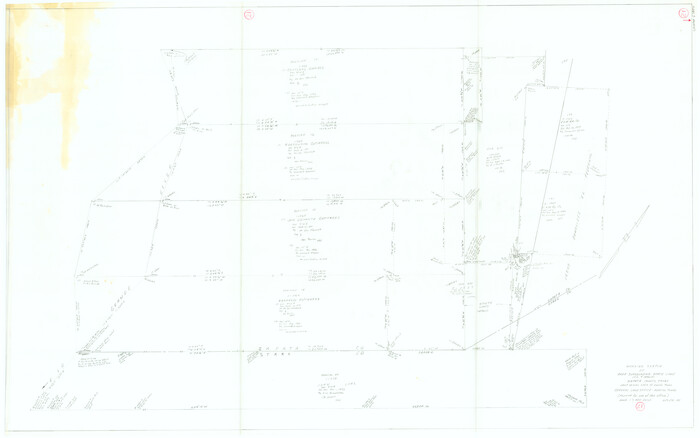
Zapata County Working Sketch 21
1981
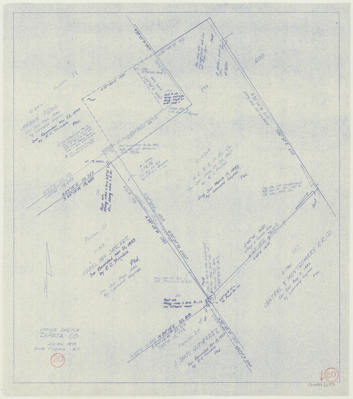
Zapata County Working Sketch 20
1979
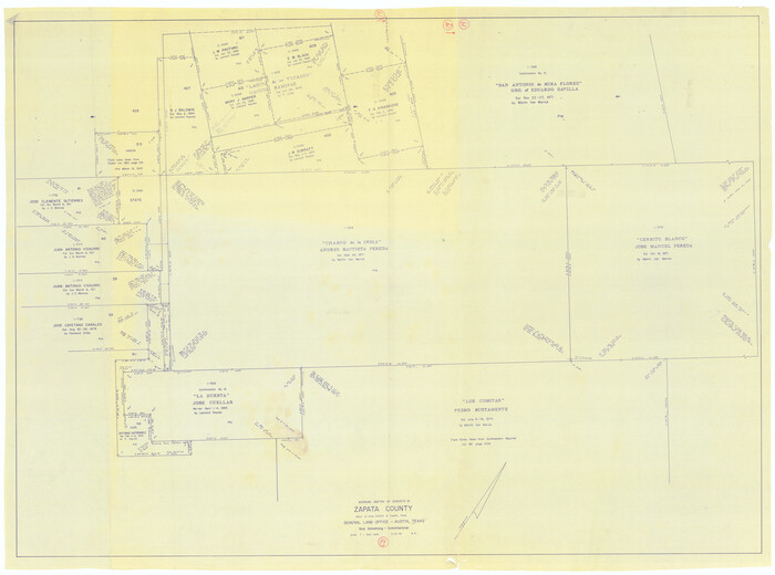
Zapata County Working Sketch 19
1976
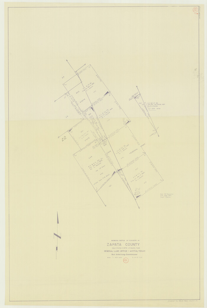
Zapata County Working Sketch 18
1975
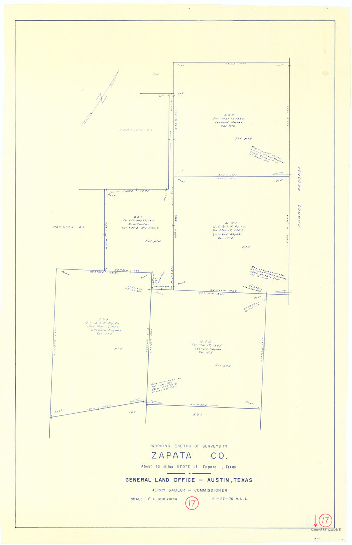
Zapata County Working Sketch 17
1970
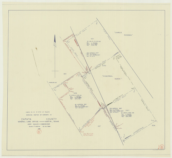
Zapata County Working Sketch 16
1969

Zapata County Working Sketch 15
1969
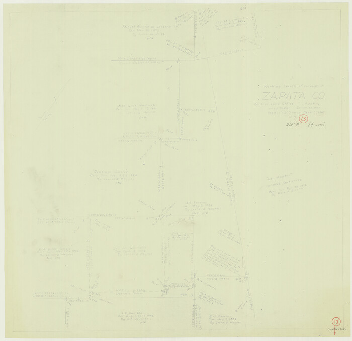
Zapata County Working Sketch 13
1962

Zapata County Working Sketch 14
1962

General Highway Map, Zapata County, Texas
1961
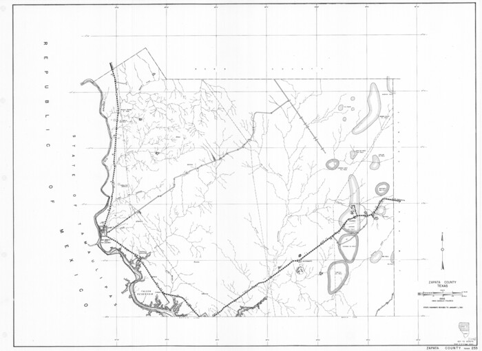
General Highway Map, Zapata County, Texas
1961
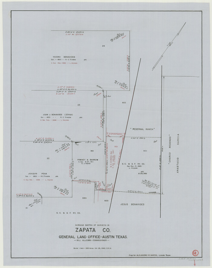
Zapata County Working Sketch 12
1960

Zapata County Sketch File 17
1959

Zapata County Rolled Sketch 22
1958

Zapata County Working Sketch 11
1958

Zapata County Sketch File 19
1957

Zapata County Rolled Sketch 20
1956

Zapata County Rolled Sketch 19
1955
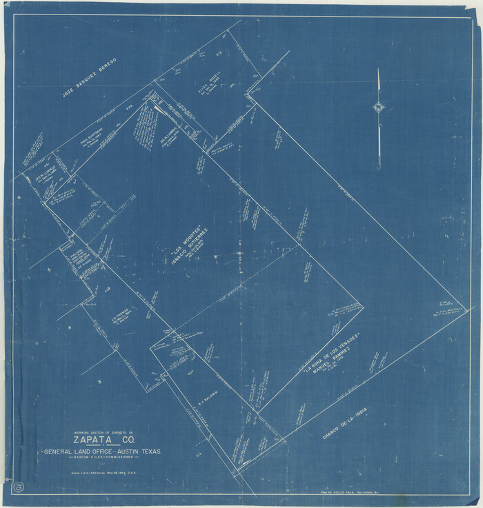
Zapata County Working Sketch 10
1954
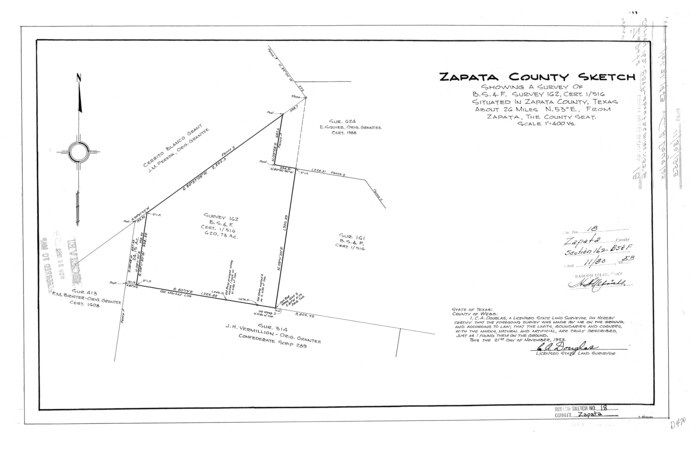
Zapata County Rolled Sketch 18
1953

Zapata County Rolled Sketch 17A
1953

Zapata County Working Sketch 9
1951

Zapata County Working Sketch 25
2009
-
Size
36.9 x 71.8 inches
-
Map/Doc
89051
-
Creation Date
2009

Land grants from the state of Tamaulipas in the trans-Nueces
2009
-
Size
11.0 x 8.5 inches
-
Map/Doc
94040
-
Creation Date
2009

Zapata County Sketch File 20
1998
-
Size
11.5 x 8.9 inches
-
Map/Doc
40966
-
Creation Date
1998

Zapata County Working Sketch 24
1992
-
Size
28.2 x 23.9 inches
-
Map/Doc
62075
-
Creation Date
1992

Zapata County Rolled Sketch 27
1988
-
Size
48.5 x 36.4 inches
-
Map/Doc
10173
-
Creation Date
1988

Zapata County Working Sketch 22
1984
-
Size
31.8 x 40.1 inches
-
Map/Doc
62073
-
Creation Date
1984

Zapata County Rolled Sketch 26
1982
-
Size
43.0 x 30.7 inches
-
Map/Doc
8319
-
Creation Date
1982

Zapata County Working Sketch 23
1982
-
Size
45.8 x 42.9 inches
-
Map/Doc
62074
-
Creation Date
1982

Zapata County Working Sketch 21
1981
-
Size
32.8 x 52.5 inches
-
Map/Doc
62072
-
Creation Date
1981

Zapata County Working Sketch 20
1979
-
Size
20.9 x 18.5 inches
-
Map/Doc
62071
-
Creation Date
1979

Zapata County Working Sketch 19
1976
-
Size
41.2 x 55.5 inches
-
Map/Doc
62070
-
Creation Date
1976

Zapata County Working Sketch 18
1975
-
Size
43.2 x 29.1 inches
-
Map/Doc
62069
-
Creation Date
1975

Zapata County Working Sketch 17
1970
-
Size
30.0 x 19.4 inches
-
Map/Doc
62068
-
Creation Date
1970

Zapata County Working Sketch 16
1969
-
Size
26.1 x 28.3 inches
-
Map/Doc
62067
-
Creation Date
1969

Zapata County Working Sketch 15
1969
-
Size
38.2 x 38.7 inches
-
Map/Doc
62066
-
Creation Date
1969

Zapata County Working Sketch 13
1962
-
Size
28.7 x 29.6 inches
-
Map/Doc
62064
-
Creation Date
1962

Zapata County Working Sketch 14
1962
-
Size
44.5 x 40.4 inches
-
Map/Doc
62065
-
Creation Date
1962

General Highway Map, Zapata County, Texas
1961
-
Size
18.2 x 24.8 inches
-
Map/Doc
79721
-
Creation Date
1961

General Highway Map, Zapata County, Texas
1961
-
Size
18.0 x 24.7 inches
-
Map/Doc
79722
-
Creation Date
1961

Zapata County Working Sketch 12
1960
-
Size
30.8 x 24.4 inches
-
Map/Doc
62063
-
Creation Date
1960

Zapata County Sketch File 17
1959
-
Size
14.4 x 8.9 inches
-
Map/Doc
40960
-
Creation Date
1959

Zapata County Rolled Sketch 22
1958
-
Size
29.2 x 21.5 inches
-
Map/Doc
8317
-
Creation Date
1958

Zapata County Working Sketch 11
1958
-
Size
38.1 x 28.7 inches
-
Map/Doc
62062
-
Creation Date
1958

Zapata County Sketch File 19
1957
-
Size
23.5 x 13.2 inches
-
Map/Doc
12724
-
Creation Date
1957

Zapata County Rolled Sketch 20
1956
-
Size
21.2 x 49.1 inches
-
Map/Doc
10171
-
Creation Date
1956

Zapata County Rolled Sketch 19
1955
-
Size
29.0 x 20.9 inches
-
Map/Doc
8316
-
Creation Date
1955

Zapata County Working Sketch 10
1954
-
Size
33.9 x 32.2 inches
-
Map/Doc
62061
-
Creation Date
1954

Zapata County Rolled Sketch 18
1953
-
Size
15.4 x 23.9 inches
-
Map/Doc
8315
-
Creation Date
1953

Zapata County Rolled Sketch 17A
1953
-
Size
40.6 x 52.2 inches
-
Map/Doc
10170
-
Creation Date
1953

Zapata County Working Sketch 9
1951
-
Size
34.9 x 18.1 inches
-
Map/Doc
62060
-
Creation Date
1951