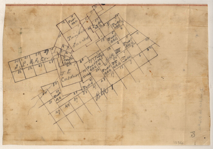
Dimmit County Sketch File 12
1883
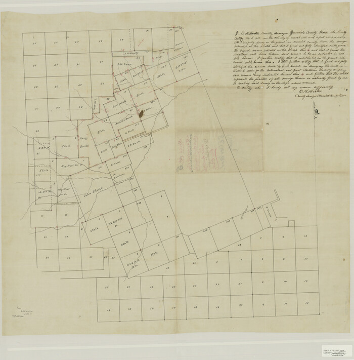
Maverick County Sketch File 15a
1886
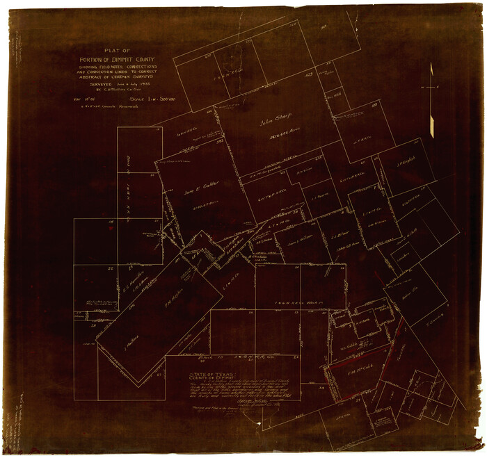
Dimmit County Rolled Sketch CHM
1935
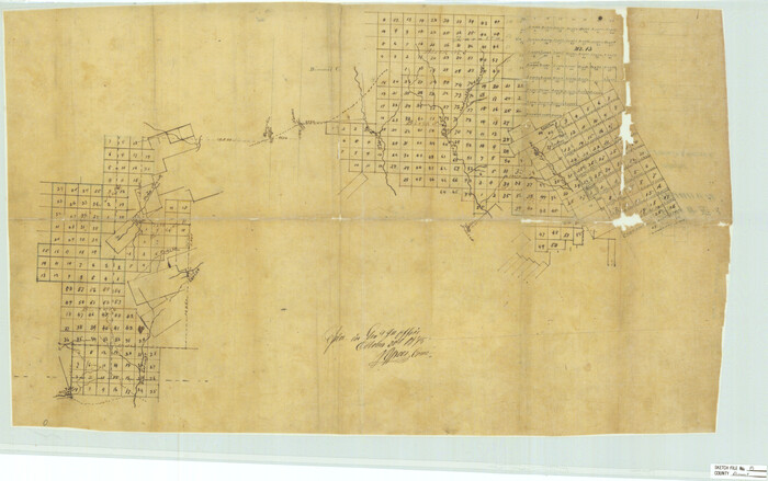
Dimmit County Sketch File 8
1875

Dimmit County Sketch File 10

Dimmit County Sketch File 11a
1880

Dimmit County Sketch File 11b
1909
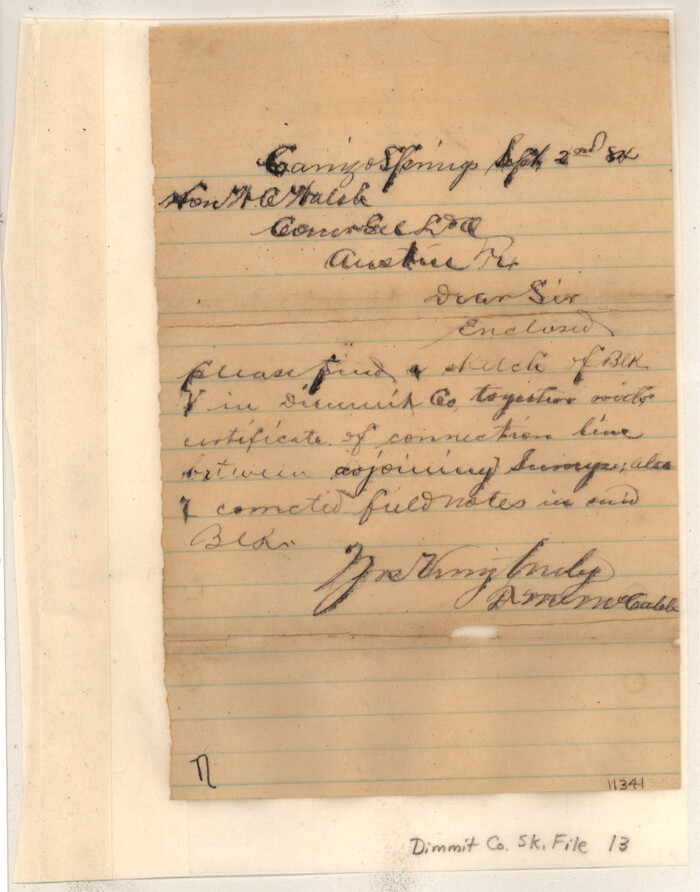
Dimmit County Sketch File 13
1884

Dimmit County Sketch File 14
1884

Dimmit County Sketch File 15
1883
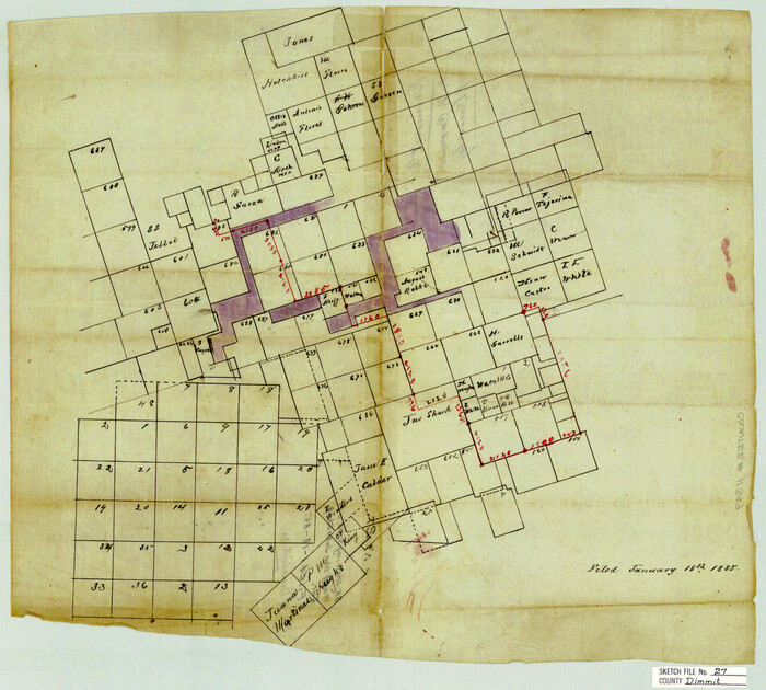
Dimmit County Sketch File 27

Dimmit County Sketch File 28
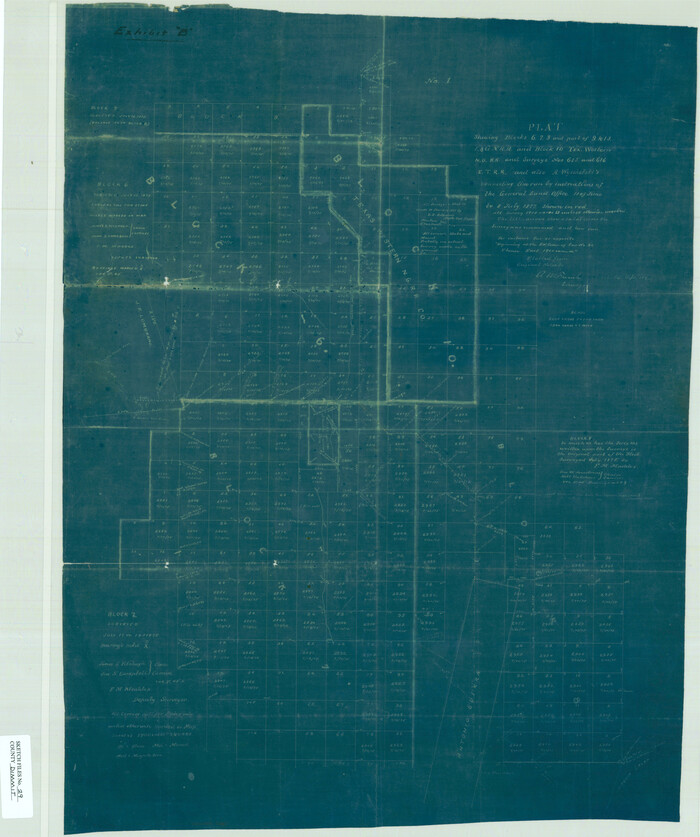
Dimmit County Sketch File 29
1877

Dimmit County Sketch File 31
1894
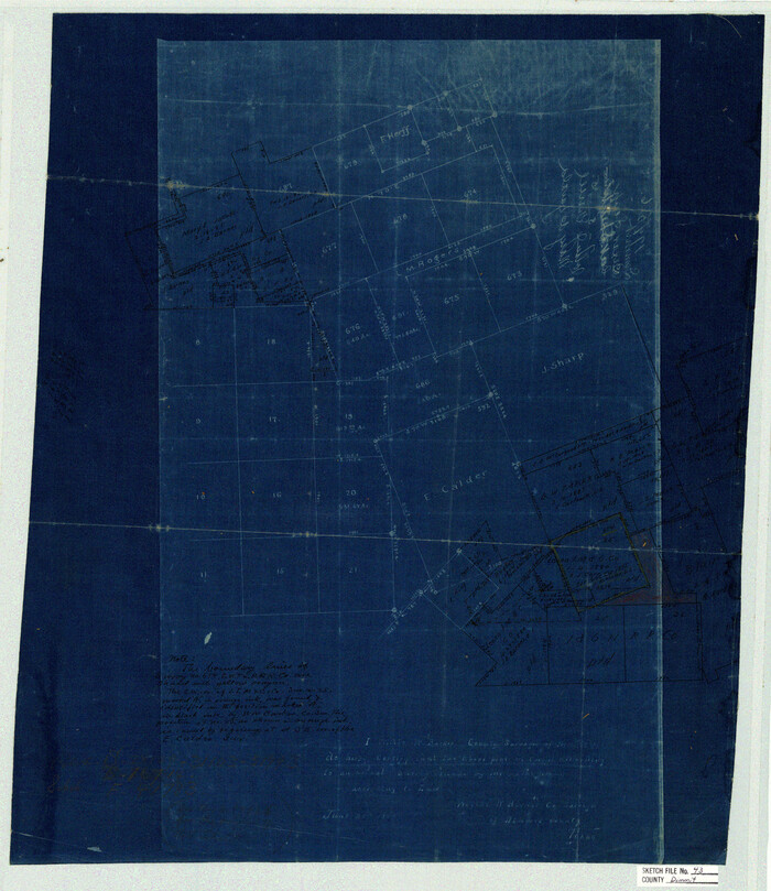
Dimmit County Sketch File 43
1905

Dimmit County Sketch File 44

Dimmit County Sketch File 45
1905

Dimmit County Sketch File 48
1909
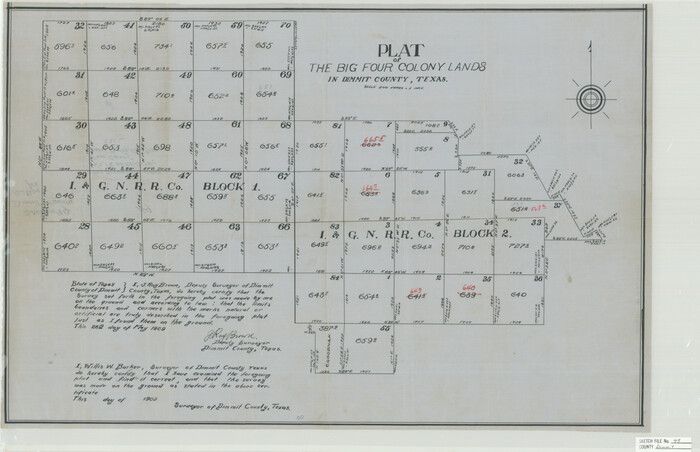
Dimmit County Sketch File 49
1909

Dimmit County Sketch File 55
1926

Dimmit County Sketch File 56
1939
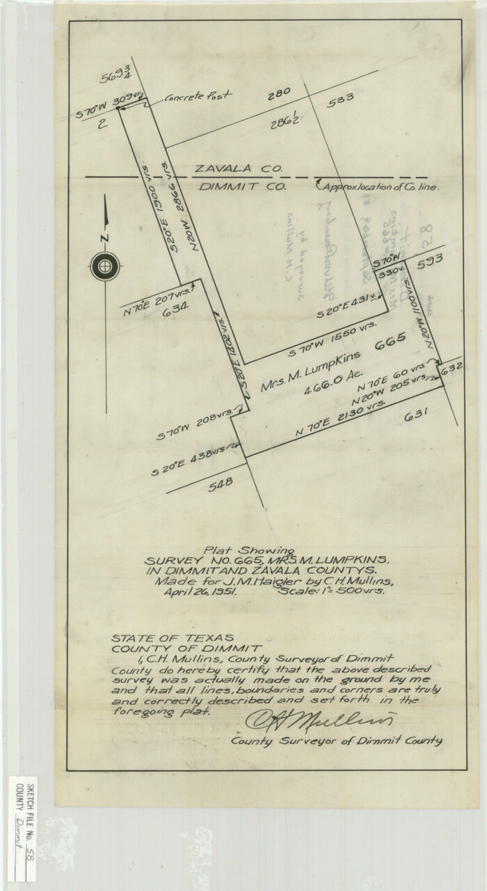
Dimmit County Sketch File 58
1951

La Salle County Sketch File 3
1875

Webb County Sketch File B

Webb County Sketch File 2
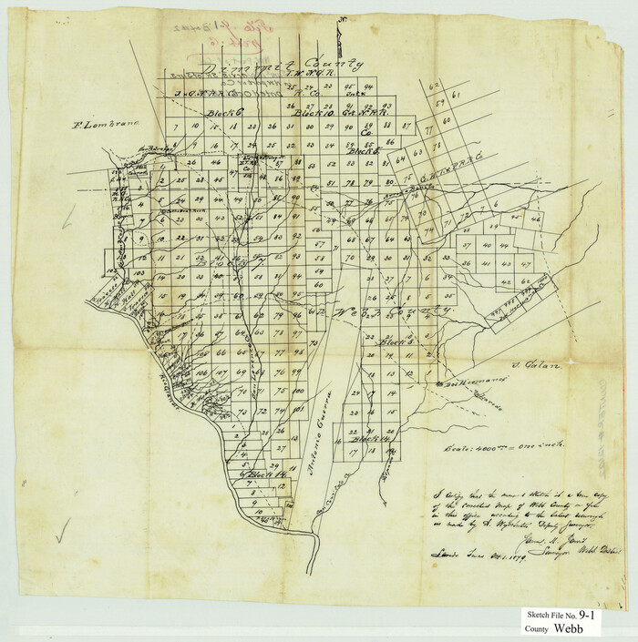
Webb County Sketch File 9-1
1879

Webb County Sketch File 12-2
1936
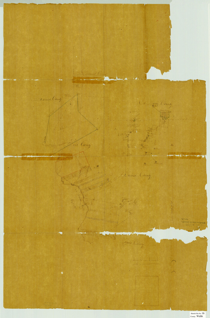
Webb County Sketch File 16

Webb County Sketch File 17
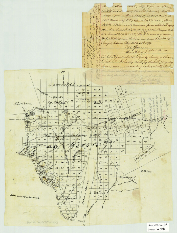
Webb County Sketch File 46
1879

Dimmit County Sketch File 12
1883
-
Size
31.9 x 33.6 inches
-
Map/Doc
10366
-
Creation Date
1883

Maverick County Sketch File 15a
1886
-
Size
30.8 x 30.3 inches
-
Map/Doc
10536
-
Creation Date
1886

Dimmit County Rolled Sketch CHM
1935
-
Size
38.1 x 41.2 inches
-
Map/Doc
10716
-
Creation Date
1935

Dimmit County Sketch File 8
1875
-
Size
18.2 x 29.1 inches
-
Map/Doc
11337
-
Creation Date
1875

Dimmit County Sketch File 10
-
Size
23.5 x 22.6 inches
-
Map/Doc
11338

Dimmit County Sketch File 11a
1880
-
Size
12.9 x 18.7 inches
-
Map/Doc
11339
-
Creation Date
1880

Dimmit County Sketch File 11b
1909
-
Size
30.3 x 26.7 inches
-
Map/Doc
11340
-
Creation Date
1909

Dimmit County Sketch File 13
1884
-
Size
22.6 x 36.5 inches
-
Map/Doc
11341
-
Creation Date
1884

Dimmit County Sketch File 14
1884
-
Size
35.7 x 23.3 inches
-
Map/Doc
11342
-
Creation Date
1884

Dimmit County Sketch File 15
1883
-
Size
18.1 x 31.4 inches
-
Map/Doc
11343
-
Creation Date
1883

Dimmit County Sketch File 27
-
Size
16.5 x 18.3 inches
-
Map/Doc
11349

Dimmit County Sketch File 28
-
Size
14.7 x 17.4 inches
-
Map/Doc
11350

Dimmit County Sketch File 29
1877
-
Size
26.5 x 22.1 inches
-
Map/Doc
11351
-
Creation Date
1877

Dimmit County Sketch File 31
1894
-
Size
12.7 x 17.3 inches
-
Map/Doc
11352
-
Creation Date
1894

Dimmit County Sketch File 43
1905
-
Size
22.1 x 19.2 inches
-
Map/Doc
11353
-
Creation Date
1905

Dimmit County Sketch File 44
-
Size
16.3 x 19.5 inches
-
Map/Doc
11354

Dimmit County Sketch File 45
1905
-
Size
24.9 x 25.5 inches
-
Map/Doc
11355
-
Creation Date
1905

Dimmit County Sketch File 48
1909
-
Size
17.9 x 19.3 inches
-
Map/Doc
11357
-
Creation Date
1909

Dimmit County Sketch File 49
1909
-
Size
17.3 x 26.8 inches
-
Map/Doc
11358
-
Creation Date
1909

Dimmit County Sketch File 55
1926
-
Size
23.1 x 15.7 inches
-
Map/Doc
11359
-
Creation Date
1926

Dimmit County Sketch File 56
1939
-
Size
15.8 x 27.4 inches
-
Map/Doc
11360
-
Creation Date
1939

Dimmit County Sketch File 58
1951
-
Size
18.0 x 9.8 inches
-
Map/Doc
11361
-
Creation Date
1951

La Salle County Sketch File 3
1875
-
Size
15.8 x 29.6 inches
-
Map/Doc
11978
-
Creation Date
1875

Webb County Sketch File B
-
Size
15.9 x 13.7 inches
-
Map/Doc
12605

Webb County Sketch File 2
-
Size
20.0 x 18.2 inches
-
Map/Doc
12612

Webb County Sketch File 9-1
1879
-
Size
15.8 x 15.7 inches
-
Map/Doc
12622
-
Creation Date
1879

Webb County Sketch File 12-2
1936
-
Size
24.5 x 20.1 inches
-
Map/Doc
12630
-
Creation Date
1936

Webb County Sketch File 16
-
Size
37.1 x 24.5 inches
-
Map/Doc
12635

Webb County Sketch File 17
-
Size
13.5 x 15.4 inches
-
Map/Doc
12636

Webb County Sketch File 46
1879
-
Size
19.6 x 14.9 inches
-
Map/Doc
12644
-
Creation Date
1879