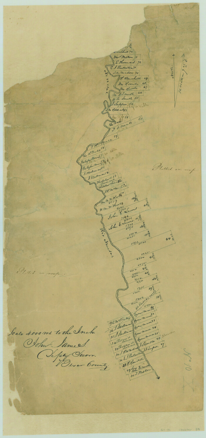
[Surveys in the Bexar District along the Nueces River]
Print $3.00
- Digital $50.00
[Surveys in the Bexar District along the Nueces River]
1847
Size: 17.1 x 8.1 inches
84
[Sketch Showing Surveys in Dimmit County, Texas]
Print $20.00
- Digital $50.00
[Sketch Showing Surveys in Dimmit County, Texas]
Size: 20.1 x 16.7 inches
5045
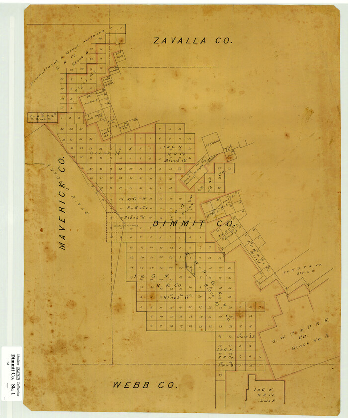
[Sketch Showing Surveys in Dimmit County, Texas]
Print $20.00
- Digital $50.00
[Sketch Showing Surveys in Dimmit County, Texas]
Size: 42.3 x 31.8 inches
75783
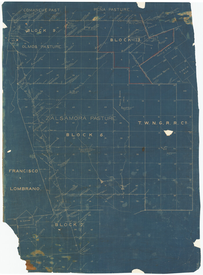
[Map of Zalsamora Pasture and surrounding area]
Print $20.00
- Digital $50.00
[Map of Zalsamora Pasture and surrounding area]
Size: 33.3 x 24.4 inches
408
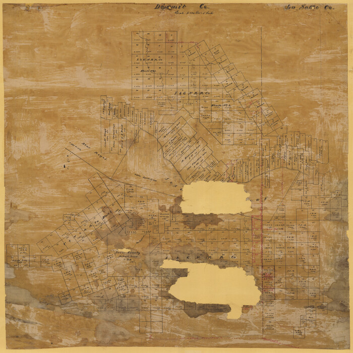
[Map Showing Surveys in Dimmit & La Salle Counties, Texas]
Print $20.00
- Digital $50.00
[Map Showing Surveys in Dimmit & La Salle Counties, Texas]
Size: 29.5 x 29.5 inches
75791
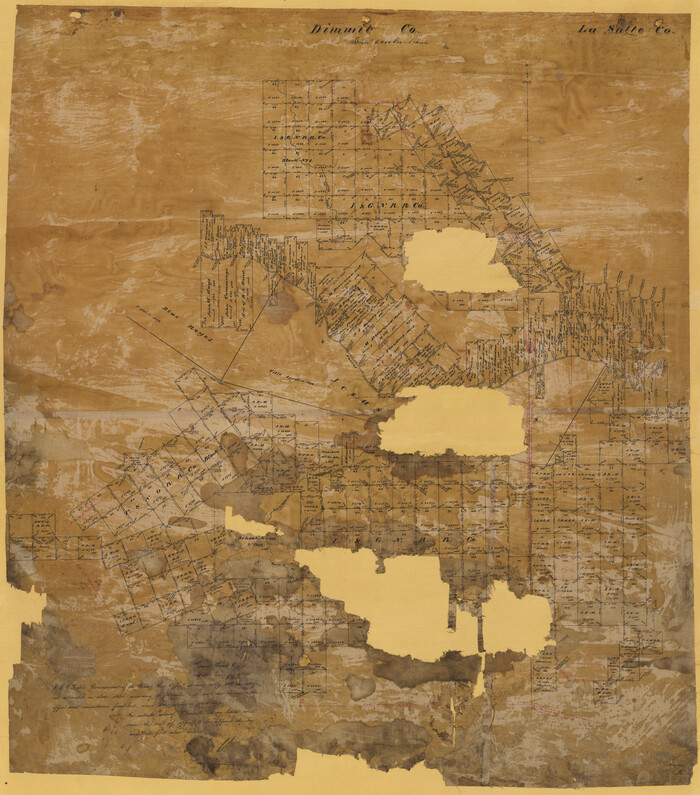
[Map Showing Surveys in Dimmit & La Salle Counties, Texas]
Print $20.00
- Digital $50.00
[Map Showing Surveys in Dimmit & La Salle Counties, Texas]
1882
Size: 32.6 x 28.7 inches
75792
Zavala County Working Sketch 31

Print $20.00
- Digital $50.00
Zavala County Working Sketch 31
2019
Size: 36.0 x 24.2 inches
95407
Zavala County Working Sketch 3

Print $20.00
- Digital $50.00
Zavala County Working Sketch 3
1912
Size: 37.1 x 46.9 inches
62078
Zavala County Working Sketch 24

Print $40.00
- Digital $50.00
Zavala County Working Sketch 24
1980
Size: 75.6 x 42.8 inches
62099
Zavala County Working Sketch 23

Print $40.00
- Digital $50.00
Zavala County Working Sketch 23
1980
Size: 77.3 x 43.6 inches
62098
Zavala County Working Sketch 22

Print $40.00
- Digital $50.00
Zavala County Working Sketch 22
1980
Size: 70.4 x 43.5 inches
62097
Zavala County Sketch File 9

Print $20.00
- Digital $50.00
Zavala County Sketch File 9
1884
Size: 29.1 x 15.9 inches
12727
Zavala County Sketch File 47

Print $6.00
- Digital $50.00
Zavala County Sketch File 47
1937
Size: 11.3 x 9.0 inches
41430
Zavala County Sketch File 46

Print $20.00
- Digital $50.00
Zavala County Sketch File 46
1937
Size: 16.7 x 18.8 inches
12734
Zavala County Sketch File 42

Print $20.00
- Digital $50.00
Zavala County Sketch File 42
1915
Size: 19.4 x 25.6 inches
12732
Zavala County Sketch File 41

Print $20.00
- Digital $50.00
Zavala County Sketch File 41
1900
Size: 24.0 x 21.6 inches
12731
Zavala County Sketch File 2

Print $22.00
- Digital $50.00
Zavala County Sketch File 2
Size: 13.2 x 14.4 inches
41261
Zavala County Sketch File 18

Print $16.00
- Digital $50.00
Zavala County Sketch File 18
1897
Size: 14.0 x 9.1 inches
41356
Zavala County Sketch File 16

Print $20.00
- Digital $50.00
Zavala County Sketch File 16
1900
Size: 22.9 x 16.9 inches
12730
Zavala County Sketch File 10a

Print $6.00
- Digital $50.00
Zavala County Sketch File 10a
1885
Size: 14.6 x 8.8 inches
41267
Zavala County Sketch File 10

Print $20.00
- Digital $50.00
Zavala County Sketch File 10
Size: 17.6 x 25.7 inches
12728
Zavala County Rolled Sketch 33

Print $20.00
- Digital $50.00
Zavala County Rolled Sketch 33
Size: 19.3 x 26.9 inches
8334
Zavala County Rolled Sketch 21

Print $20.00
- Digital $50.00
Zavala County Rolled Sketch 21
Size: 27.6 x 38.4 inches
8324
Zavala County Rolled Sketch 18

Print $20.00
- Digital $50.00
Zavala County Rolled Sketch 18
Size: 39.4 x 27.3 inches
8322
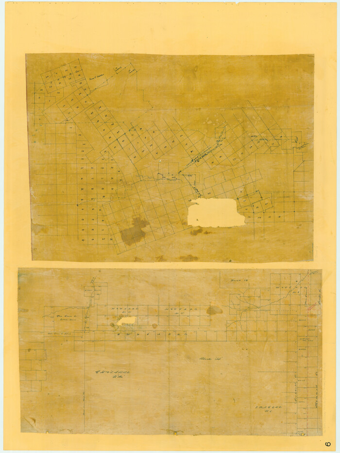
Working Sketch in Dimmit Co.

Print $20.00
- Digital $50.00
Working Sketch in Dimmit Co.
1883
Size: 14.9 x 14.6 inches
436
Webb County Working Sketch 67

Print $40.00
- Digital $50.00
Webb County Working Sketch 67
1966
Size: 60.9 x 43.7 inches
72434
Webb County Sketch File B3

Print $40.00
- Digital $50.00
Webb County Sketch File B3
1892
Size: 8.9 x 4.2 inches
39658
Webb County Sketch File B

Print $20.00
- Digital $50.00
Webb County Sketch File B
Size: 15.9 x 13.7 inches
12605
Webb County Sketch File 9-1

Print $20.00
- Digital $50.00
Webb County Sketch File 9-1
1879
Size: 15.8 x 15.7 inches
12622
Webb County Sketch File 9

Print $25.00
- Digital $50.00
Webb County Sketch File 9
1870
Size: 9.5 x 8.5 inches
39761
[Surveys in the Bexar District along the Nueces River]
Print $3.00
- Digital $50.00
[Surveys in the Bexar District along the Nueces River]
1847
-
Size
17.1 x 8.1 inches
-
Map/Doc
84
-
Creation Date
1847
[Sketch Showing Surveys in Dimmit County, Texas]
Print $20.00
- Digital $50.00
[Sketch Showing Surveys in Dimmit County, Texas]
-
Size
20.1 x 16.7 inches
-
Map/Doc
5045
[Sketch Showing Surveys in Dimmit County, Texas]
Print $20.00
- Digital $50.00
[Sketch Showing Surveys in Dimmit County, Texas]
-
Size
42.3 x 31.8 inches
-
Map/Doc
75783
[Map of Zalsamora Pasture and surrounding area]
Print $20.00
- Digital $50.00
[Map of Zalsamora Pasture and surrounding area]
-
Size
33.3 x 24.4 inches
-
Map/Doc
408
[Map Showing Surveys in Dimmit & La Salle Counties, Texas]
Print $20.00
- Digital $50.00
[Map Showing Surveys in Dimmit & La Salle Counties, Texas]
-
Size
29.5 x 29.5 inches
-
Map/Doc
75791
[Map Showing Surveys in Dimmit & La Salle Counties, Texas]
Print $20.00
- Digital $50.00
[Map Showing Surveys in Dimmit & La Salle Counties, Texas]
1882
-
Size
32.6 x 28.7 inches
-
Map/Doc
75792
-
Creation Date
1882
Zavala County Working Sketch 31
Print $20.00
- Digital $50.00
Zavala County Working Sketch 31
2019
-
Size
36.0 x 24.2 inches
-
Map/Doc
95407
-
Creation Date
2019
Zavala County Working Sketch 3
Print $20.00
- Digital $50.00
Zavala County Working Sketch 3
1912
-
Size
37.1 x 46.9 inches
-
Map/Doc
62078
-
Creation Date
1912
Zavala County Working Sketch 24
Print $40.00
- Digital $50.00
Zavala County Working Sketch 24
1980
-
Size
75.6 x 42.8 inches
-
Map/Doc
62099
-
Creation Date
1980
Zavala County Working Sketch 23
Print $40.00
- Digital $50.00
Zavala County Working Sketch 23
1980
-
Size
77.3 x 43.6 inches
-
Map/Doc
62098
-
Creation Date
1980
Zavala County Working Sketch 22
Print $40.00
- Digital $50.00
Zavala County Working Sketch 22
1980
-
Size
70.4 x 43.5 inches
-
Map/Doc
62097
-
Creation Date
1980
Zavala County Sketch File 9
Print $20.00
- Digital $50.00
Zavala County Sketch File 9
1884
-
Size
29.1 x 15.9 inches
-
Map/Doc
12727
-
Creation Date
1884
Zavala County Sketch File 47
Print $6.00
- Digital $50.00
Zavala County Sketch File 47
1937
-
Size
11.3 x 9.0 inches
-
Map/Doc
41430
-
Creation Date
1937
Zavala County Sketch File 46
Print $20.00
- Digital $50.00
Zavala County Sketch File 46
1937
-
Size
16.7 x 18.8 inches
-
Map/Doc
12734
-
Creation Date
1937
Zavala County Sketch File 42
Print $20.00
- Digital $50.00
Zavala County Sketch File 42
1915
-
Size
19.4 x 25.6 inches
-
Map/Doc
12732
-
Creation Date
1915
Zavala County Sketch File 41
Print $20.00
- Digital $50.00
Zavala County Sketch File 41
1900
-
Size
24.0 x 21.6 inches
-
Map/Doc
12731
-
Creation Date
1900
Zavala County Sketch File 2
Print $22.00
- Digital $50.00
Zavala County Sketch File 2
-
Size
13.2 x 14.4 inches
-
Map/Doc
41261
Zavala County Sketch File 18
Print $16.00
- Digital $50.00
Zavala County Sketch File 18
1897
-
Size
14.0 x 9.1 inches
-
Map/Doc
41356
-
Creation Date
1897
Zavala County Sketch File 16
Print $20.00
- Digital $50.00
Zavala County Sketch File 16
1900
-
Size
22.9 x 16.9 inches
-
Map/Doc
12730
-
Creation Date
1900
Zavala County Sketch File 10a
Print $6.00
- Digital $50.00
Zavala County Sketch File 10a
1885
-
Size
14.6 x 8.8 inches
-
Map/Doc
41267
-
Creation Date
1885
Zavala County Sketch File 10
Print $20.00
- Digital $50.00
Zavala County Sketch File 10
-
Size
17.6 x 25.7 inches
-
Map/Doc
12728
Zavala County Rolled Sketch 33
Print $20.00
- Digital $50.00
Zavala County Rolled Sketch 33
-
Size
19.3 x 26.9 inches
-
Map/Doc
8334
Zavala County Rolled Sketch 21
Print $20.00
- Digital $50.00
Zavala County Rolled Sketch 21
-
Size
27.6 x 38.4 inches
-
Map/Doc
8324
Zavala County Rolled Sketch 18
Print $20.00
- Digital $50.00
Zavala County Rolled Sketch 18
-
Size
39.4 x 27.3 inches
-
Map/Doc
8322
Working Sketch in Dimmit Co.
Print $20.00
- Digital $50.00
Working Sketch in Dimmit Co.
1883
-
Size
14.9 x 14.6 inches
-
Map/Doc
436
-
Creation Date
1883
Webb County Working Sketch 67
Print $40.00
- Digital $50.00
Webb County Working Sketch 67
1966
-
Size
60.9 x 43.7 inches
-
Map/Doc
72434
-
Creation Date
1966
Webb County Sketch File B3
Print $40.00
- Digital $50.00
Webb County Sketch File B3
1892
-
Size
8.9 x 4.2 inches
-
Map/Doc
39658
-
Creation Date
1892
Webb County Sketch File B
Print $20.00
- Digital $50.00
Webb County Sketch File B
-
Size
15.9 x 13.7 inches
-
Map/Doc
12605
Webb County Sketch File 9-1
Print $20.00
- Digital $50.00
Webb County Sketch File 9-1
1879
-
Size
15.8 x 15.7 inches
-
Map/Doc
12622
-
Creation Date
1879
Webb County Sketch File 9
Print $25.00
- Digital $50.00
Webb County Sketch File 9
1870
-
Size
9.5 x 8.5 inches
-
Map/Doc
39761
-
Creation Date
1870