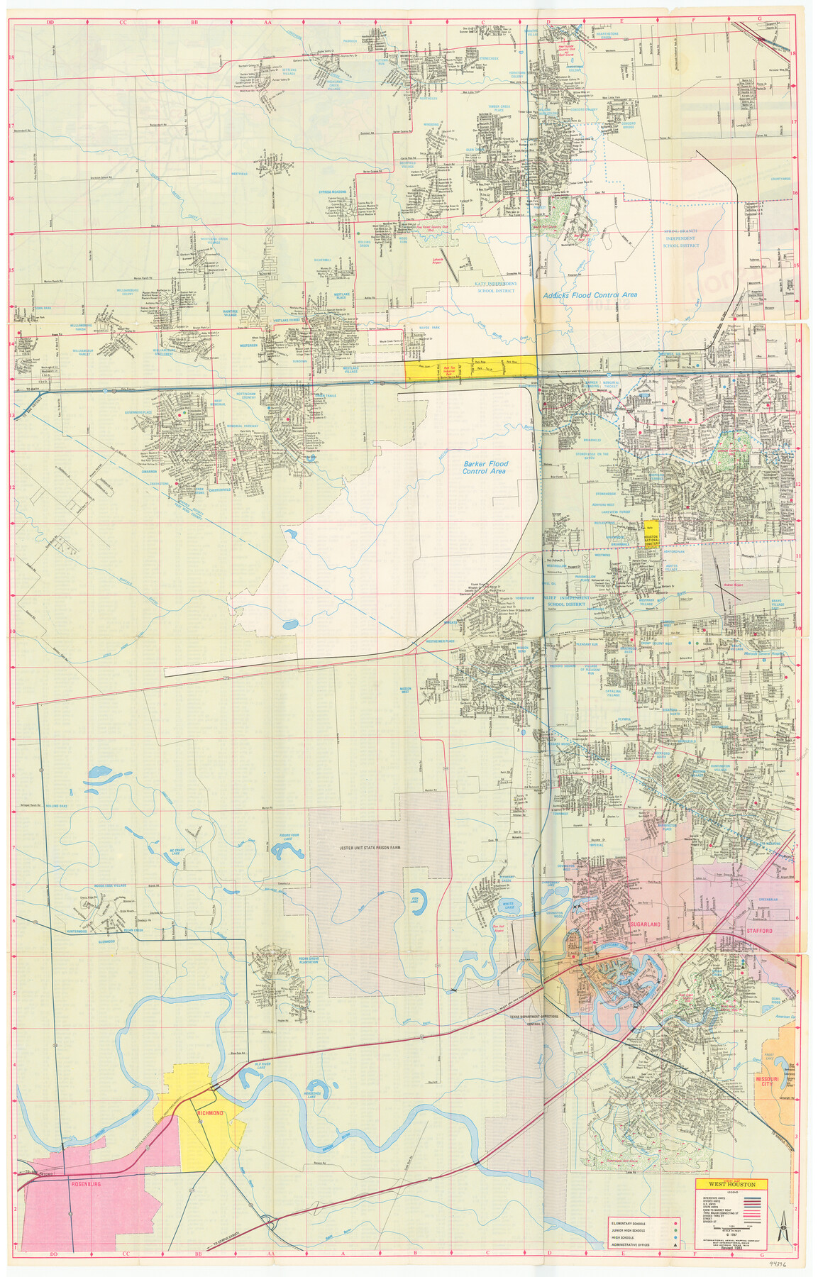
West Houston: Hwy. 6 from Spencer Rd. in the North to South of Sugar Land. From Wilcrest Dr. in the East to and including Katy.
[Verso - Map of West Houston]
-
Map/Doc
94336
-
Collection
General Map Collection
-
Object Dates
1982 (Copyright Date)
1983 (Edition Date)
-
People and Organizations
International Aerial Mapping Company (Publisher)
-
Counties
Harris
-
Subjects
City
-
Height x Width
35.4 x 22.7 inches
89.9 x 57.7 cm
-
Medium
paper, etching/engraving/lithograph
-
Comments
For maps of Katy and Thru Route of Houston Metro on recto, see 94335. For research only.
Related maps
West Houston: Hwy. 6 from Spencer Rd. in the North to South of Sugar Land. From Wilcrest Dr. in the East to and including Katy.

West Houston: Hwy. 6 from Spencer Rd. in the North to South of Sugar Land. From Wilcrest Dr. in the East to and including Katy.
Size 35.4 x 22.8 inches
Map/Doc 94335
Part of: General Map Collection
Kimble County Working Sketch 46

Print $20.00
- Digital $50.00
Kimble County Working Sketch 46
1951
Size 29.3 x 18.9 inches
Map/Doc 70114
Terry County Sketch File 19

Print $6.00
- Digital $50.00
Terry County Sketch File 19
1998
Size 11.2 x 8.9 inches
Map/Doc 38047
Bell County Sketch File 27

Print $4.00
- Digital $50.00
Bell County Sketch File 27
1870
Size 8.9 x 9.4 inches
Map/Doc 14435
Texas-Louisiana Gulf Coastal Region showing Oil & Gas Fields & Prospects, Pipe Lines, Refineries & Principal Highways

Print $20.00
- Digital $50.00
Texas-Louisiana Gulf Coastal Region showing Oil & Gas Fields & Prospects, Pipe Lines, Refineries & Principal Highways
1933
Size 22.4 x 44.2 inches
Map/Doc 96874
Flight Mission No. DQN-1K, Frame 70, Calhoun County

Print $20.00
- Digital $50.00
Flight Mission No. DQN-1K, Frame 70, Calhoun County
1953
Size 18.6 x 22.3 inches
Map/Doc 84157
Ochiltree County Boundary File 7

Print $20.00
- Digital $50.00
Ochiltree County Boundary File 7
Size 36.1 x 9.3 inches
Map/Doc 57715
Terrell County Rolled Sketch 9

Print $20.00
- Digital $50.00
Terrell County Rolled Sketch 9
Size 17.6 x 42.9 inches
Map/Doc 7925
Knox County Working Sketch 9

Print $20.00
- Digital $50.00
Knox County Working Sketch 9
1945
Size 33.8 x 43.3 inches
Map/Doc 70251
Sherman County Boundary File 4

Print $54.00
- Digital $50.00
Sherman County Boundary File 4
Size 8.9 x 8.5 inches
Map/Doc 58782
Flight Mission No. DQN-2K, Frame 114, Calhoun County

Print $20.00
- Digital $50.00
Flight Mission No. DQN-2K, Frame 114, Calhoun County
1953
Size 18.5 x 22.2 inches
Map/Doc 84290
Polk County Boundary File 70

Print $12.00
- Digital $50.00
Polk County Boundary File 70
Size 8.2 x 3.6 inches
Map/Doc 57930
The Military History of Texas Map!

The Military History of Texas Map!
Size 24.2 x 35.2 inches
Map/Doc 94360
You may also like
Republic Counties. January 1, 1843

Print $20.00
Republic Counties. January 1, 1843
2020
Size 24.5 x 21.7 inches
Map/Doc 96316
Reeves County Working Sketch 1

Print $40.00
- Digital $50.00
Reeves County Working Sketch 1
Size 48.6 x 38.2 inches
Map/Doc 63443
Fannin County Sketch File 20a

Print $7.00
- Digital $50.00
Fannin County Sketch File 20a
1889
Size 10.4 x 8.4 inches
Map/Doc 22482
[Surveys near Keechi Creek and the Trinity River]
![47, [Surveys near Keechi Creek and the Trinity River], General Map Collection](https://historictexasmaps.com/wmedia_w700/maps/47.tif.jpg)
Print $2.00
- Digital $50.00
[Surveys near Keechi Creek and the Trinity River]
1841
Size 8.6 x 8.2 inches
Map/Doc 47
A Traveler's Map of Spain and Portugal

A Traveler's Map of Spain and Portugal
Size 20.4 x 31.2 inches
Map/Doc 95929
Jefferson County Working Sketch 4

Print $20.00
- Digital $50.00
Jefferson County Working Sketch 4
1930
Size 19.4 x 28.0 inches
Map/Doc 66547
United States - Gulf Coast Texas - Southern part of Laguna Madre

Print $20.00
- Digital $50.00
United States - Gulf Coast Texas - Southern part of Laguna Madre
1941
Size 26.4 x 18.2 inches
Map/Doc 72956
Archer County Working Sketch 13

Print $20.00
- Digital $50.00
Archer County Working Sketch 13
1939
Size 12.0 x 18.5 inches
Map/Doc 67154
Kimble County Working Sketch 43

Print $20.00
- Digital $50.00
Kimble County Working Sketch 43
1949
Size 34.6 x 37.6 inches
Map/Doc 70111
Map of the State of Texas from the latest authorities

Print $20.00
- Digital $50.00
Map of the State of Texas from the latest authorities
1854
Size 13.2 x 16.3 inches
Map/Doc 93761
Refugio County Texas

Print $20.00
- Digital $50.00
Refugio County Texas
1896
Size 20.3 x 26.9 inches
Map/Doc 3985
Erath County Working Sketch 40

Print $20.00
- Digital $50.00
Erath County Working Sketch 40
1977
Size 26.2 x 14.9 inches
Map/Doc 69121