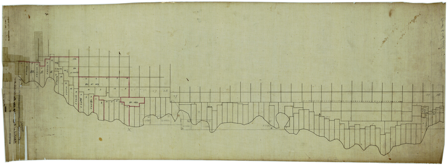
Terrell County Rolled Sketch 9
[Sketch of surveys along Rio Grande]
-
Map/Doc
7925
-
Collection
General Map Collection
-
Counties
Terrell
-
Subjects
Surveying Rolled Sketch
-
Height x Width
17.6 x 42.9 inches
44.7 x 109.0 cm
-
Medium
linen, manuscript
Part of: General Map Collection
A New Map of the United States of America

Print $20.00
- Digital $50.00
A New Map of the United States of America
1850
Size 17.7 x 27.8 inches
Map/Doc 89219
Brewster County Sketch File S-36

Print $80.00
- Digital $50.00
Brewster County Sketch File S-36
1986
Size 14.4 x 8.8 inches
Map/Doc 15865
Wise County Sketch File 11

Print $4.00
- Digital $50.00
Wise County Sketch File 11
1860
Size 12.8 x 8.0 inches
Map/Doc 40544
Ward County Working Sketch 8

Print $20.00
- Digital $50.00
Ward County Working Sketch 8
1946
Size 22.7 x 33.7 inches
Map/Doc 72314
Flight Mission No. DCL-4C, Frame 121, Kenedy County

Print $20.00
- Digital $50.00
Flight Mission No. DCL-4C, Frame 121, Kenedy County
1943
Size 18.6 x 22.3 inches
Map/Doc 85820
Wilbarger Co.

Print $20.00
- Digital $50.00
Wilbarger Co.
1949
Size 47.8 x 38.8 inches
Map/Doc 73324
Falls County Working Sketch 5

Print $40.00
- Digital $50.00
Falls County Working Sketch 5
2008
Size 34.3 x 56.6 inches
Map/Doc 88885
Castro County

Print $20.00
- Digital $50.00
Castro County
1891
Size 25.4 x 23.1 inches
Map/Doc 66750
Hamilton County Working Sketch 28

Print $20.00
- Digital $50.00
Hamilton County Working Sketch 28
1976
Size 27.7 x 33.2 inches
Map/Doc 63366
Wichita County Sketch File 14

Print $20.00
- Digital $50.00
Wichita County Sketch File 14
1885
Size 17.7 x 17.0 inches
Map/Doc 12678
Presidio County Rolled Sketch 53

Print $20.00
- Digital $50.00
Presidio County Rolled Sketch 53
1911
Size 13.0 x 22.2 inches
Map/Doc 7346
Stonewall County Working Sketch 18

Print $20.00
- Digital $50.00
Stonewall County Working Sketch 18
1956
Size 24.0 x 21.6 inches
Map/Doc 62325
You may also like
Gregg County Working Sketch 1

Print $20.00
- Digital $50.00
Gregg County Working Sketch 1
1930
Size 14.9 x 15.3 inches
Map/Doc 63267
Map of Clay County, Texas

Print $20.00
- Digital $50.00
Map of Clay County, Texas
1880
Size 33.0 x 23.2 inches
Map/Doc 699
Pecos County Sketch File 38

Print $4.00
- Digital $50.00
Pecos County Sketch File 38
1895
Size 11.3 x 8.8 inches
Map/Doc 33720
Map of Survey 7, Block 1, D.B. Gardner

Print $20.00
- Digital $50.00
Map of Survey 7, Block 1, D.B. Gardner
1915
Size 16.9 x 22.3 inches
Map/Doc 5067
Dawson County Working Sketch 8

Print $20.00
- Digital $50.00
Dawson County Working Sketch 8
1943
Size 15.3 x 15.4 inches
Map/Doc 68552
Stremme General Land Office Drawings, side view

Print $20.00
Stremme General Land Office Drawings, side view
Size 27.0 x 21.8 inches
Map/Doc 79739
John H. Stephens Block S2, State Capitol Leagues

Print $20.00
- Digital $50.00
John H. Stephens Block S2, State Capitol Leagues
Size 28.6 x 23.2 inches
Map/Doc 92995
Cooke County Working Sketch 39

Print $20.00
- Digital $50.00
Cooke County Working Sketch 39
2009
Size 30.5 x 36.5 inches
Map/Doc 89042
Kenedy County Aerial Photograph Index Sheet 3

Print $20.00
- Digital $50.00
Kenedy County Aerial Photograph Index Sheet 3
1943
Size 23.5 x 18.4 inches
Map/Doc 83715
Flight Mission No. DAH-9M, Frame 202, Orange County

Print $20.00
- Digital $50.00
Flight Mission No. DAH-9M, Frame 202, Orange County
1953
Size 18.5 x 22.6 inches
Map/Doc 86870
Texas, Matagorda Peninsula, Cotton Bayou

Print $6.00
- Digital $50.00
Texas, Matagorda Peninsula, Cotton Bayou
Size 31.5 x 34.6 inches
Map/Doc 69986
Harris County Sketch File 11

Print $18.00
- Digital $50.00
Harris County Sketch File 11
1895
Size 11.3 x 8.8 inches
Map/Doc 25342