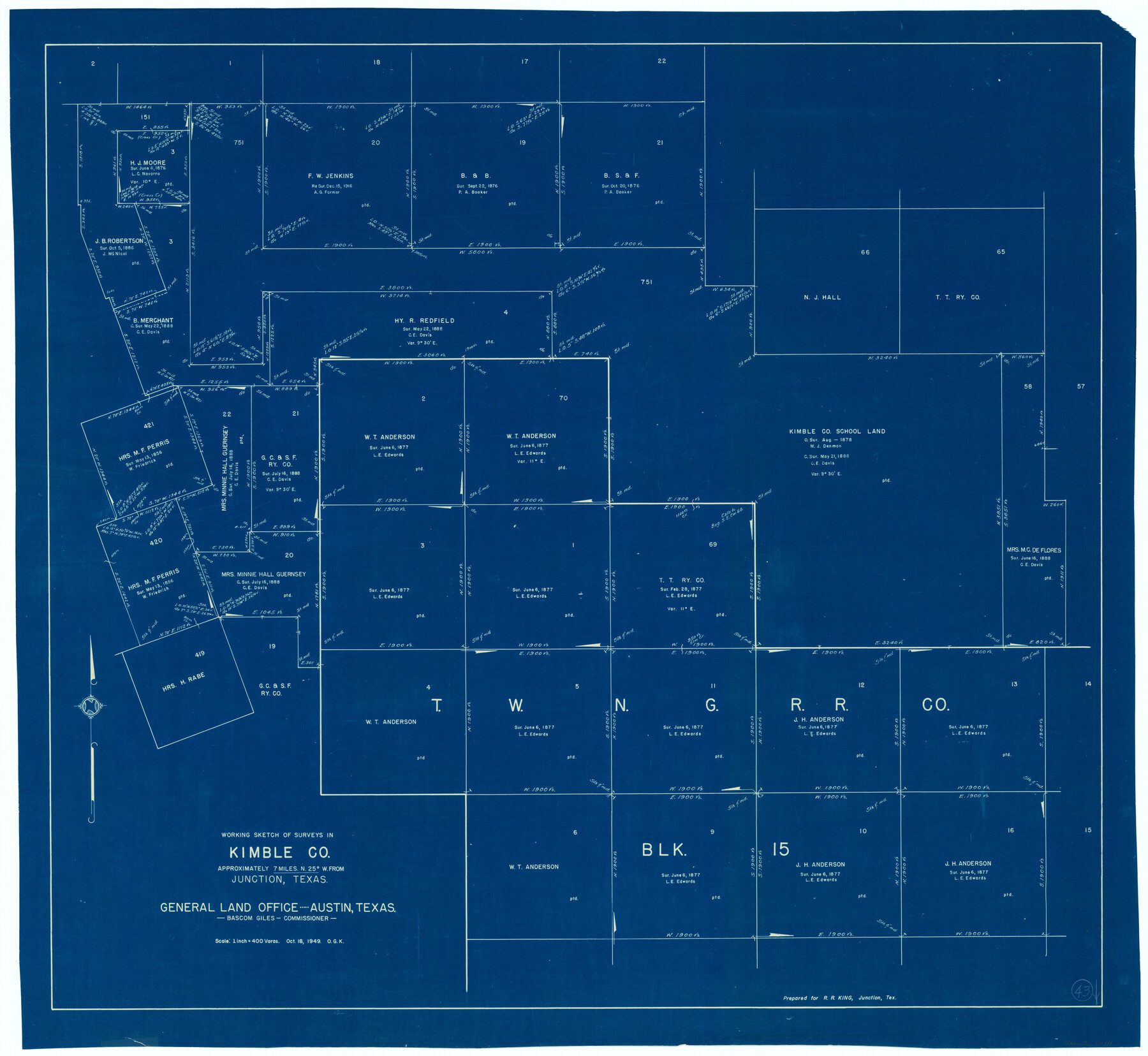
Kimble County Working Sketch 43
-
Map/Doc
70111
-
Collection
General Map Collection
-
Object Dates
10/18/1949 (Creation Date)
-
People and Organizations
Otto G. Kurio (Draftsman)
-
Counties
Kimble
-
Subjects
Surveying Working Sketch
-
Height x Width
34.6 x 37.6 inches
87.9 x 95.5 cm
-
Scale
1" = 400 varas
Part of: General Map Collection
Dallam County Rolled Sketch 7

Print $20.00
- Digital $50.00
Dallam County Rolled Sketch 7
Size 15.4 x 18.6 inches
Map/Doc 5685
United States - Gulf Coast Texas - Southern part of Laguna Madre

Print $20.00
- Digital $50.00
United States - Gulf Coast Texas - Southern part of Laguna Madre
1941
Size 26.4 x 18.2 inches
Map/Doc 72945
Flight Mission No. DQO-7K, Frame 76, Galveston County

Print $20.00
- Digital $50.00
Flight Mission No. DQO-7K, Frame 76, Galveston County
1952
Size 18.8 x 22.5 inches
Map/Doc 85103
Karnes County Sketch File 14

Print $6.00
- Digital $50.00
Karnes County Sketch File 14
1897
Size 9.7 x 6.2 inches
Map/Doc 28615
Supreme Court of the United States, October Term, 1924, No. 13, Original - The State of Oklahoma, Complainant vs. The State of Texas, Defendant, The United States, Intervener

Print $20.00
- Digital $50.00
Supreme Court of the United States, October Term, 1924, No. 13, Original - The State of Oklahoma, Complainant vs. The State of Texas, Defendant, The United States, Intervener
1924
Size 32.0 x 32.8 inches
Map/Doc 75132
Ward County Working Sketch 46

Print $20.00
- Digital $50.00
Ward County Working Sketch 46
1974
Size 35.0 x 38.3 inches
Map/Doc 72352
Lampasas County Sketch File 1

Print $4.00
- Digital $50.00
Lampasas County Sketch File 1
Size 12.6 x 8.1 inches
Map/Doc 29388
Cherokee County Sketch File 25

Print $4.00
- Digital $50.00
Cherokee County Sketch File 25
1852
Size 12.8 x 8.1 inches
Map/Doc 18167
Bee County Sketch File 6

Print $6.00
- Digital $50.00
Bee County Sketch File 6
1860
Size 12.3 x 7.7 inches
Map/Doc 14272
Controlled Mosaic by Jack Amman Photogrammetric Engineers, Inc - Sheet 53

Print $20.00
- Digital $50.00
Controlled Mosaic by Jack Amman Photogrammetric Engineers, Inc - Sheet 53
1954
Size 20.0 x 24.0 inches
Map/Doc 83512
Guadalupe County

Print $20.00
- Digital $50.00
Guadalupe County
1877
Size 21.5 x 21.4 inches
Map/Doc 3608
Freestone County Working Sketch 20

Print $40.00
- Digital $50.00
Freestone County Working Sketch 20
1980
Size 52.4 x 39.6 inches
Map/Doc 69262
You may also like

Sketch of North Line of T&P Eighty Mile Reserve

Print $20.00
- Digital $50.00
Sketch of North Line of T&P Eighty Mile Reserve
1914
Size 43.0 x 9.8 inches
Map/Doc 2245
Brewster County Rolled Sketch 12

Print $20.00
- Digital $50.00
Brewster County Rolled Sketch 12
1889
Size 26.7 x 31.4 inches
Map/Doc 5193
Flight Mission No. CRK-3P, Frame 174, Refugio County

Print $20.00
- Digital $50.00
Flight Mission No. CRK-3P, Frame 174, Refugio County
1956
Size 18.6 x 22.3 inches
Map/Doc 86921
Flight Mission No. DQN-2K, Frame 85, Calhoun County

Print $20.00
- Digital $50.00
Flight Mission No. DQN-2K, Frame 85, Calhoun County
1953
Size 18.8 x 22.4 inches
Map/Doc 84275
Burnet County Sketch File 23

Print $8.00
- Digital $50.00
Burnet County Sketch File 23
1853
Size 9.0 x 10.9 inches
Map/Doc 16718

[Sketch for Mineral Application 13440]
![2799, [Sketch for Mineral Application 13440], General Map Collection](https://historictexasmaps.com/wmedia_w700/maps/2799-1.tif.jpg)
Print $20.00
- Digital $50.00
[Sketch for Mineral Application 13440]
1925
Size 24.3 x 54.0 inches
Map/Doc 2799
Township 5 South Range 13 West, South Western District, Louisiana

Print $20.00
- Digital $50.00
Township 5 South Range 13 West, South Western District, Louisiana
1879
Size 19.3 x 24.8 inches
Map/Doc 65885
Old Miscellaneous File 21

Print $16.00
- Digital $50.00
Old Miscellaneous File 21
Size 14.3 x 8.7 inches
Map/Doc 75583
Map of Texas with population and location of principal towns and cities according to latest reliable statistics

Print $20.00
- Digital $50.00
Map of Texas with population and location of principal towns and cities according to latest reliable statistics
1921
Size 19.0 x 22.2 inches
Map/Doc 94066
Coleman County Sketch File 5

Print $3.00
- Digital $50.00
Coleman County Sketch File 5
1858
Size 15.2 x 9.9 inches
Map/Doc 18673