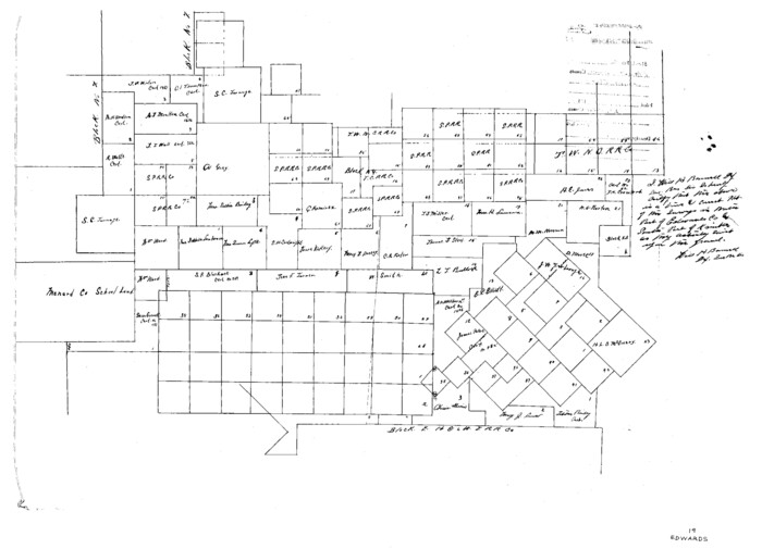
Edwards County Sketch File 19

Kimble County Sketch File 28
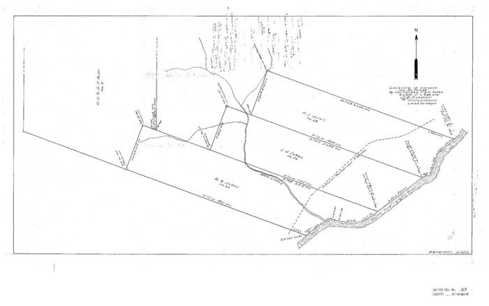
Kimble County Sketch File 29 and 30
1936

Kimble County Sketch File 31
1890
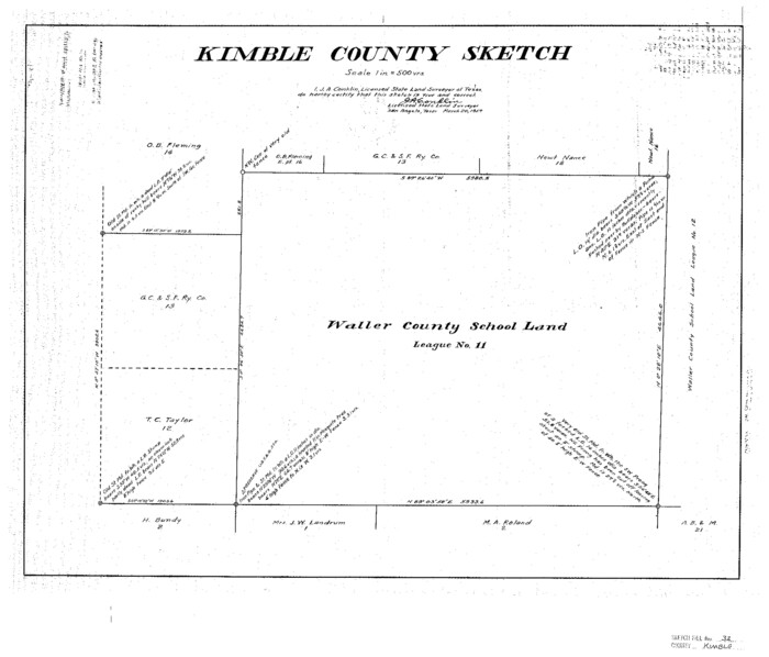
Kimble County Sketch File 32
1957

Kimble County Sketch File 34
1963

Kimble County Sketch File 36
1963
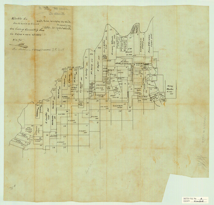
Kimble County Sketch File A
1895

Map of Fisher and Miller's Colony made from the records in the Office of the District Surveyor of Bexar comprising also all the recent surveys
1855

Crockett County Sketch File 35b
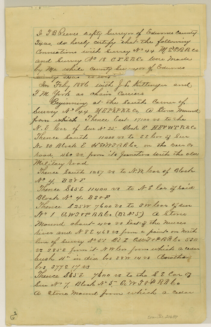
Edwards County Sketch File 11
1887

Gillespie County Sketch File 2
1847

Kerr County Sketch File 5
1878

Kimble County Sketch File 1
1854

Kimble County Sketch File 2
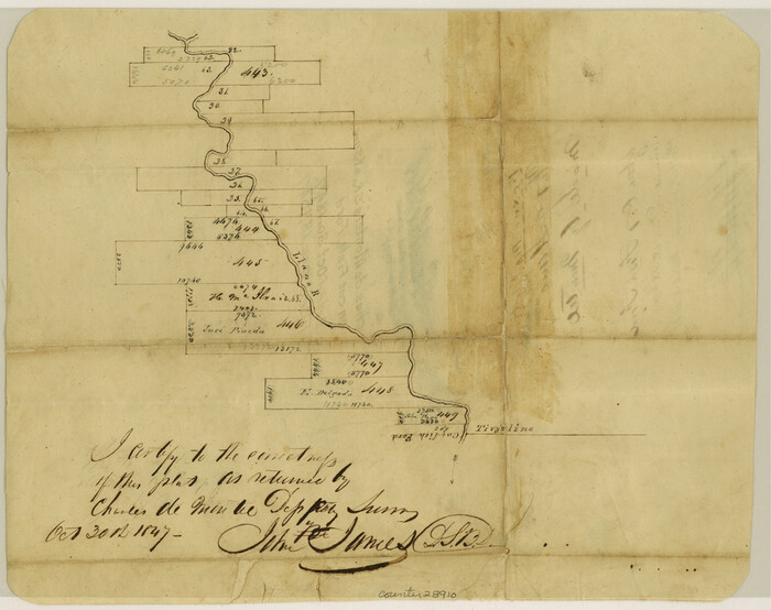
Kimble County Sketch File 3
1847
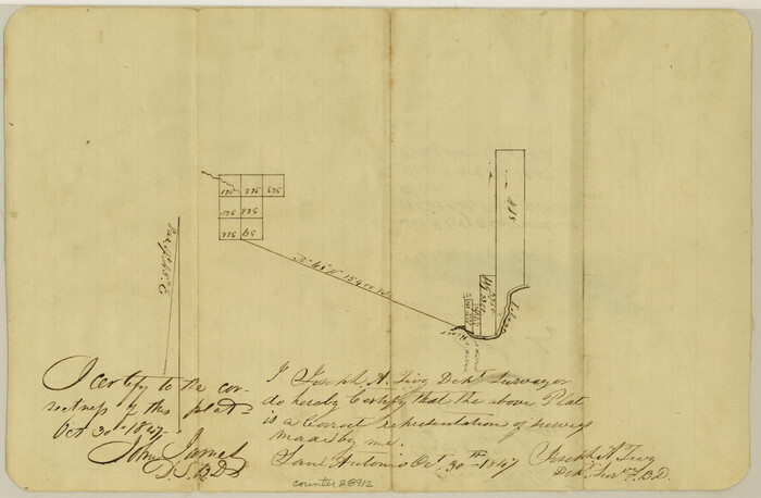
Kimble County Sketch File 4
1847

Kimble County Sketch File 5
1858

Kimble County Sketch File 6

Kimble County Sketch File 8
1847
Kimble County Sketch File 9
1871
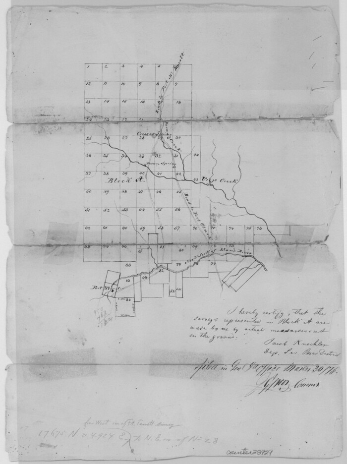
Kimble County Sketch File 9a
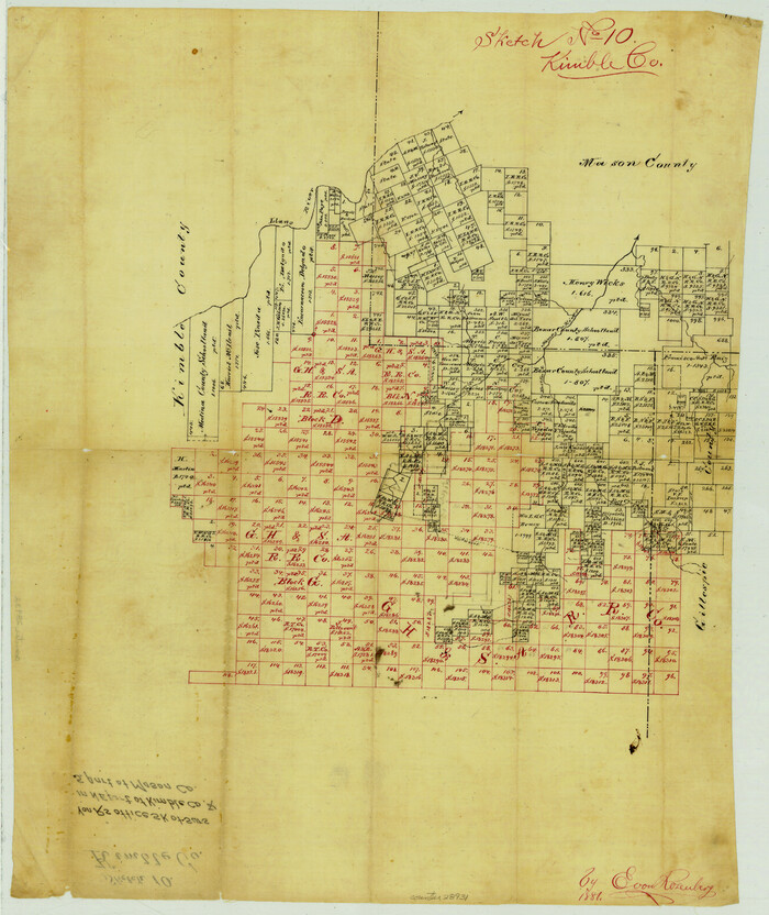
Kimble County Sketch File 10
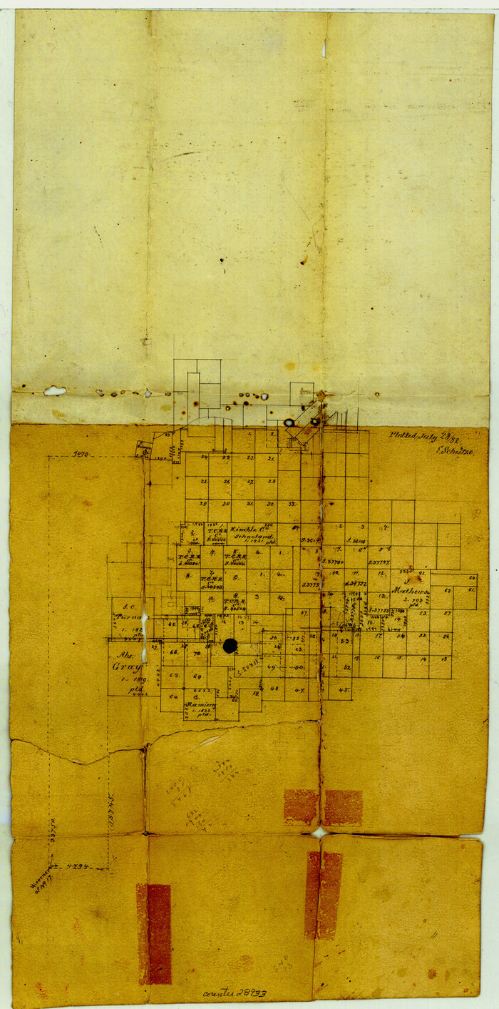
Kimble County Sketch File 11
1882
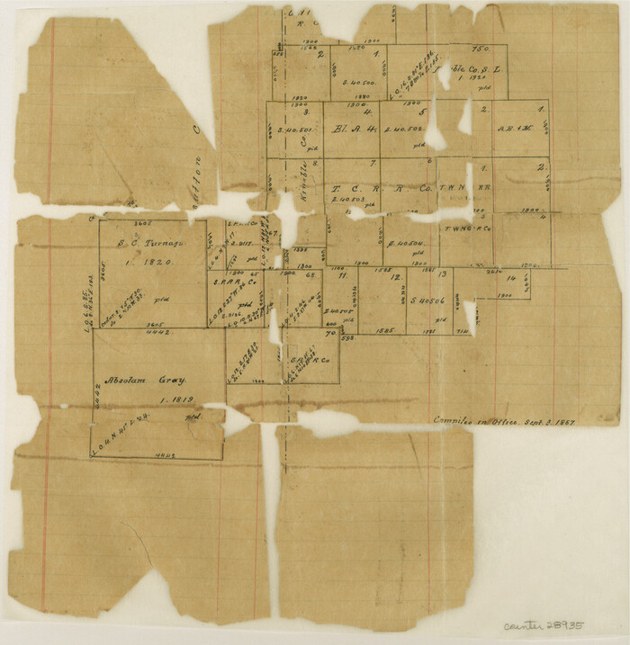
Kimble County Sketch File 12

Kimble County Sketch File 13
1885
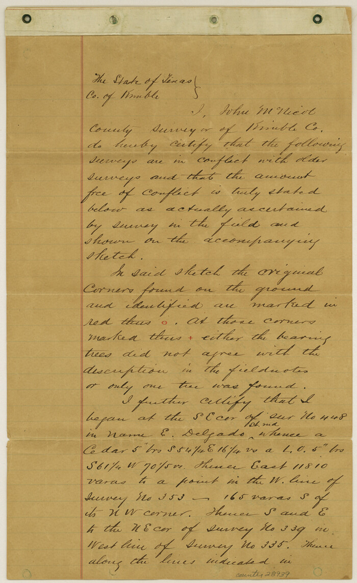
Kimble County Sketch File 14
1886

Kimble County Sketch File 16
1886

Edwards County Sketch File 19
-
Size
17.1 x 23.7 inches
-
Map/Doc
11430

Kimble County Sketch File 28
-
Size
23.3 x 17.8 inches
-
Map/Doc
11927

Kimble County Sketch File 29 and 30
1936
-
Size
15.4 x 24.6 inches
-
Map/Doc
11928
-
Creation Date
1936

Kimble County Sketch File 31
1890
-
Size
26.0 x 24.3 inches
-
Map/Doc
11929
-
Creation Date
1890

Kimble County Sketch File 32
1957
-
Size
18.4 x 21.6 inches
-
Map/Doc
11930
-
Creation Date
1957

Kimble County Sketch File 34
1963
-
Size
26.2 x 16.3 inches
-
Map/Doc
11931
-
Creation Date
1963

Kimble County Sketch File 36
1963
-
Size
22.2 x 25.0 inches
-
Map/Doc
11932
-
Creation Date
1963

Kimble County Sketch File A
1895
-
Size
17.9 x 18.7 inches
-
Map/Doc
11933
-
Creation Date
1895
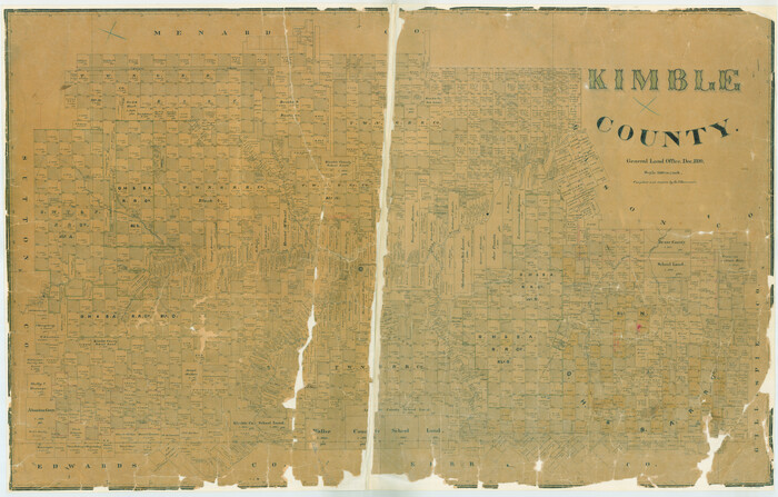
Kimble County
1890
-
Size
37.4 x 58.6 inches
-
Map/Doc
16866
-
Creation Date
1890
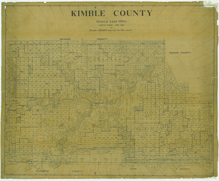
Kimble County
1930
-
Size
42.2 x 50.9 inches
-
Map/Doc
1875
-
Creation Date
1930

Map of Fisher and Miller's Colony made from the records in the Office of the District Surveyor of Bexar comprising also all the recent surveys
1855
-
Size
23.7 x 35.2 inches
-
Map/Doc
1971
-
Creation Date
1855

Crockett County Sketch File 35b
-
Size
13.9 x 8.8 inches
-
Map/Doc
19736

Edwards County Sketch File 11
1887
-
Size
13.7 x 8.8 inches
-
Map/Doc
21687
-
Creation Date
1887

Gillespie County Sketch File 2
1847
-
Size
12.8 x 15.5 inches
-
Map/Doc
24127
-
Creation Date
1847

Kerr County Sketch File 5
1878
-
Size
14.2 x 8.4 inches
-
Map/Doc
28865
-
Creation Date
1878

Kimble County Sketch File 1
1854
-
Size
7.2 x 10.0 inches
-
Map/Doc
28907
-
Creation Date
1854

Kimble County Sketch File 2
-
Size
7.0 x 6.7 inches
-
Map/Doc
28909

Kimble County Sketch File 3
1847
-
Size
9.1 x 11.5 inches
-
Map/Doc
28910
-
Creation Date
1847

Kimble County Sketch File 4
1847
-
Size
7.9 x 12.1 inches
-
Map/Doc
28912
-
Creation Date
1847

Kimble County Sketch File 5
1858
-
Size
7.9 x 5.5 inches
-
Map/Doc
28916
-
Creation Date
1858

Kimble County Sketch File 6
-
Size
6.4 x 8.0 inches
-
Map/Doc
28918

Kimble County Sketch File 8
1847
-
Size
7.7 x 7.0 inches
-
Map/Doc
28920
-
Creation Date
1847

Kimble County Sketch File 9
1871
-
Size
8.2 x 14.1 inches
-
Map/Doc
28927
-
Creation Date
1871

Kimble County Sketch File 9a
-
Size
12.4 x 9.2 inches
-
Map/Doc
28929

Kimble County Sketch File 10
-
Size
18.5 x 15.6 inches
-
Map/Doc
28931

Kimble County Sketch File 11
1882
-
Size
20.5 x 10.2 inches
-
Map/Doc
28933
-
Creation Date
1882

Kimble County Sketch File 12
-
Size
10.7 x 10.5 inches
-
Map/Doc
28935

Kimble County Sketch File 13
1885
-
Size
14.1 x 8.6 inches
-
Map/Doc
28937
-
Creation Date
1885

Kimble County Sketch File 14
1886
-
Size
14.1 x 8.6 inches
-
Map/Doc
28939
-
Creation Date
1886

Kimble County Sketch File 16
1886
-
Size
8.5 x 7.9 inches
-
Map/Doc
28942
-
Creation Date
1886